Taiwan and neighbouring countries have the unfortunate luck of being prime destinations for pacific ocean typhoons during the summer months. When Typhoons strike we always breathe a collective sigh of relief in the aftermath that the mayhem wasn’t as bad as it could have been, and in most cases if we don’t lose electricity or water service we’re even happier.
The country is an almost perfectly formed island with the Central Mountain Range (中央山脈) separating the east from the west with the mountains forming a natural barrier saving the most populous areas of the country from the worst effects of powerful Pacific ocean typhoons.
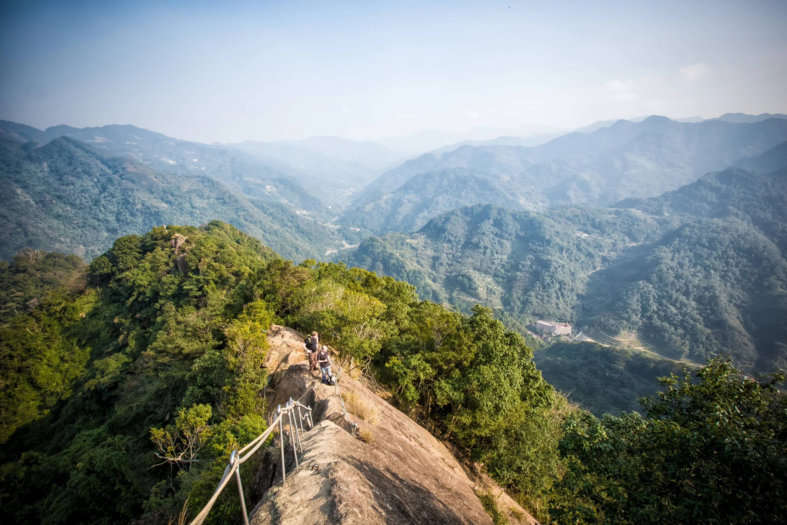
What a lot of people fail to realize however is that when a typhoon attacks, it does a lot of damage to the mountains, rivers, hiking trails and roads in the area. For Indigenous villages, typhoons pose a great threat to not only the safety of their homes but also their livelihoods as well. For mountain and nature lovers like myself, the destruction in the mountains caused by these typhoons means that certain trails will be closed for long periods of time and the landscape in some cases can be changed completely.
After shooting Manyueyuan (滿月圓) a few weeks back, I thought it would be a good idea to go to the popular Dabao river (大豹溪) and get some shots to share with people. The Dabao River forms in the park from a few water sources higher in the mountains but it flows all the way down into Sanxia. These days the river is a popular spot for escaping the heat of the summer as people will go and swim in the cool mountain streams.
Typhoon Soudelor (蘇迪勒颱風) had its way with Taiwan the weekend after I visited Manyueyuan and it did considerable damage around the country (including my place losing power for over 52 hours) and pretty much shut down Manyueyuan for a few months due to the damage as well as washing out a lot of the roads in the area leading up to the park.
Click here to learn more about Typhoon Soudelor and the damage it caused.
I thought that I'd wait a few weeks after the typhoon left for things to go back to normal before heading back up again to get some shots of the beautiful Dabao River. I love the drive from my place through Daxi and then into Sanxia and up into the mountains. Its a relaxing drive and once you get into the mountains the air feels so much better than it does while driving in the city.
Unfortunately it seems I didn't wait long enough and the river was still reeling from the devastating effects of the typhoon. The roads up to Manyueyuan were still in really bad shape, some were completely washed out and others simply just disappeared and had some safety tape up letting motorists know they were about to drive off a cliff.
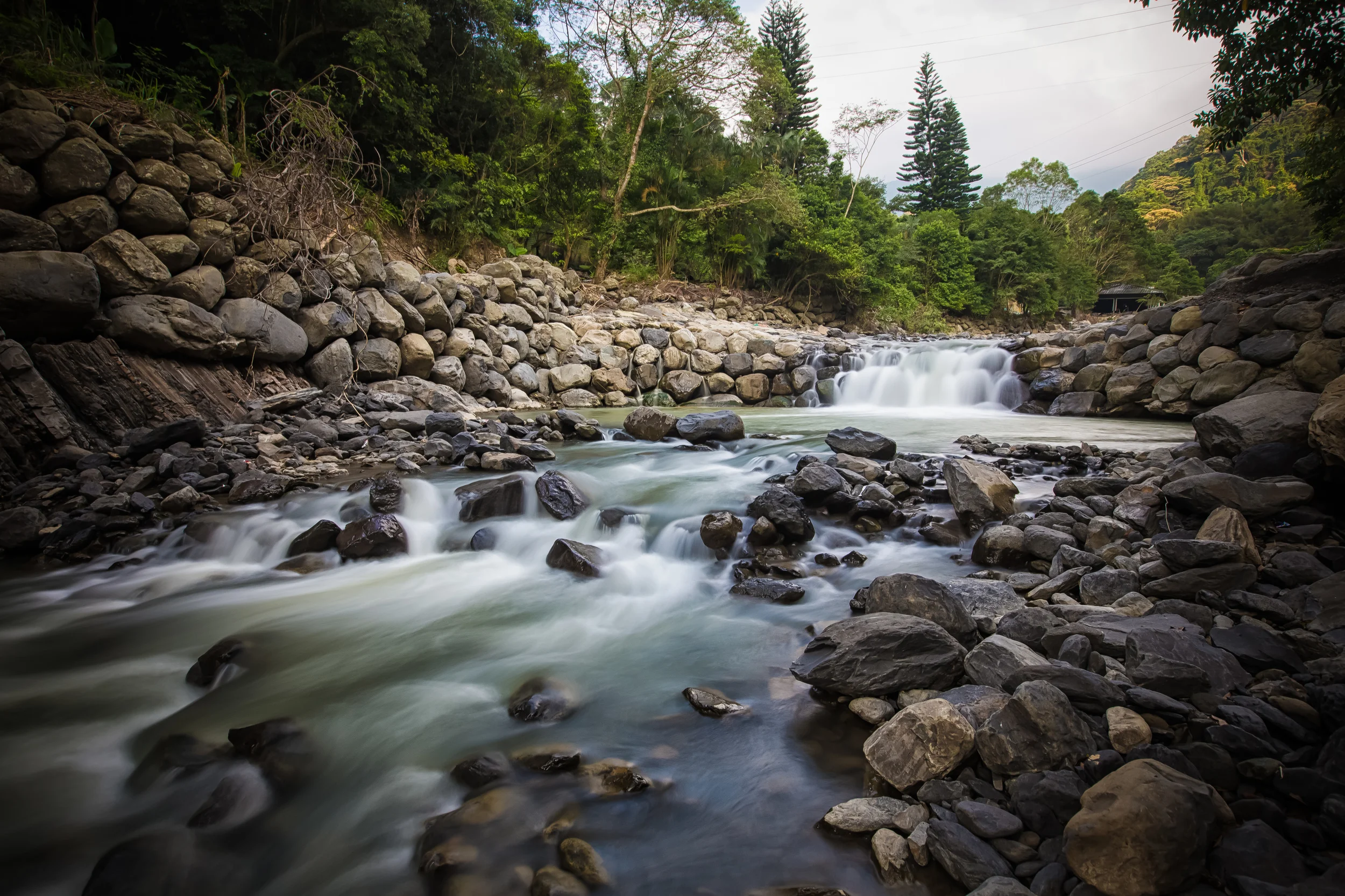
The river was still full of dirt and sediment that washed down from the mountains and it turned the once clean and almost emerald green water a gross cloudy shade of green which pretty much stayed the same colour from the start of the river all the way down to the bottom.
In the areas where I got close enough to the river (a lot of places were off-limits due to the damage), the water looked really dirty and there was garbage strewn about making it look like it was just another polluted river rather than a beautiful mountain river with fresh, clean water for both swimming and drinking.
I did the best I could photo-wise to make the shots of the river look good, but honestly this is going to have to be a ‘to be continued’ sort of blog as I want to show the river in its fully glory when it gets back to normal.
What you're seeing today isn't indicative of the beauty of the Dabao River and I'm posting this to remind people that even though you got through the typhoon safely, there was still millions of dollars worth of damage done and in some places the landscape of this beautiful little island has been changed forever.
Until next time.
Gallery / Flickr (High Res Photos)