When people think of Taiwan’s capital city, Taipei, they often think of a modern metropolis with Taipei 101 dominating the skyline and showcasing the economic might of the country. What few realize however is that the city is almost completely surrounded by mountains and nature. This mixture of the ultra-modern with the natural environment is something that a lot of cities around the world would love to have access to, but here in Taipei, its just a part of every day life as the city is and has always been defined by its mountains.
Most tourists who visit Taiwan are already aware of mountains like Elephant Mountain or some of the others on the Four Beasts Trail, but when we actually talk about the mountains the ‘define’ the city, you don’t have to look any further than those found within Yangmingshan National Park (陽明山國家公園).
The reason for this is because Yangmingshan National Park is home to twenty or more volcanoes in the Datun Volcano Group (大屯火山群) which have over the past two million years erupted and helped to form much of the landscape of the Greater Taipei region.
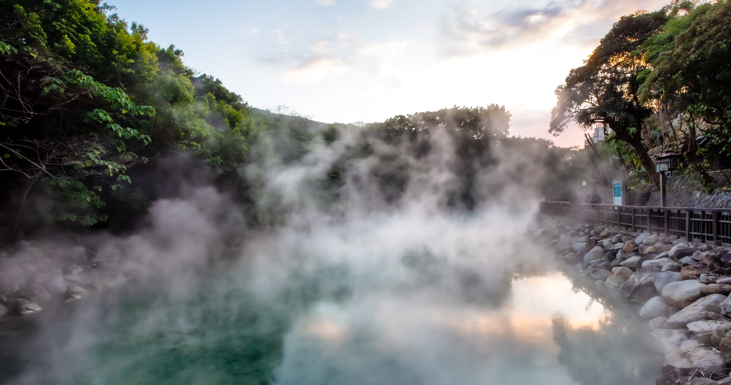
You’ll be relieved to know though that even though there is still some thermal activity taking place in the area, most of those volcanoes have since gone dormant and don’t appear to pose any danger. The post-volcanic activity however is something that we can all enjoy the area is now home to a large collection of natural hot springs and fumaroles which have been harnessed and converted into public baths.
Despite their historic significance, it’s likely that most residents of Taipei would have a hard time telling you the names of any of the mountains in the Datun Volcano Group with the exception of Qixing Mountain (七星山).
This is because Qixing Mountain, which is often translated (quite literally) as “Seven Star Mountain” (I won’t be using this name here) is not only the highest mountain of the group, it is also the highest peak in the whole of Taipei.
And because it has become a popular local tourist attraction for hikers, bird watchers, photographers and nature lovers!
The mountain, which at its highest stands at 1,120 metres (3,675 ft) above sea level gets its name from an event that took place more than 700,000 years ago when it last erupted and not from anything that has to do with ‘stars’ as the English name might suggest. It name is derived from what happened post-eruption when the crater at the peak eroded and after many thousands of years created seven separate peaks on the mountain.
Today the volcano lies dormant, but the steaming fumaroles that surround it (and often cover the mountain in a layer of mist) speak to its long history of geothermal activity.
Prior to the arrival of the Chinese Nationalists, the area we refer to as “Yangmingshan” was simply referred to as “Grass Mountain” (草山). In 1950, President Chiang Kai-Shek decided to rename the area in commemoration of Ming Dynasty (明朝) scholar Wang Yangming (王陽明) and plans were made to create a national park to preserve the natural environment.
In the years since the creation of the Yangmingshan National Park, the area has been developed for tourism and outdoor recreation and has become a popular place year-round for hiking, cherry blossom and flower viewing, bathing in hot springs, etc.
More important with respect to this blog post is that the local government has constructed a large network of hiking trails within the National Park area and you can rest assured that the city’s highest peak, Qixing Mountain is well-serviced by these trails. Visitors to the area are provided (free of charge) several well-developed trails where you’ll be able to safely hike to the peak. You’ll also find several rest stops along the way where you can have a seat and enjoy the scenery.
Taipei has quite a few mountains but most people would agree that hiking Qixing Mountain is probably one of those things that every resident of Taipei should do at least once in their life. If you’re a tourist visiting the country, it is also highly recommended that you take some time to enjoy some of the best scenery Taipei has to offer.
The problem for a lot of tourists though is that there isn’t really much useful information about hiking the mountain and what little is available rarely ever gives a complete picture of how to get there, how long its going to take you or any of the other pertinent information that you’re going to need to complete the hike.
I hope that this guide helps out with that and answers any and all of the questions you might have.
Hiking Qixing Mountain
So you’re probably here because you’ve decided to hike Qixing Mountain and you have a few questions. Usually those questions are: “How do I get there?”. “Where do I start?”, “How long will it take?”, “Where do I finish?” and “What will I need?”
I’m going to try to answer all of those questions for you here.
Where do you start and where do you finish?
There are three different trailheads for this mountain - One that starts a short walk from the Yangmingshan Bus Terminal and two others that are much further away (and will likely require taking a shuttle bus to get to).
You may be thinking to yourself that the closest trailhead is probably the best, but as you might expect, the trail is much longer and you’ll end up missing out on a lot of the great vantage points for scenery that you get on the other trails. The other two trailheads start at ‘Xiaoyoukeng’ (小油坑), an area with a giant steaming fumarole and ‘Lengshuikeng’ (冷水坑), another popular spot where you’ll find some public hot spring baths.
When it comes to where you expect to finish the hike, once again, it depends on where you start and how much you plan on hiking - If you start your hike at Lengshuikeng for example, you can hike to the peak and then have the option of either heading back the way you came or making your way toward ‘Xiaoyoukeng’ or ‘Miaopu’ to complete your hike.
I’ve hiked all three, so if you were ask me, I’d suggest taking the shuttle bus to Lengshuikeng, hiking to the peak and then descending to Xiaoyoukeng, which is considered the ‘full circuit’. Once you’re at the trailhead, you’ll be able to get on the bus much more easily than you would if you started in the opposite direction.
I’ll talk more about the routes a little later.
How long does it take to complete the hike?
That really depends on what trailhead you’re starting your hike on, where you plan on finishing and how long you stop to rest or take photos. If I were to give an estimate of the amount of time it would take to complete the hike, I’d probably say that you should be prepared for around three hours, but that includes time to stop as well as for enjoying some time on the peak.
One thing about Qixing Mountain that can be frustrating is the amount of mist that covers the mountain. If you’re hoping to take nice photos of the landscape, you might want to stick around for a little while until the mist clears up. This will add on a bit of time to your hike but it is well worth your time.
What will you need for the hike?
I recommend wearing a good pair of water-proof hiking boots or sneakers and bringing a wind-breaker / raincoat as it is often windy and damp on the peak. Here is where I’d caution you - even if its a sweltering hot summer day and you plan on doing this hike, you should probably still bring a wind-breaker with you for the hike as the temperature at higher-altitudes (in addition to the strong wind) can be chilly.
You should also bring some water and snacks, which you can easily purchase at the 7-11 across from the Yangmingshan Bus Terminal. You’re not going to need a bunch of hiking gear for this one as it is essentially a well-developed sidewalk that just so happens to bring you to the top of the mountain.
Just don’t show up in high-heels.
Yangmingshan’s ‘Flower Seasons’ (陽明山花季)
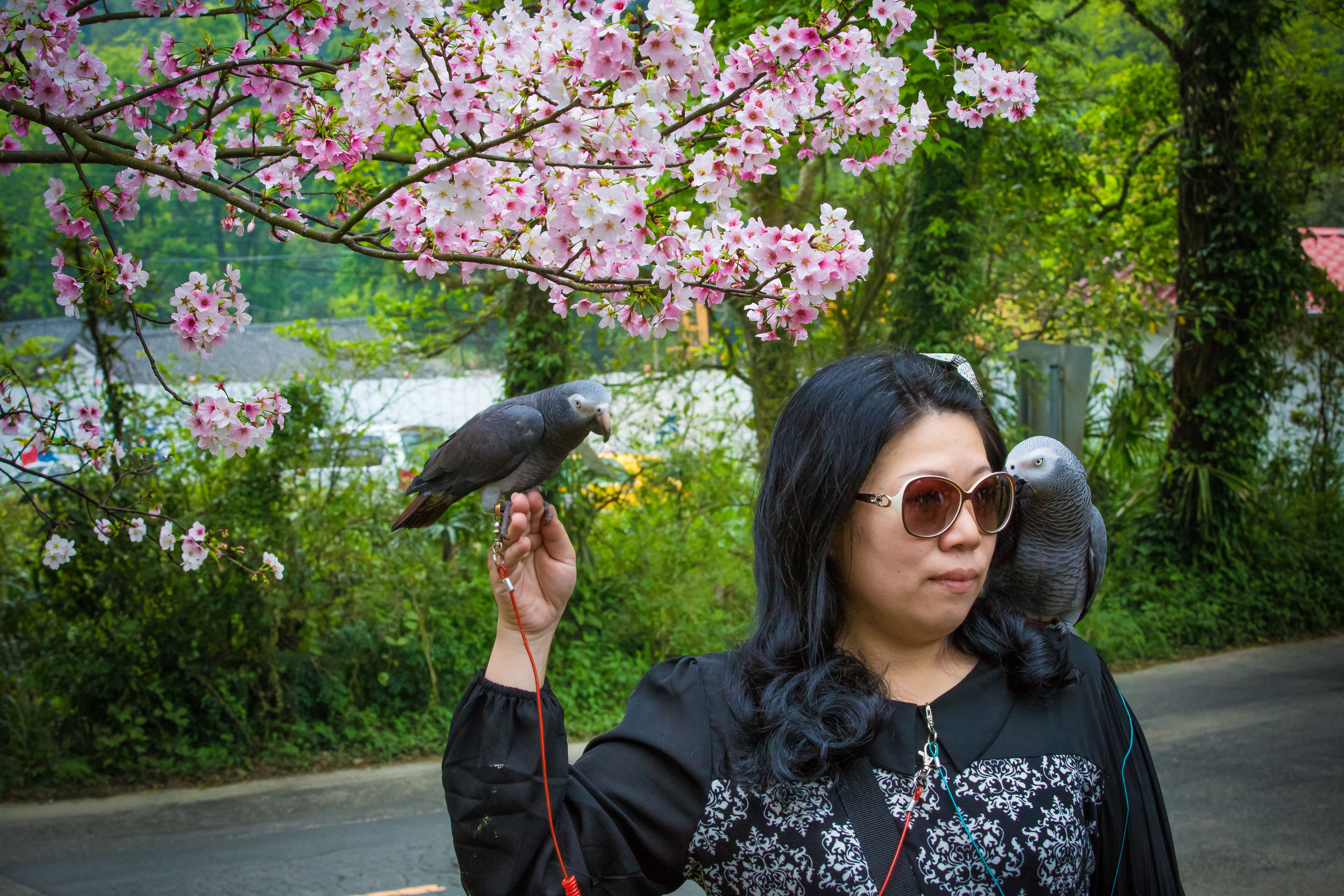
One thing you’ll want to make a mental note of is that Yangmingshan is home to several annual blooming seasons for different kinds of flowers or blossoms. Flower viewing, or “Hanami” (花見) is an extremely popular activity in Taiwan and is only exacerbated by wannabe Instagram celebrities who travel around the country taking photos of themselves for all the likes on the ‘gram.
During the various blooming seasons, traffic on Yangmingshan becomes quite unbearable with thousands of people visiting each day. This means that if you plan on hiking the mountain during one of these seasons, you may have to contend with quite a few other visitors which means longer lines for the buses and traffic jams on the road to the mountain.
It also means that you’re driving a car or scooter, you’ll have to be aware that the local government puts traffic control measures in place which limits all but local traffic from the mountain.
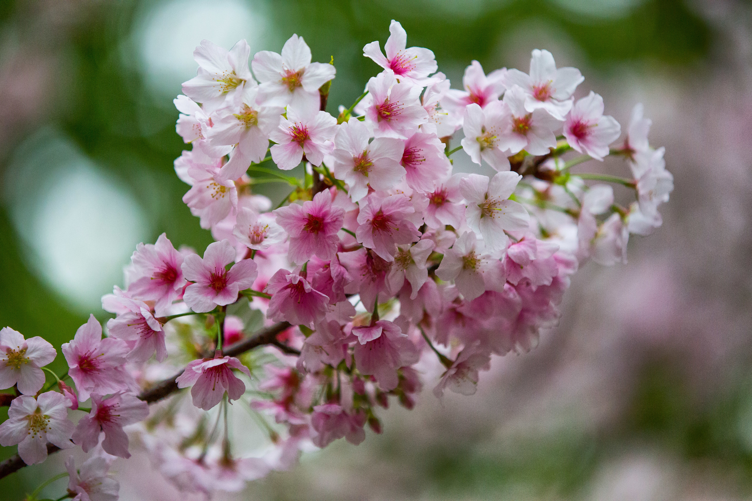
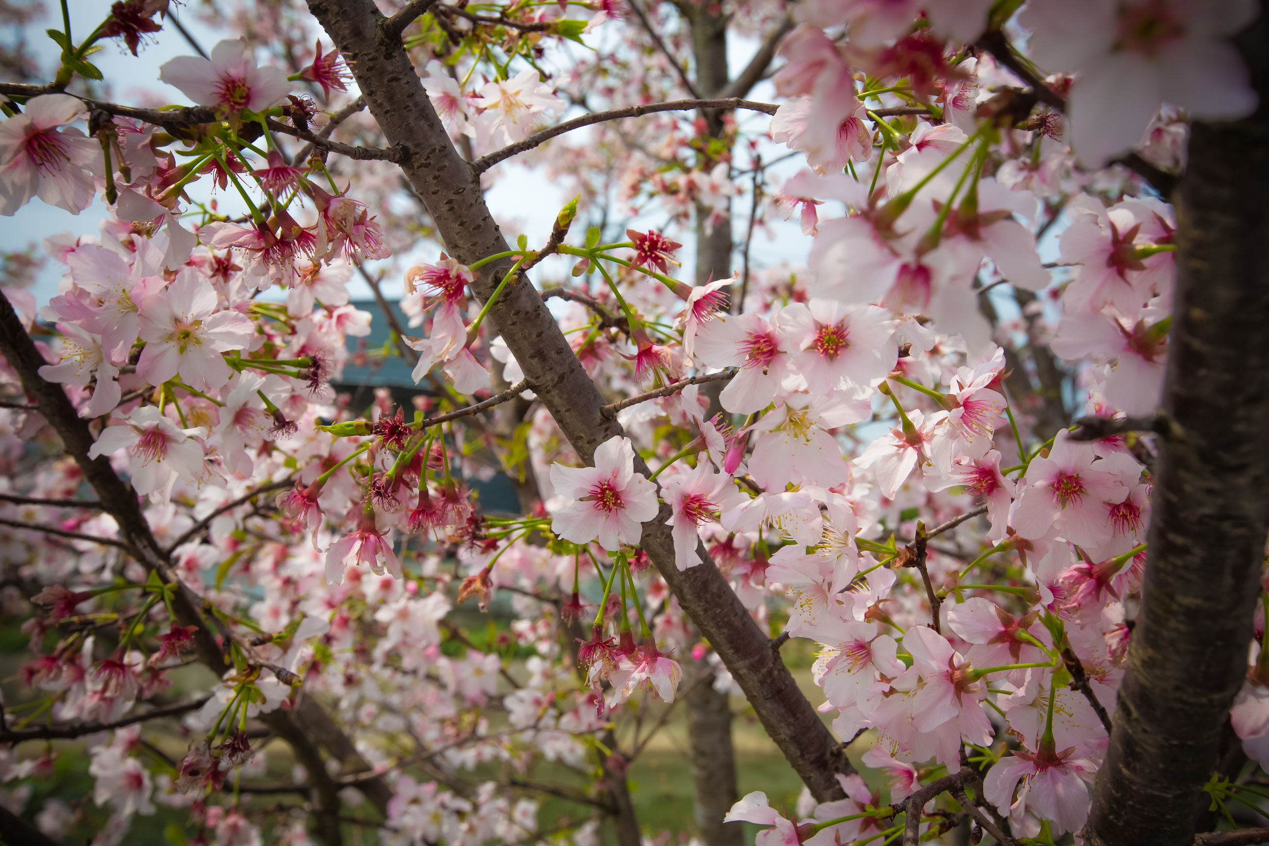
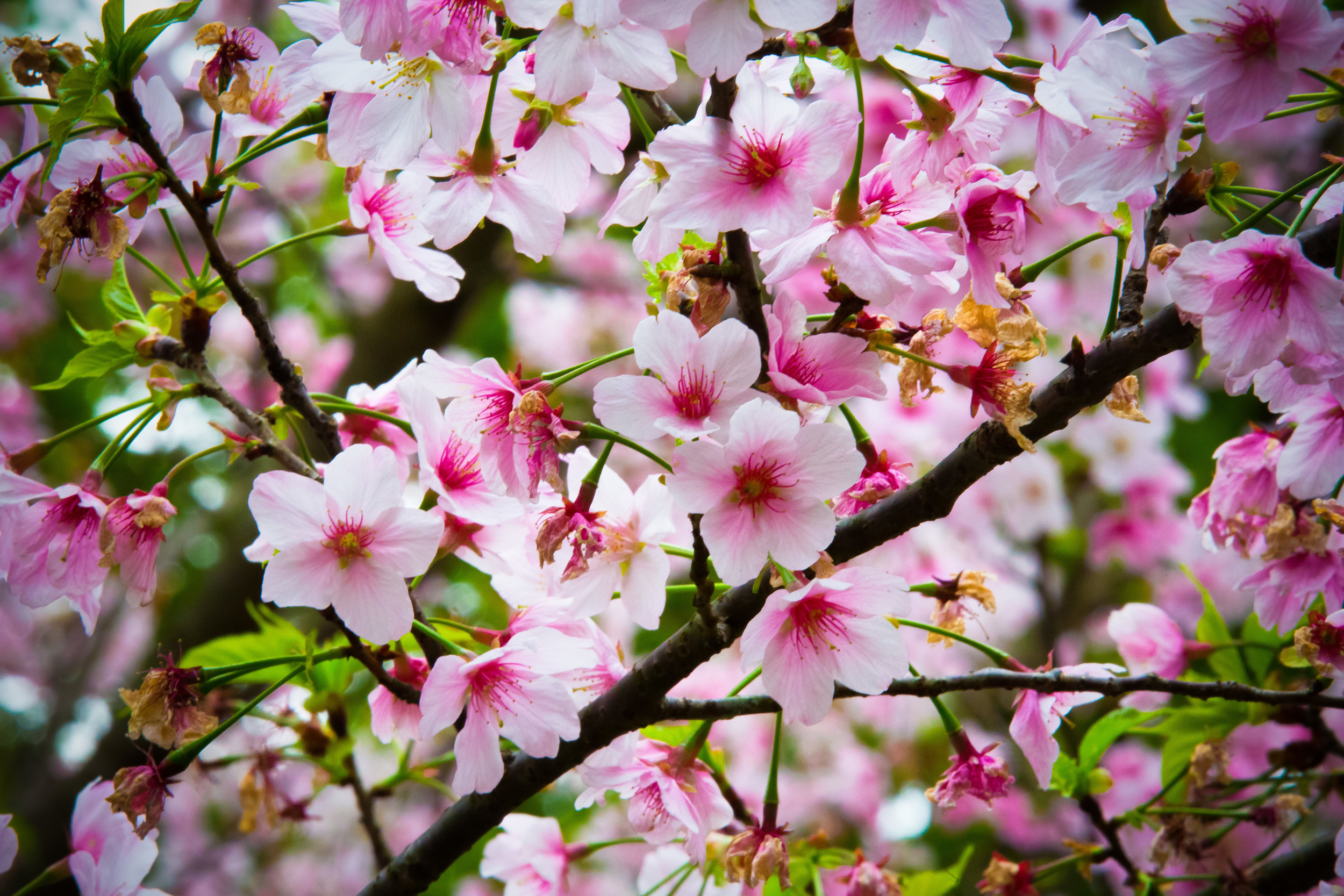
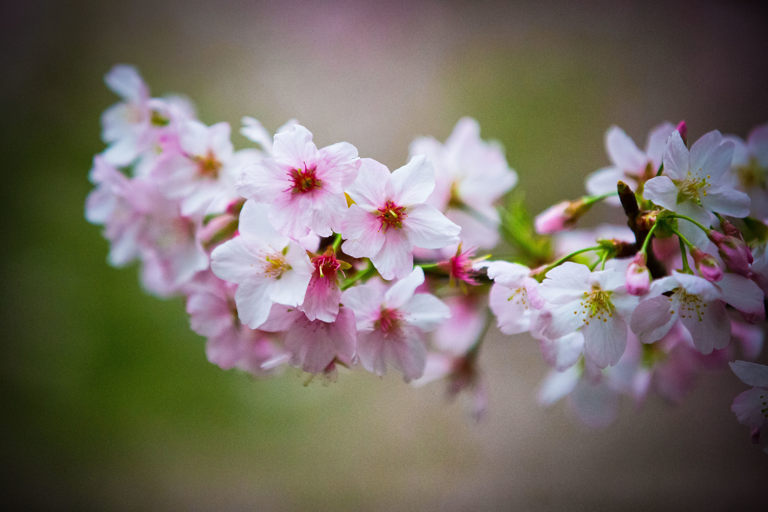
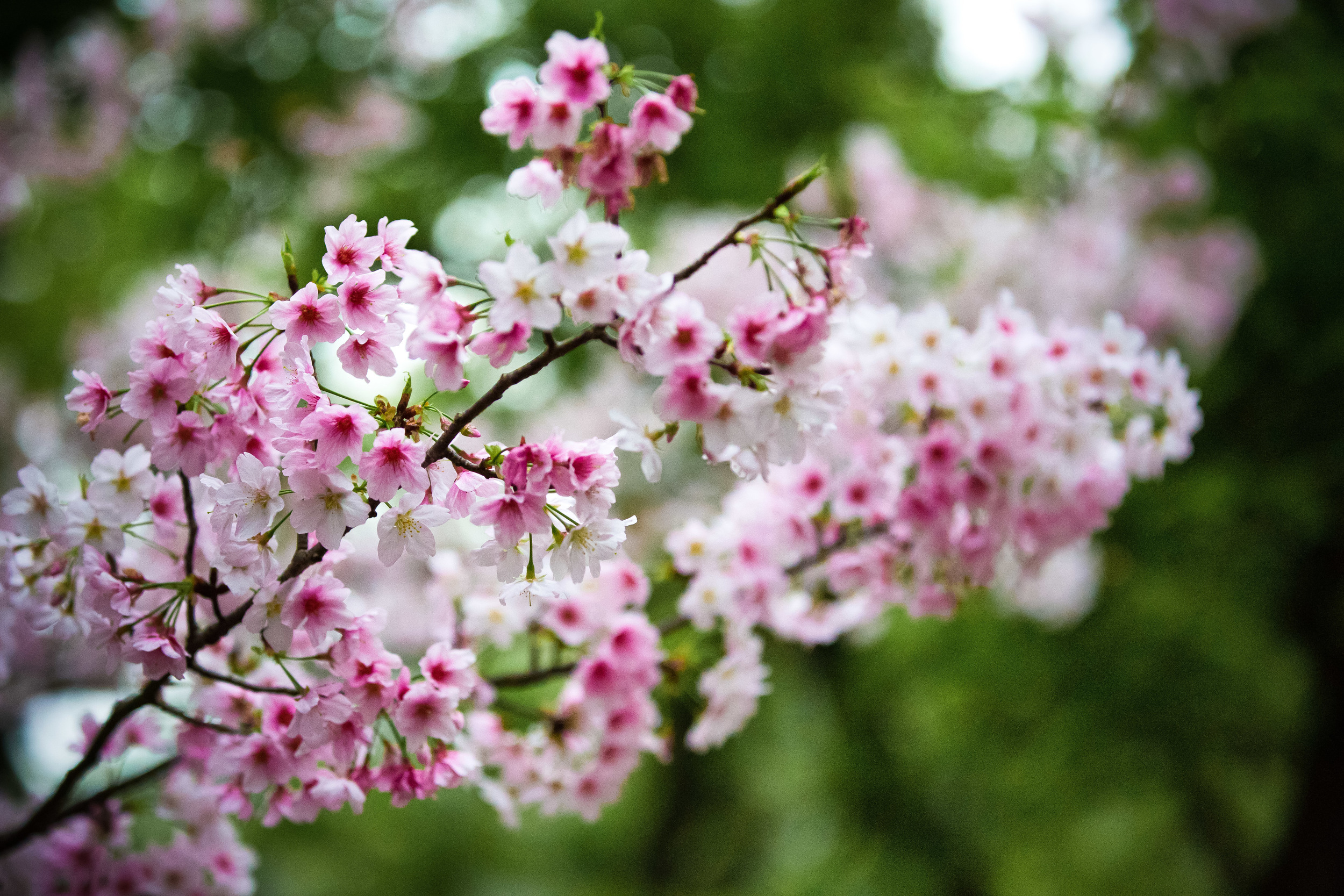
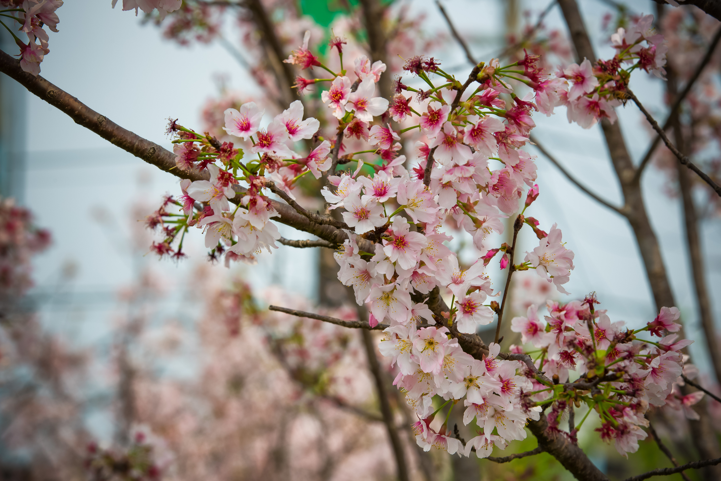
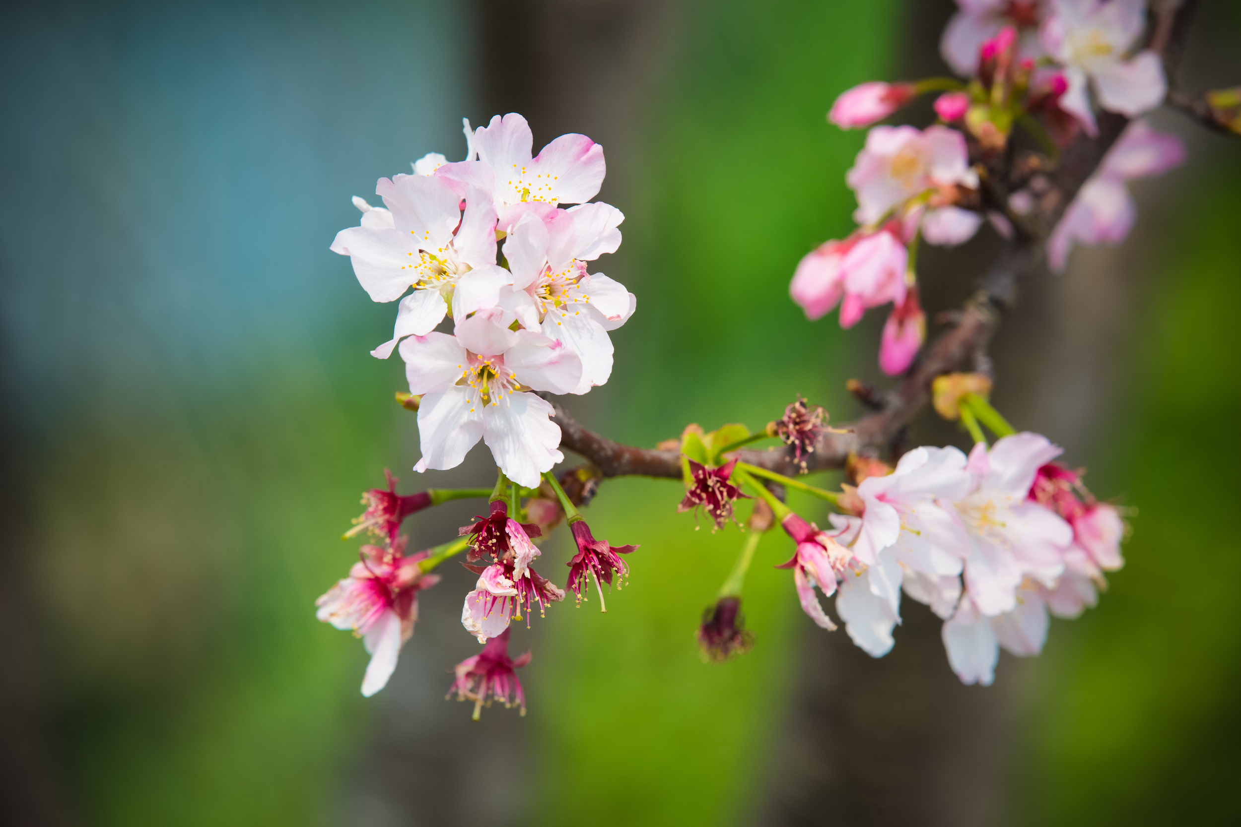
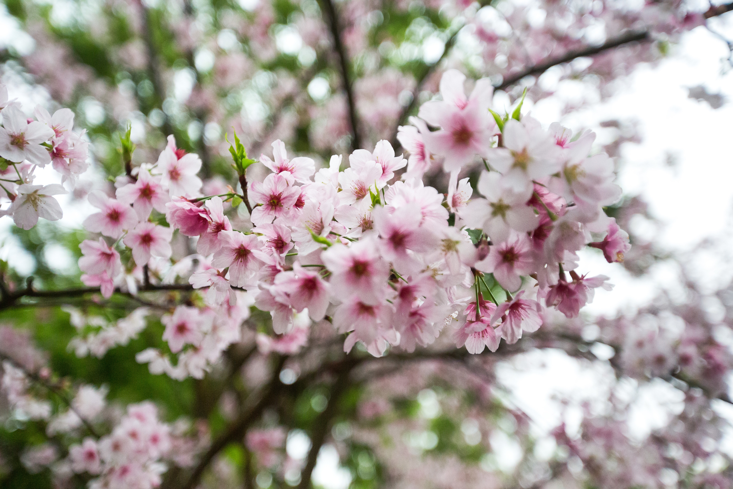
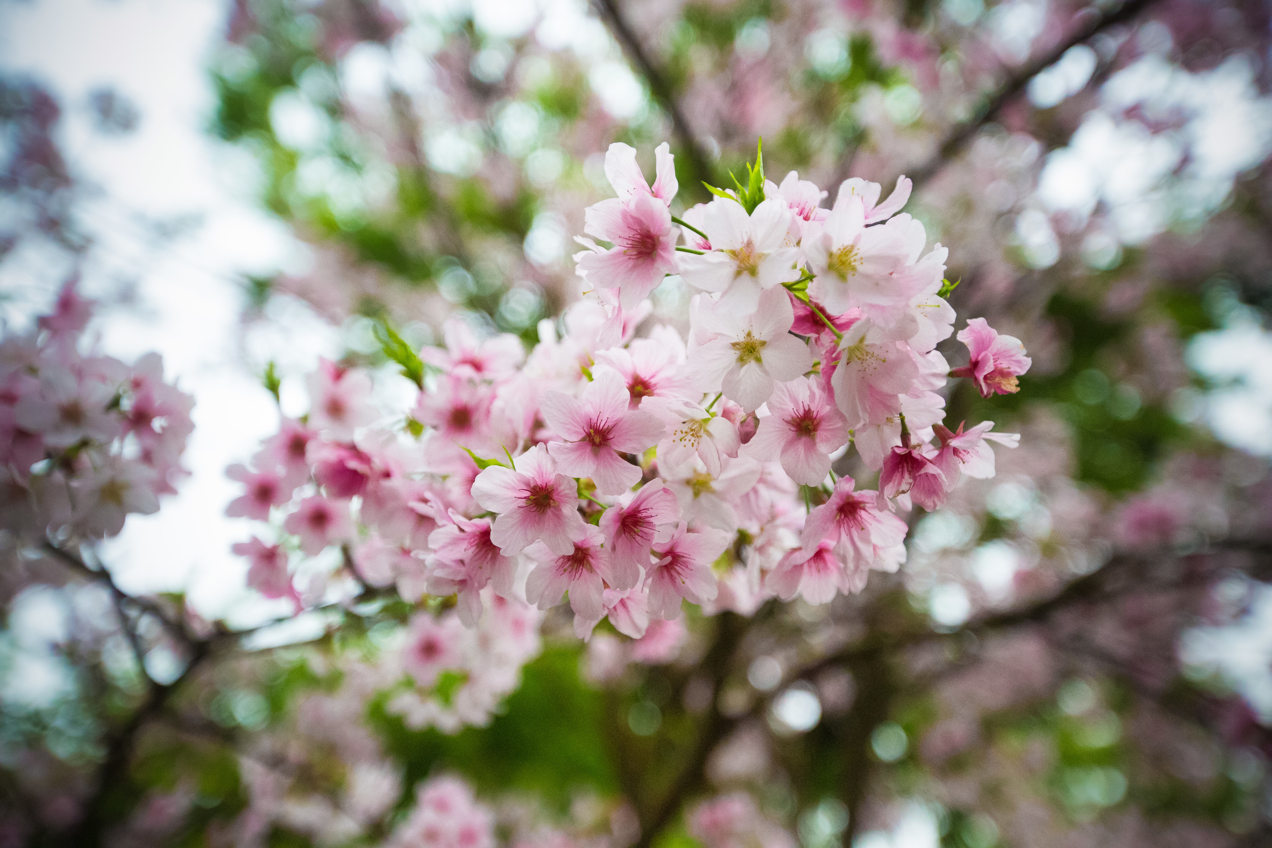
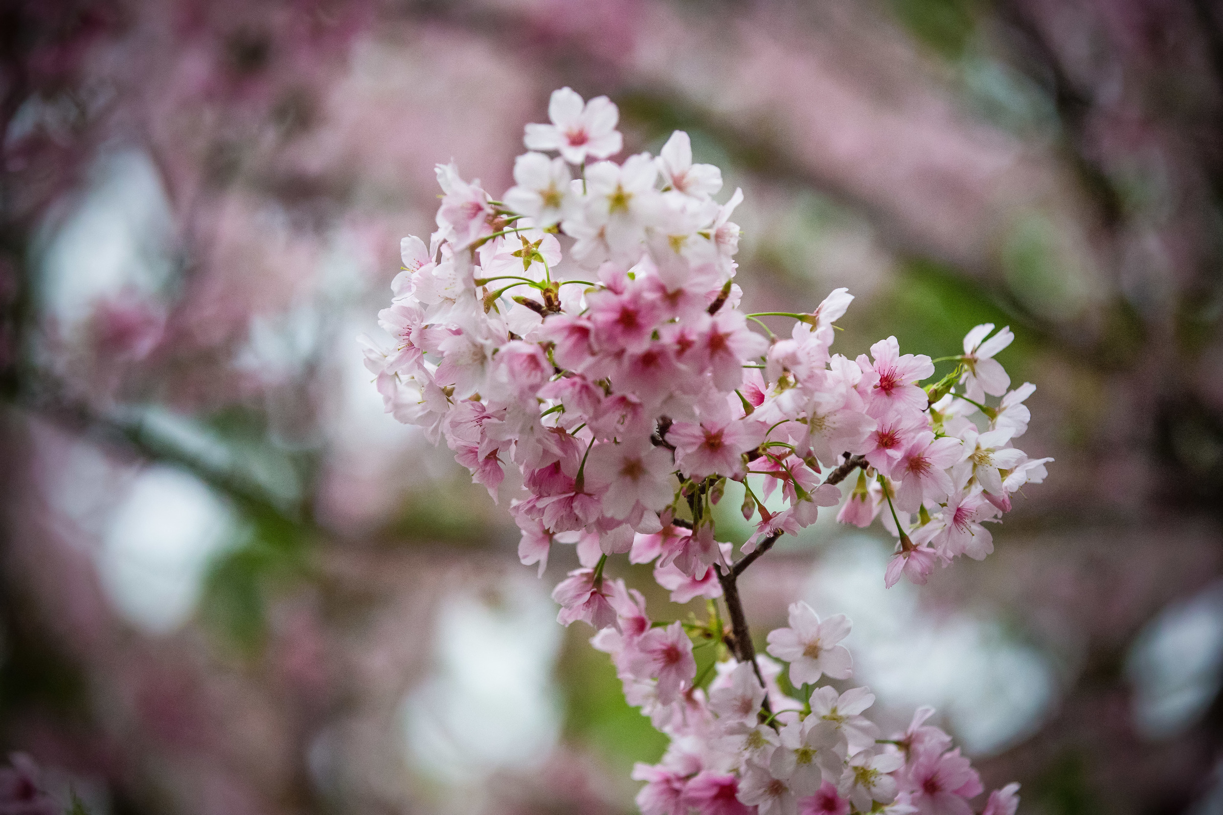
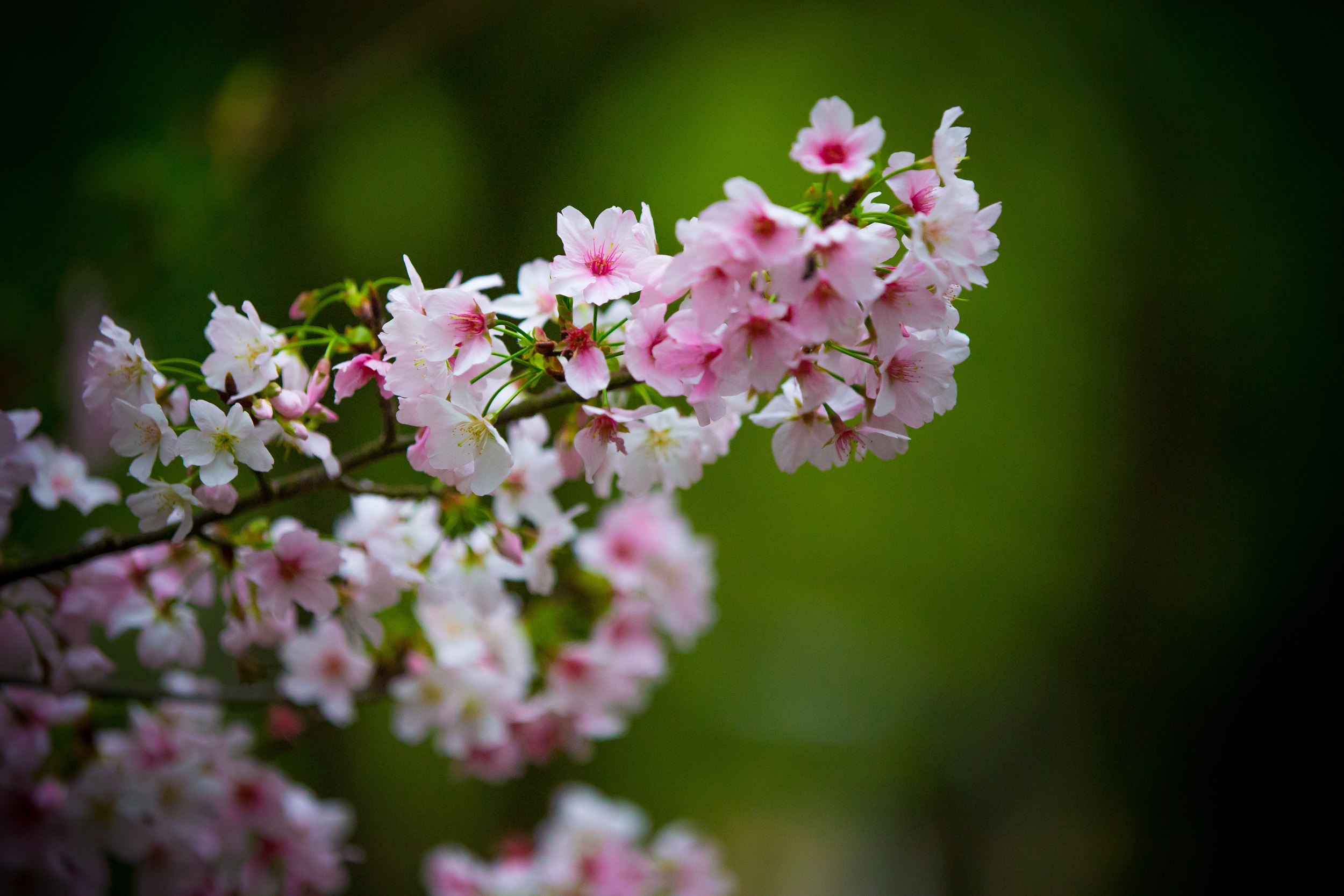
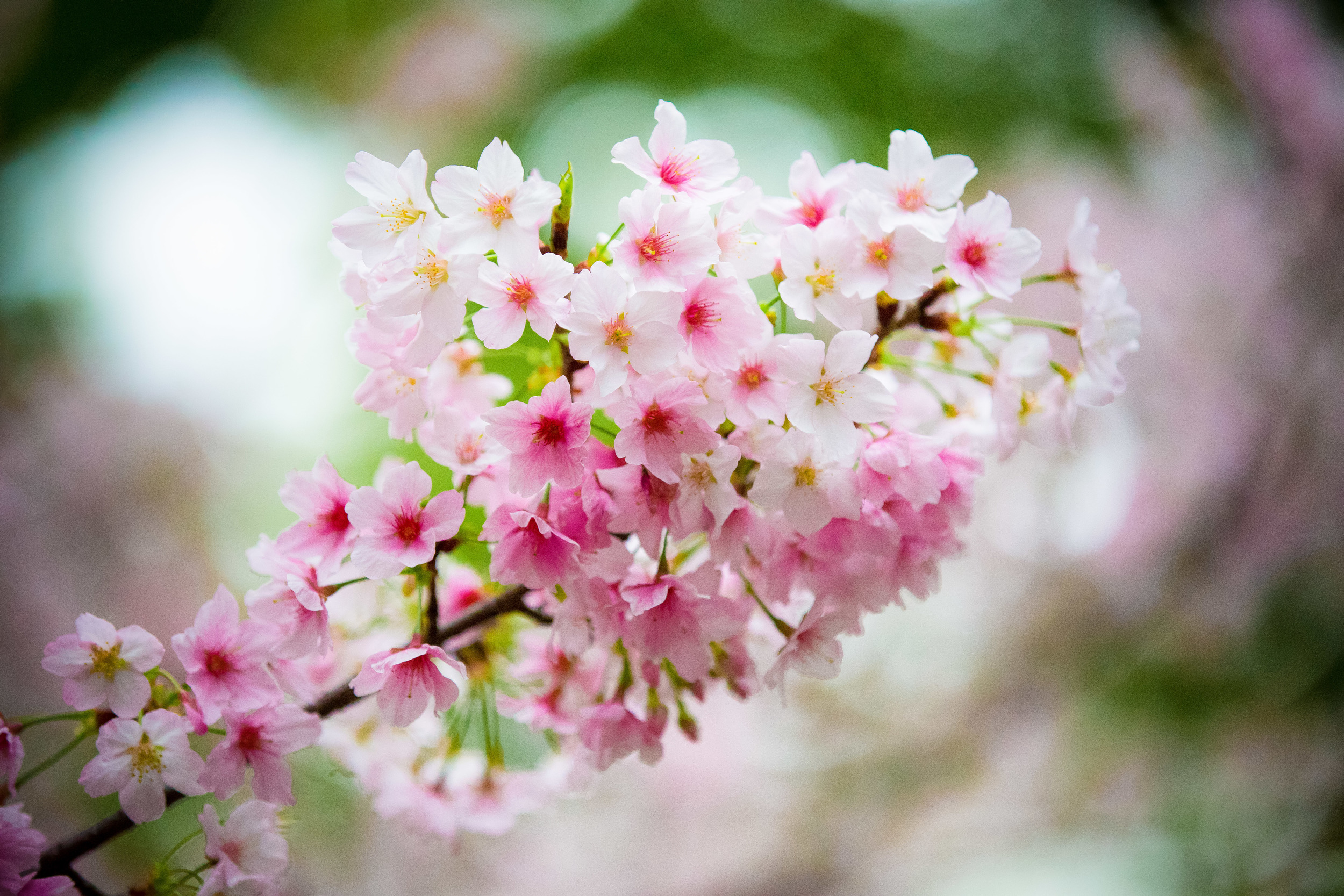
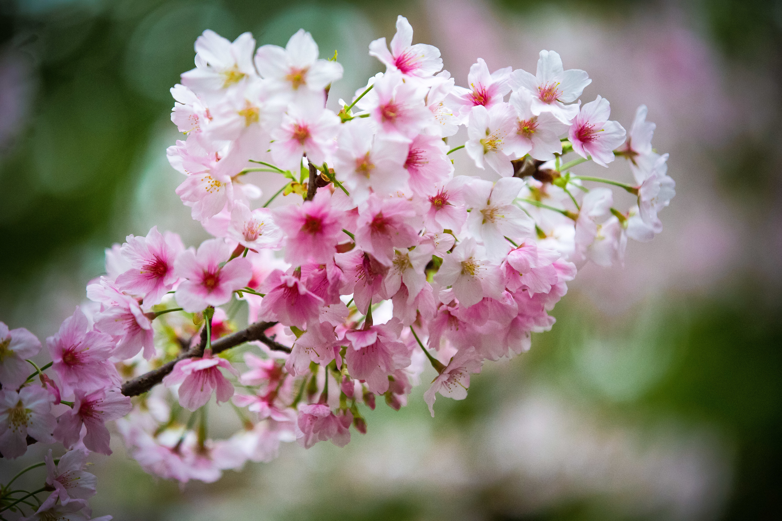
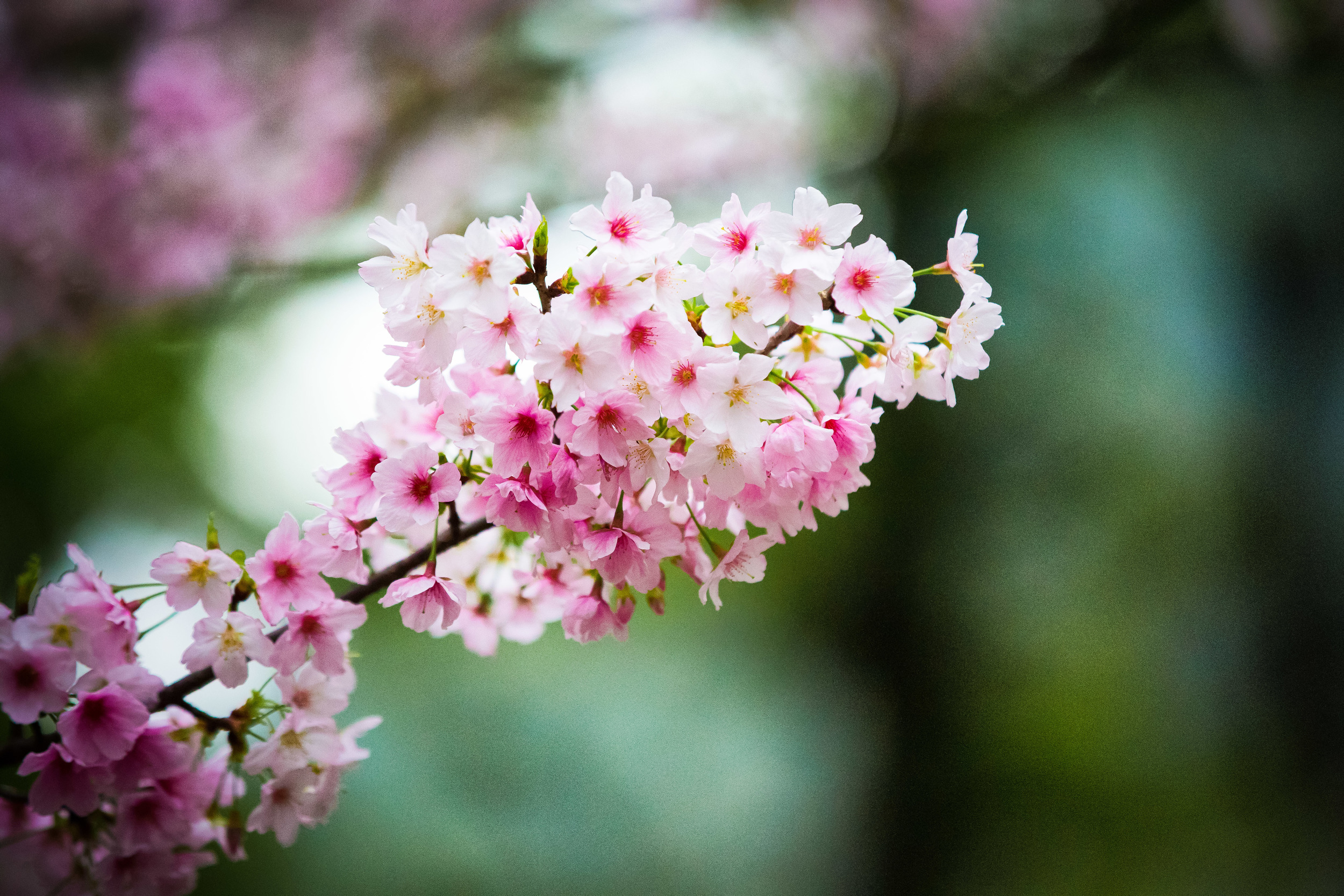
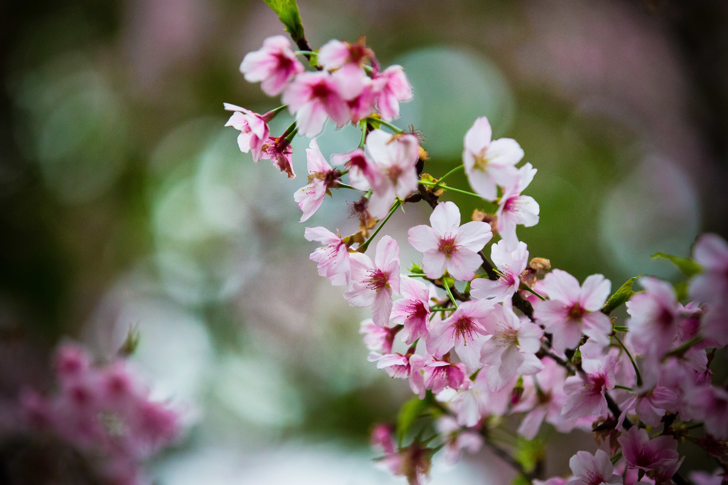
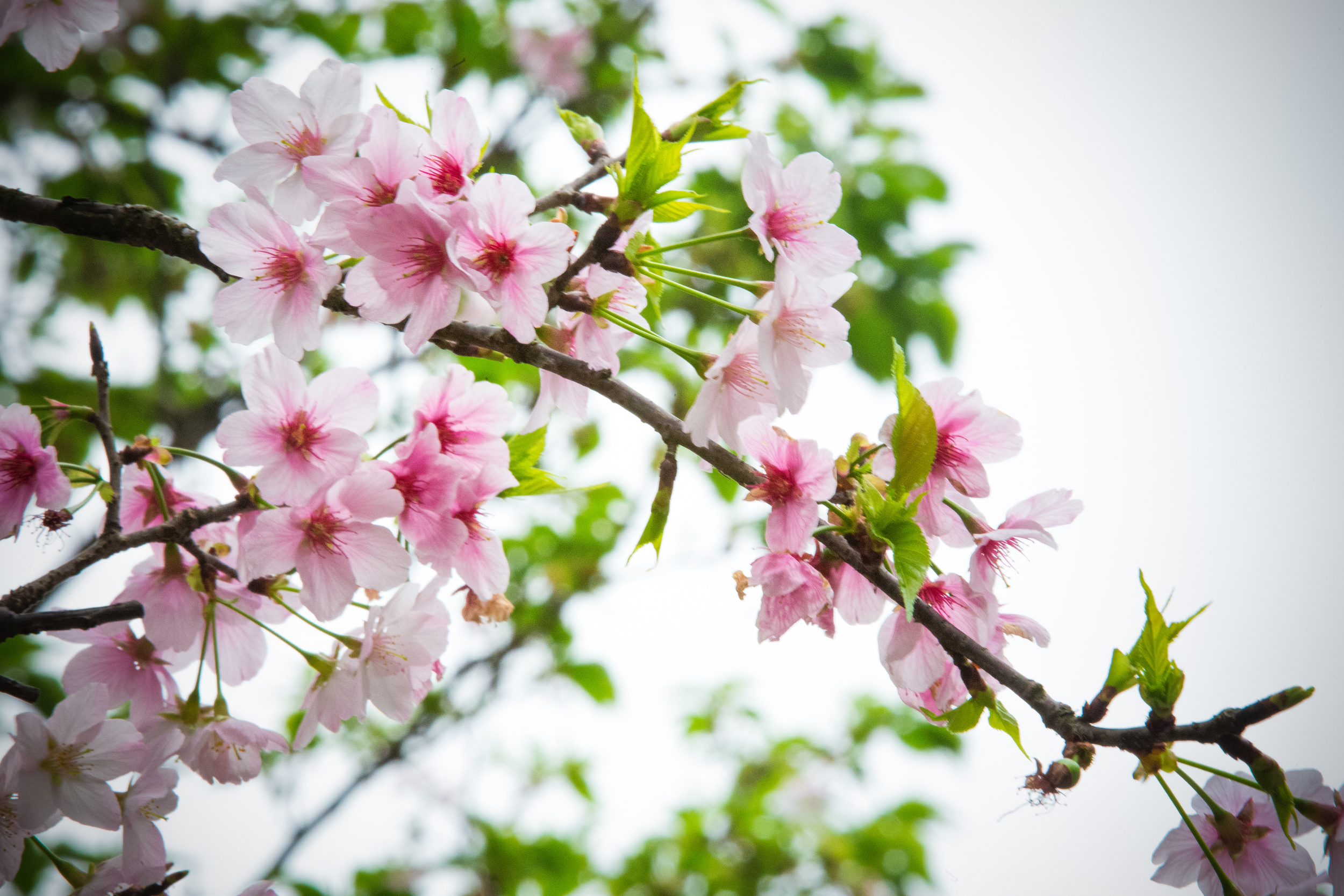
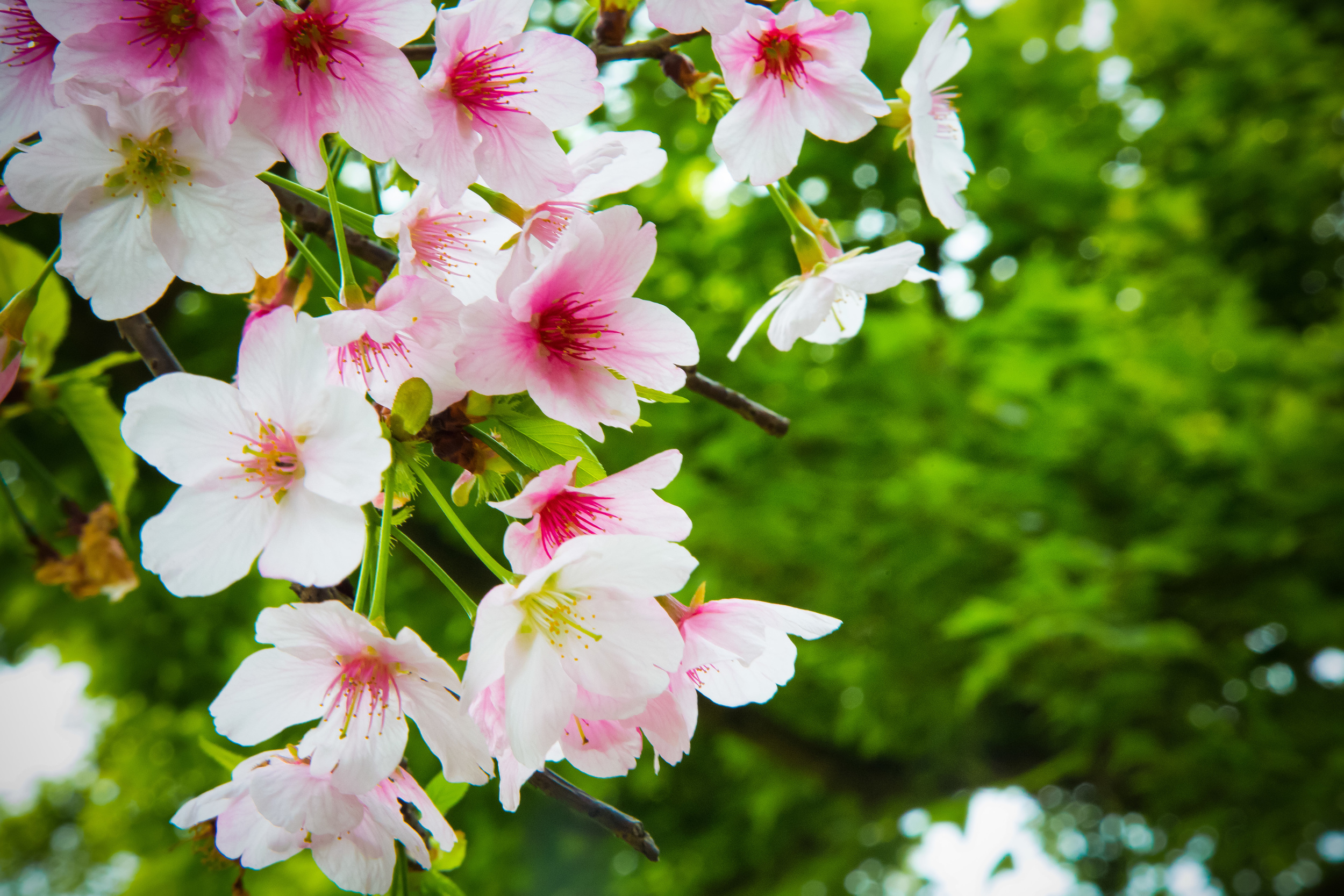
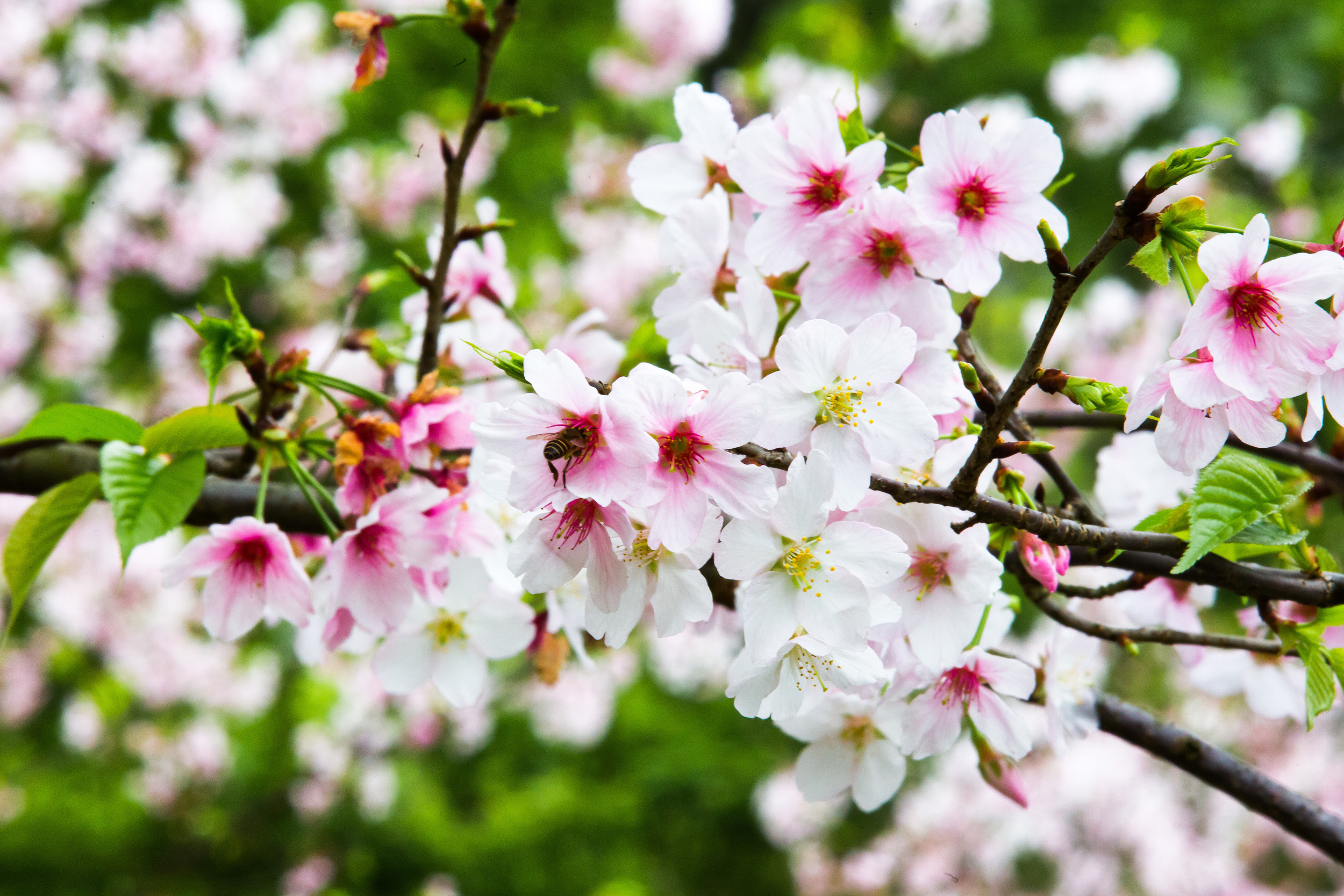
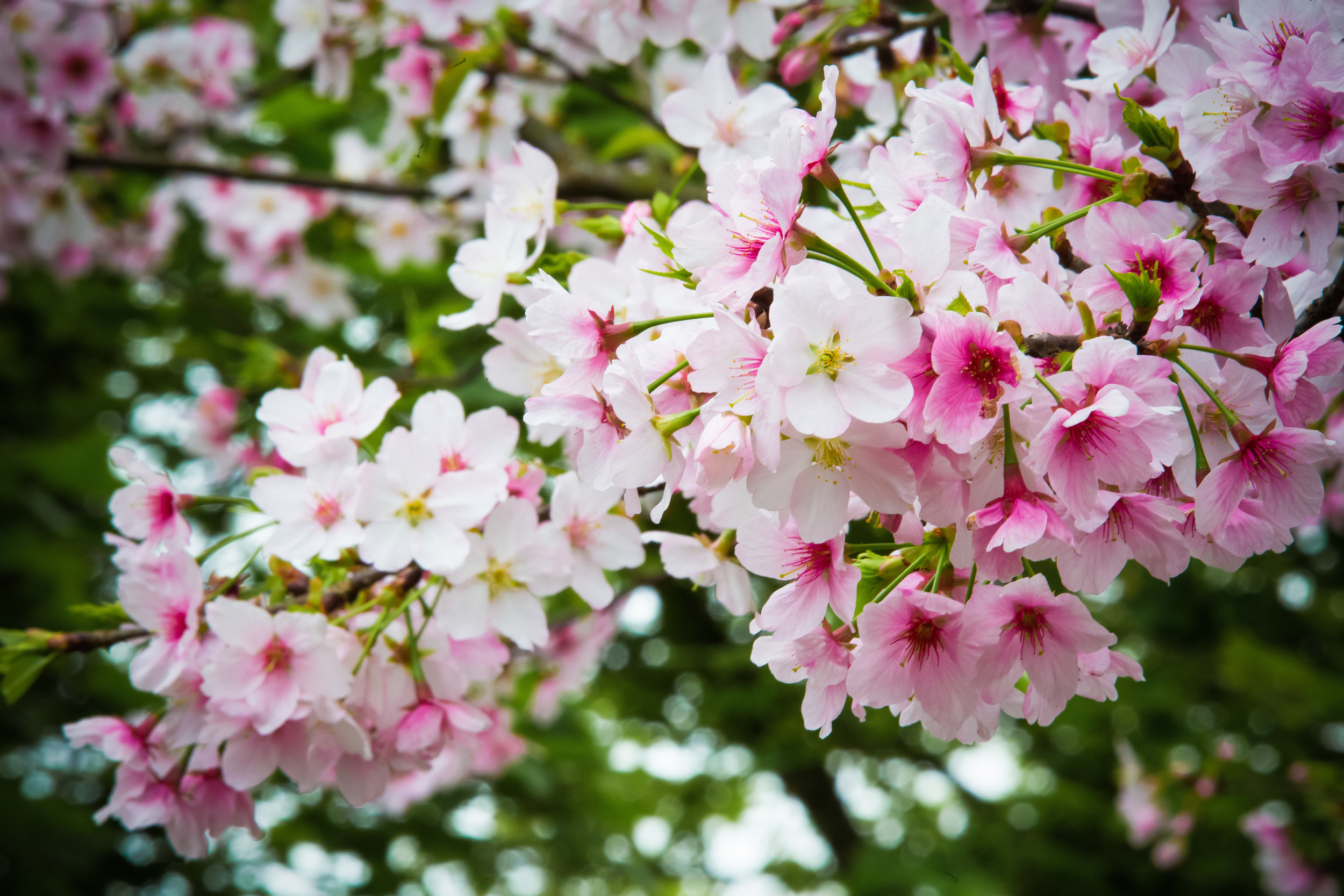
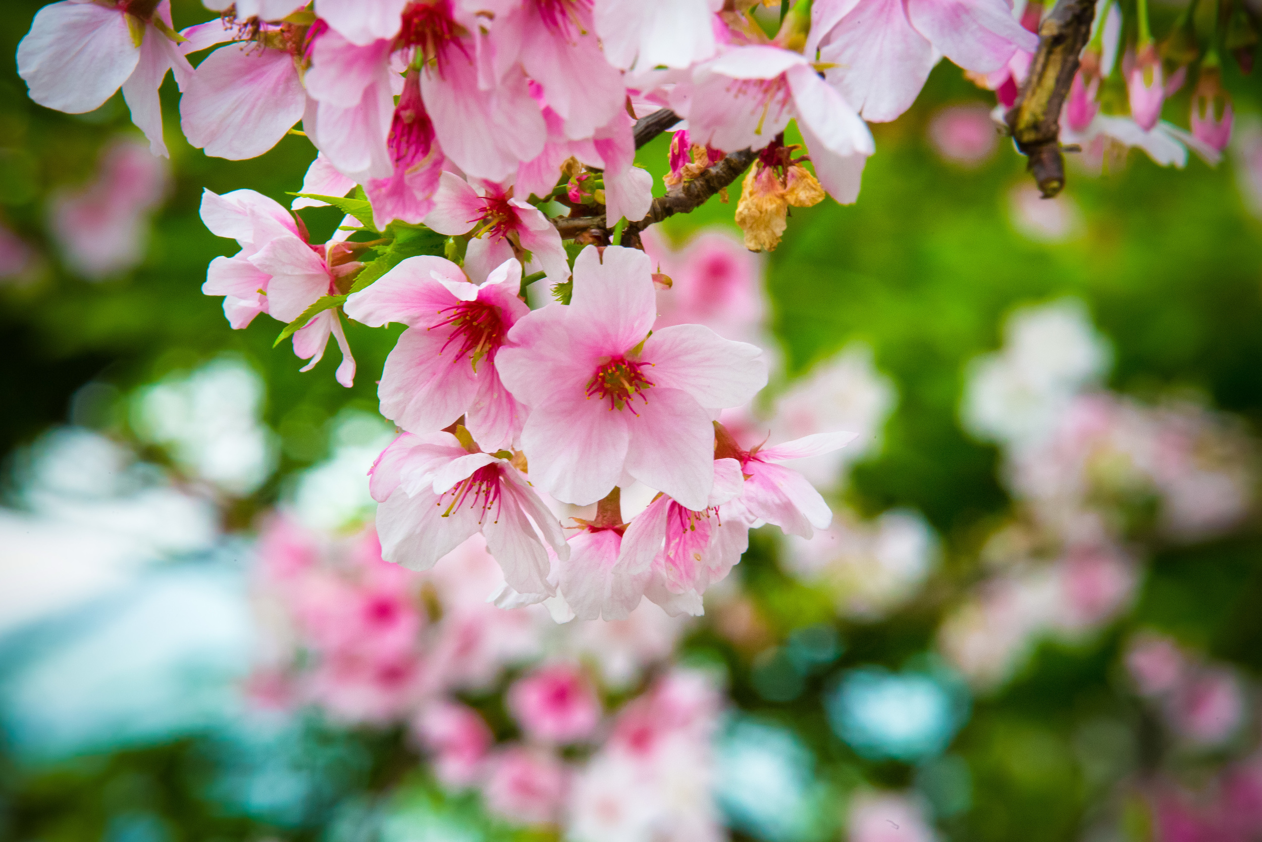
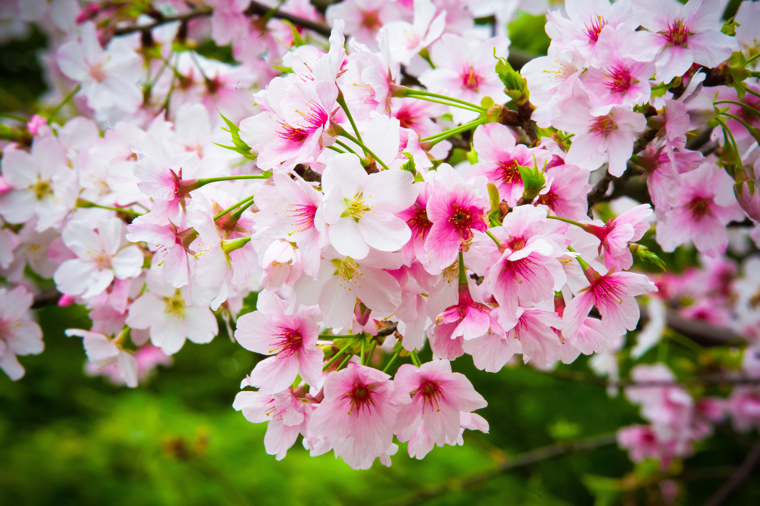
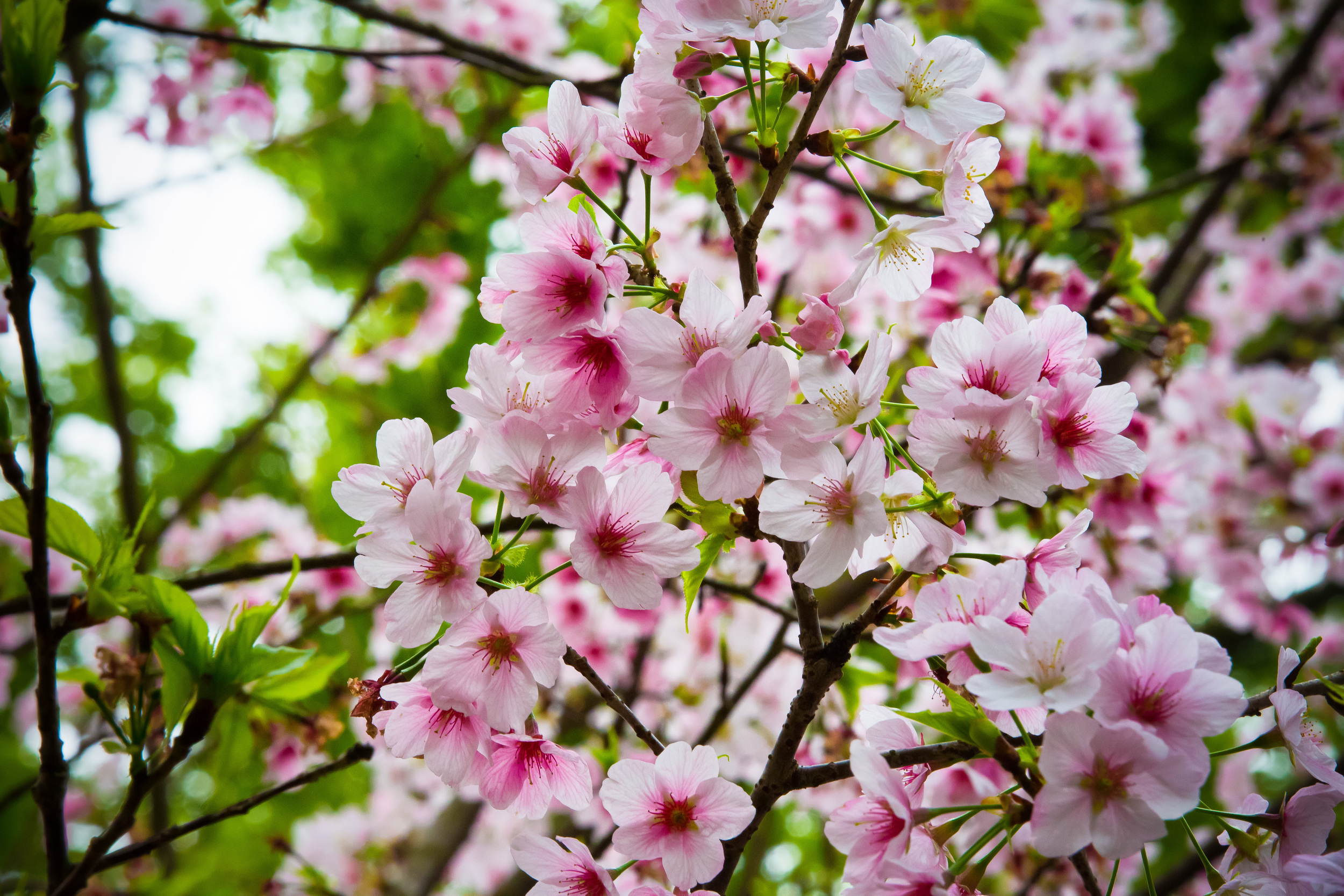
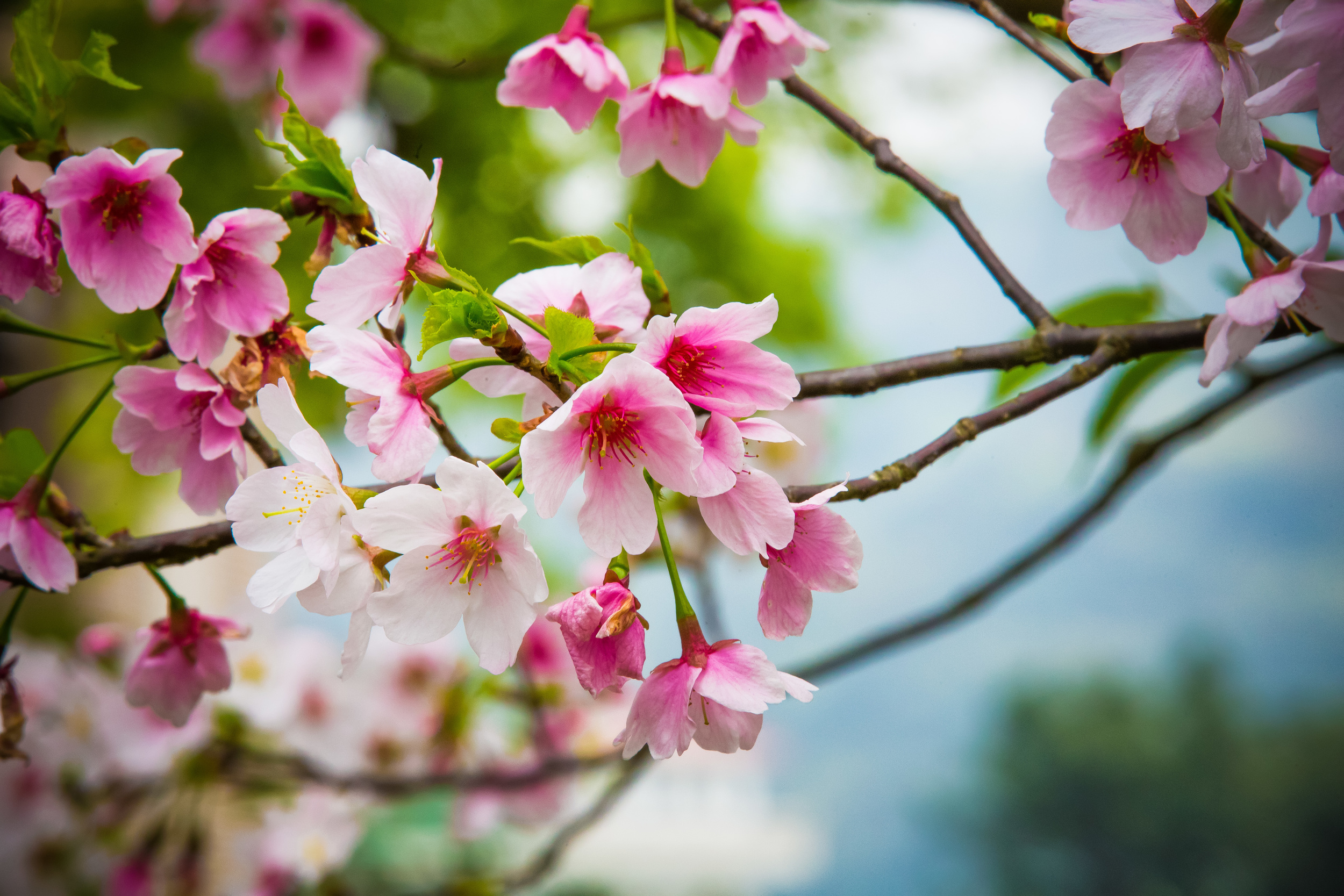
Cherry Blossom Season (櫻花季) - February - April (2月 - 4月)
Calla Lily Season (海芋季) - February - May (2月~5月下旬)
Hydrangea Season (繡球花) - May - June (5月中旬~6月下旬)
Silver Grass Season (芒草季) - October - November (10月-11月)
Just for reference, almost all of the photos in this blog post were taken during Silver Grass Season.
The Yangmingshan National Park also holds an annual “Yangmingshan Flower Festival” (陽明山花季) which is generally held for a period of two weeks in mid-February and usually coincides with the Lunar New Year holiday. If you plan on hiking the mountain at this time, good luck!
Trailheads
As I mentioned above, there are three different trailheads for hiking Qixing Mountain for you to choose from, each of which comes with some pros and cons. I’m going to introduce each of the them below and try to give you a better idea of what to expect.
Xiaoyoukeng - Qixing Main Peak (小油坑 - 七星山主峰) 1.6km
If you’re taking the bus, the first trailhead you’re going to reach is the one that starts directly next to the ‘Xiaoyoukeng’ bus stop, which is situated next to the ‘Xiaoyoukeng Visitor Centre’ (小油坑旅遊服務站). As you approach the stop you’re likely to notice quite a bit of mist in the air - this is because ‘Xiaoyoukeng’ is actually a giant steaming fumarole in the side of the mountain.
If you’re getting off the bus here, I’d recommend taking a few minutes to go check out the fumarole viewing area, which is a short distance away from the trailhead.
The Xiaoyoukeng portion of the trail has the added bonus of being able to walk past much smaller steaming fumaroles throughout the hike, which makes this something you won’t want to miss. The thing is though, you need to be really careful not to get too close to them and pay attention to the warning signs.
I completely understand that your brain might be telling you that you should touch one of the steaming rocks to see if they’re really hot, but believe me, they are.
You don’t want to burn yourself and ruin your day, so enjoy their geothermal beauty while staying safe.
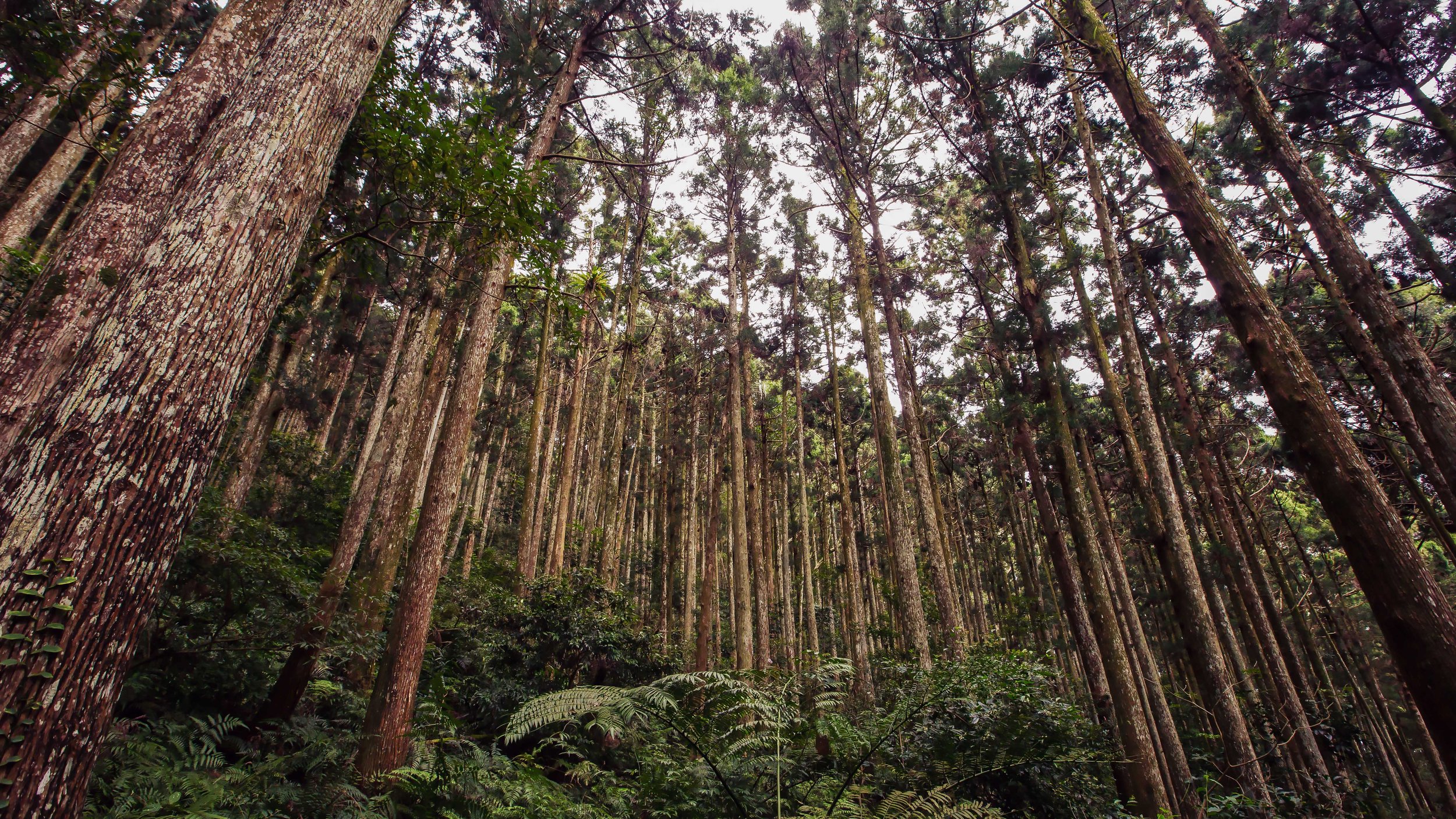
One of the reasons I like this trail so much is that as you hike to the top the environment changes and when it does, so do the varieties of trees and plants that you encounter along the trail.
You’re also likely to run into a completely ambivalent local species of partridge feeding along the trail.
The trail from Xiaoyoukeng to the peak of Qixing Mountain is by far the shortest of all the trails, but that doesn’t necessarily mean that it is a good thing. The trail is actually a lot more steeper than the other two trails, so if you hike to the peak on this trailhead, you’re likely to get a bit more of a work out.
Whether that is a pro or a con is up to you - What I will say though is that the trail is often shrouded in mist from the fumarole and even though there are places to stop and check out the view, you’ll have to be pretty lucky to be able to see much of anything.
If hiking directly the peak is your thing though, this trail is probably your quickest, no-nonsense route.
Lengshuikeng - Qixing Main Peak (冷水坑 - 七星山主峰) 2.1km
‘Lengshuikeng’, despite its literal name “Cold Water Valley” (冷水坑), is home to popular hot spring baths where you can bathe in the public pools at a high elevation. Even though the baths tend to be quite popular on weekends, they aren’t nearly as busy as what you’d find in Beitou, so the people who visit get to enjoy their time in relative seclusion.
And the general embarrassment of a public bath.
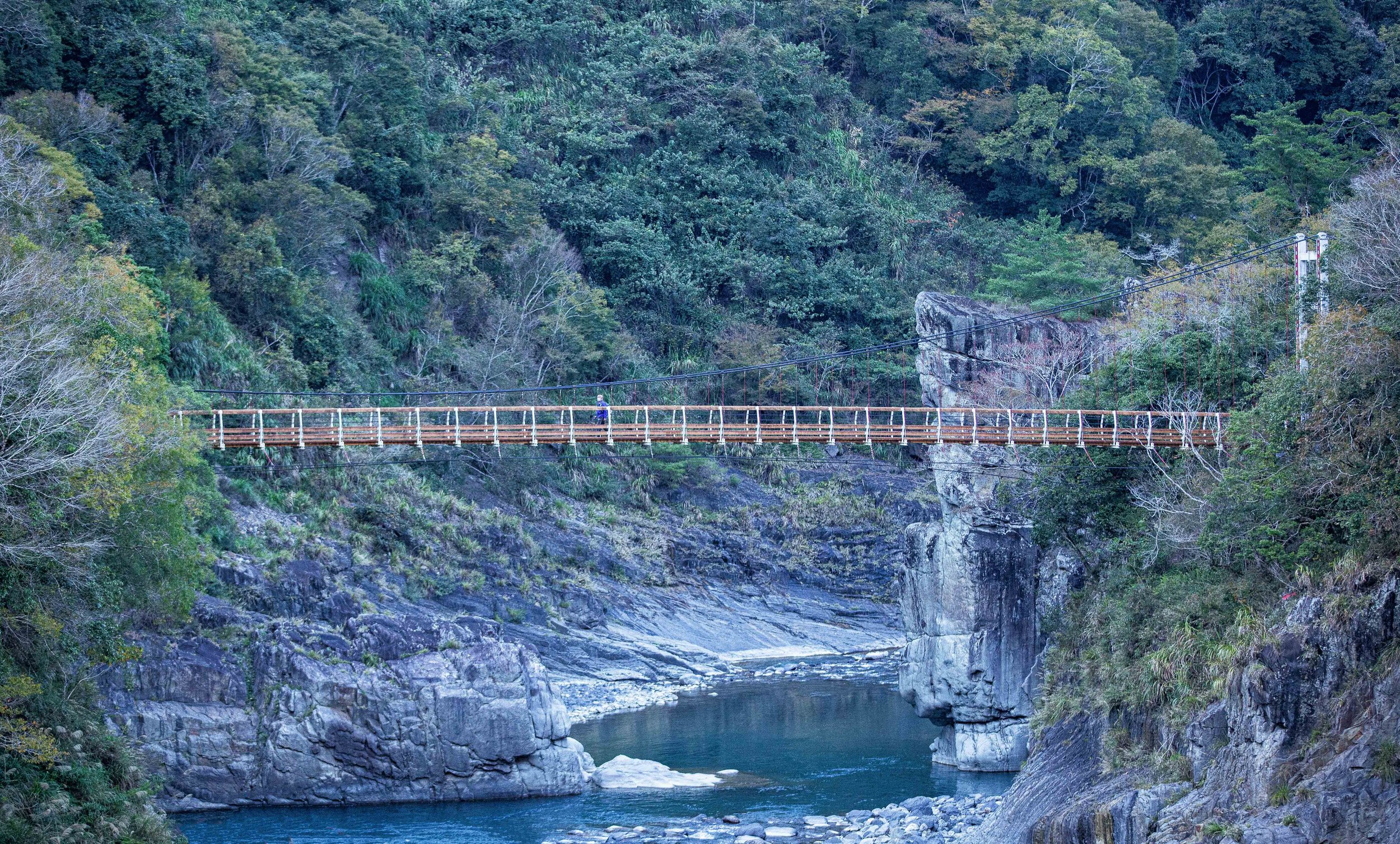
The area is home to not only the hot springs and the trailhead for Qixing Mountain but also a historic suspension bridge, Milk Lake (牛奶湖), a waterfall and a path that brings you to the popular Qingtiangang Recreation Area (擎天崗).
For the purpose of this blog though, the important thing is that the area is home to the trailhead for Qixing Mountain (of which there are more than one), a bus stop, a large parking lot for cars and scooters and a visitors centre with (rather nice) public washrooms.
The main trailhead is conveniently located directly across from the parking lot and is easy to find as it is marked by not only a trailhead marker, but also has large sign with a map of the trail and some information about the hike.
The hike on this trail starts out rather steep, but after a few minutes of hiking you’ll reach a point where the incline is much more comfortable and you’ll be able to enjoy the amazing views behind you. When you’re about halfway up the hill, you’ll reach a large Chinese-style pavilion where you can rest or take photos.
A short distance from there you’ll find the Qixing Mountain Park (七星山公園) in one direction and the ‘Meng Huan’ Lake (夢幻湖) in the other. The lake is quite beautiful, so you might want to take a detour for a few minutes to check it out.
The park likewise is a popular spot for taking night photos of the Taipei cityscape, so if you plan on sticking around to take photos, this spot is probably a good place to park your tripod.
Once you pass this area, the incline once again becomes a bit steep and after a bit of time you’ll reach the Eastern Peak (七星山東峰) where you can stop for a break.
Once there though, you’re only about 10-20 minutes away from the Main Peak (七星山主峰).
If you’re looking for recommendations, I’d highly recommend you start your hike at ‘Lengshuikeng’.
This might mean taking the bus much further, but it also means that you’ll get to enjoy some really beautiful scenery with an ample amount of spots to stop and take some really pretty photos.
Likewise, if you aren’t planning on backtracking, it would be much easier to complete the ‘full circuit’ hike (which I’ll talk about below) so that you can enjoy both sides and easily hop on the bus at ‘Xiaoyoukeng’ when you’re done.
Miaopu Trail - Qixing Main Peak (苗圃登山口 - 七星主峰) 2.4km
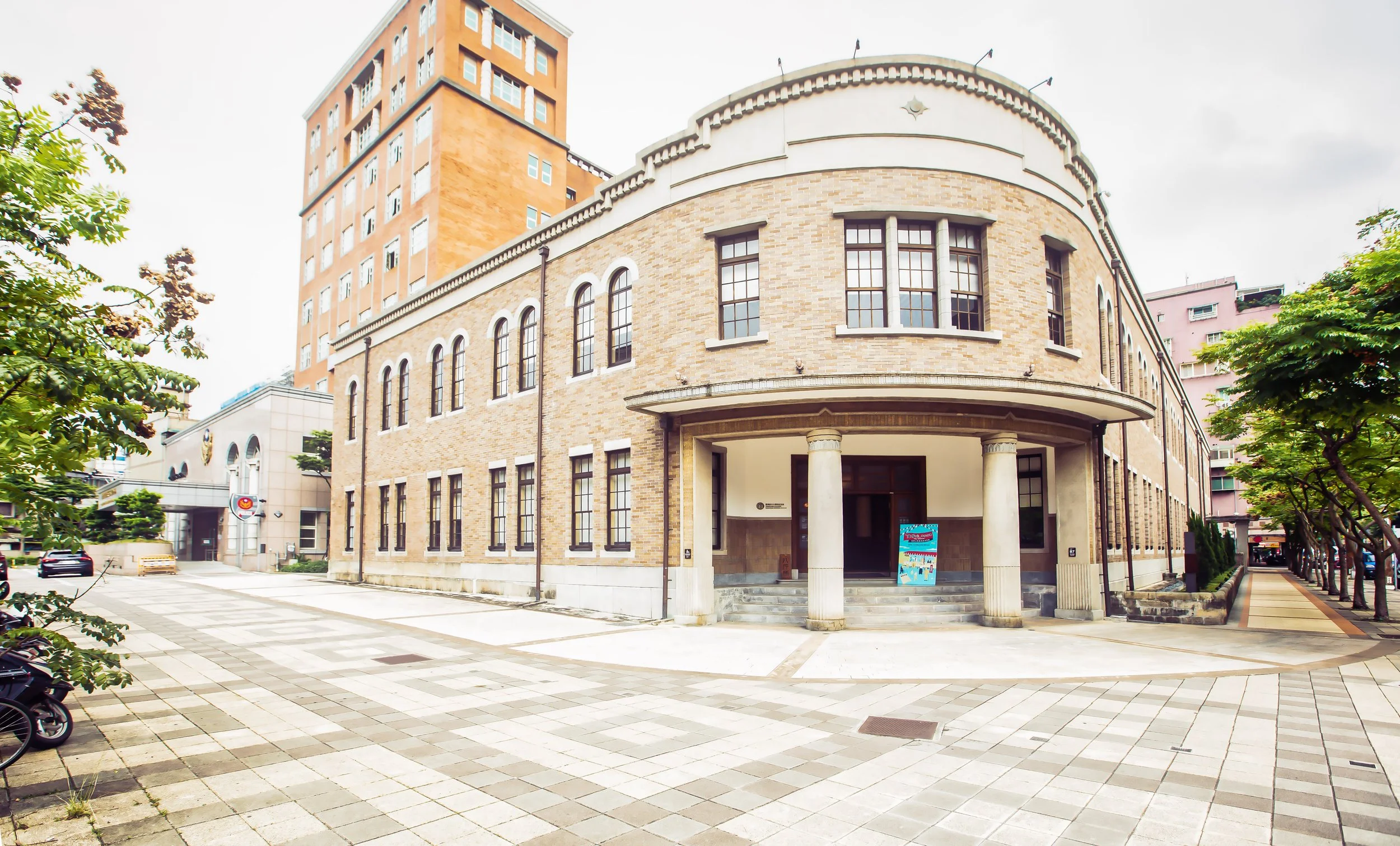
For most tourists, it seems like the most commonly taken route for hiking Qixing Mountain is to start the hike at the Miaopu Trailhead (苗圃登山口). The trail is a short distance from the Yangmingshan Bus Terminal and situated directly next to the Yangmingshan National Park Visitor Centre (陽明山國家公園遊客中心).
This means that if you start your hike from this route, you eliminate the need to take the shuttle bus from the bus terminal to the other trailheads and you won’t have to wait for the shuttle bus when you complete the hike.
Sounds great, right?
It should go without saying that if you take this route to the peak and back down, that you’re going to be hiking for a distance of around five kilometres - which is a much longer than the other trails.
You’re also going to miss out on some of the best vantage points with regard to scenery as well as missing the steaming fumaroles at ‘Xiaoyoukeng’ and the hot spring bath area at ‘Lengshuikeng’ as this trail more or less creates a “T” between the other trails.
The great thing about this route is that for most of the hike, you are protected under the cover of trees, so if it is an excruciatingly hot day, or if it is raining, you’ll be able to complete most of the hike with a bit of protection from the elements.
This trail though is most popular with foreign tourists (as a lot of people don’t know how to get to the other trailheads) so you’re likely to come across quite a bit of tourists along the trail.
If you’re not new to Taiwan and you’ve hiked the mountain before, I’d say that this route is probably a pretty good one if you just want to hike to the peak without the fuss of dealing with buses, traffic or any of the scenic photo spots on the other trails. For me though, hiking a mountain is never a race to the top and I would hate to go all the way to Yangmingshan and miss out on the opportunity for taking photos.
Qixing Mountain Circuit (小油坑 - 冷水坑) 3.7km
While some people might prefer hiking to the peak of the mountain from one of the trailheads and then heading back the way they came, I’d actually suggest that you instead complete the entire hike from one side to the other rather than backtracking.
If completing the entire hike sounds better to you, take it from me, you should hop on the shuttle bus from the Yangmingshan Bus Terminal and take it all the way to the ‘Lengshuikeng’ bus stop.
From there you’ll hike to the peak of the mountain and once you’re done you can complete your hike by heading down the mountain toward ‘Xiaoyoukeng’.
The reason why I suggest taking this route is because it is considerably easier getting on the bus at ‘Xiaoyoukeng’ than it is at ‘Lengshuikeng’ which often has long lines.
I also don’t mention the Miaopu trailhead here because that specific trail takes you up the mountain in a different direction and means that you’ll miss out on some of the best scenery.
I know, it might seem like completing the full circuit sounds longer in terms of the amount of time and the distance you’ll travel, but if you do the math, it is more or less going to be the same and you’ll get to experience the mountain from both sides.
So completing the entire circuit is probably your best option and is what I recommend.
Getting There
Hiking Qixing Mountain might be a challenge for some, but getting there is a challenge for almost everyone.
The thing about hiking Qixing Mountain is that you first have to deal with the notoriously horrid traffic on Yangming Mountain - Whether it’s going up the mountain or heading down after your hike, you’re unfortunately going to get stuck in traffic. This is part of the reason why I don’t hike the mountain as often as I’d like.
So, let’s discuss some of the best ways to get to the mountain.
The first thing you’re going to have to decide is what your hike is going to entail - Are you going to hike the full circuit? Or are you going to hike from one of the trailheads to the peak and then leave the way you came? These are important questions to ask yourself, because it is going to dictate the method by which you get yourself to the trailhead.
If you live in Taipei and own a scooter, or have rented one for the duration of your visit, you can easily ride your scooter up Yangming Mountain to either one of the trailheads, park it and then be on your way. The thing is though, if you park it at one of the trailheads, you’re going to have to come back down the way you came, which means that you’ll probably not be able to hike the whole trail.
There is of course the possibility of hiking the full trail and then when when you arrive at the trailhead taking a bus to where you parked your scooter, but that might end up forcing you to wait quite a while.
Likewise, if you have a car, you could drive to either Xiaoyoukeng (小油坑) or Lengshuikeng (冷水坑) and park in one of the public parking spots. The thing about this option though is that the standard Taipei parking fees apply, so if you park in either of the parking spots for several hours, you’re going to have to pay quite a bit.
You might also think that you could just park along the side of the road and avoid the fees, but I guarantee if you do, your car won’t be there when you finish your hike.
You’re also going to have to deal with terrible traffic jams on the way down as the traffic congestion on the mountain in the late afternoon is terrible.
Scooters are okay, but I’d really caution against driving a car.
If you’re asking me, I think your best option is to just take public transportation.
Sure, it might be a bit more of a pain in the ass, but you’ll be happier to not have to deal with all the traffic, you’ll have the option of completing the full hike and it will be a lot cheaper.
If you’re going to make use of public transportation, you have a number of options:
Taipei Main Station (台北車站) - Yangmingshan Station (陽明山站) - You can catch Bus #260 at Taipei Main Station’s “North 2” (北二門) exit. The bus will take you to the Yangmingshan bus transfer station where you’ll transfer to Bus #108 which will take you to both trailheads.
Jiantan MRT Station (劍潭捷運站) - Yangmingshan Station (陽明山站) - From the bus terminal just outside of the MRT station take Bus Red #5 (紅5) to the Yangmingshan bus transfer station where you’ll transfer to Bus #108 which will take you to the trailheads. Conveniently, a new route (S15/小15) has been added that takes you directly from Jiantian to Qingtiangang. If you prefer to start the hike from there, this one is pretty convenient
Shipai MRT Station (石牌捷運站) - Yangmingshan Station (陽明山站) - From the bus terminal just outside the MRT station take Bus #8 (小8) to the Yangmingshan bus transfer station where you’ll transfer to Bus #108 which will take you to the trailheads.
Beitou MRT Station (北投捷運站) - Yangmingshan Station (陽明山站) from the bus terminal just outside the MRT station take either Bus #9 (小9) or Bus #230 to the Yangmingshan bus transfer station where you’ll transfer to Bus #108 which will take you to the trailheads.
Donghu MRT Station (東湖捷運站) - Yangmingshan Station (陽明山站) from the bus terminal just outside the MRT station take Bus #681 to the Yangmingshan bus transfer station where you’ll transfer to Bus #108 which will take you to the trailheads.
You’ll probably have noticed that no matter which option you take, you’re going to have to transfer at the Yangmingshan Bus Terminal (陽明山公車站) and then hop on the #108 shuttle bus to whichever trailhead you plan on starting at.
One thing that you’re going to want to keep in mind is that there are two bus #108’s and that if you get on the wrong one, you’re not going to get to any of the trailheads. So, to ensure that you get on the correct bus, make sure you get on Bus #108 (陽明山遊園公車) and not “Bus #108區” which takes you to Erziping (二子坪).
They have adequate signage on the bus that should prevent you from making the mistake, but it’s best to remind you anyway.
One of the most important things to keep in mind is that Bus #108 runs every 30-40 minutes on weekdays and every 20-30 minutes on weekends between the hours of 7:00am - 5:30pm.
This means that buses tend to be few and far between and if you spend too much time on the mountain, you might get stuck if you come down too late. Make sure to keep track of time and don’t expect that there is going to be room for you on the last bus of the day, especially on weekends when the trails are busier.
If you need real time info for the bus stops, check the Taipei eBus website for more information. You may also want to download the “台北等公車” smart phone app which uses GPS to let you map your route more easily.
If you decide to start your hike from the Miaopu Trailhead (苗圃登山口), you won’t have to transfer to Bus #108. You’ll instead just get off the bus at the Yangmingshan Bus Terminal, cross the road and make your way to the Yangmingshan National Park Visitor Centre (陽明山國家公園遊客中心) where you’ll find the trailhead nearby. Fortunately I don’t need to offer too much in terms of directions here as the directions to the visitor centre and the trailhead are very well marked for pedestrian traffic.
If you do decide to drive a scooter or a car, the addresses for both trailheads are below. You can input either the English or the Chinese into Google Maps or your GPS which will map the best route to the parking lots next to to the trailheads.
Lengshuikeng (冷水坑): No. 170, Lane 101, Jingshan Road, Shilin District, Taipei City (台北市士林區菁山路101巷170號)
Xiaoyoukeng (小油坑): No. 60, Zhuzihu Road, Beitou District, Taipei City. (台北市北投區竹子湖路69號)
As far as hiking goes, even though Qixing Mountain is Taipei’s highest peak, it tends to be one of the easier mountains in the city in terms of difficulty. You’re not going to have much trouble hiking this one, so feel free to bring your family, friends, dogs and cats along with you to enjoy the beautiful scenery and the experience.
As far as the scenery goes, if you’re lucky enough to be blessed with good weather and clear skies, you’re going to be rewarded with spectacular views of the mountainous landscapes as well as the Taipei cityscape on one side and the northern coast on the other.
That being said, weather conditions in the area tend to change quickly and the view is often obscured by the mist created by the thermal activity taking place on the mountain. So, you need to remember that even if you start this hike on a perfectly clear day, you may not end up being able to enjoy the hike as much as you’d like. If you do end up hiking on a day where there is a lot of mist, don’t feel too bad as I think there is a certain beauty on Taiwan’s mountains when they’re covered in mist and clouds.
I tend to look on the bright side and I think that even though the varying conditions on this mountain might disappoint some, it makes for a much more interesting experience. If you’re in Taipei and you have a bit of time, I highly recommend hiking Qixing Mountain as it offers one of the best high-mountain experiences that you’re going to have without traveling south.
If you do climb the mountain, have fun, be safe and be careful of the partridges.