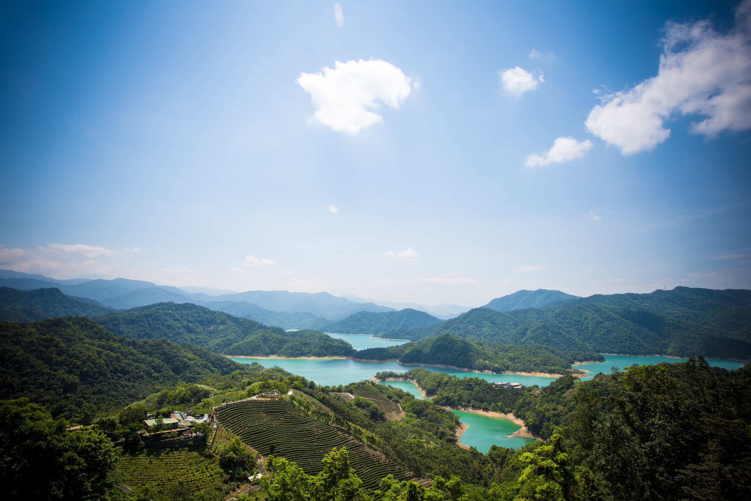
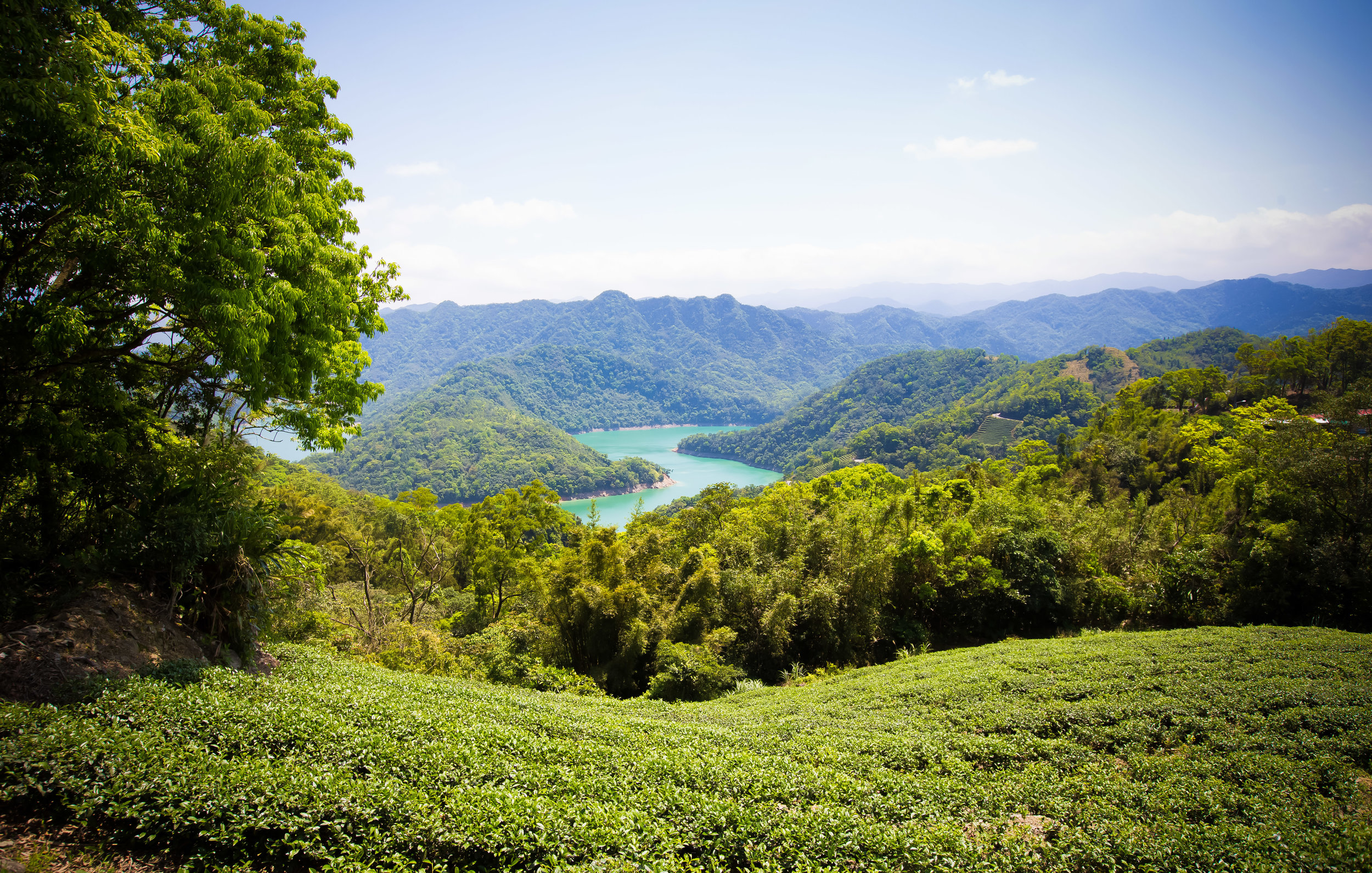
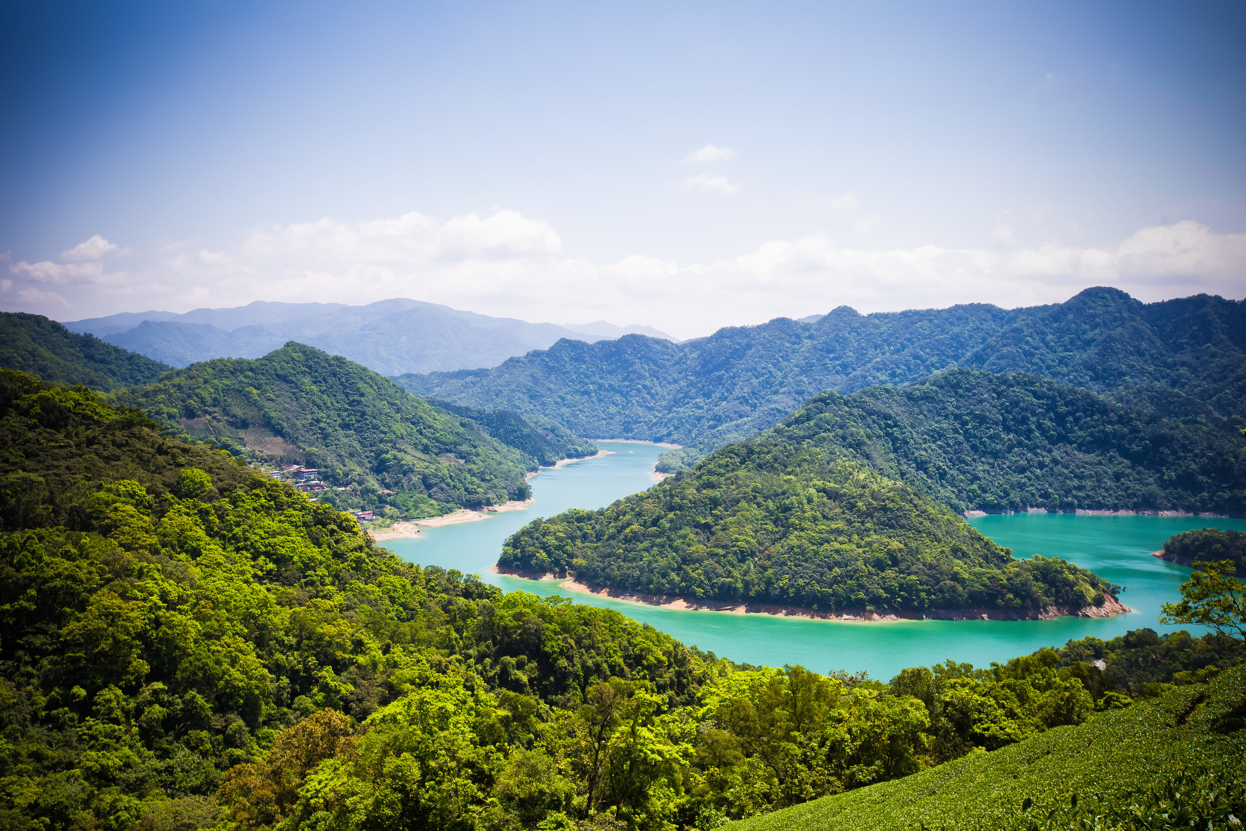
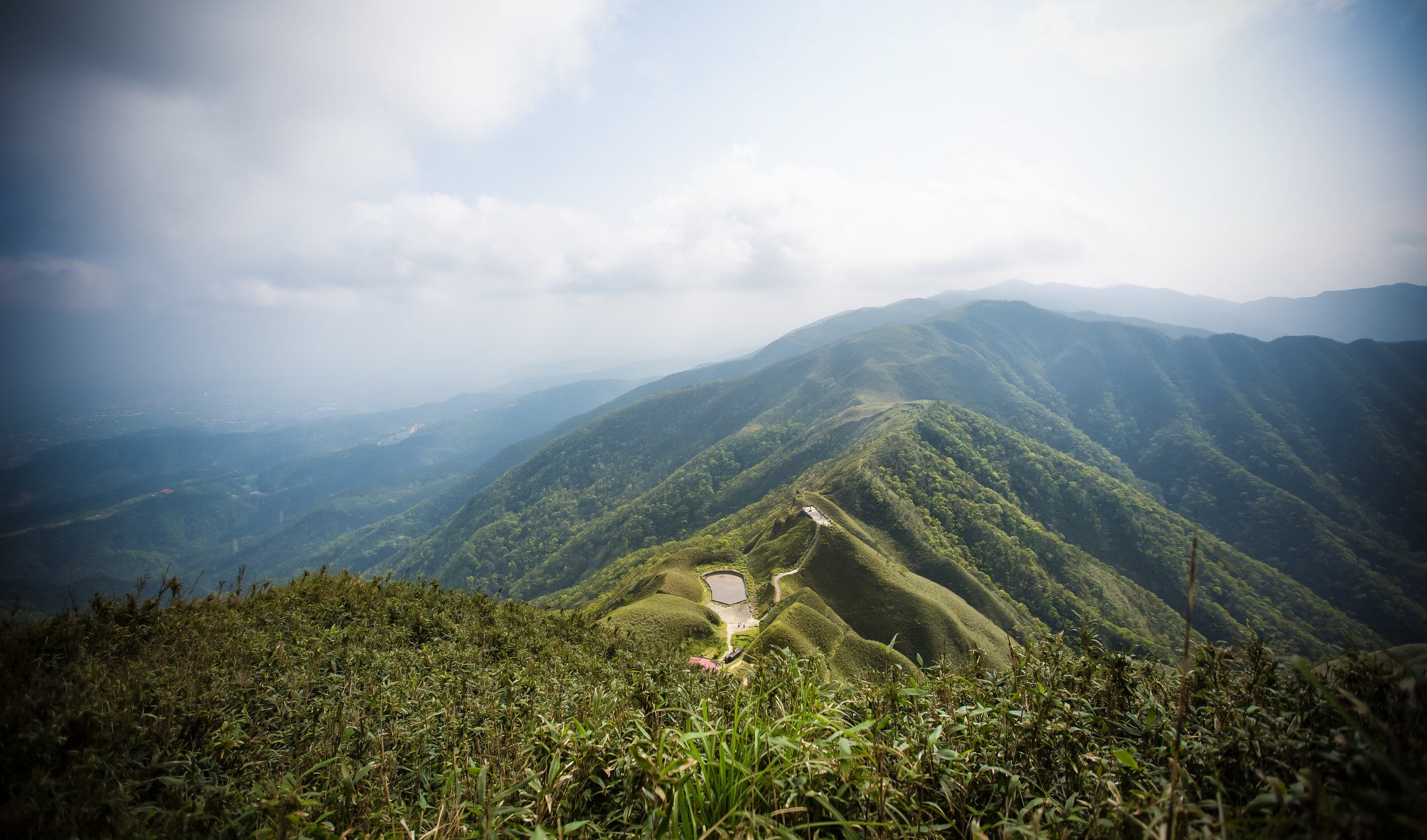
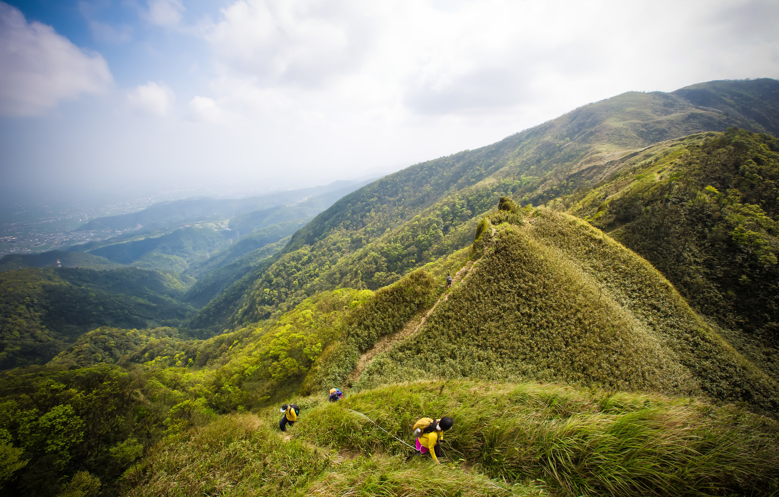
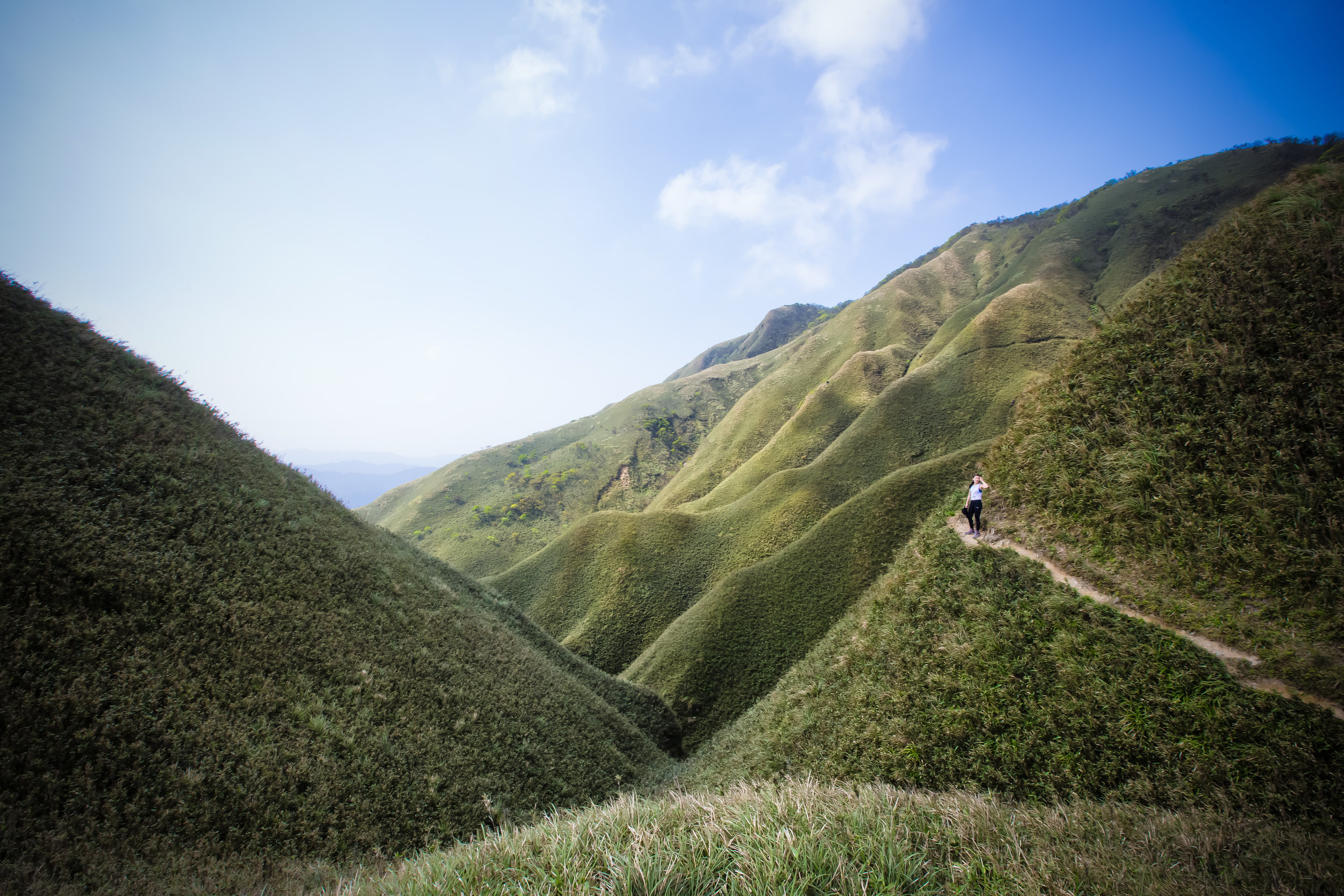
People often have a hard time understand how it is that after so many years of living in Taiwan that I’m still so eager to explore the country. I often get asked by locals and foreigners alike how it is that I’m not “bored” living here. On the contrary, I’ve always been of the opinion that even though I’m constantly on the go, there is always something new to see and more importantly to learn about.
I think one of the best things about living in Taiwan is that we are truly blessed with a well-established schedule of things to see and do on the yearly calendar. Whether its a cultural or religious event or something happening with the natural environment, there is always plenty of things for locals and tourists to enjoy or take part in.
With that being said you will have to keep a keen eye on all of the events taking place and in some cases may even have to miss out on some in order to check out others. Being able to pick and choose though is one of the great things about living here.
I often tell people that Taiwan is only ever going to be what you make of it. So, if you spend all your time partying and going to clubs, you’ll have to excuse me when I roll my eyes at you when you tell me that this is a boring country with nothing to do - There is always something to do!
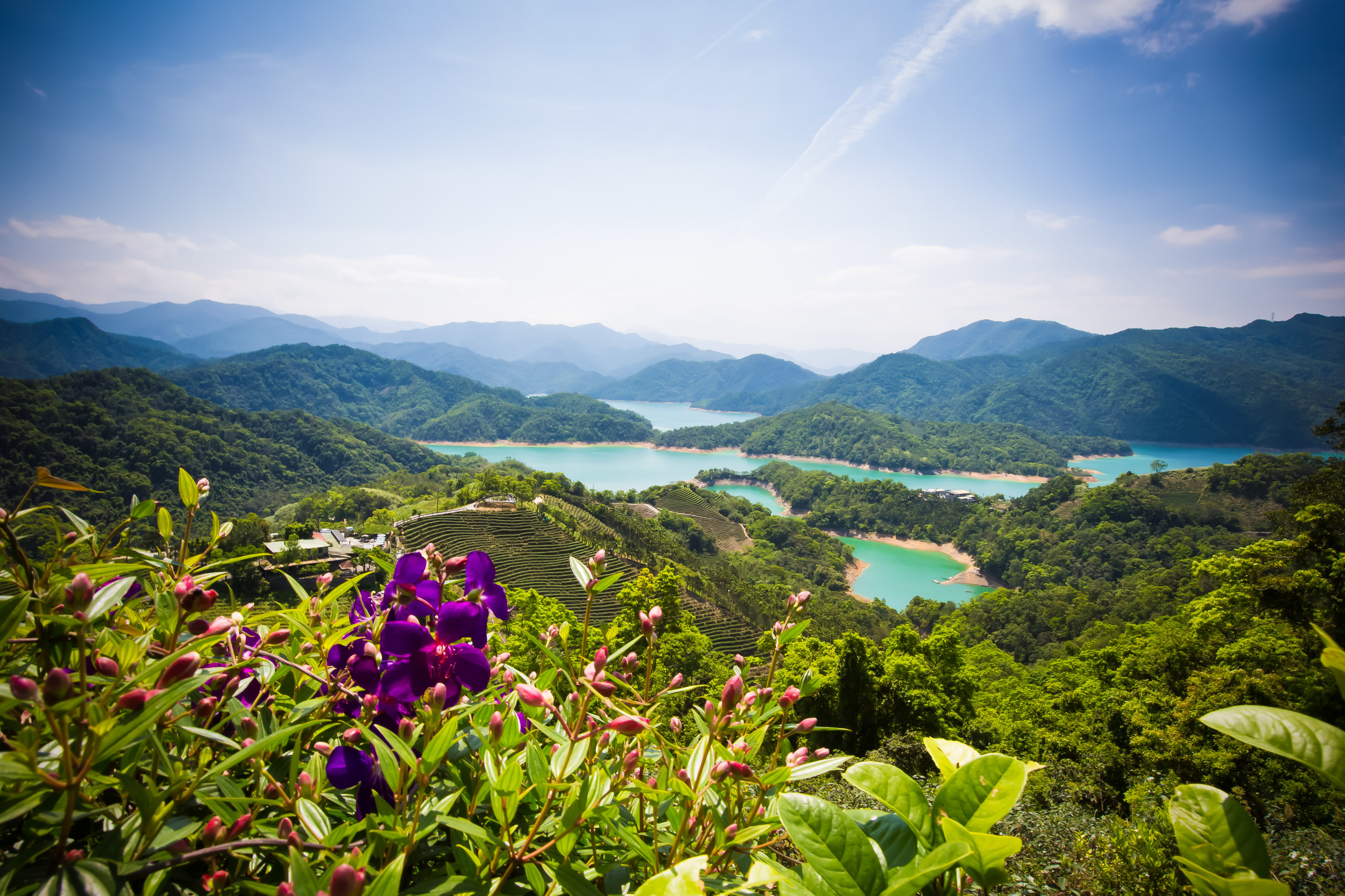
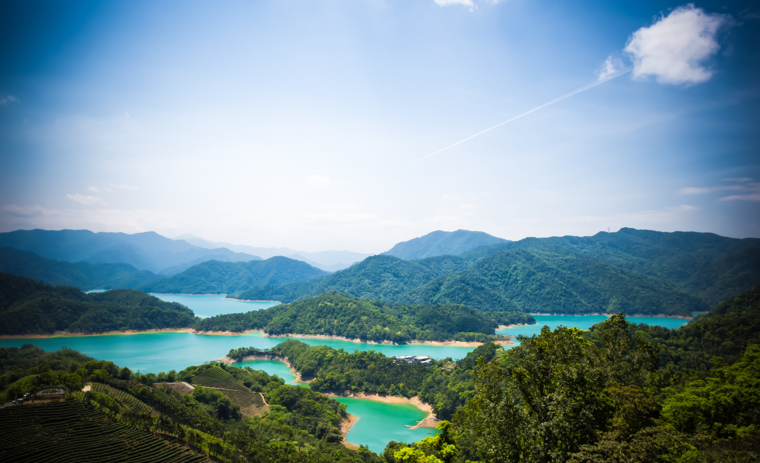
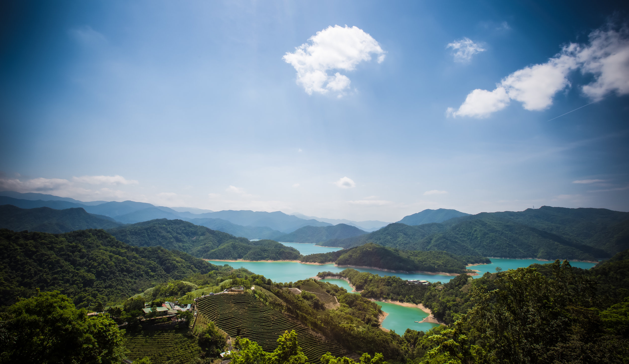
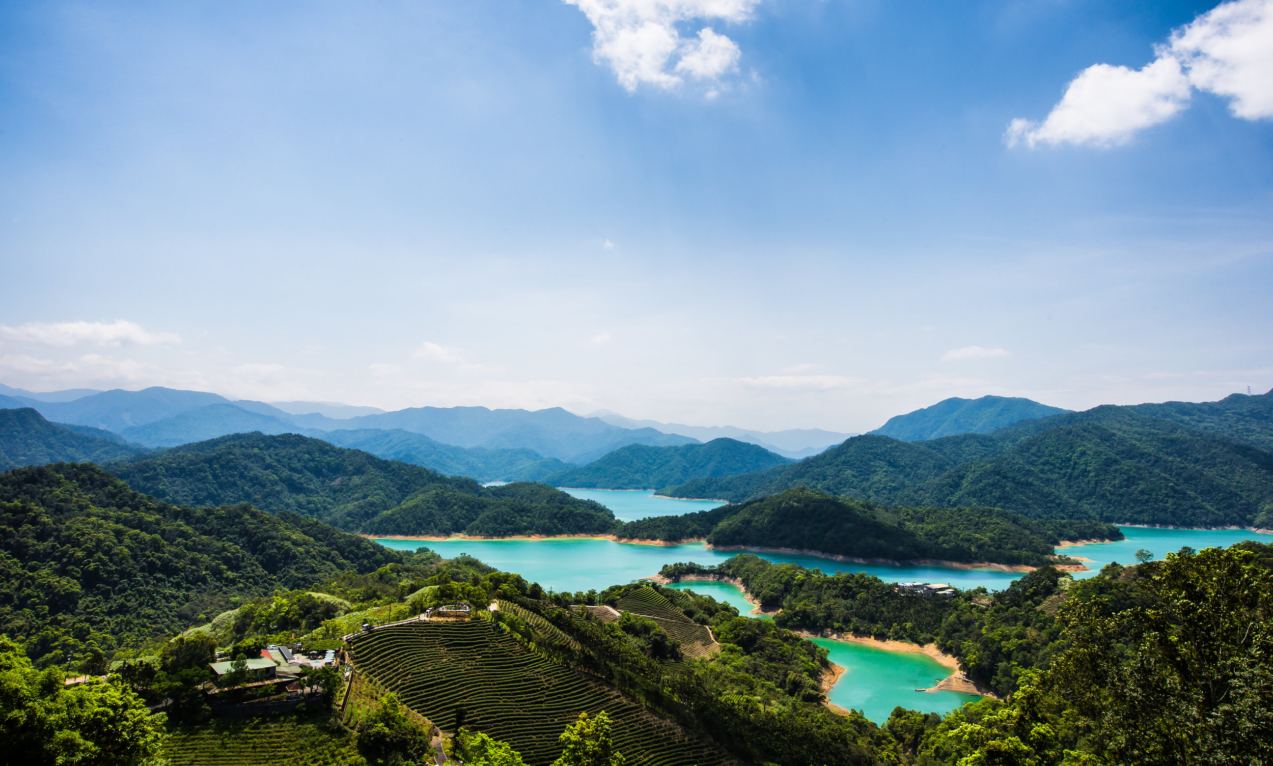
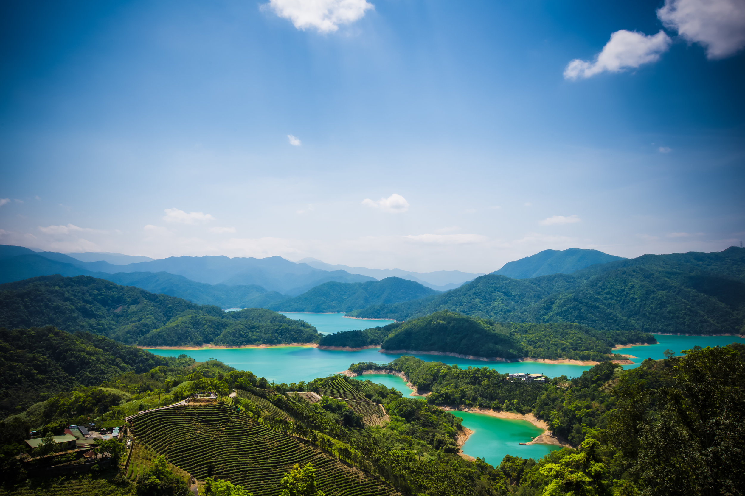
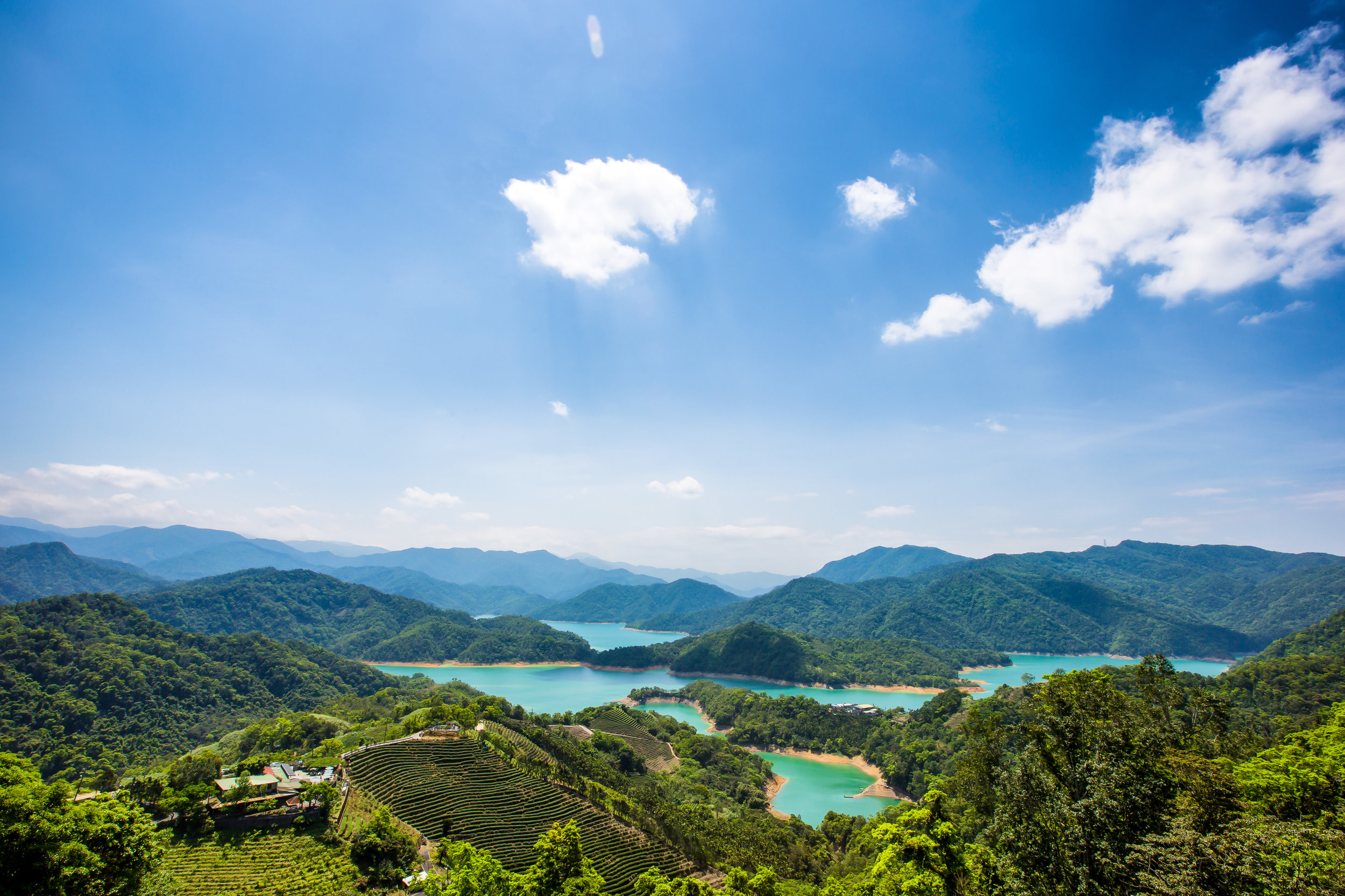
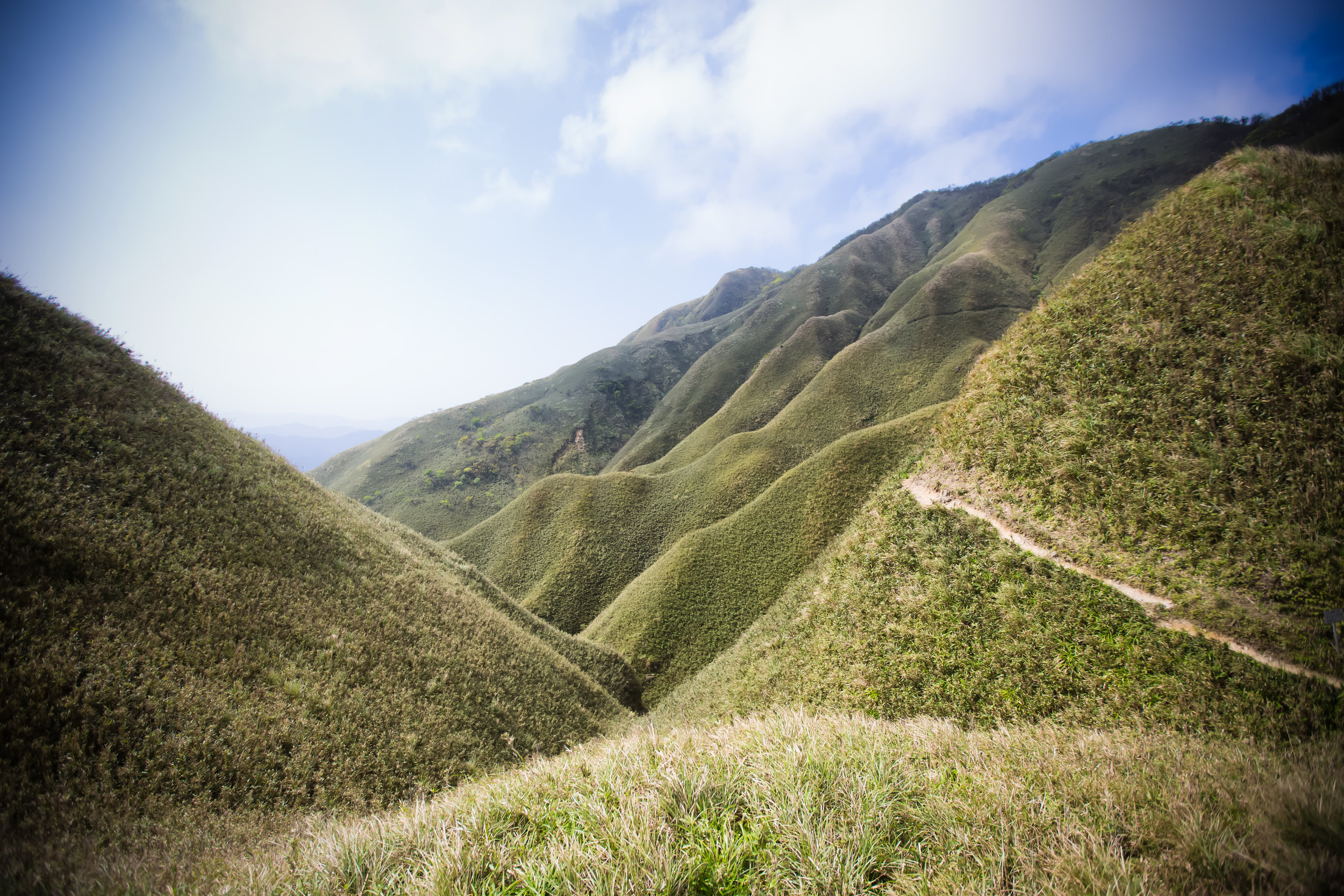
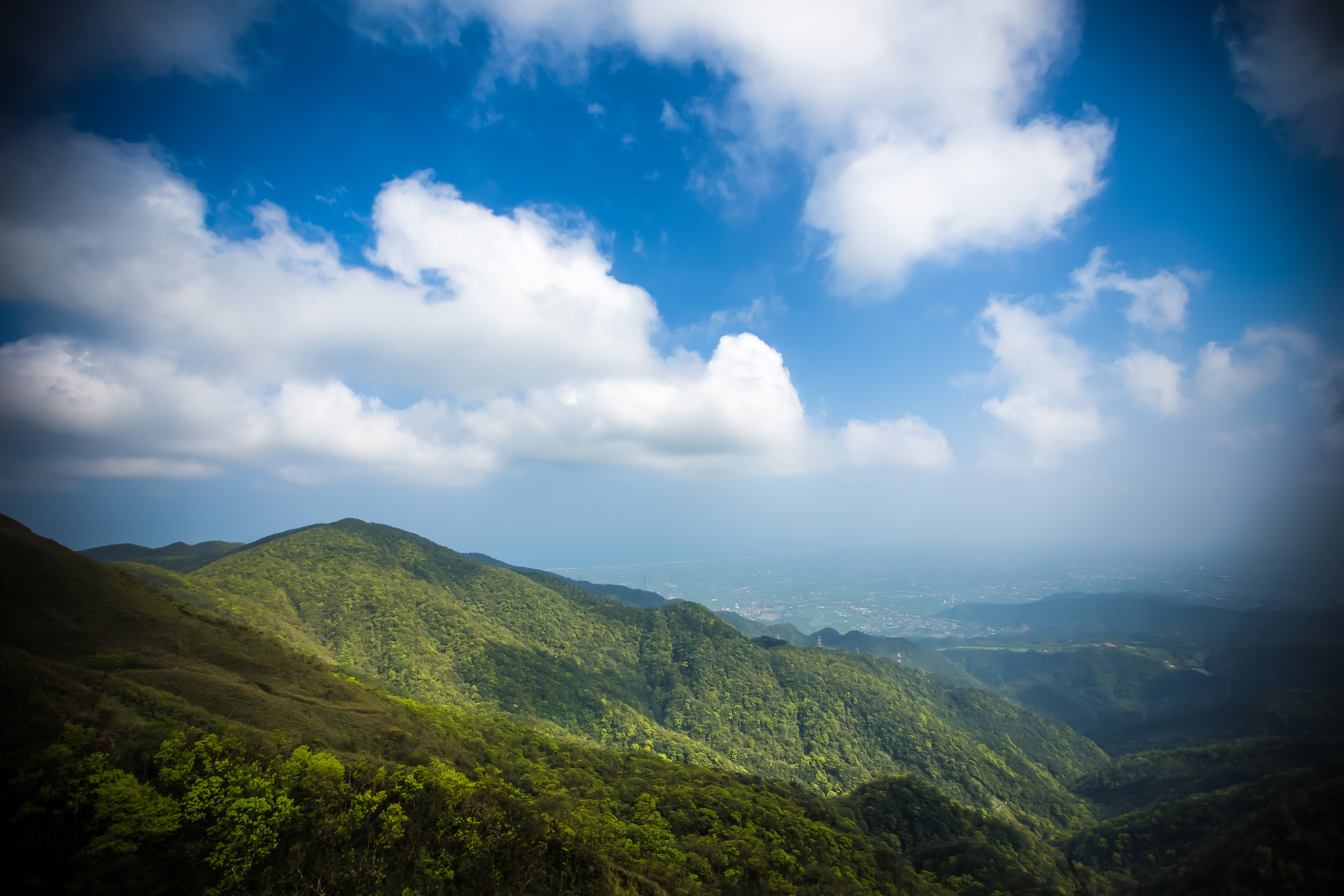
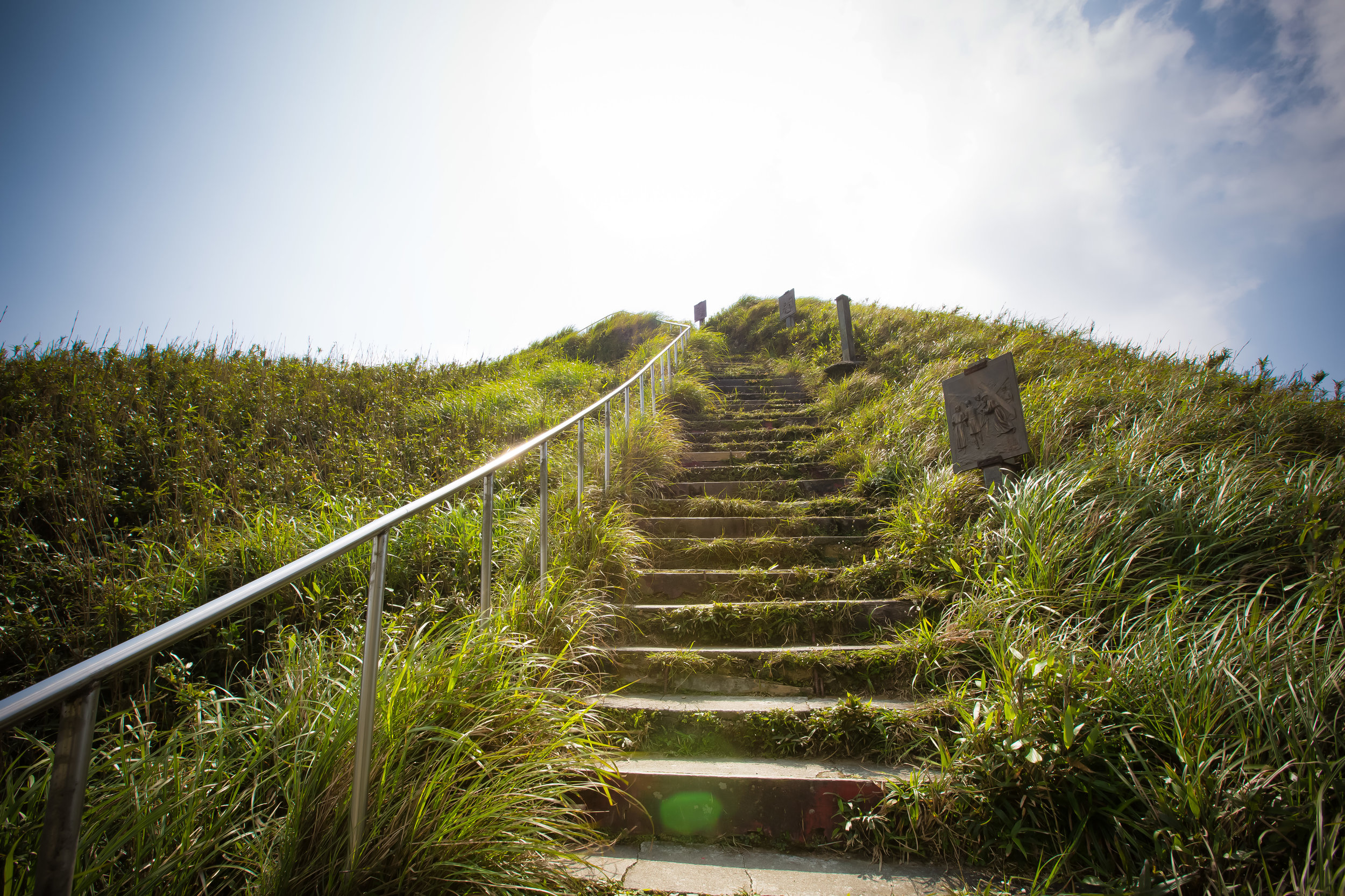
Today’s blog post is about a popular landscape spot in Northern Taiwan and is a spot that I always try to visit if I can find the time. It’s also a place that has been made popular thanks to the many skilled photographers who have spent time taking beautiful photos.
Unfortunately if you want to see it, you’re going to have to pay close attention to the calendar as it doesn’t last for long!
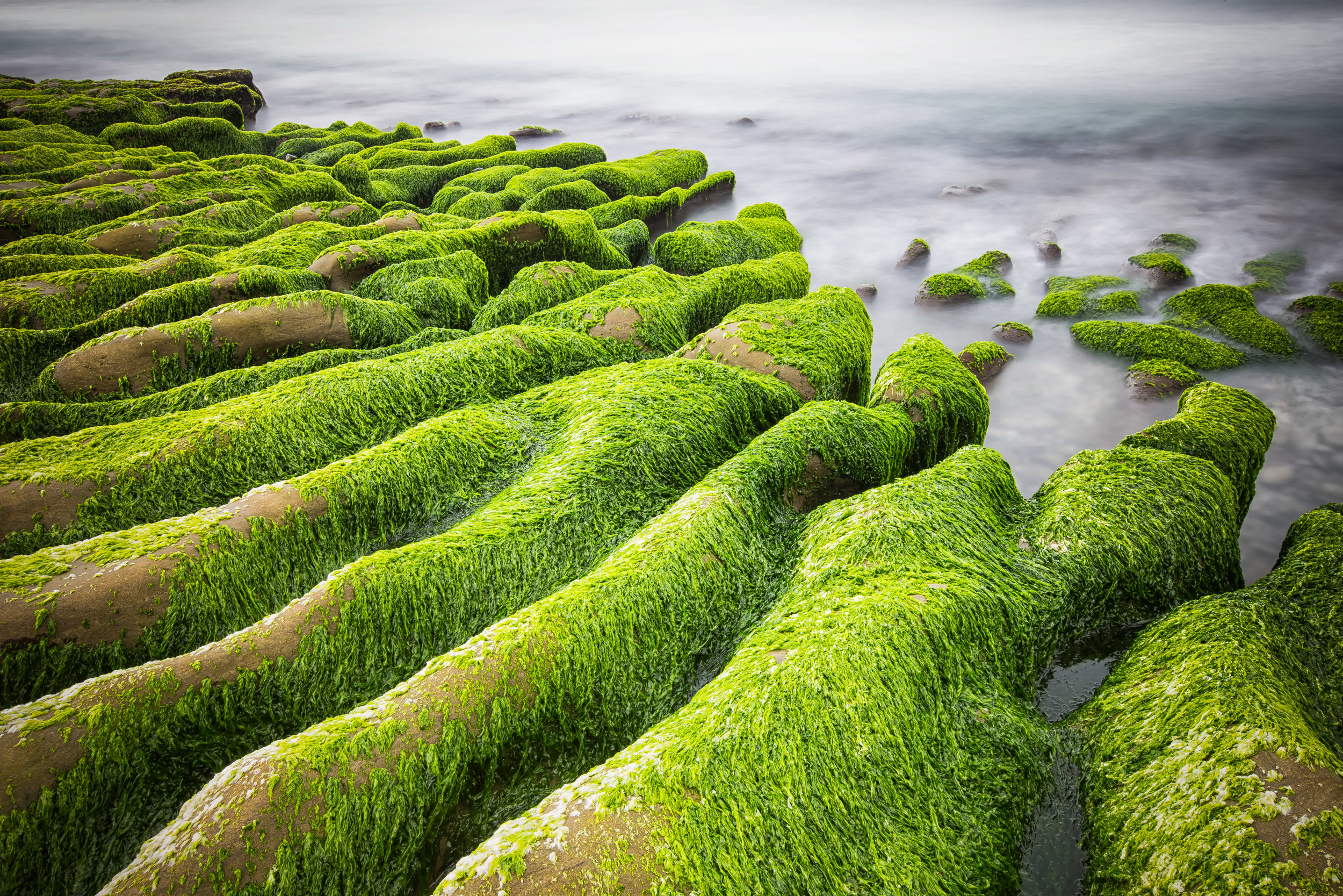
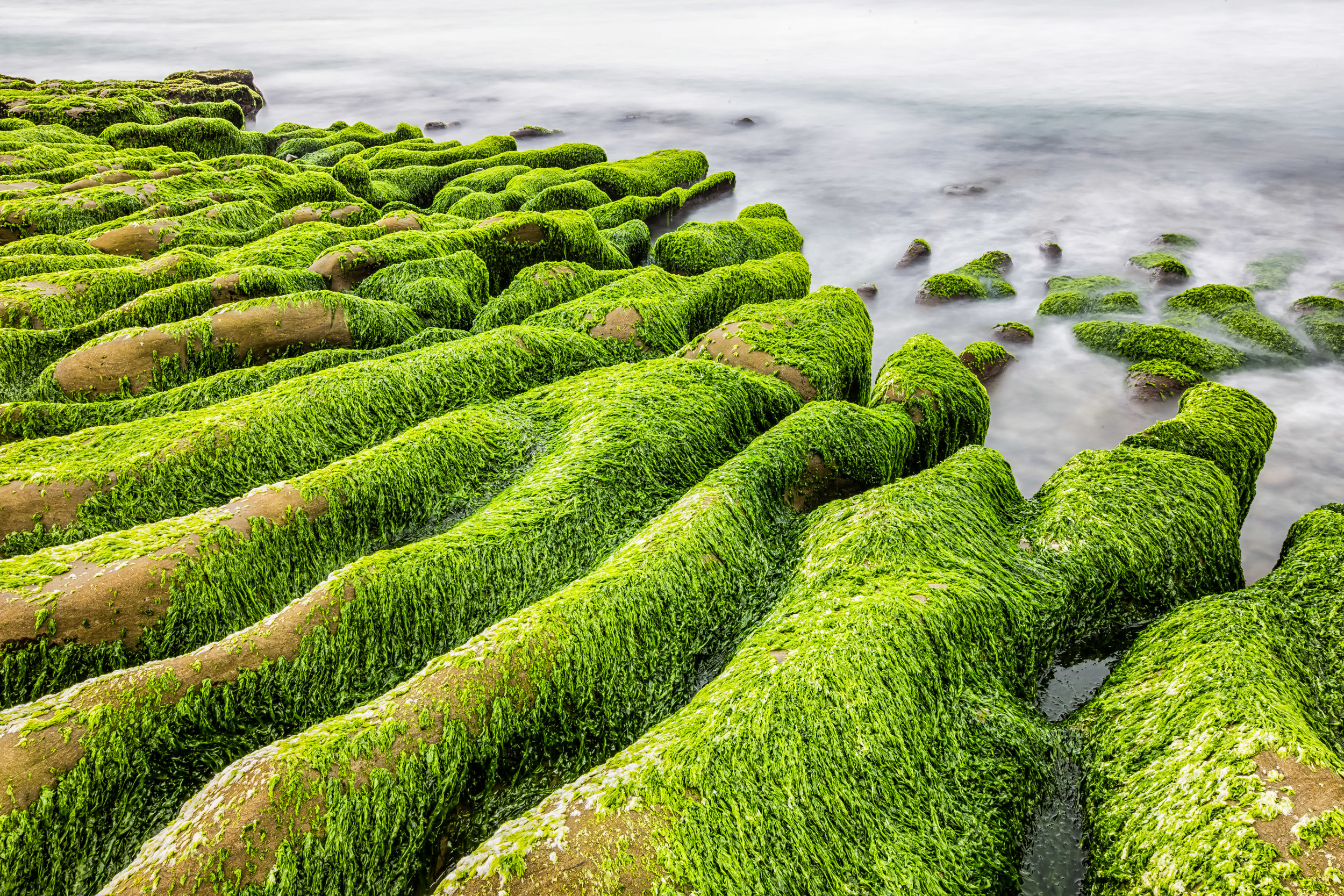
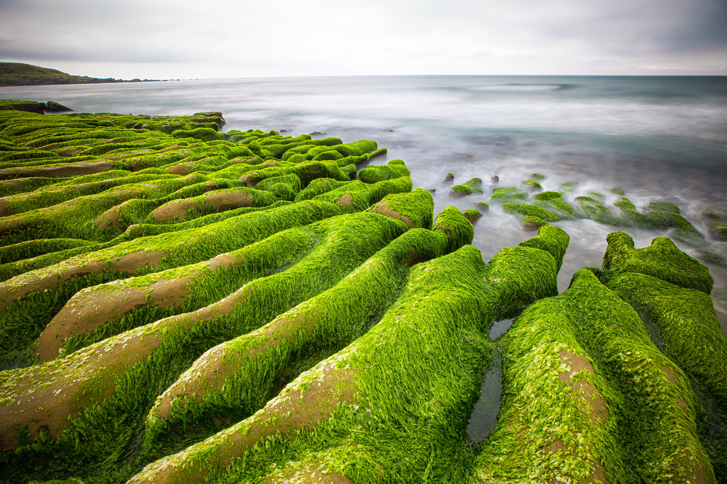
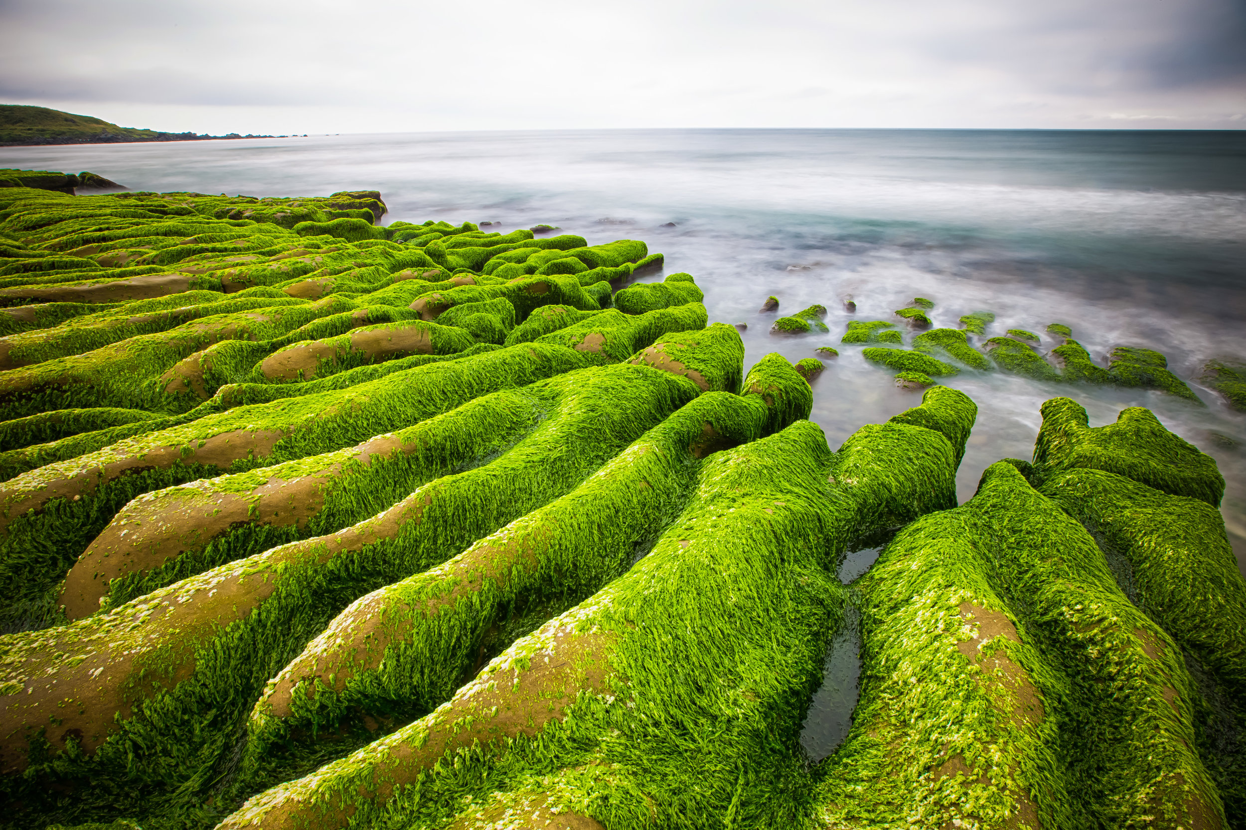
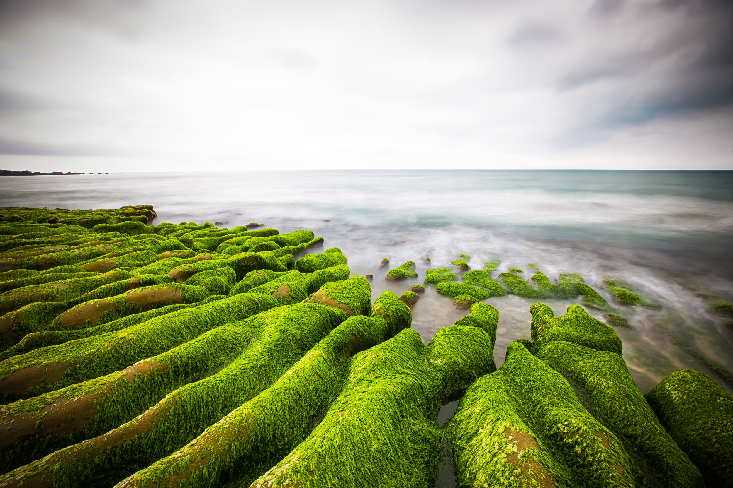
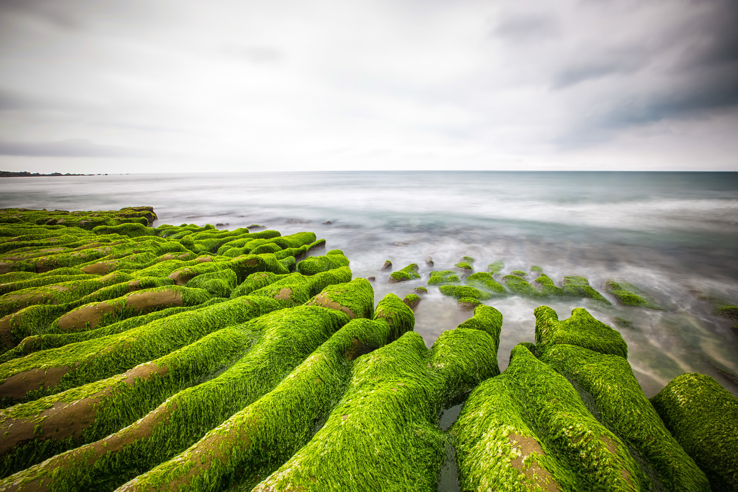
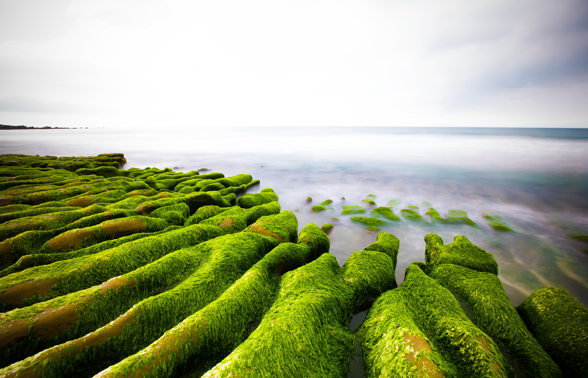
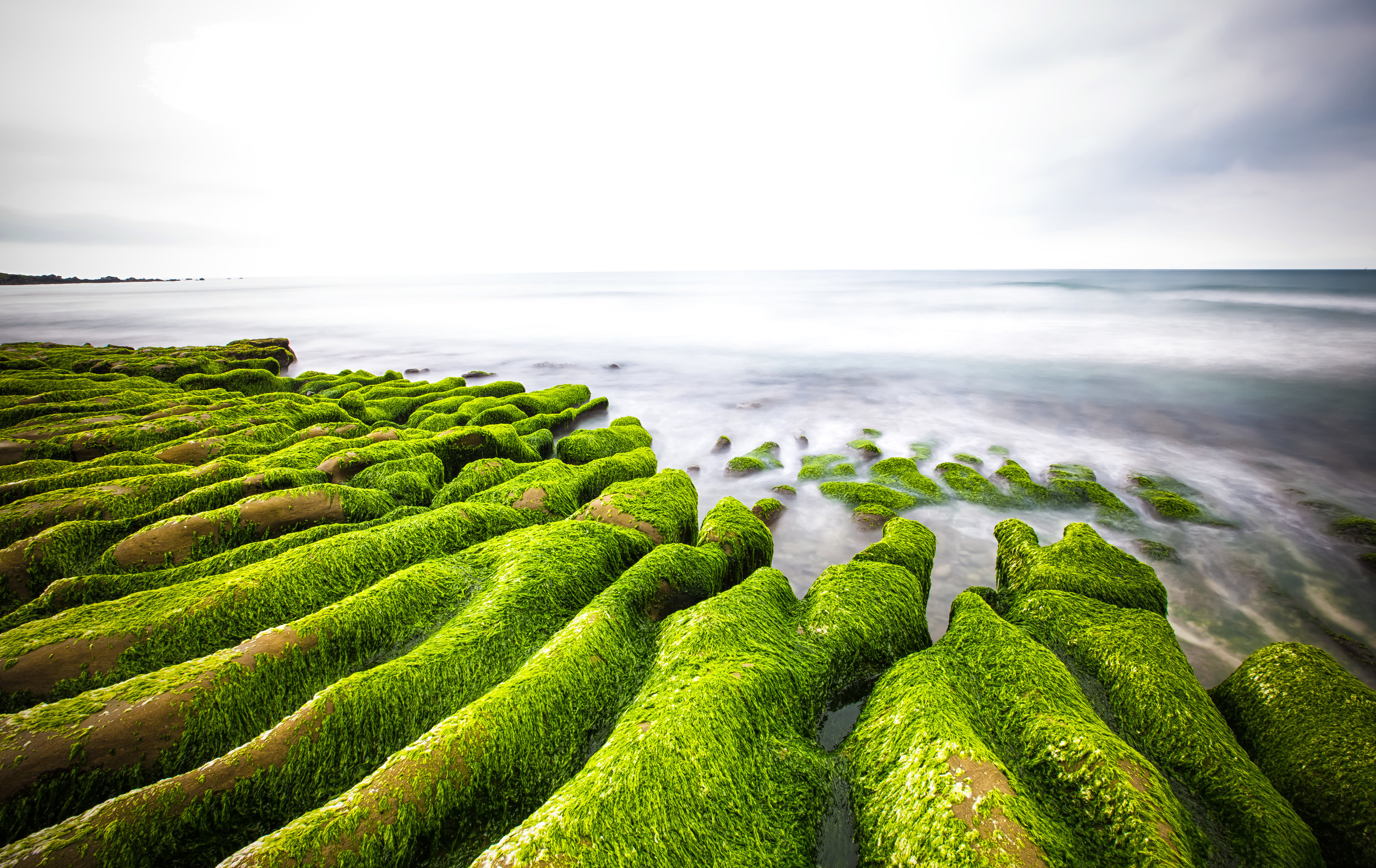
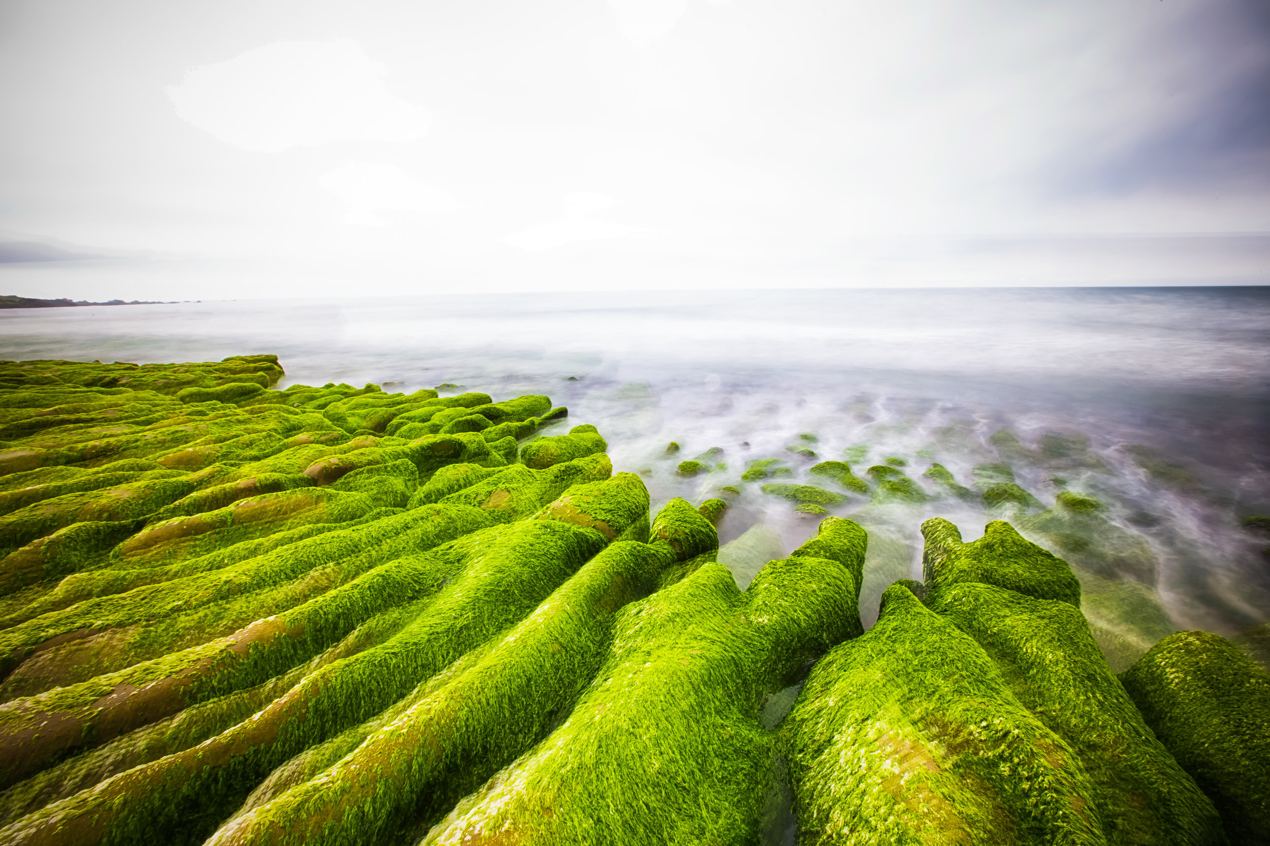
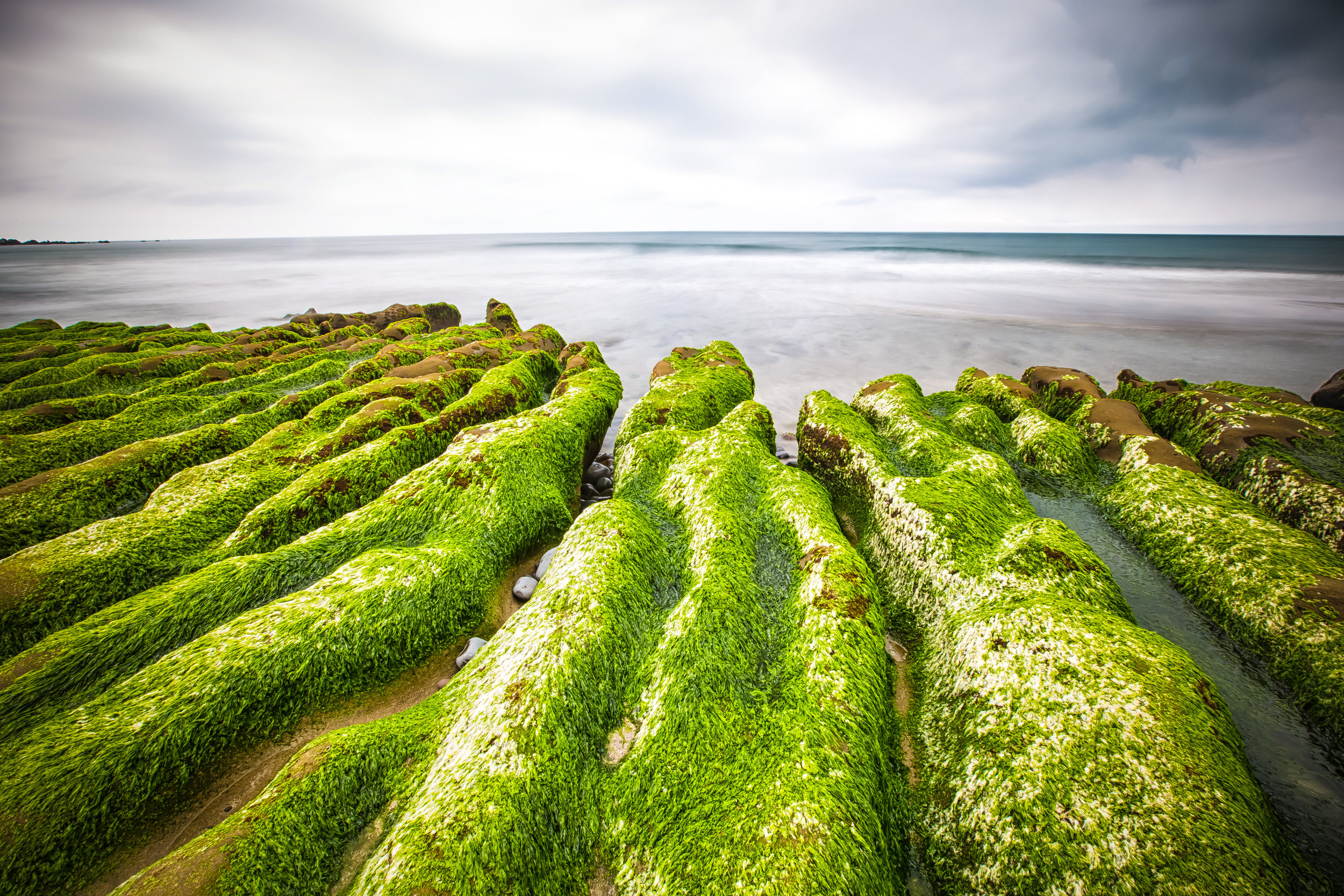
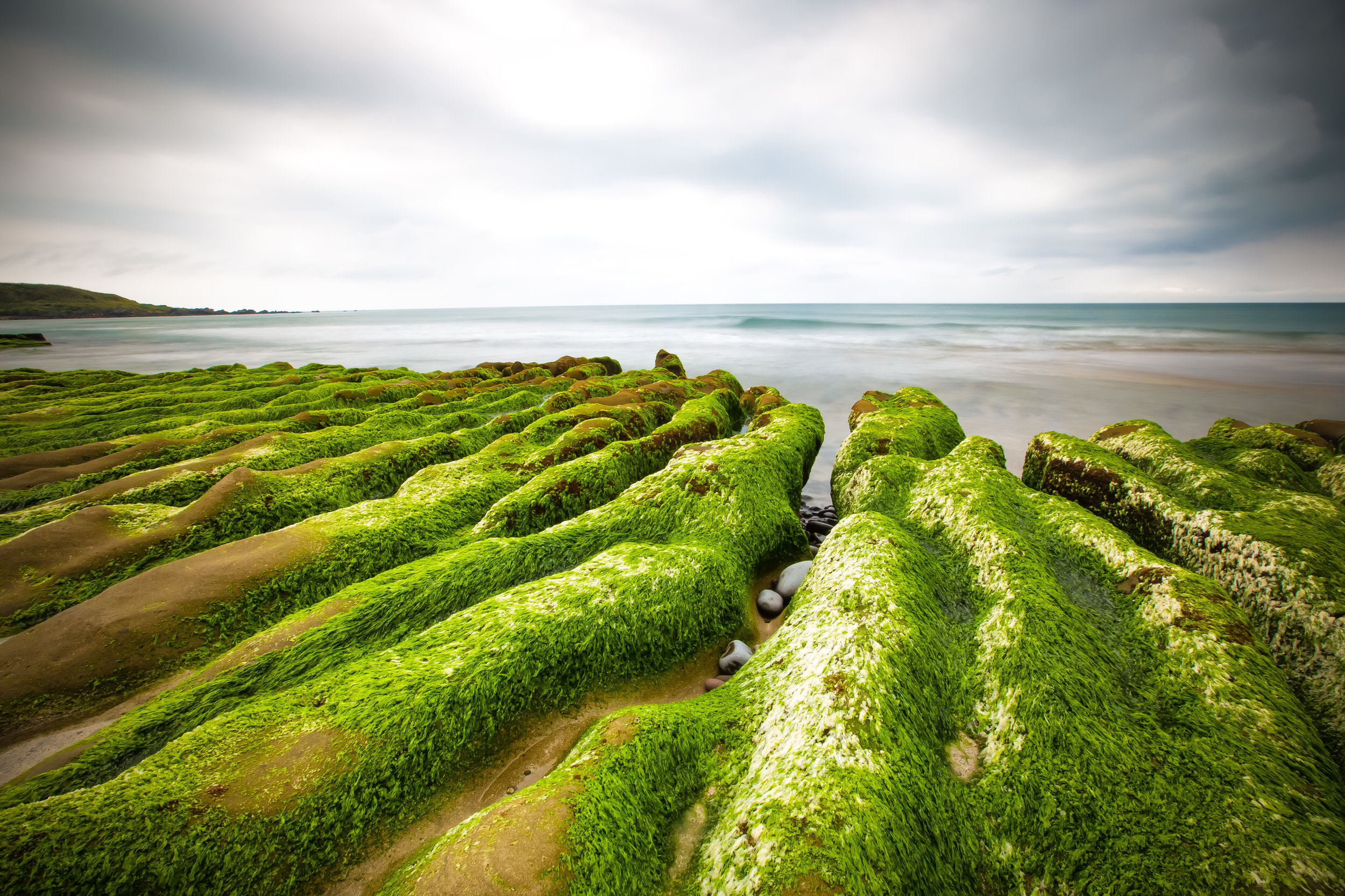
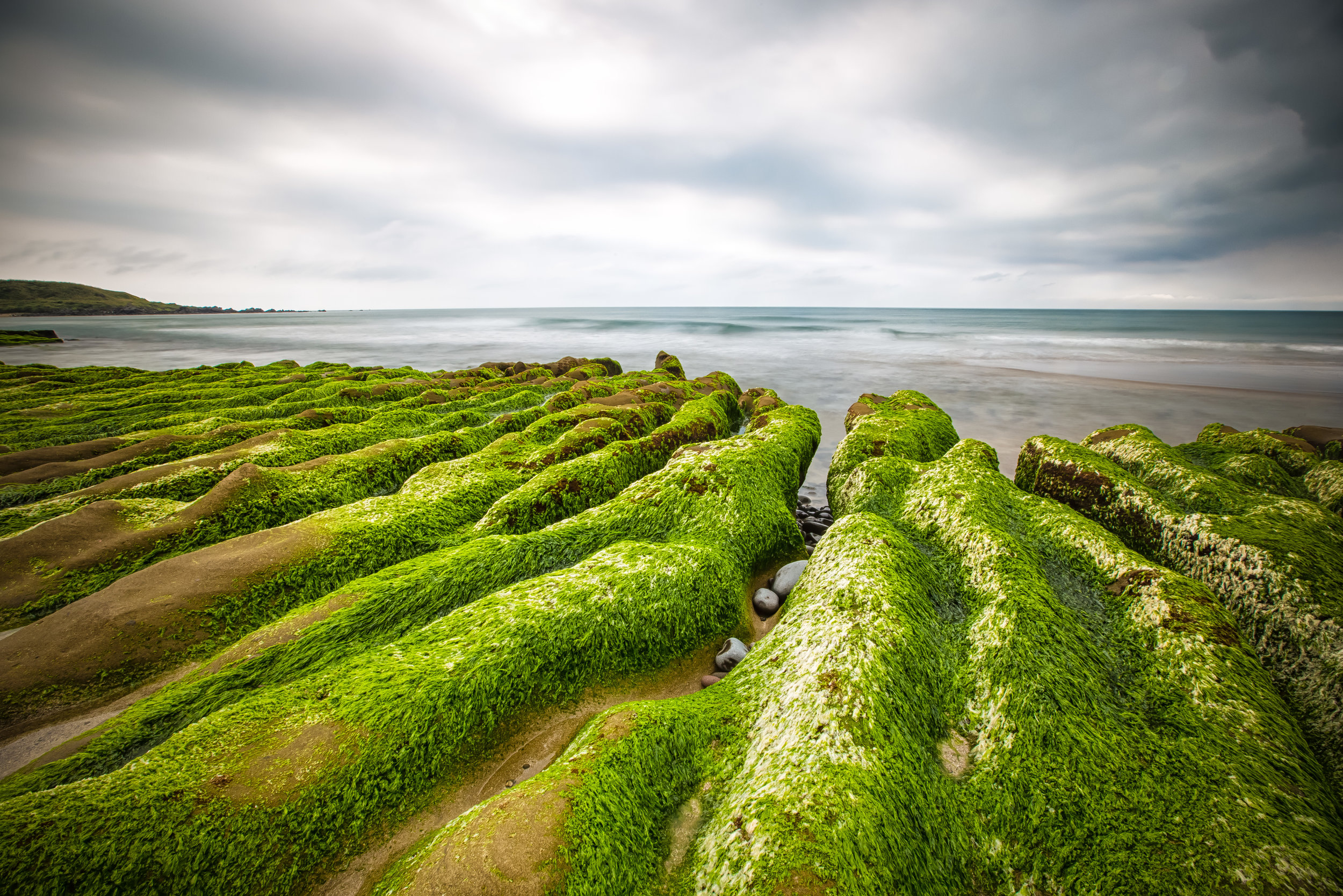
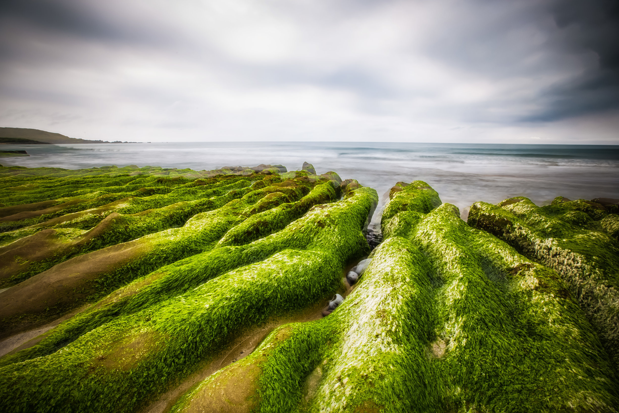
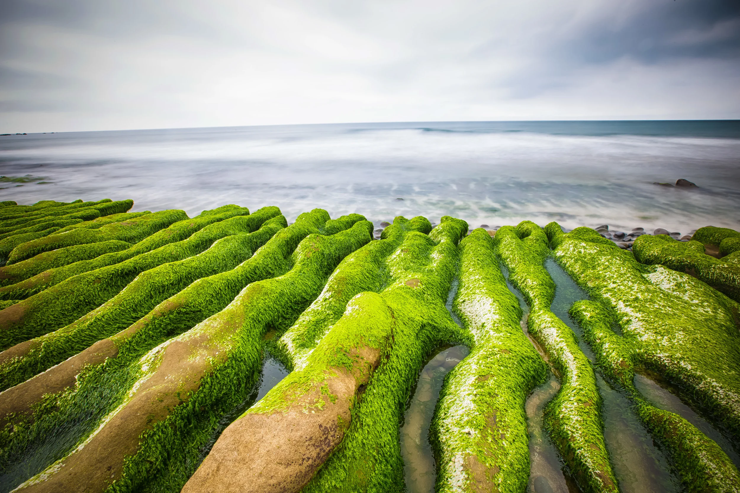
Laomei Green Reef (老梅綠石槽)
In recent years the the Laomei Green Reef has become a popular tourist attraction along Taiwan’s beautiful North Coast. The Green Reef is situated on a beach next to the Laomei community of New Taipei City’s Shimen District (石門區).
While photographers may have played a small part in making this unique spot a popular one with tourists, its origins date back at least two hundred thousand years ago when a volcano in the Datun Mountain range (大屯火山群) erupted. The lava that spewed out of the volcano helped to form Taiwan’s North Coast into the shape that we are familiar with today.
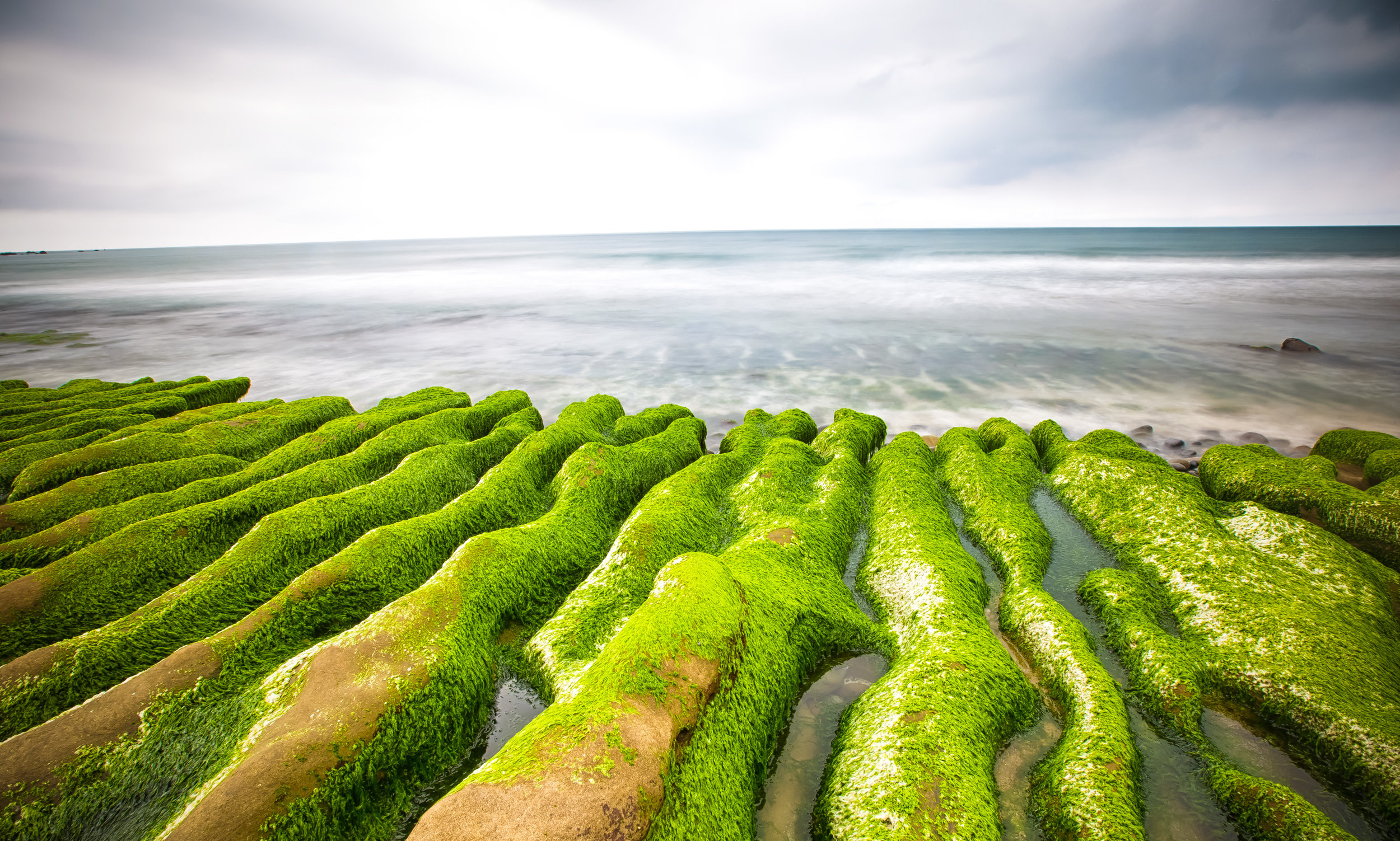
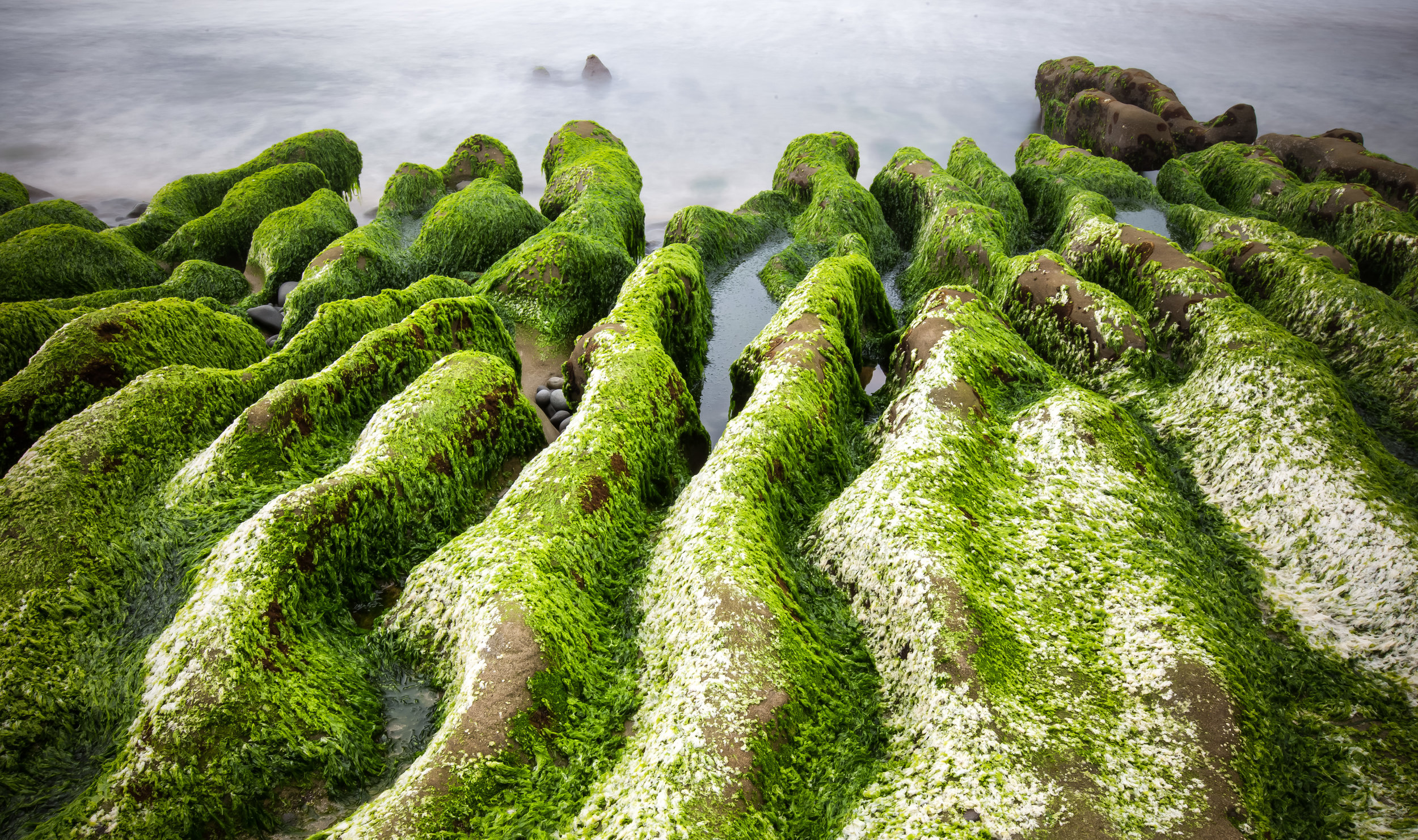
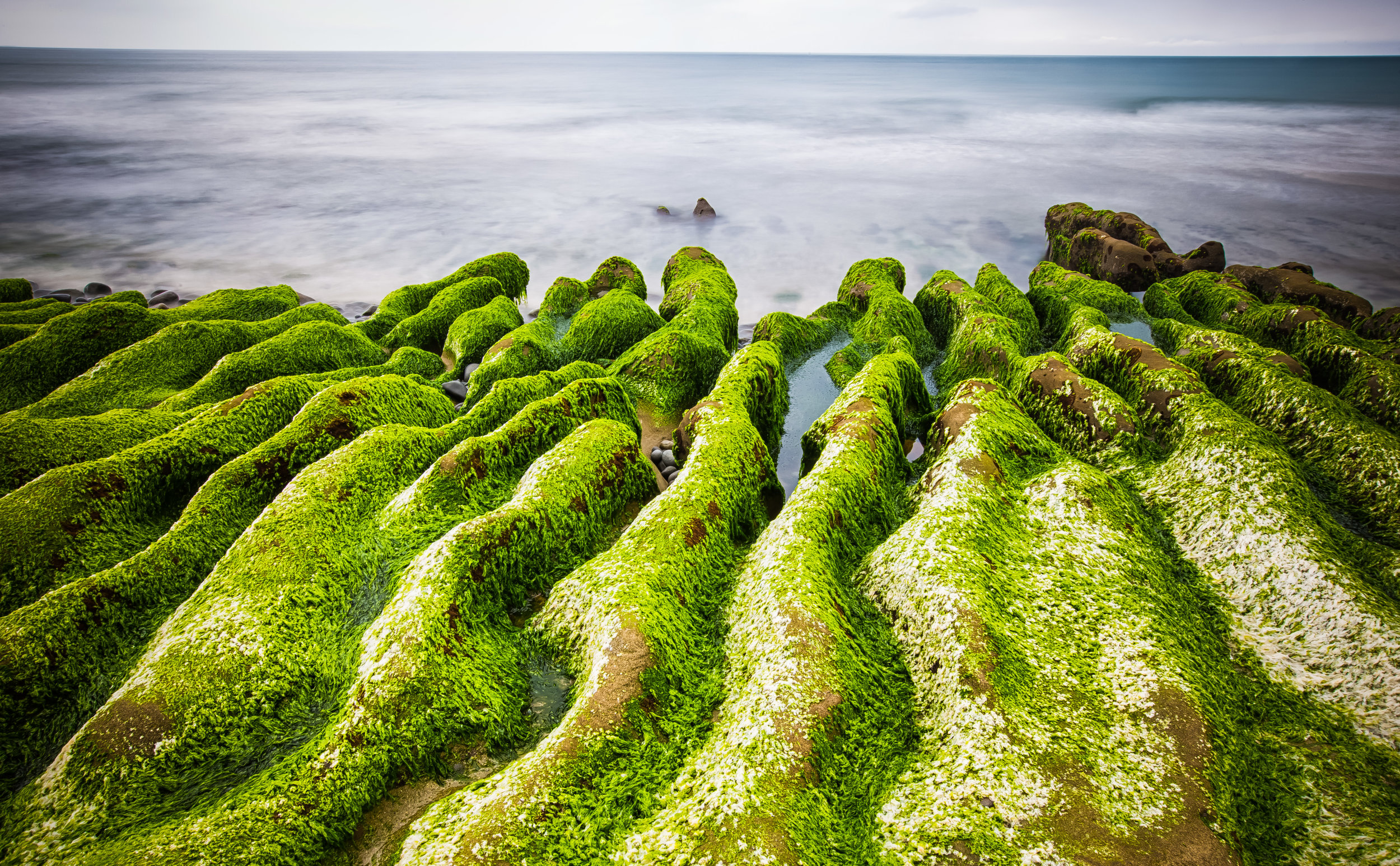
In addition to the 700 meter long reef formed by lava, centuries of sea erosion has helped to shape the rocks into strange-looking trenches where sea water easily goes in and out with the tide.
In the early months of summer, (more specifically April and May) when the weather starts to warm up, algae from the ocean comes in with the tide and makes its home on the reef. This creates a vibrant shade of green on the rocks and is the reason why large crowds of people flock to see it.
The area is especially popular at dawn and dusk with groups of photographers who want to catch some beautiful light reflecting in the water with the vibrant green of the created by the algae.
Unfortunately the amount of time that we’re able to enjoy the “Green Reef” each year depends on the weather and the tides. If April and May are hot (like they have been this year), the algae tends to die off quickly returning the rocks to their natural colour.
This means that the period of time people are able to enjoy the Green Reef is short and can be likened to that of the blossoming season of some of Taiwan’s flowers. If you want to visit Laomei when the reef is Green you’re going to need to pay close attention and make sure you’re free in April or May to pay a visit.
While the natural lifespan of the Green Reef depends on the weather, there are also external factors that contribute to the “green” parts of the reef dying off earlier than usual.
You will notice signs on the beach in both Chinese and English that urge tourists not to walk on the reef - The signs have not only been put up for the safety of tourists, but for the protection of the reef.
The popularity of the reef in recent years has caused a bit of an issue with disrespectful tourists and photographers tramping all over the green parts of the reef killing the vegetation.
Don’t be an ass. You can easily enjoy the natural beauty of the reef without walking all over it.


One of the best ways to know when the reef has turned green is to look at “Recent Photos” for the geo-location “Laomei Green Reef” or “老梅綠石槽” on Instagram which will give you a pretty good idea of the recent conditions at the reef.
There is a lot to do on the North Coast, so if you are lucky enough to visit Laomei when the reef has turned green, you will also be able to visit many of the other tourist stops along the way as well as being able to stop by one of the fishery harbours for a feast of fresh cheap seafood!
Getting There
If you don’t have your own method of transportation, you’ll want to go to make your way to the Tamsui MRT Station (淡水捷運站) and then take bus #862, #863 or #892 and get off at the Laomei stop (老梅站
Gallery / Flickr (High Res Photos)