Yun-Sen Waterfall (雲森瀑布) which translates as “Cloud Forest” waterfall is kind of an unknown (and overshadowed) waterfall in New Taipei City’s Sanxia District (三峽區.)
Its a beautiful waterfall, its just not that well known - especially among the foreign hiking groups that I frequent. If you take the hike to the waterfall, even on a busy day, you’re not likely to meet many other people other than bird watchers on the trail.
I’m assuming this is because not that many people know about it and because it is not actually that easy to get to without your own means of transportation (car or scooter.)
There are buses from Sanxia that will take you near the trailhead and the major marker for the trailhead is actually the Taipei bus company’s “Xiong-Kong” bus stop (熊空站) but it seems to me that they are extremely infrequent and not very dependable.
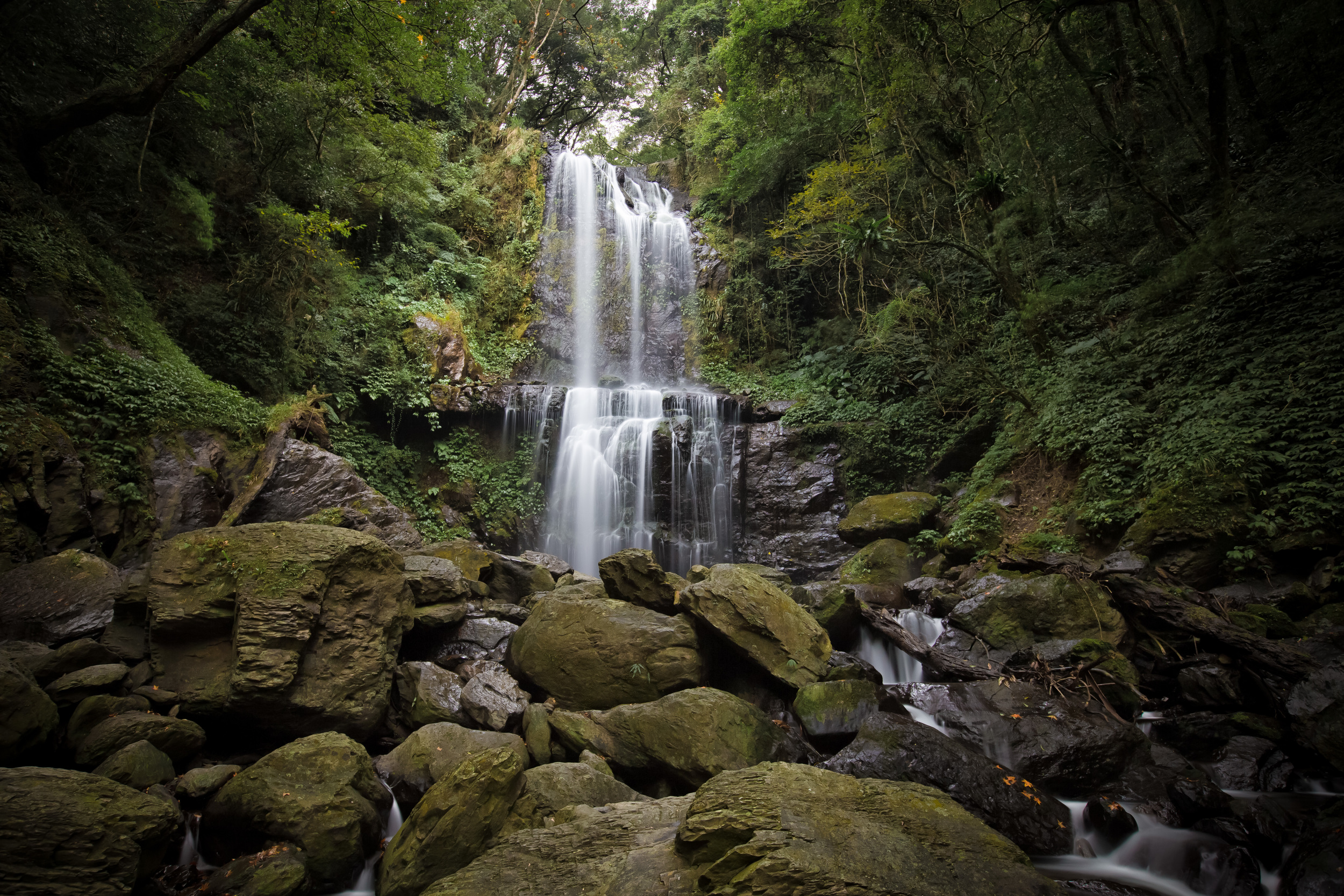
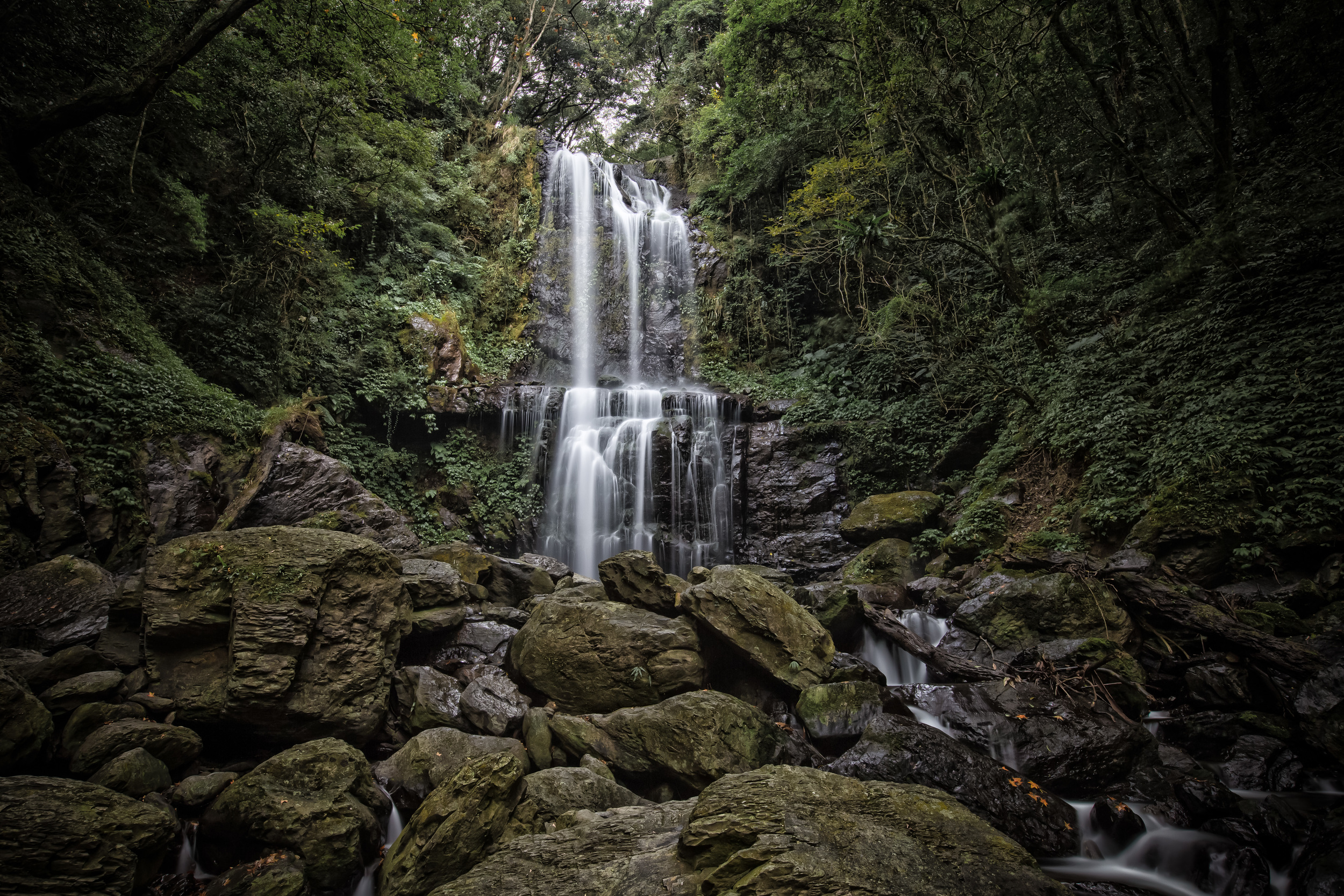
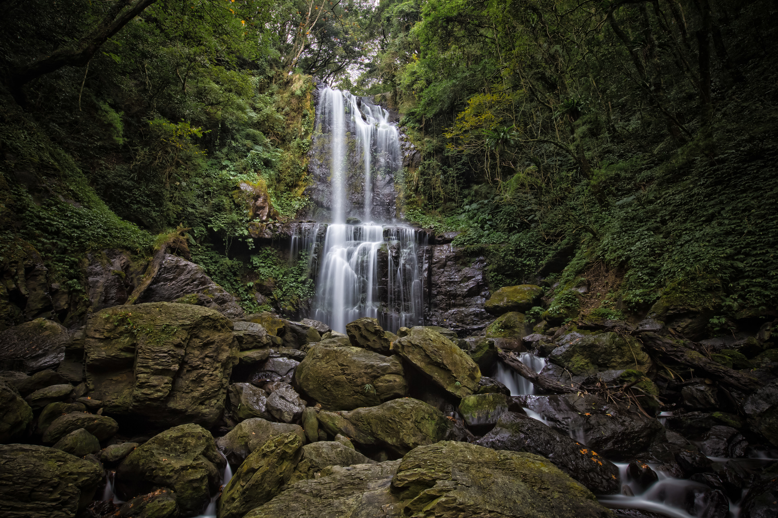
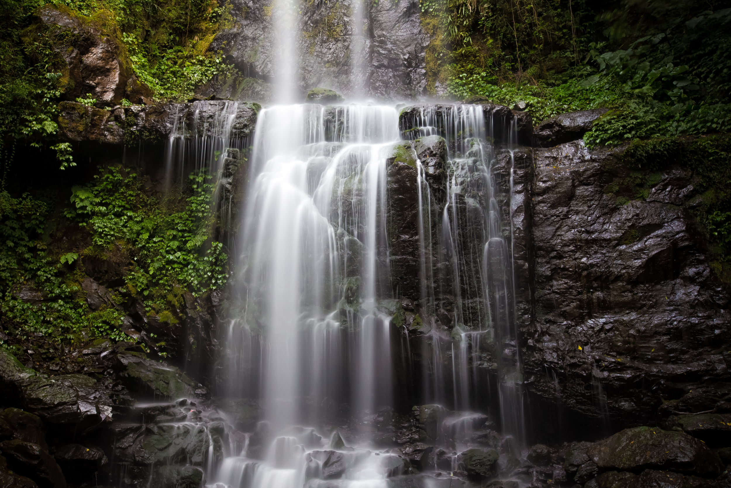
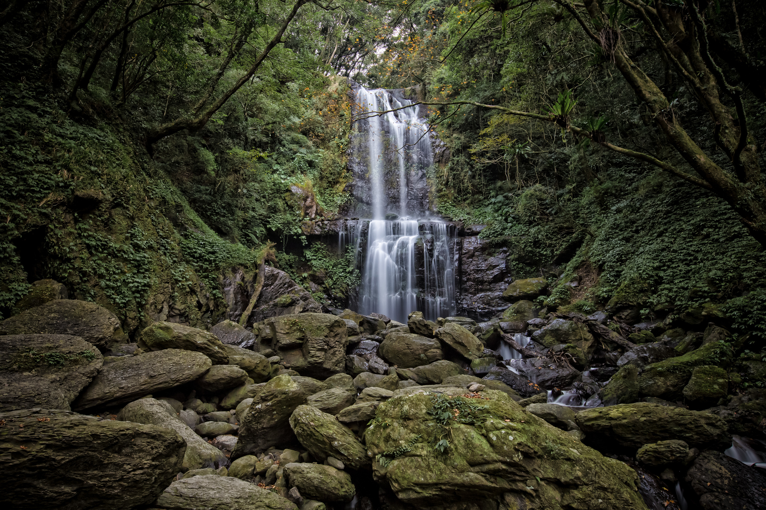
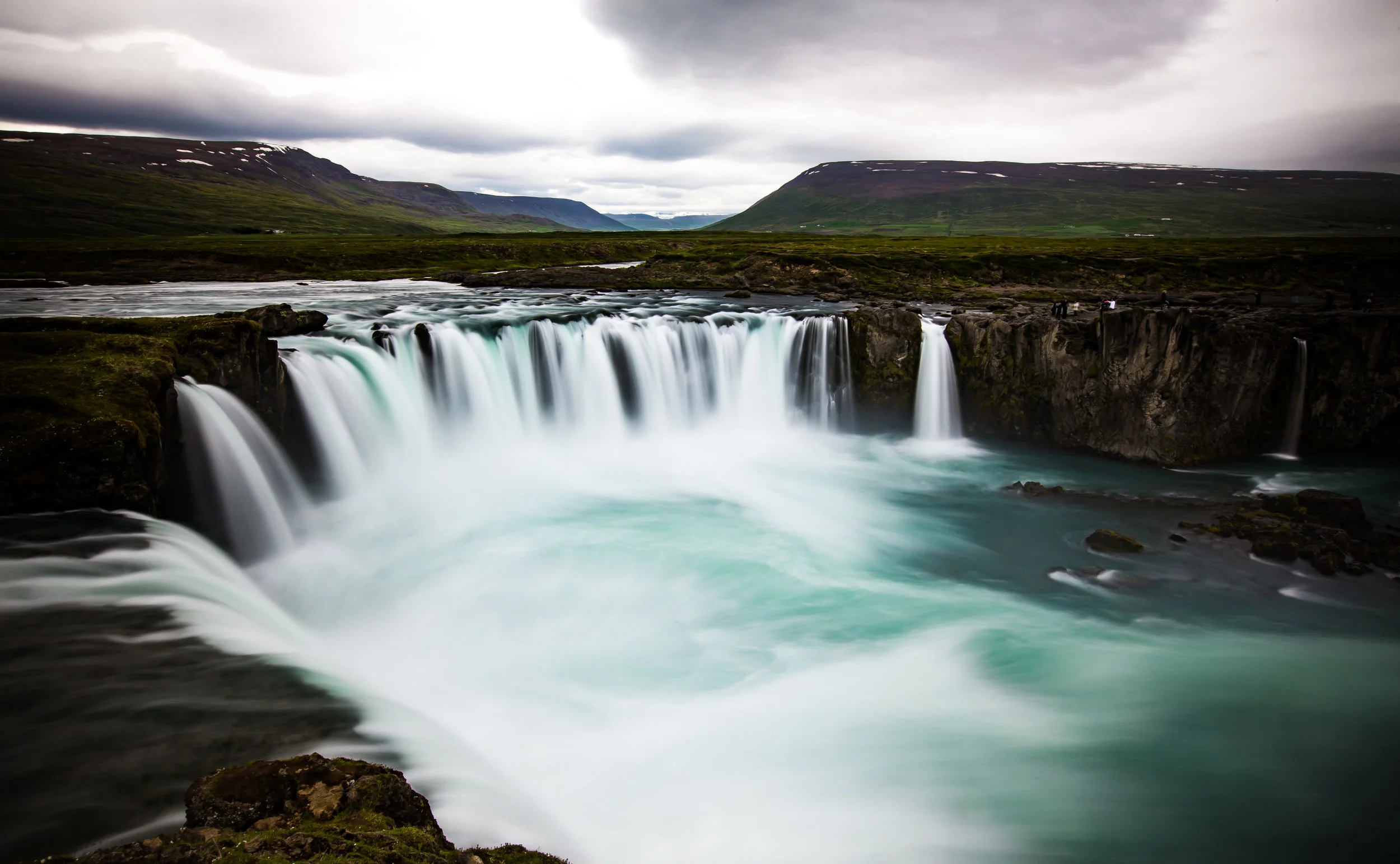
- A close up long exposure of the waterfall
I’ve travelled that road numerous times over the past few weeks while on my way to other hiking trails and I’ve not once seen a single bus. So, if you’re reading this blog post and suddenly get the urge to visit the waterfall, you’d have to be a lot more patient than I am to use the public transportation option to get there. It’s not impossible by any means, I’m just not patient enough to wait hours for a bus to arrive, especially when you’re completely unsure if it is going to come at all.
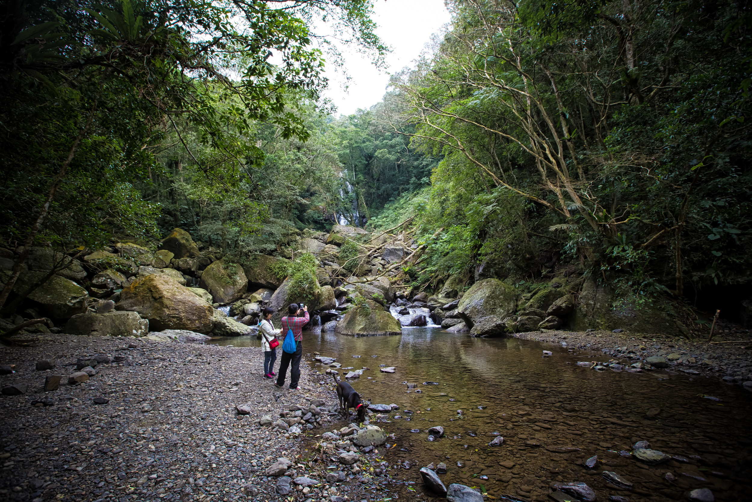
- Taiwanese hikers at the stream below the waterfall
The road you take to arrive at the trailhead is more or less a dead-end road that takes you past the Da Ban Gen Hot Spring Resort Village (板藍根) to the Man Yue Yuan National Forest Recreation Area (滿月圓國家森林遊樂區) which are both popular destinations and somewhat overshadow the waterfall.
When you arrive at the Xiong-Kong bus stop the trailhead is to the right, but it isn’t clearly marked in Chinese or in English so you have to be careful that you take the right route.
Before going, I checked with a Taiwanese hiking blogger and made use of google maps to make sure that I was on the right path when I arrived. (Tip: Type 雲森瀑布 into google maps and it will lead you to the trailhead) I was driving my scooter, so I cheated a bit and drove my scooter up the paved path all the way from the bus stop to the trailhead.

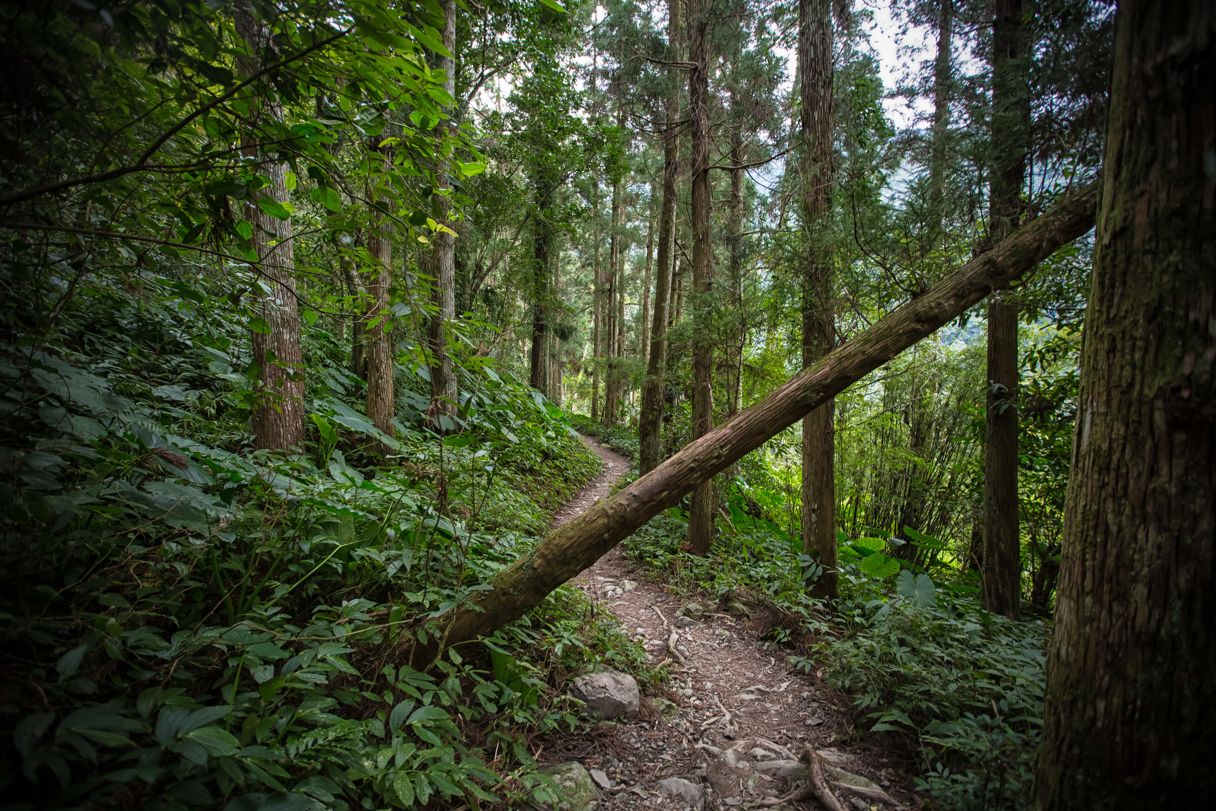
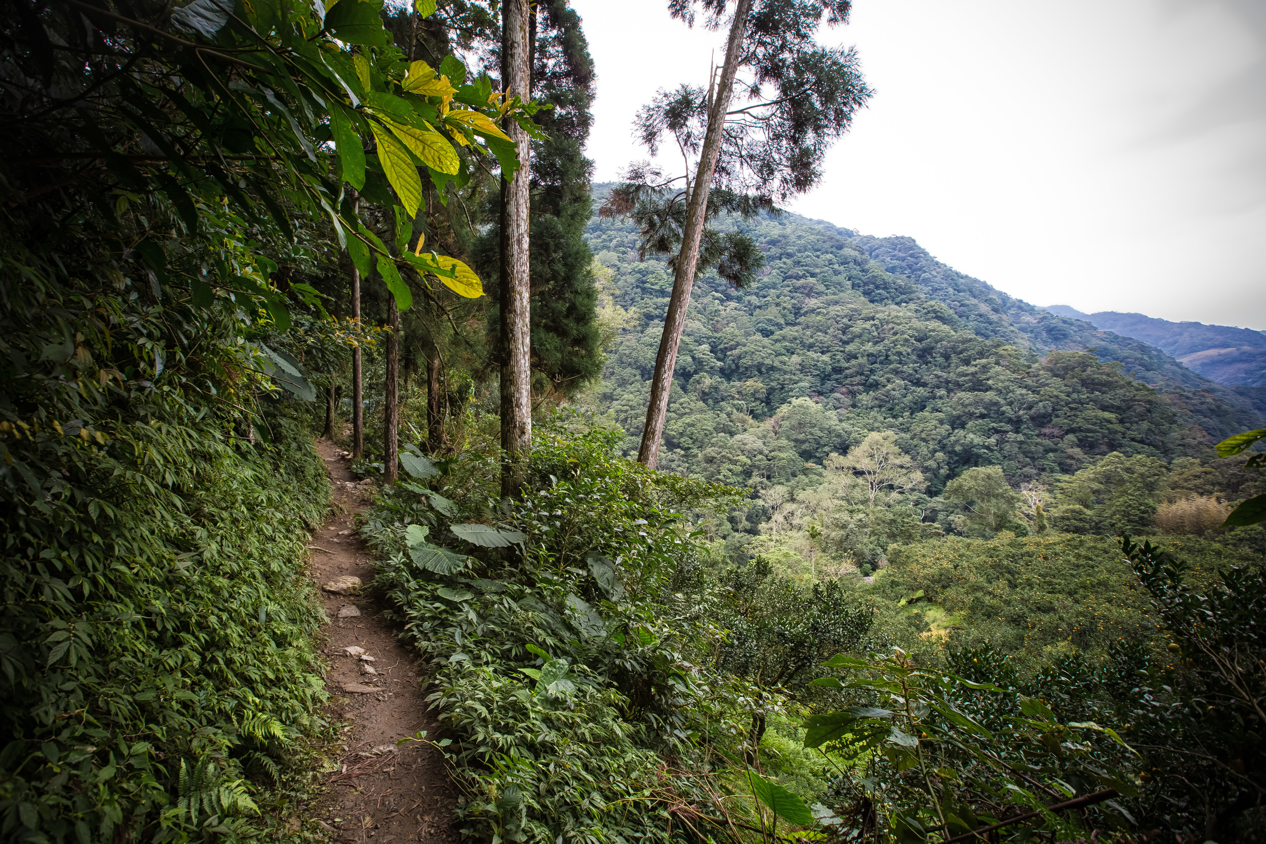
- The trail to the waterfall
The hike itself is very leisurely and takes about 30-40 minutes for the average hiker. I was in a bit of a hurry when I got there because it looked like it was about to rain, so from the trailhead to the waterfall, it took me only about 20 minutes.
The trail is nice and depending on the season you might randomly notice an orchard of tangerines in the river valley on your way to the falls.
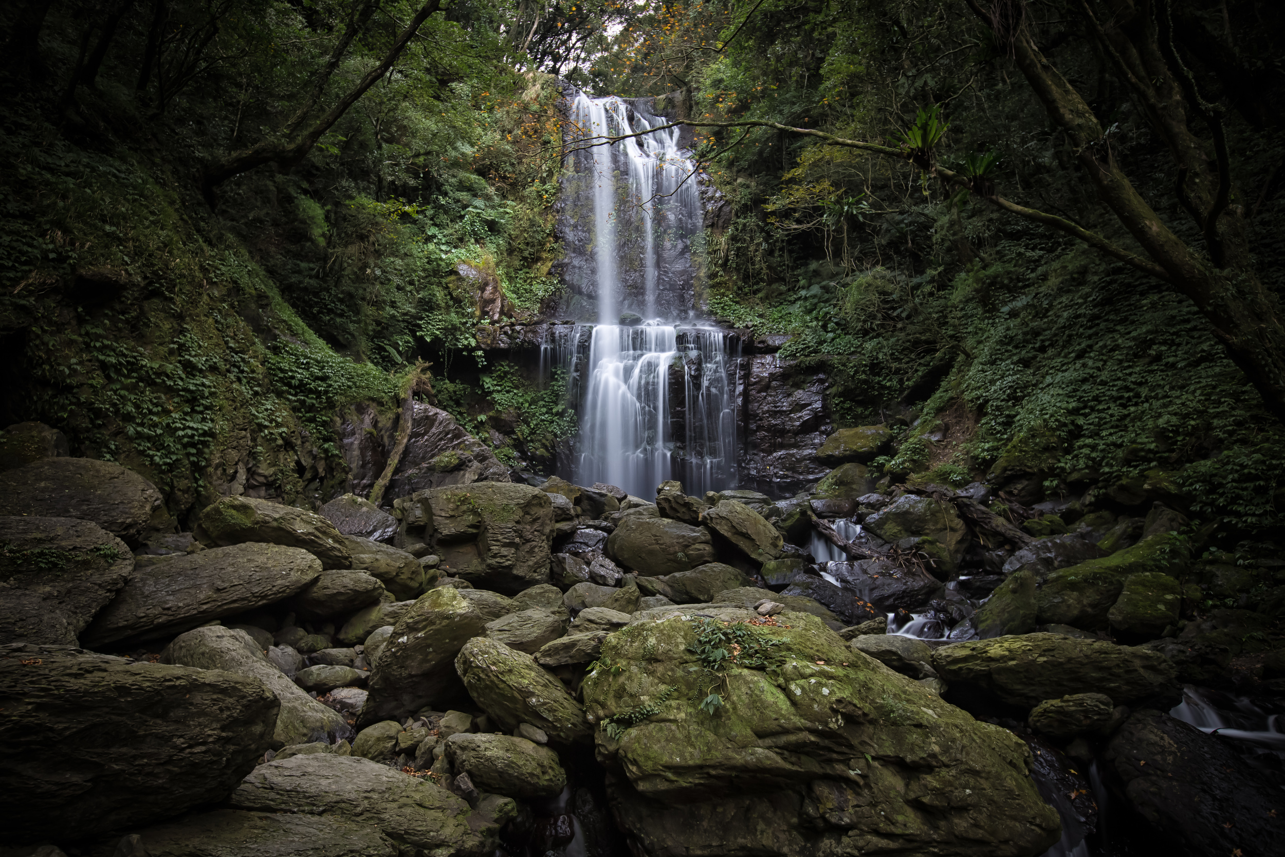
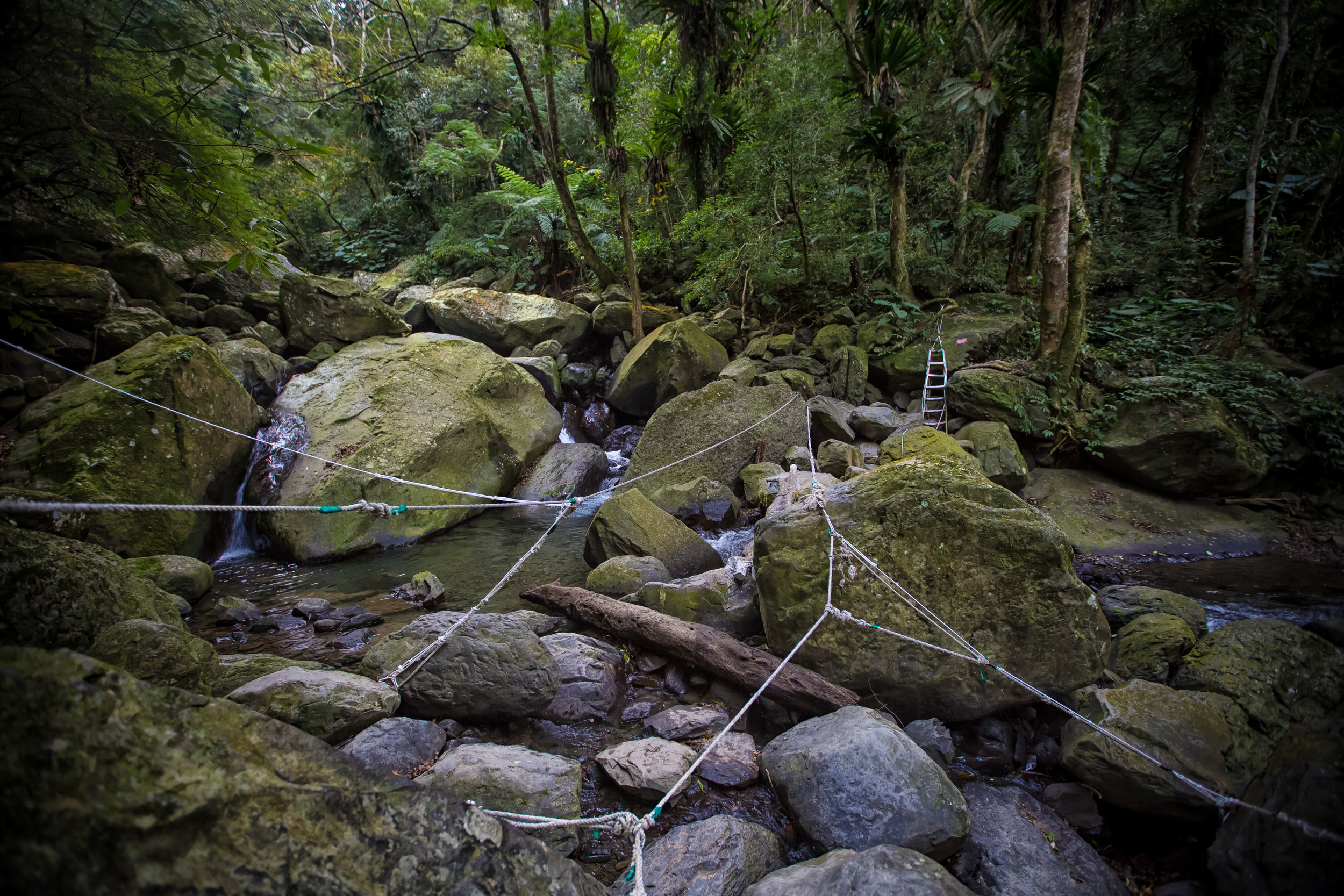
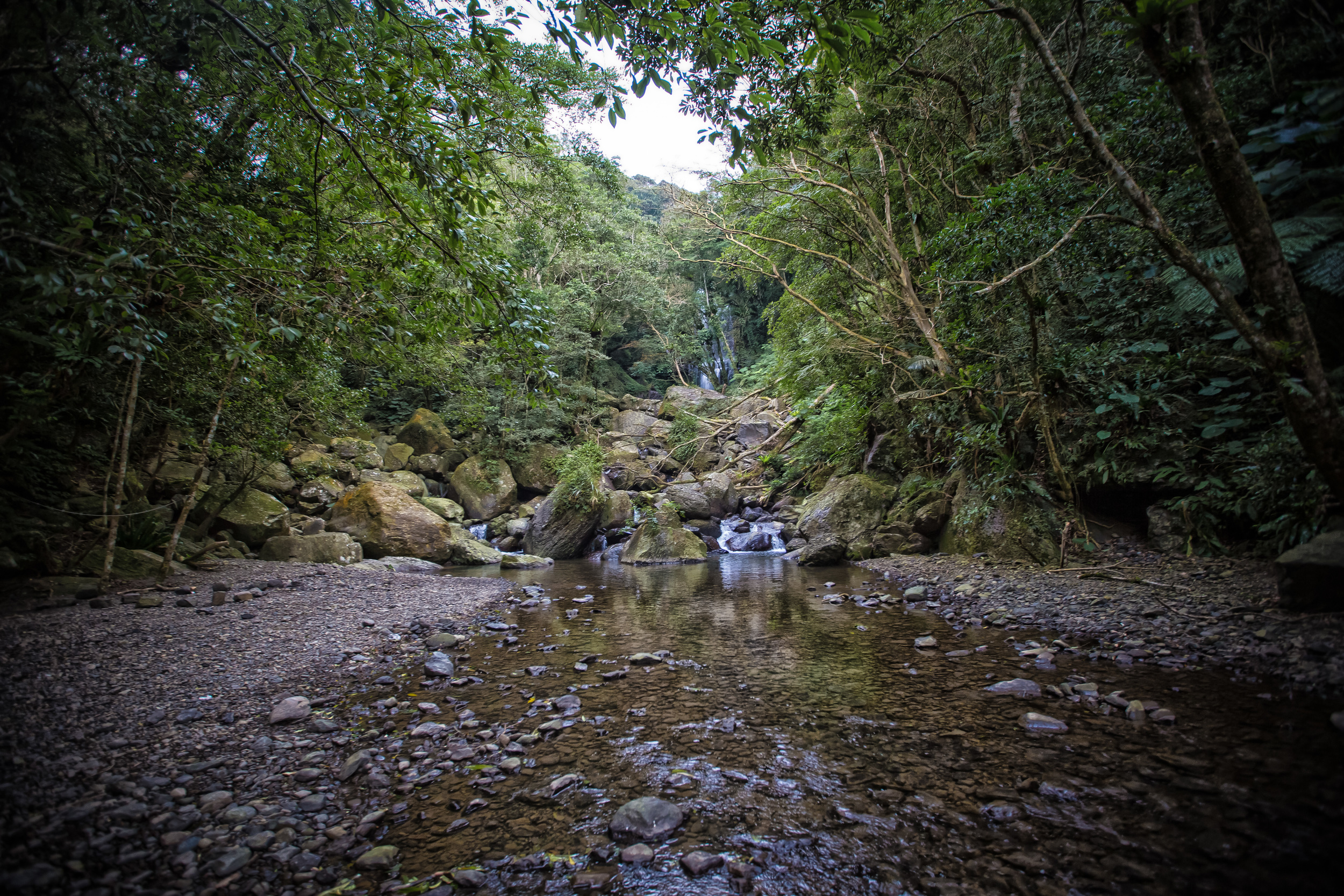
You eventually arrive at a clearing in the forest and pass a small stream that will take you to a rocky area. This area has painted arrows on massive rocks showing you the direction to take to the waterfall.
Before taking the next path to the waterfall, make sure to stop at the stream below to check out the waterfall from afar.
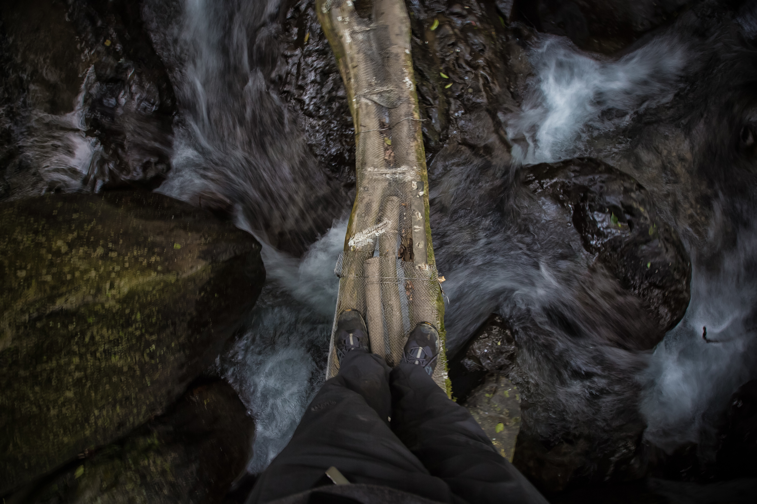
- Carefully walking over the river
The path to the waterfall is kind of cool. You make your way through a series of ropes, then a couple of logs lashed together over a river and then up a ladder which takes you to the base of the falls.
From this point you can continue to climb on another path, which I unfortunately didn’t have time for (but will be checking out in the future as I saw some hardcore hikers coming down from it)
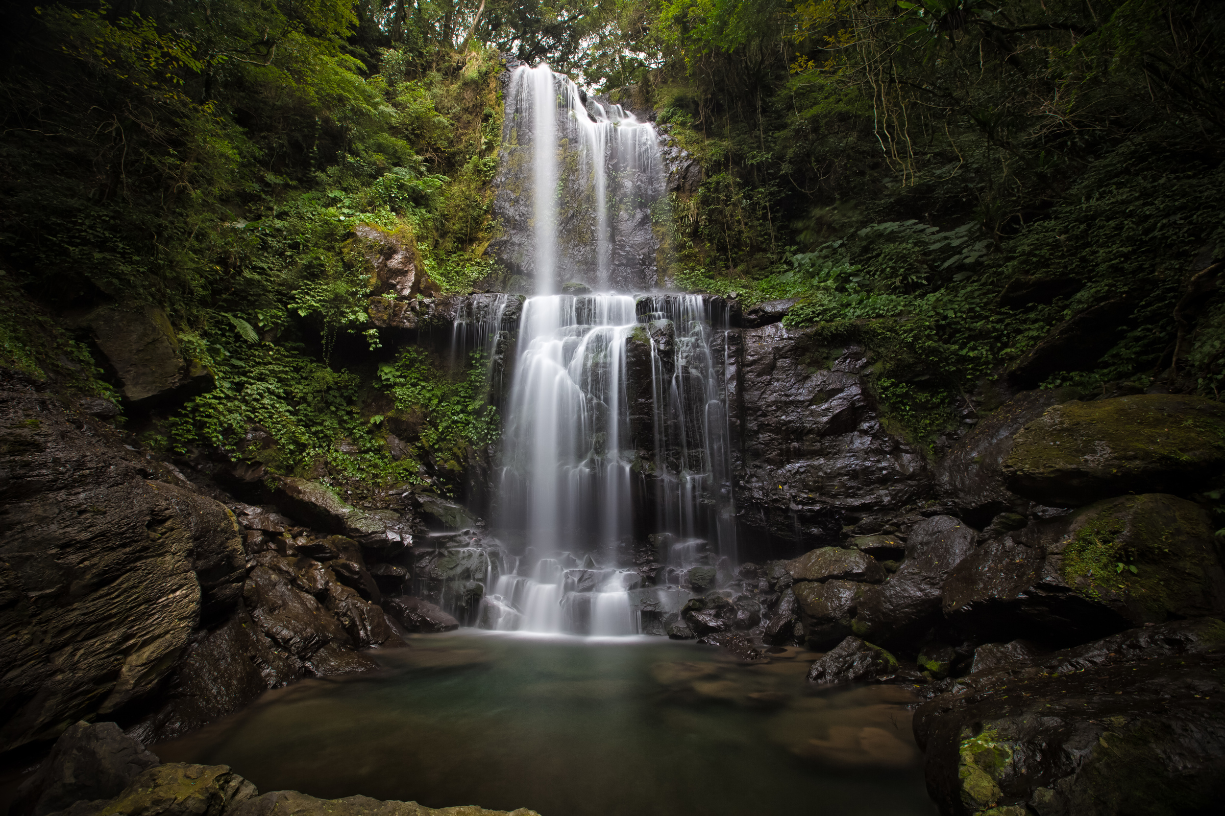
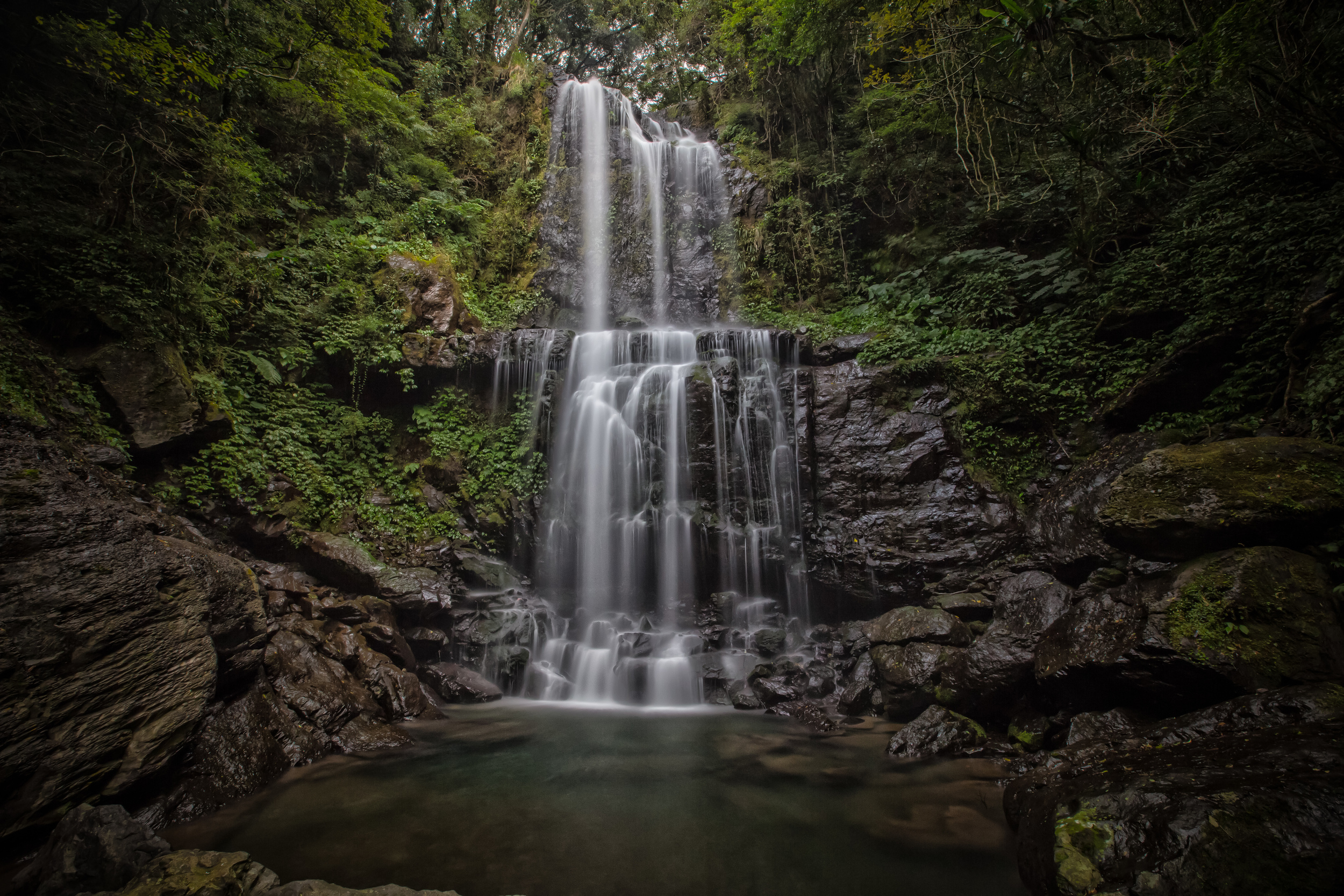
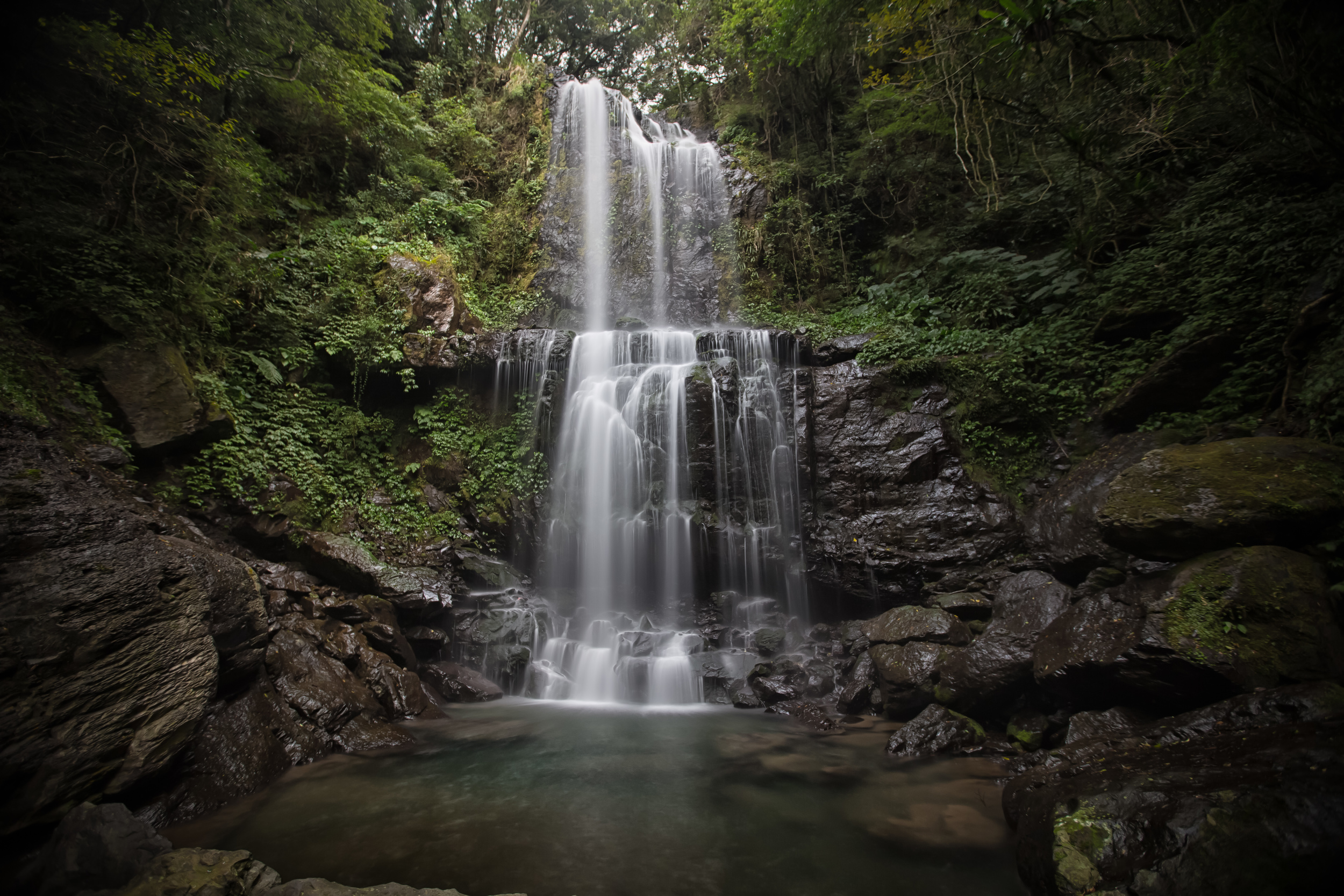
The waterfall isn’t as big as some other waterfalls in Taiwan, but you can easily get close to the base and in the summer, you can safely take a dip in the pool at the base (which I will be sure to do this summer)
- 雲森瀑布
The Cloud-Forest waterfall isn’t the easiest to get to transportation-wise but as far as hiking goes, its one of the easiest trails to take to see a waterfall. You can easily take children or your dog for a walk. If you have a car or a scooter handy, I recommend checking out this waterfall, and if its summer time, make sure to bring a towel and some swimming trunks to enjoy the pool.
Google Map Directions to the Waterfall
Gallery / Flickr (High Res Shots)