Oxararfoss

Crater Kerið

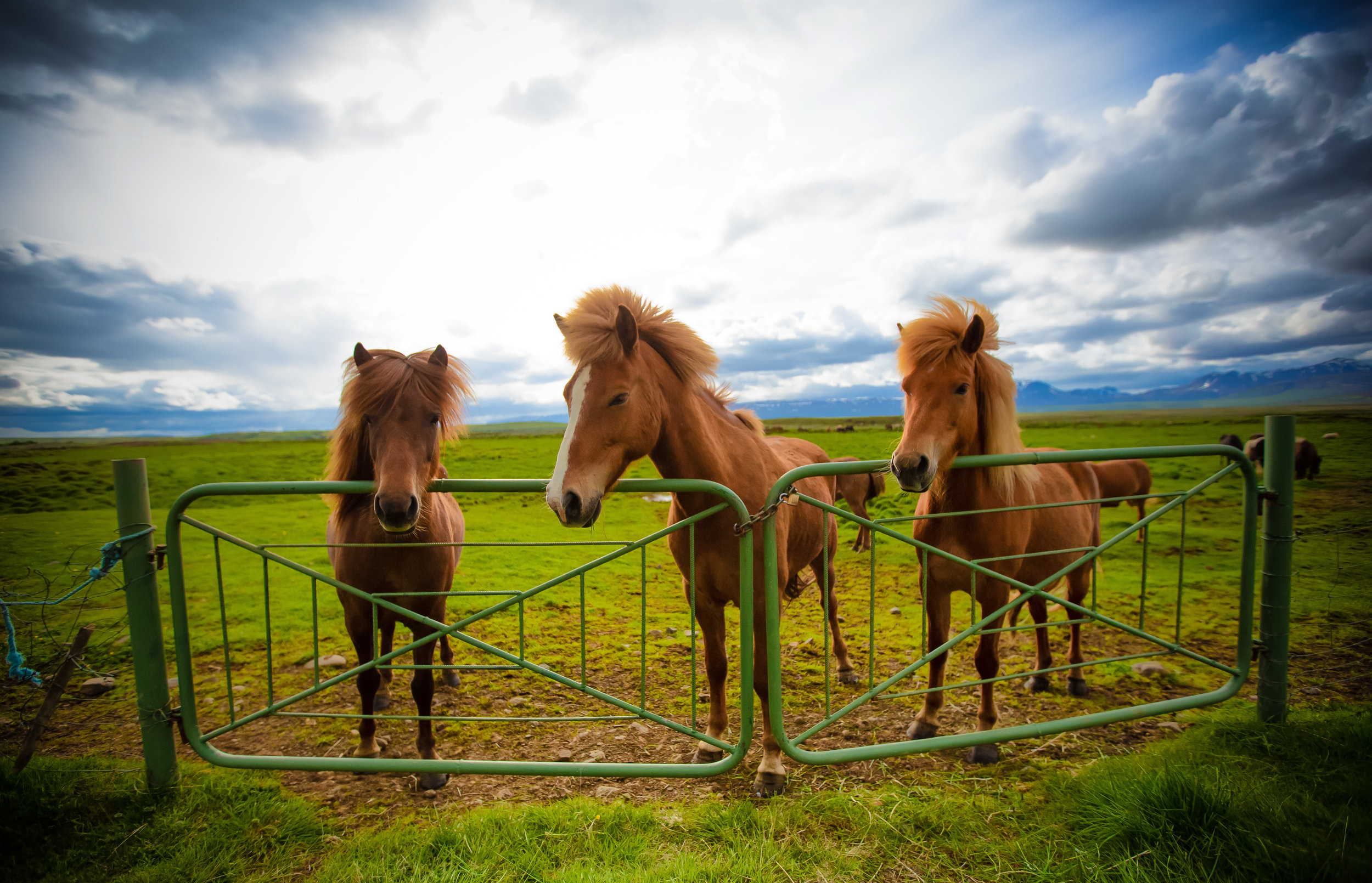
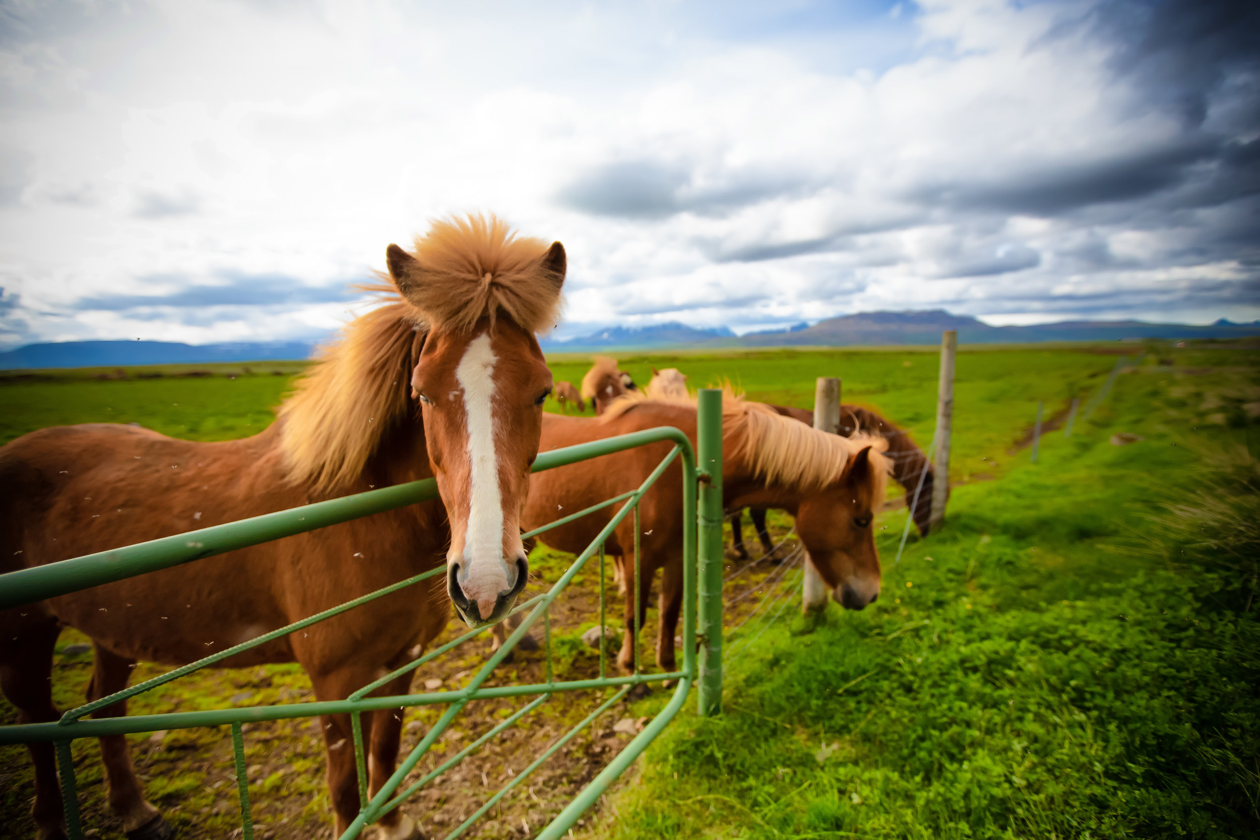
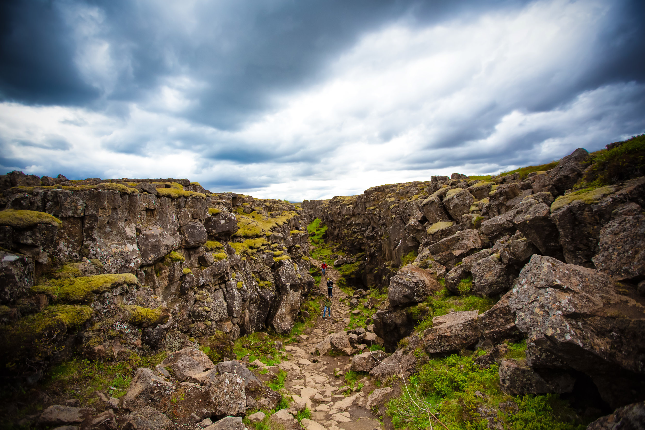
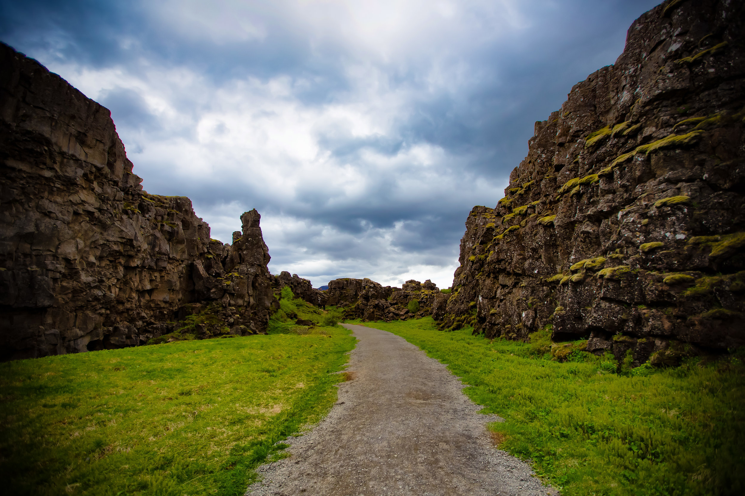
Travelling along Iceland’s popular Golden Circle you’re going to be treated to some of the country’s most spectacular scenery in what is widely known as an extremely geologically-active environment. The Golden Circle is home to geysers, hot spring baths and spectacular geological beauty formed by hundreds of thousands of years of volcanic activity.

More significant to the people of Iceland though is that the geothermal environment that attracts its fair share of tourism has also been harnessed to generate clean electricity providing around 90% of the population with hot water and heating. With the remainder of Iceland’s electricity generated by hydro power, the country has been able to successfully reduce its reliance on fossil fuels to less than 1% of their total electricity production.

The ability to harness the earth’s natural power in such a significant way however comes with the knowledge that at any given time disaster may strike in the form of an earthquake or volcanic eruption.

Iceland is currently home to around 130 active (and inactive) volcanoes which directly contribute to the constantly changing nature of the country’s natural environment.

In 2010 for example, the relatively small eruption at Eyjafjallajökull caused massive disruptions to air travel around Europe and North America thanks to the tons of volcanic ash that it spewed for a period of six days.

What happens though when a volcanic eruption is too powerful?  

In some cases a powerful eruption has the ability to completely collapse all the land around it forming a circular volcanic crater known to geologists as a caldera.

Iceland is home to quite a few of these craters, especially in the Western Volcanic Zone, and a few of them have become popular tourist attractions.

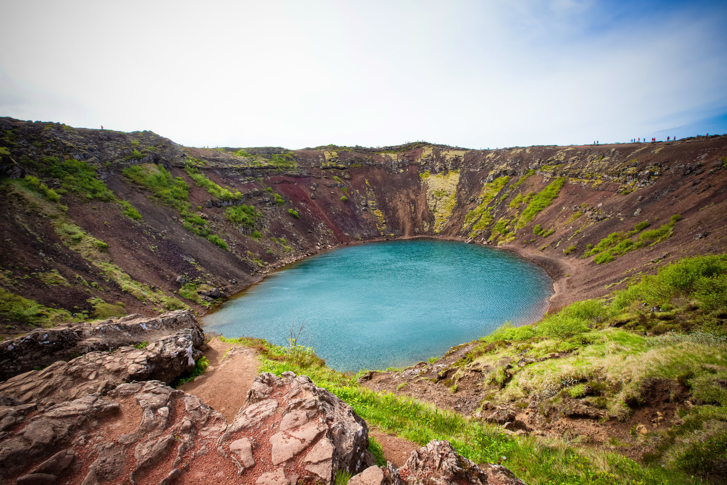
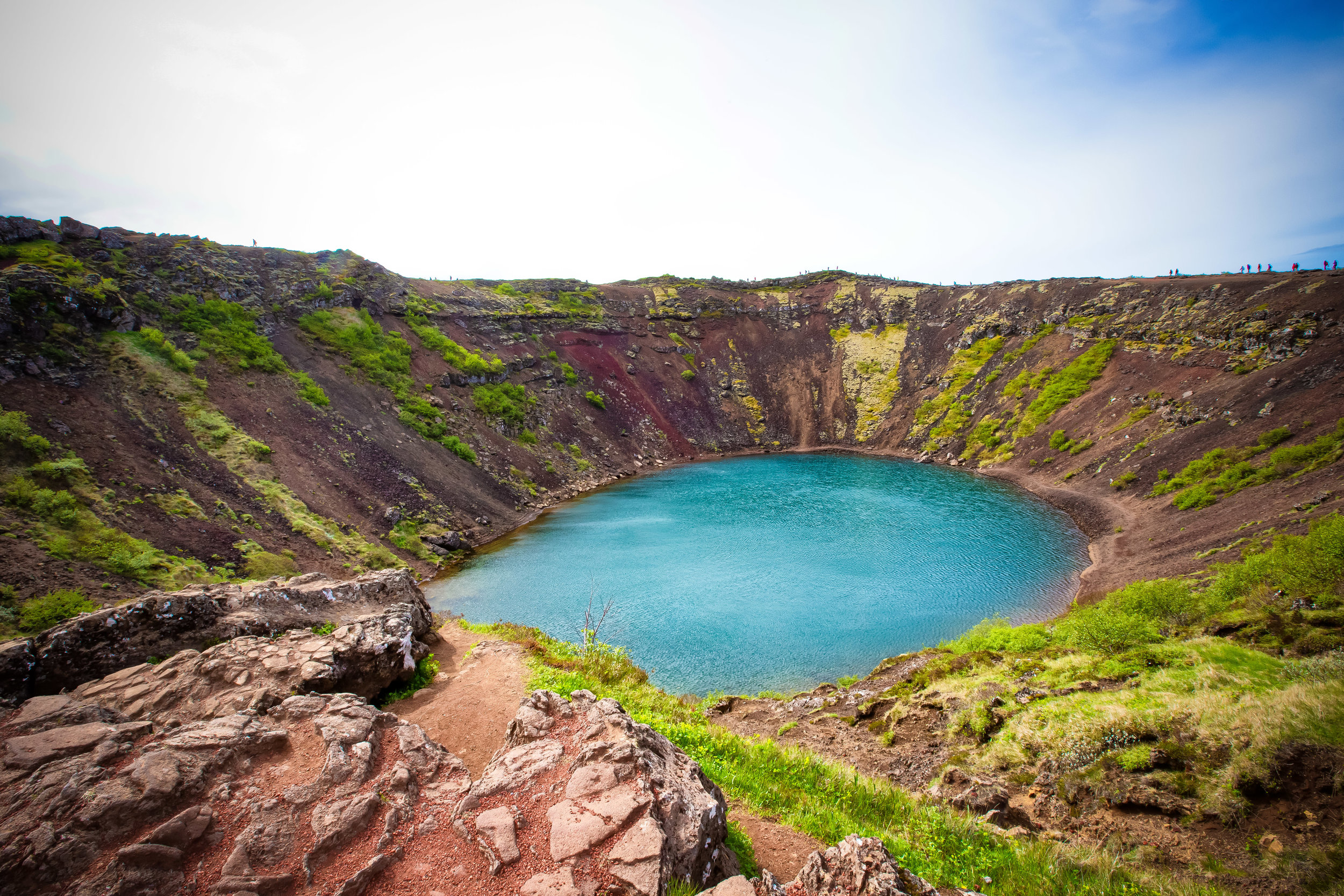
Most notable of those is ‘Crater Kerið’ in Southern Iceland which now serves as a popular destination for tourists along the Golden Circle route to see first-hand the awesome power of the Earth’s destructive capabilities.
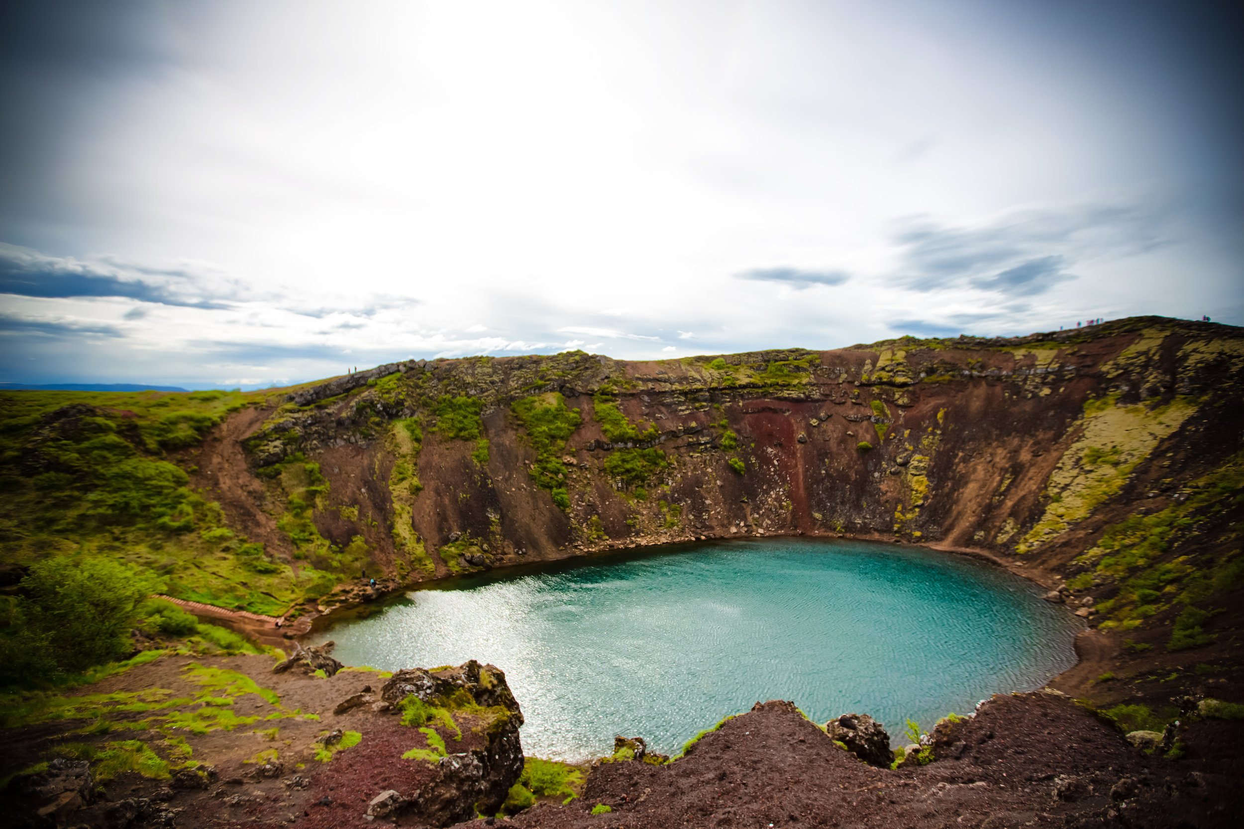
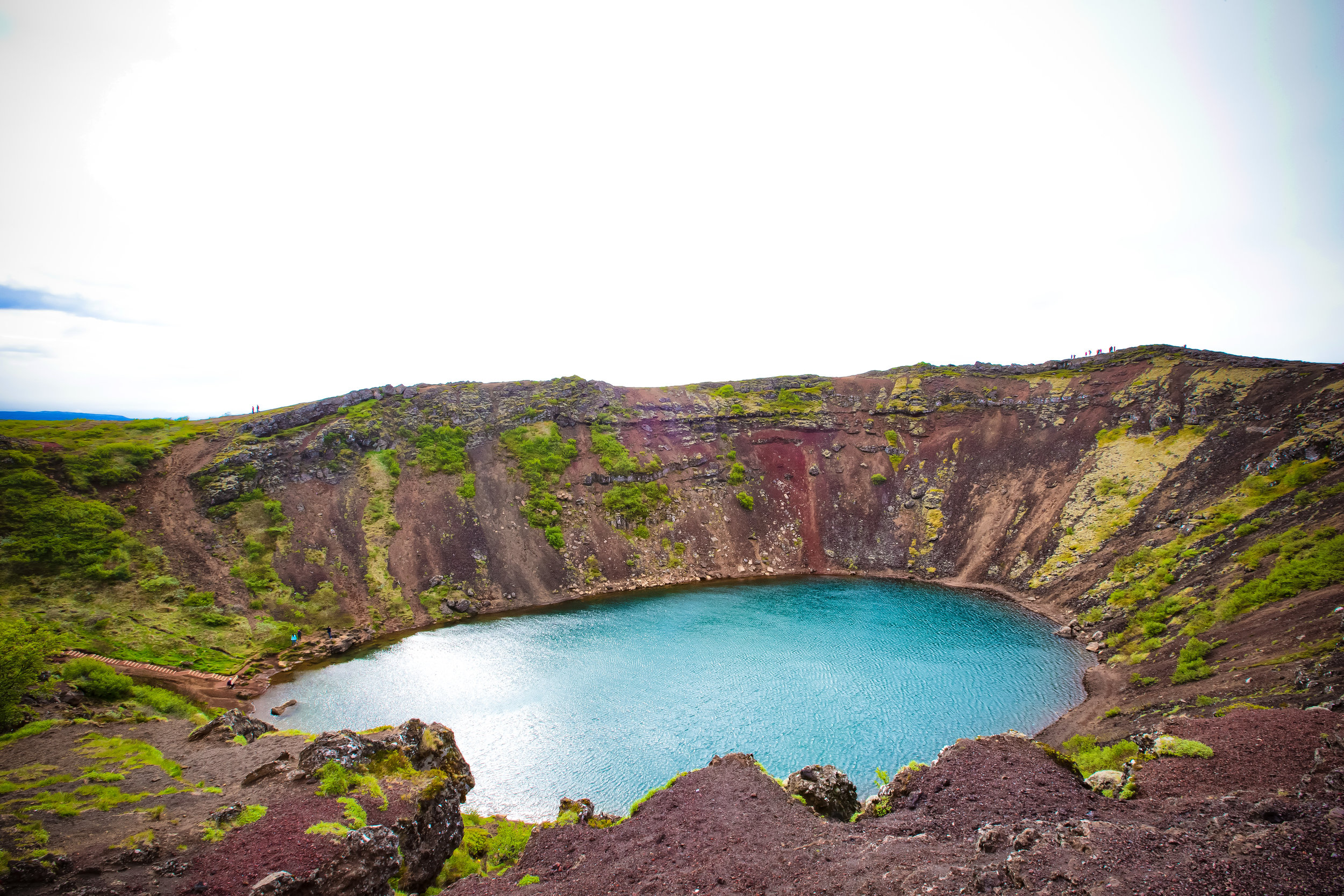
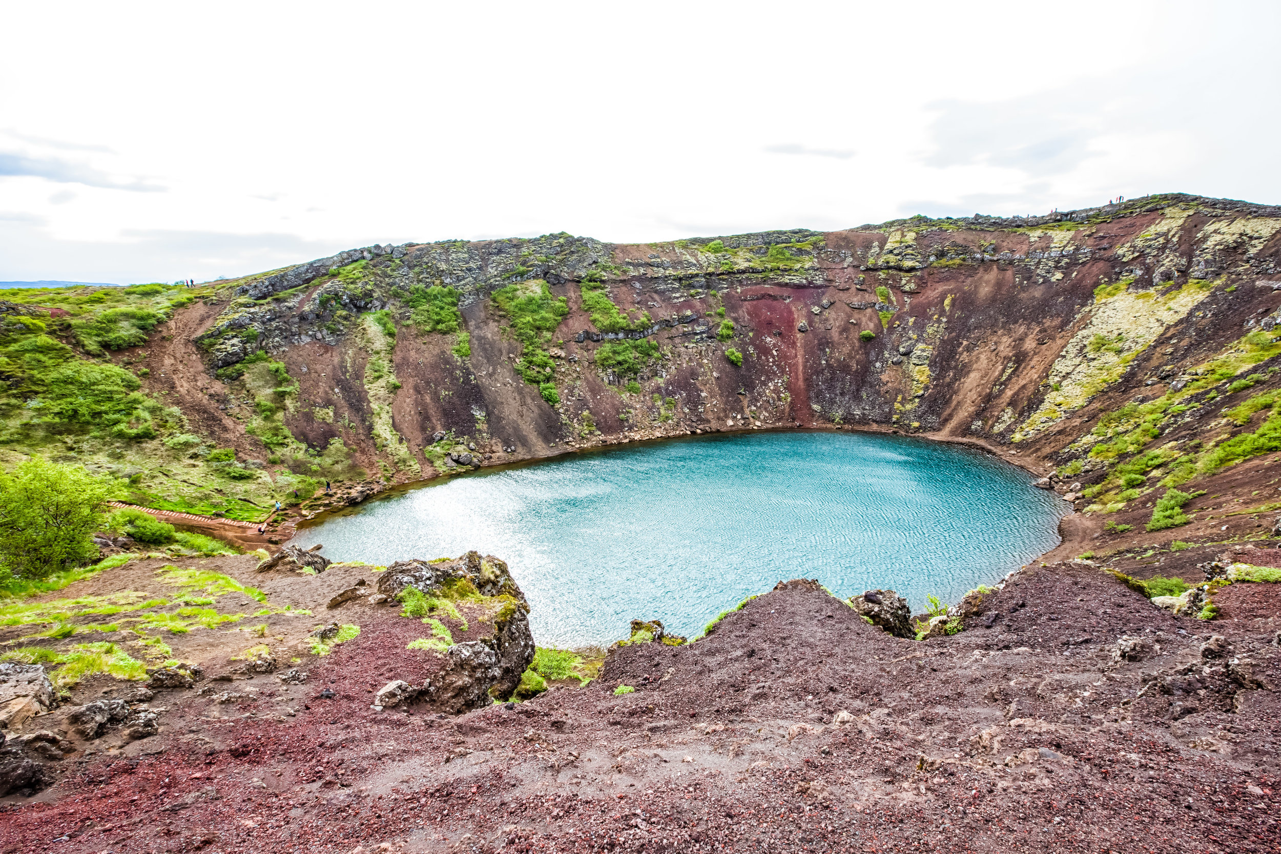
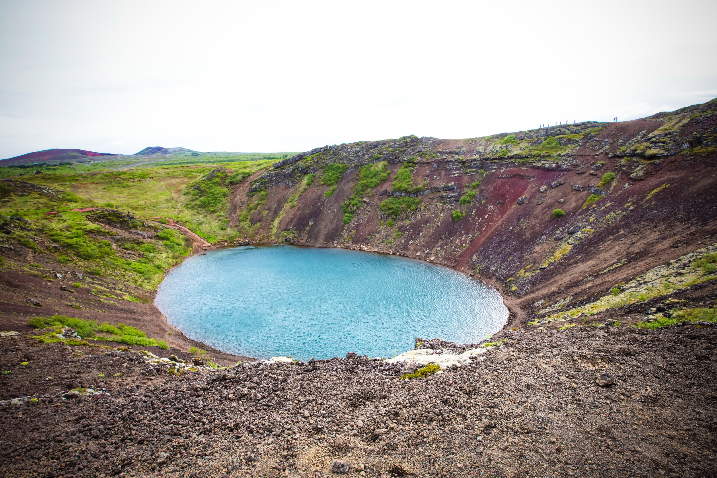
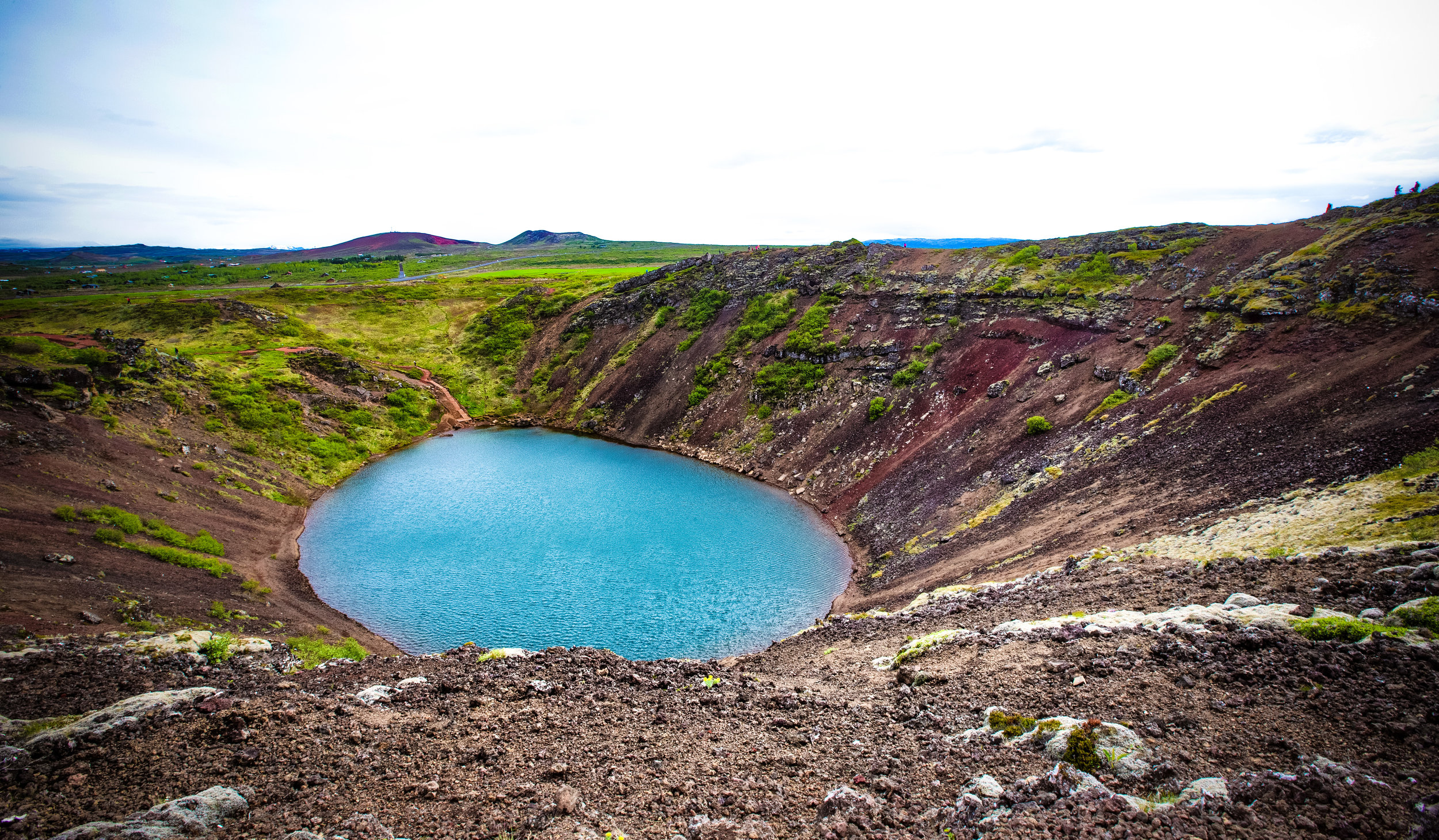
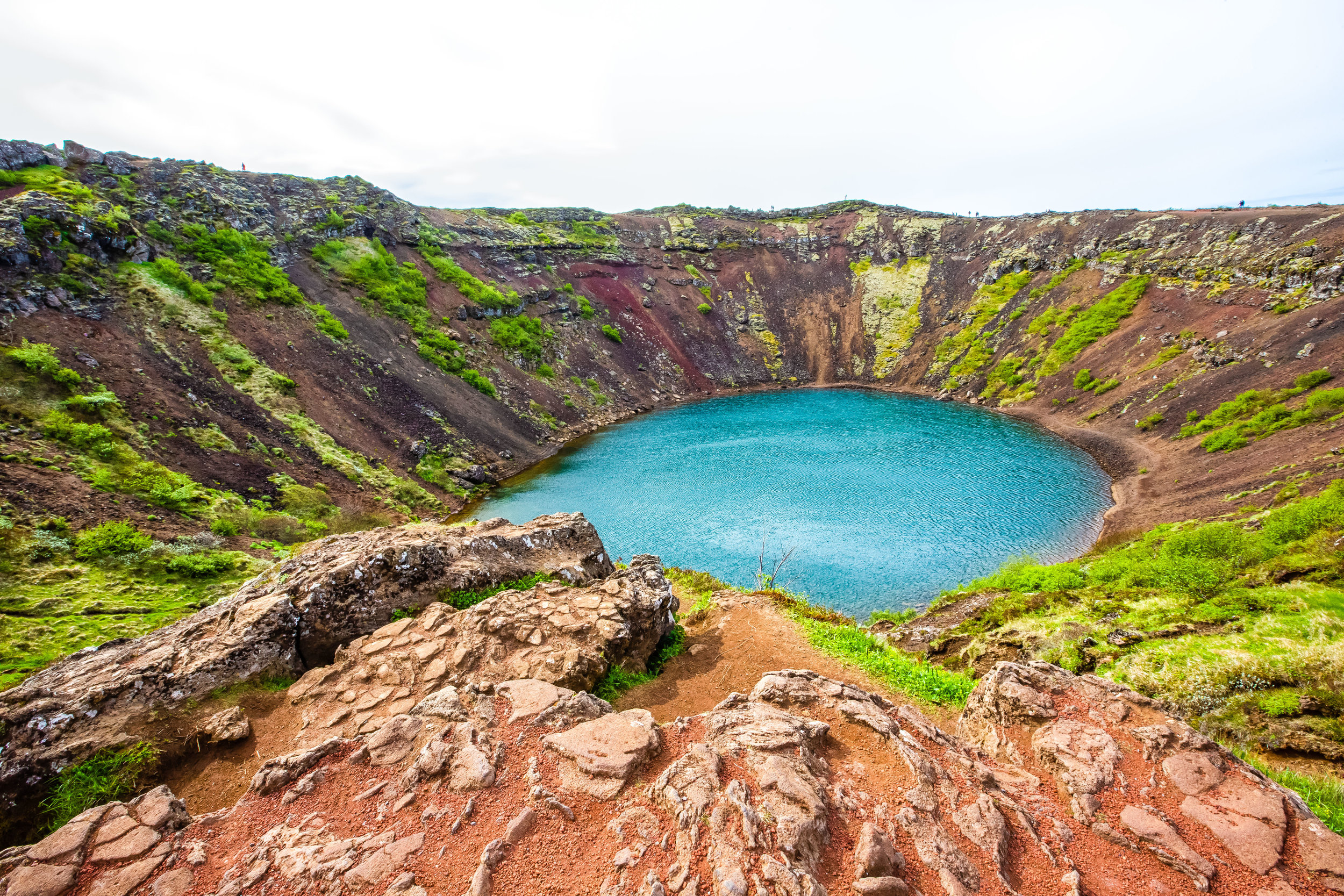
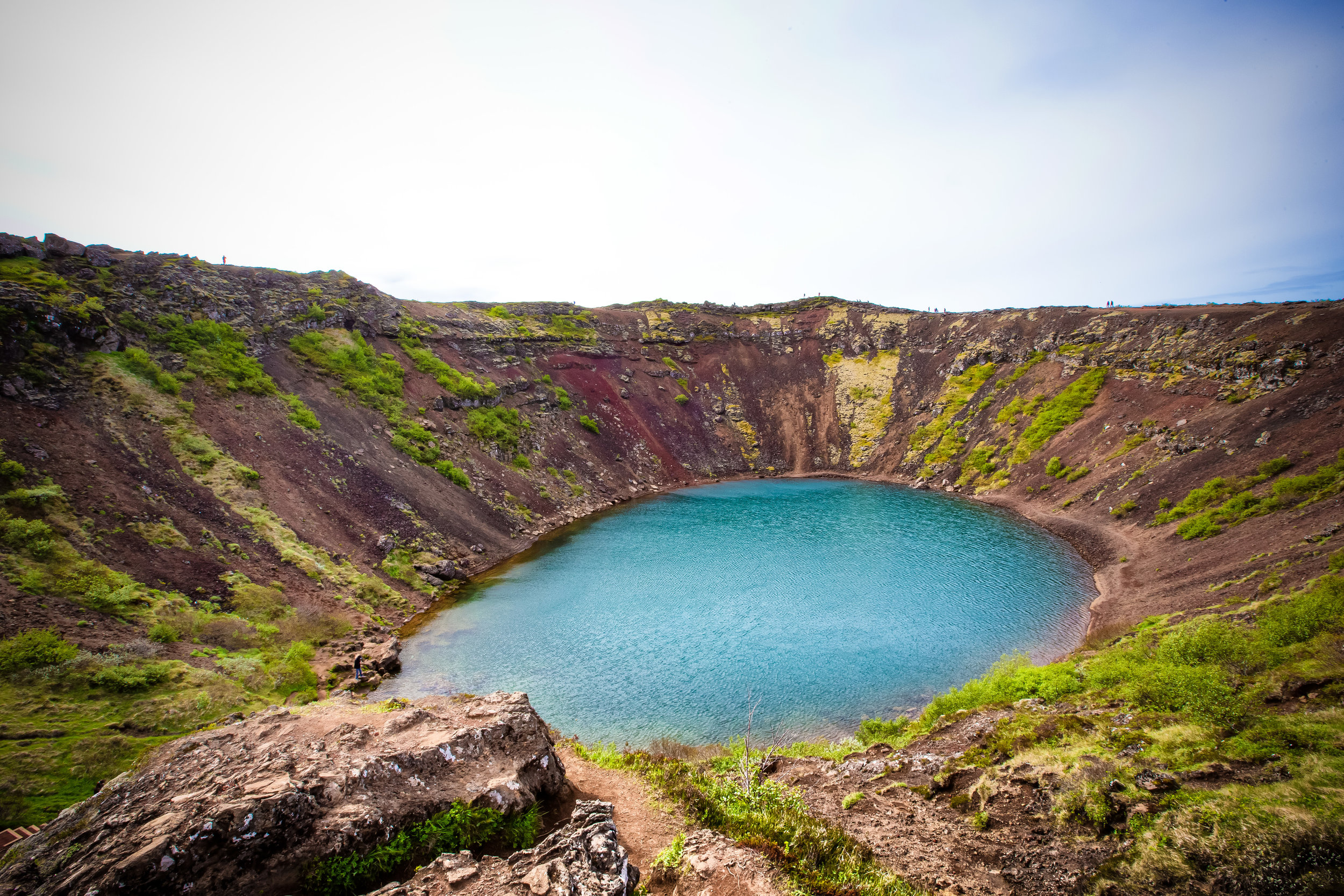
Crater Kerið

The massive volcanic crater known as Crater Kerið (Pronounced: Kerith or Kerid) is one of Iceland’s youngest at an estimated age of around 3000 years but is well regarded for its visibly recognizable caldera.

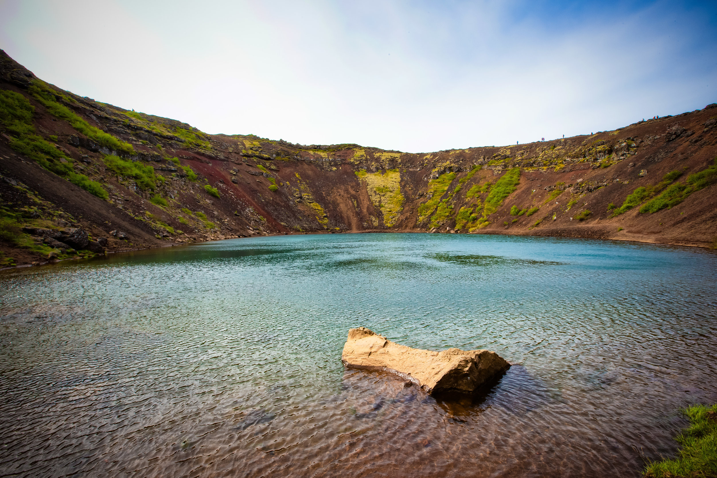
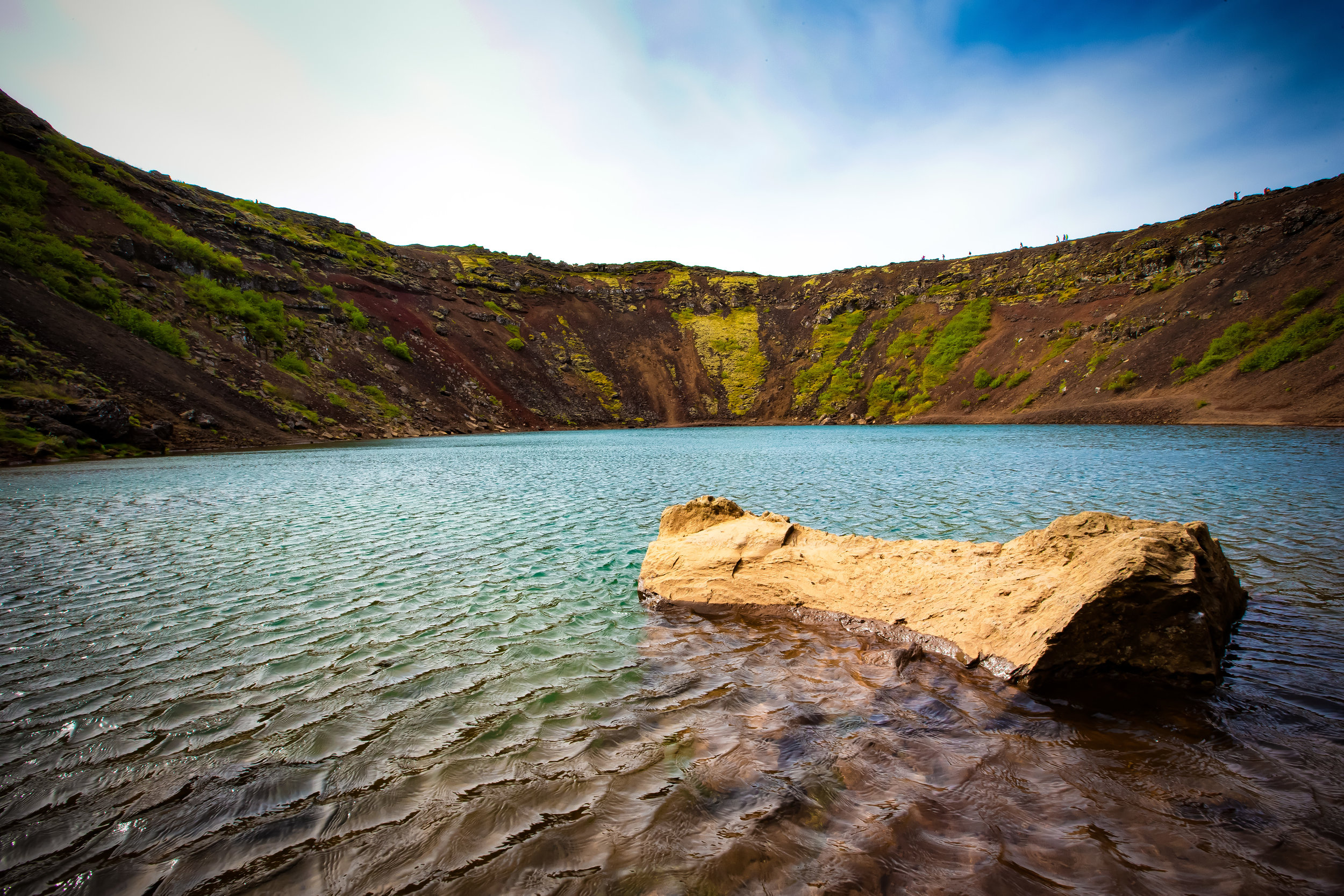
Despite its relative youth, the crater has become a popular tourist attraction for its picturesque steep walls of red volcanic rock, aqua-blue crater lake and its convenient location next to the highway.

The crater measures 55 meters (180 ft) deep, 170 meters (560 ft) wide and 270 meters (890 ft) across. The depth of the crater lake tends to vary by season but is generally 7-14 meters deep.

It was originally thought that the crater was formed by a huge volcanic explosion, which is common with most craters of this kind. Upon further study however Scientists found no evidence of such an eruption in the area.

This discovery has led to the current theory that Kerið was once a cone-shaped volcano which erupted and ultimately imploded upon itself.

Scientists believe the eruption was a minor one (occurring around 6000 years ago) but resulted in the volcano depleting its underground magma reserve. The weight of the magma once on the surface collapsed the volcano forming the crater that we see today.

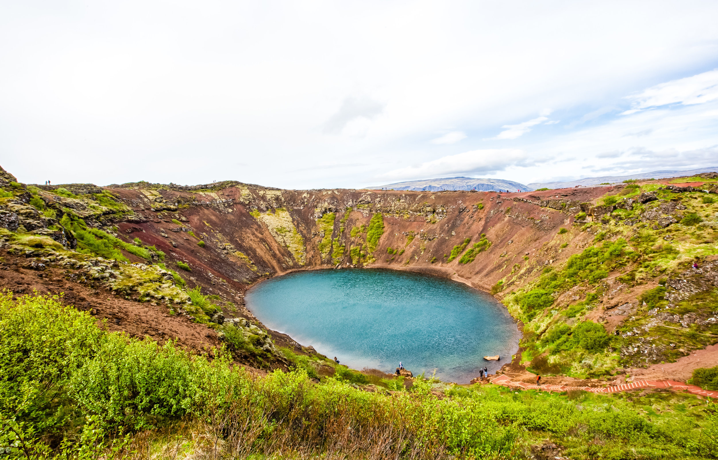
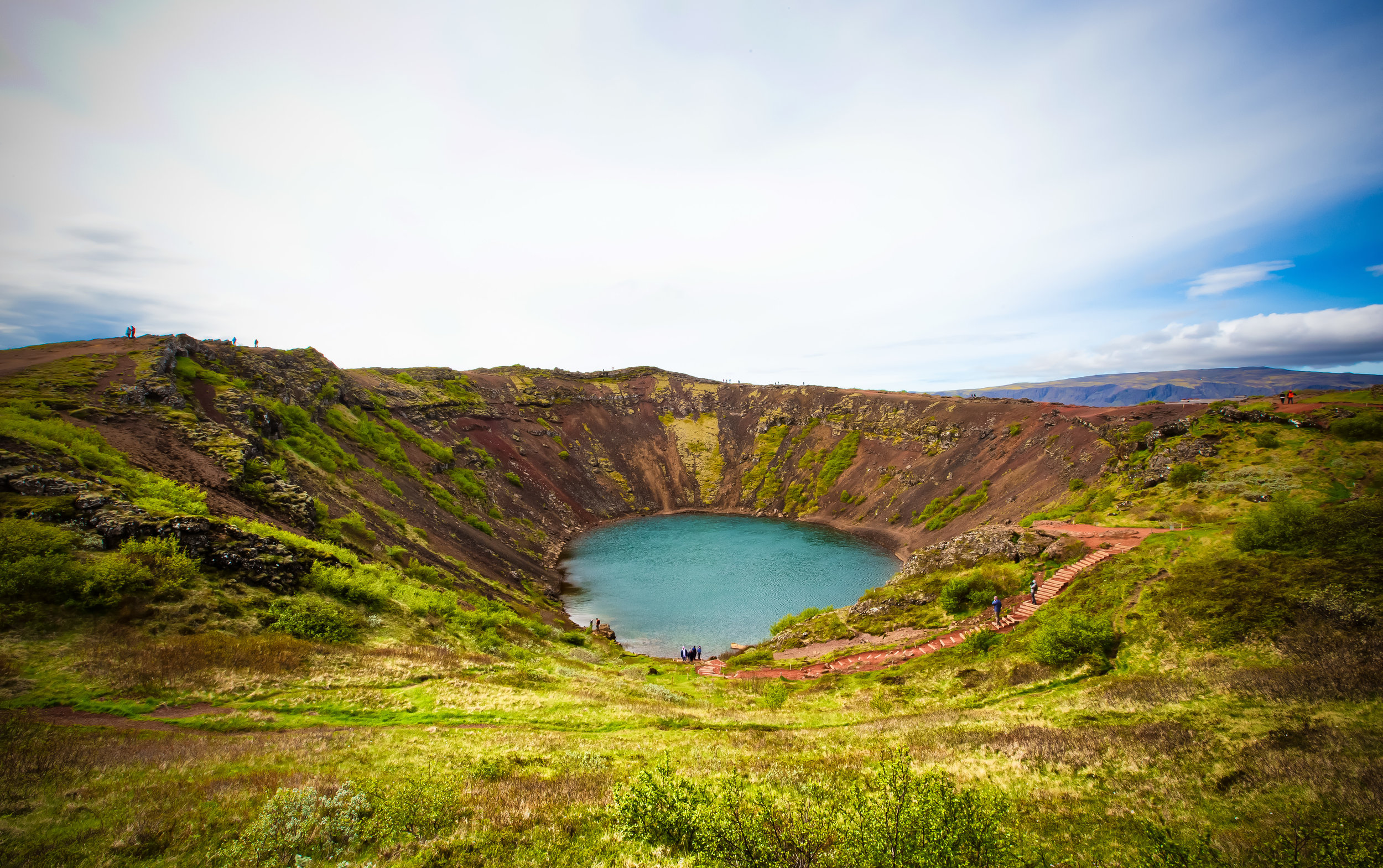
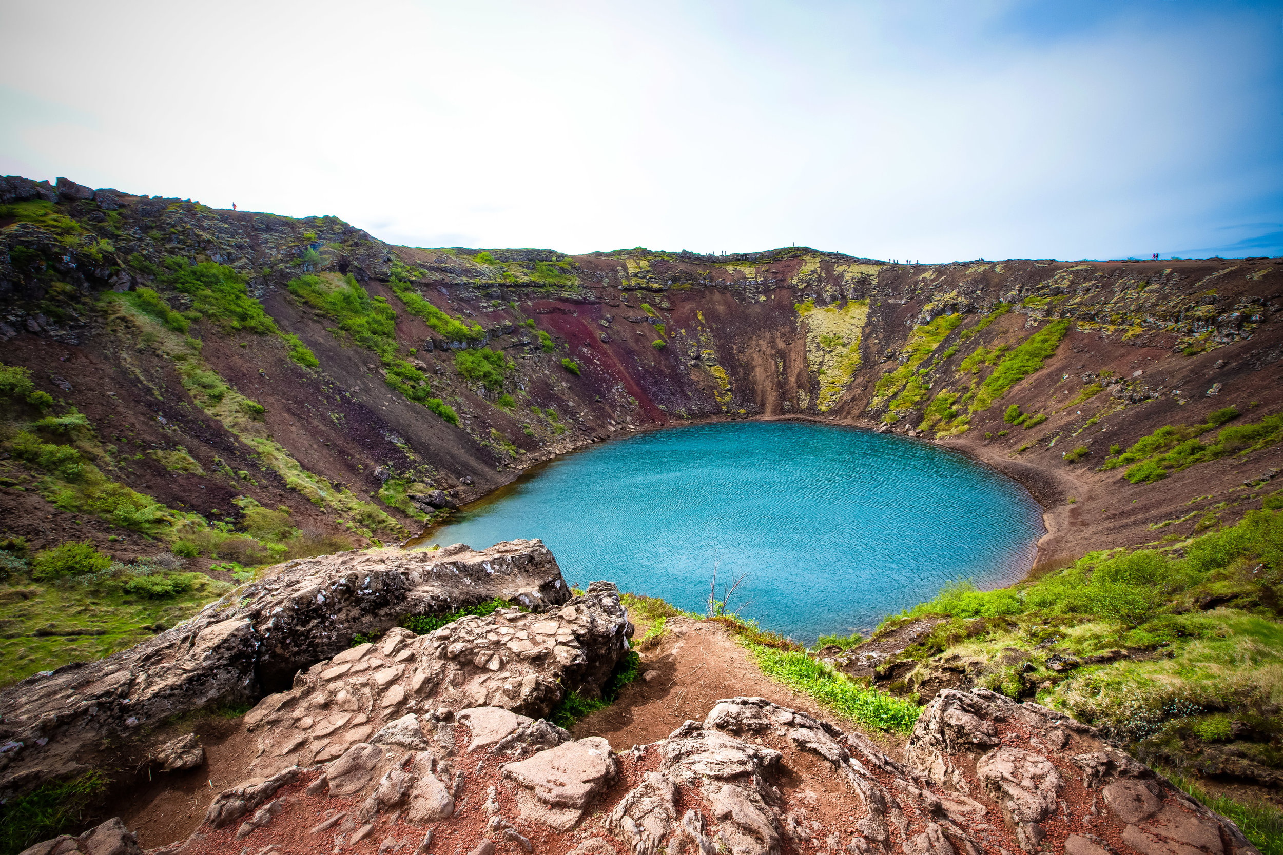
Conditions at the crater tend to vary by season - In the summer, visitors are treated to a colourful crater lake that reflects the sky with volcanic-red crater walls covered in beautiful green moss that blends in with a green valley for as far as the eye can see.

In winter on the other hand, the crater walls are often covered with snow and the lake freezes. If you’re there at the right time of day, it is said to be an amazing location for viewing the Northern Lights.

No matter what time of the year you visit, you will be treated to beautiful views of the surrounding landscape while walking the perimeter of the massive crater.

The landowners have set up a well-maintained path which allows visitors to completely circle the crater as well as allowing you to walk down to water-level of the crater lake.

If you are travelling to the crater in winter, be sure to wear proper footwear and a warm coat. If you are visiting in summer you may not need that warm coat or winter boots, but you’ll definitely need a windbreaker to protect yourself from the wind in the valley.

Getting There


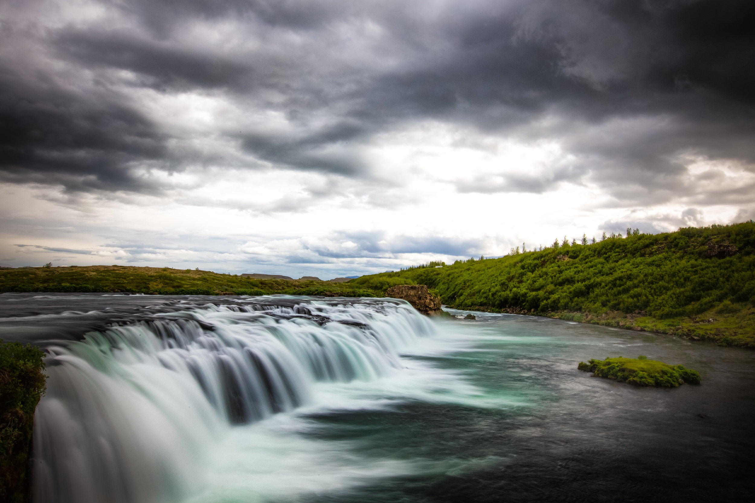
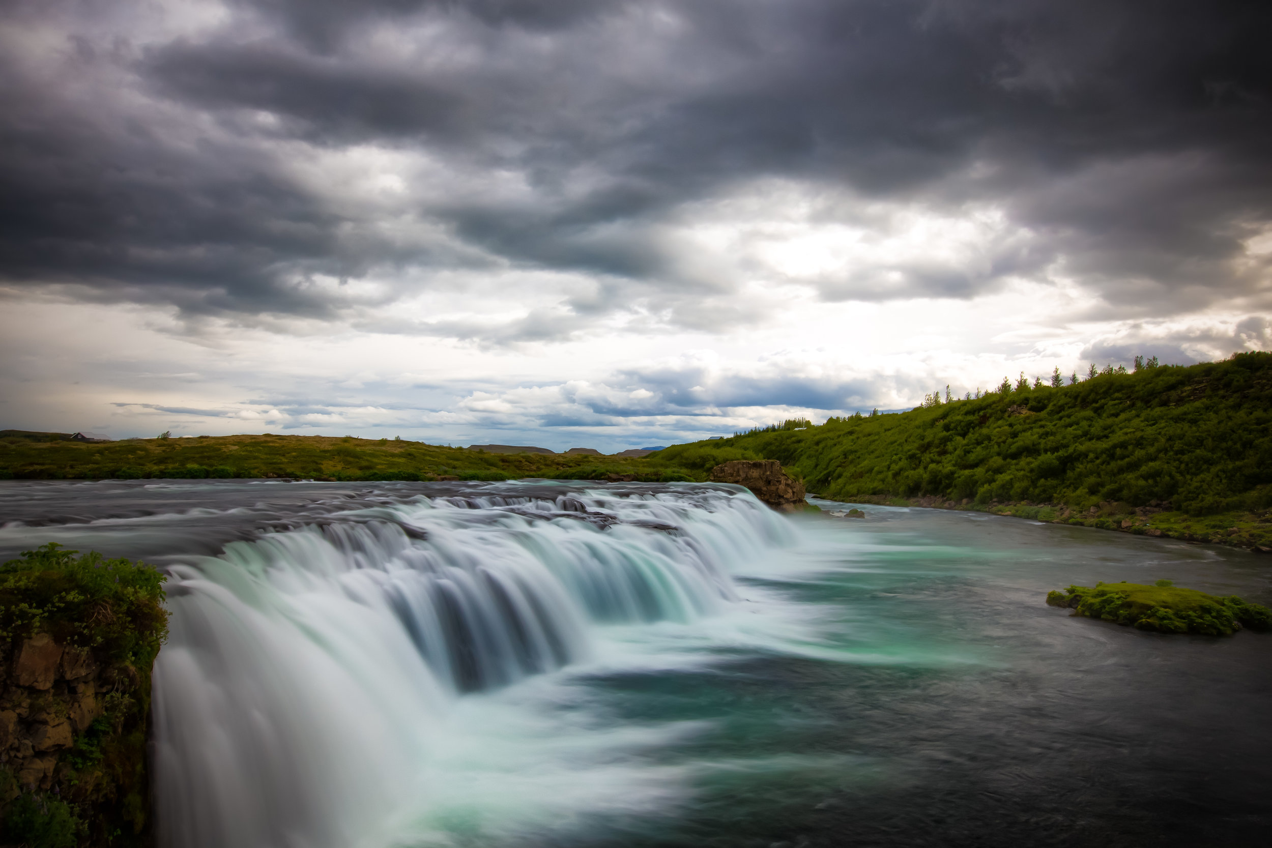
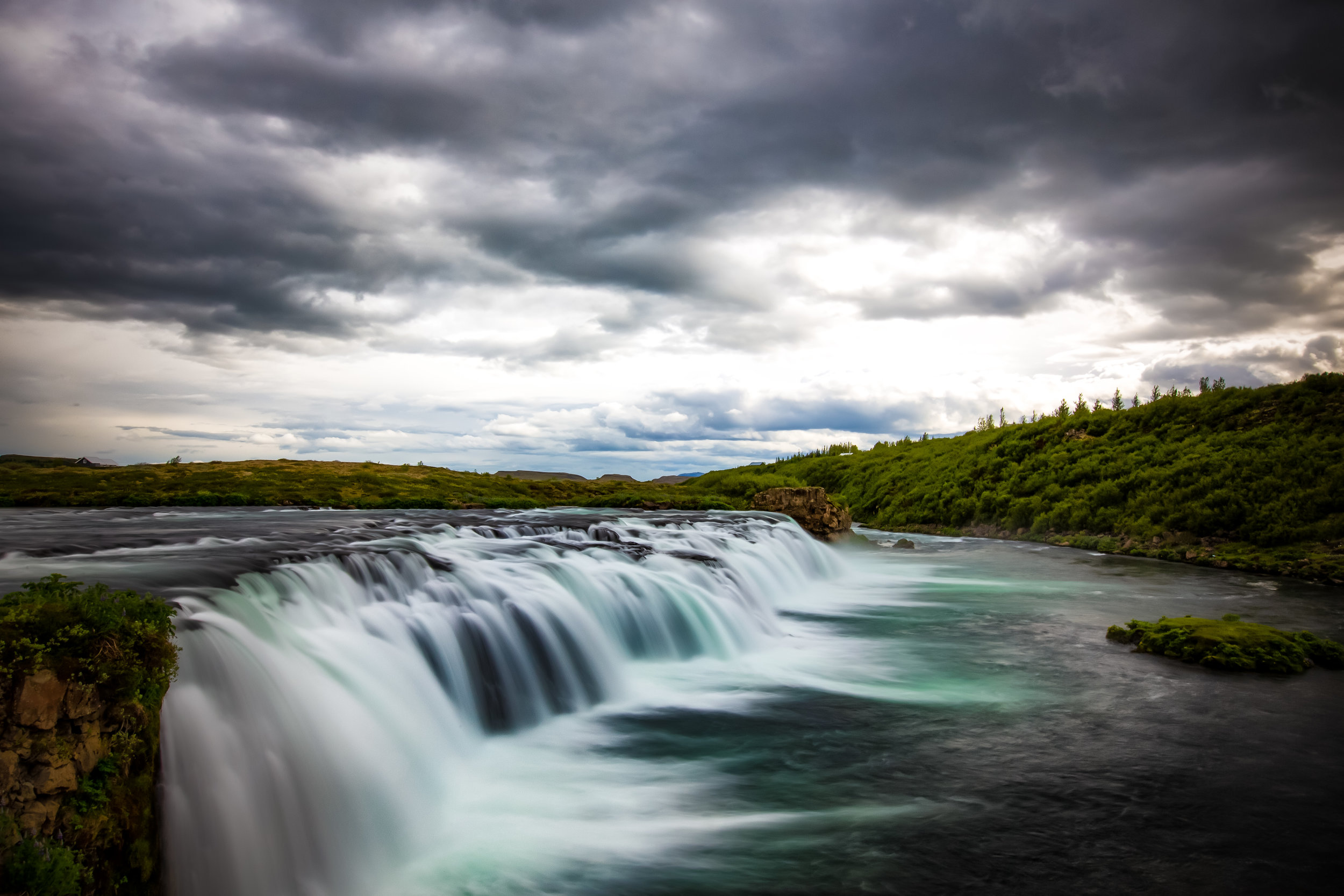
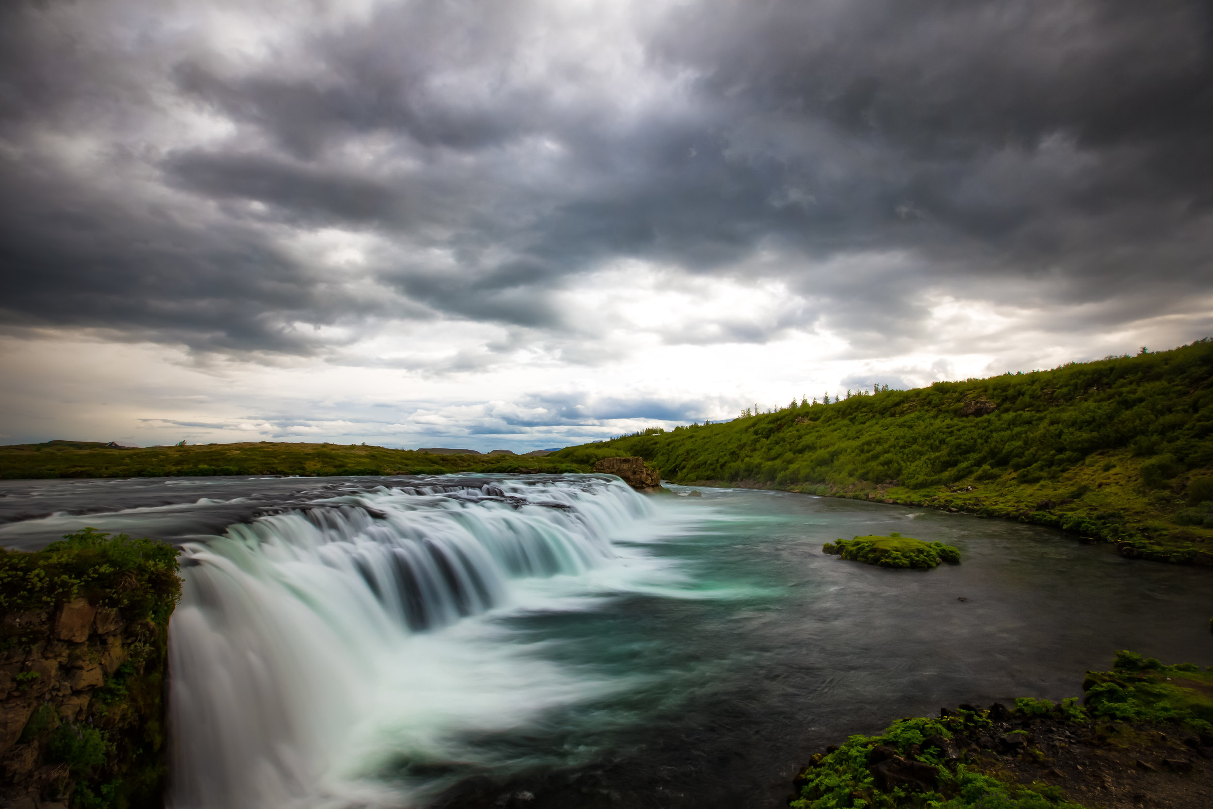
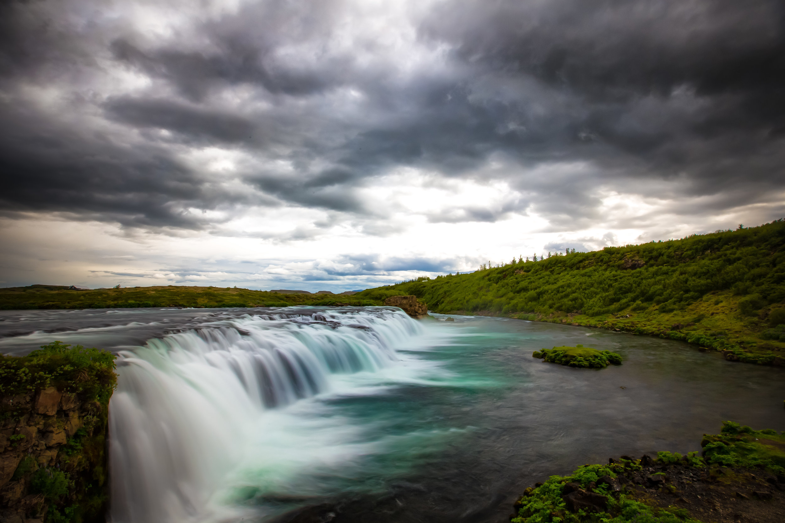
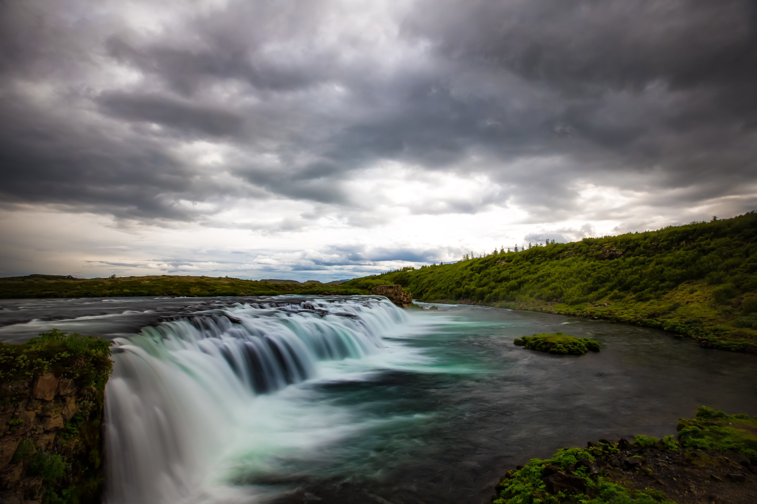
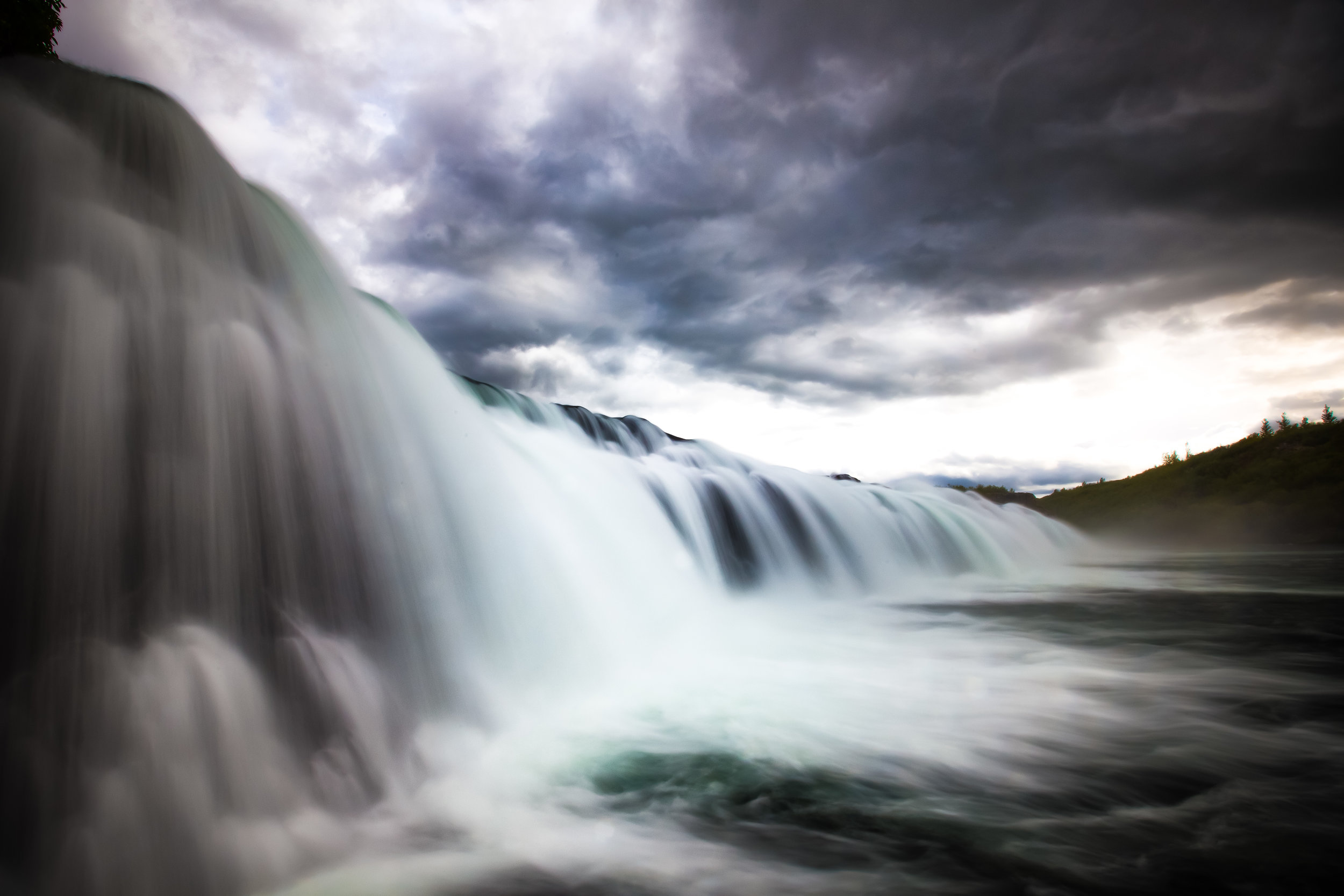
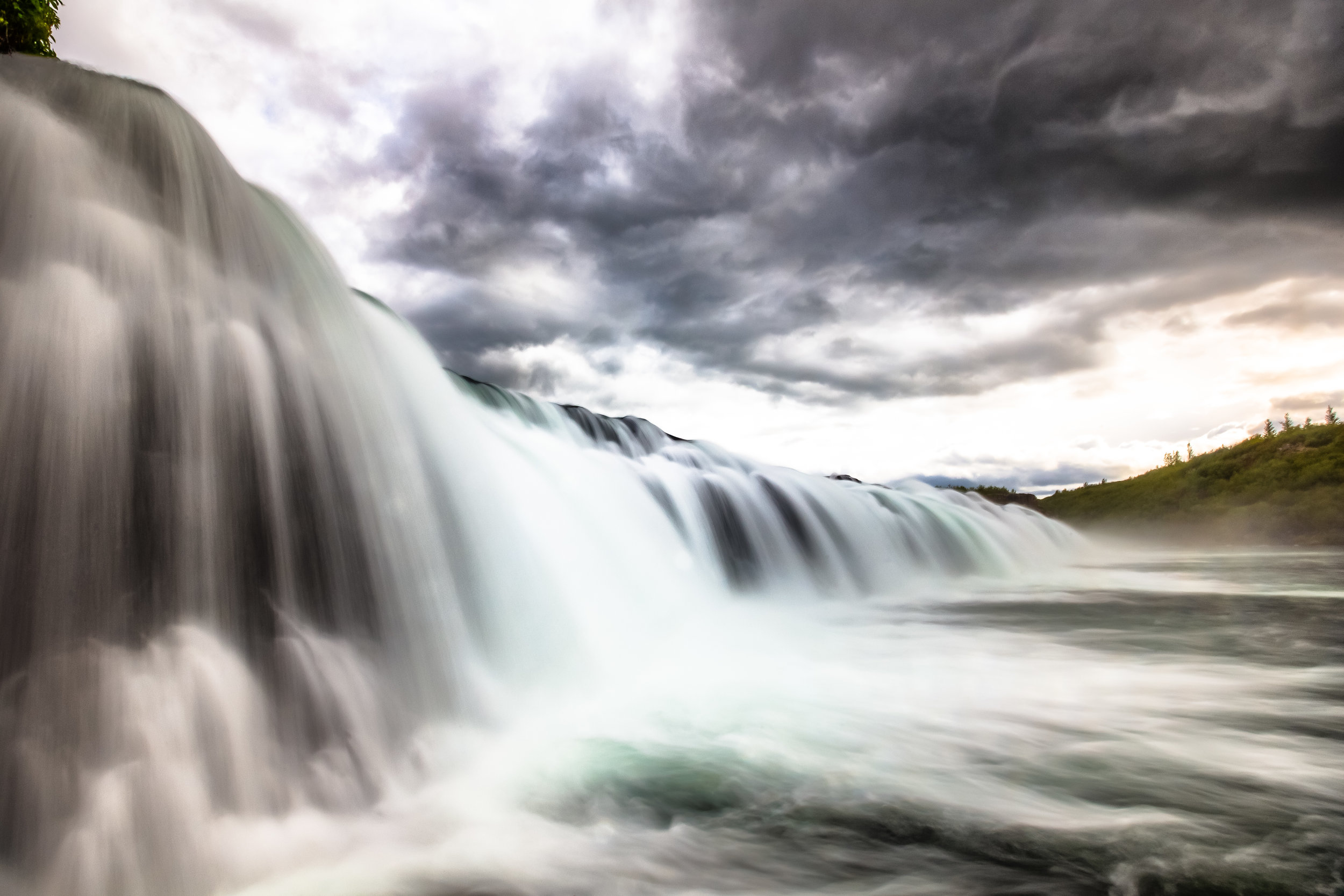
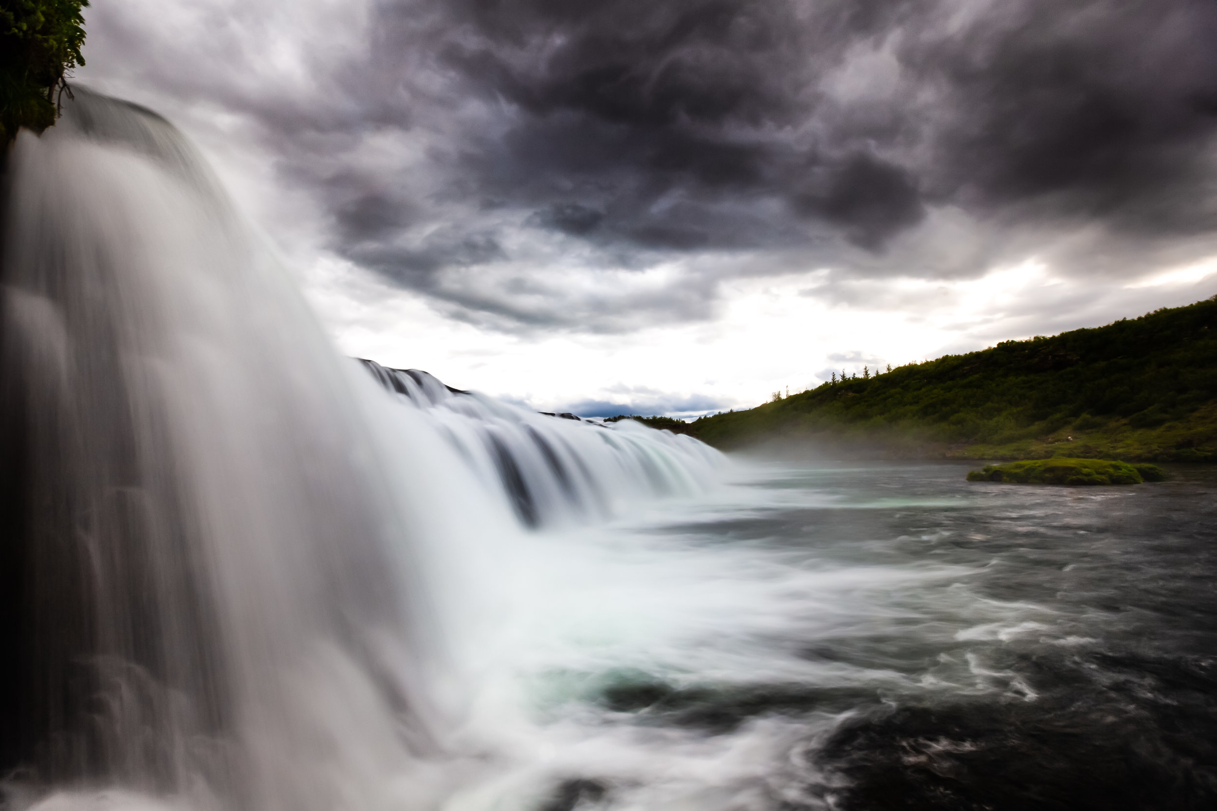
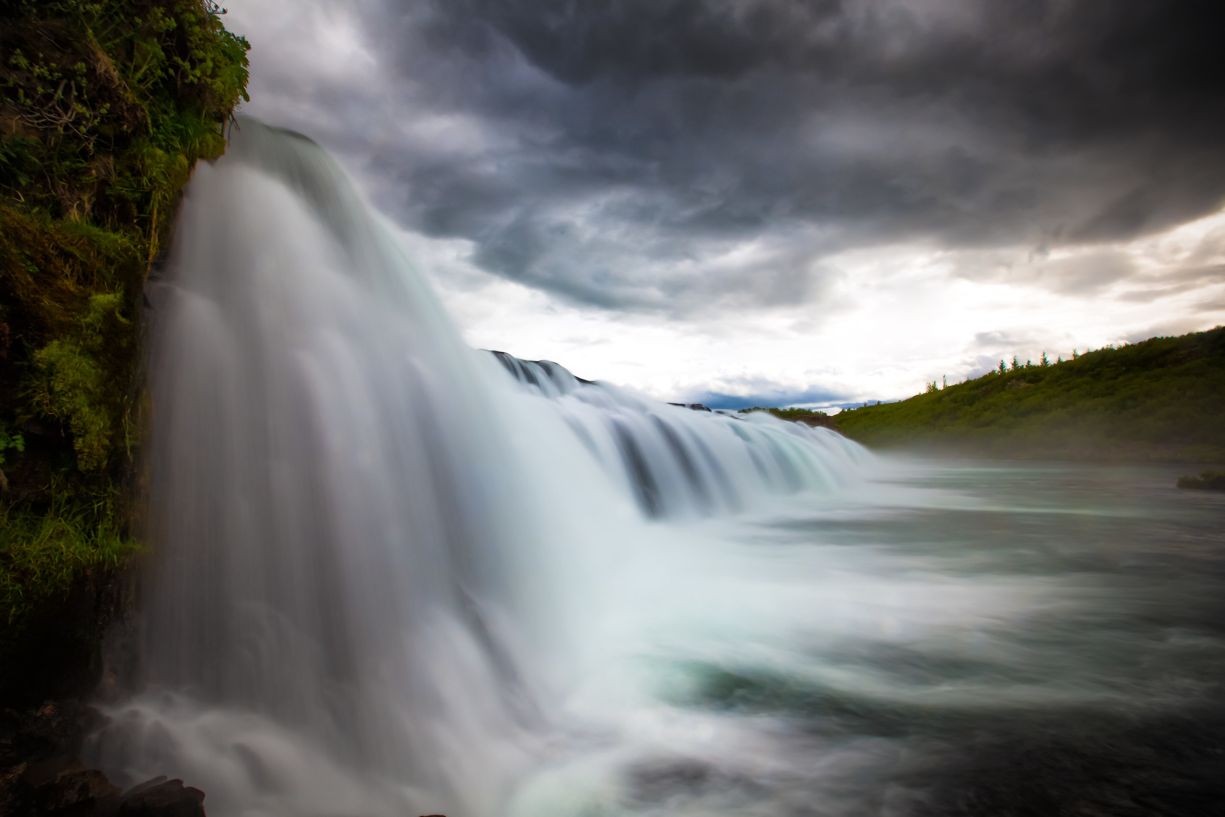
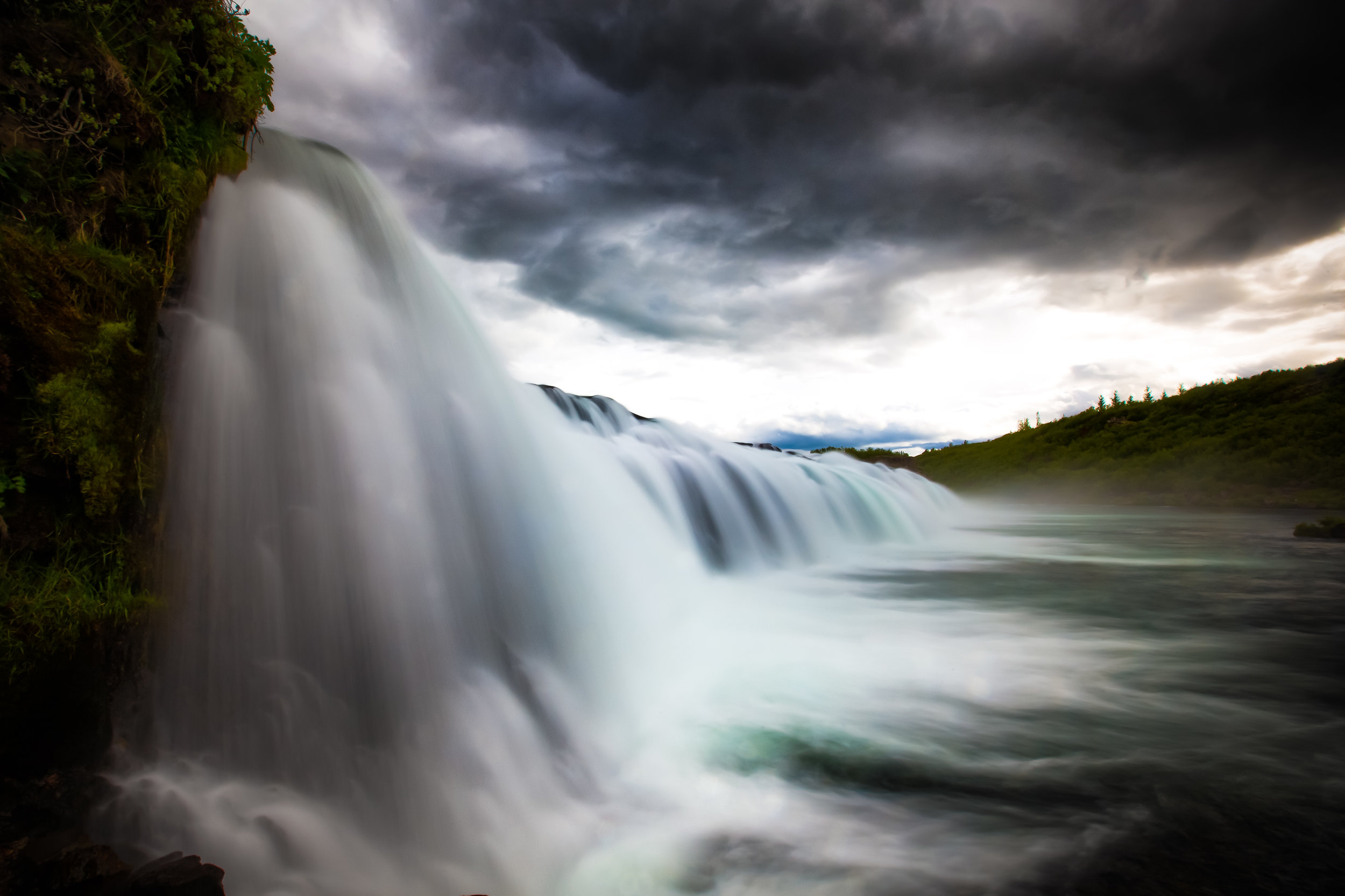
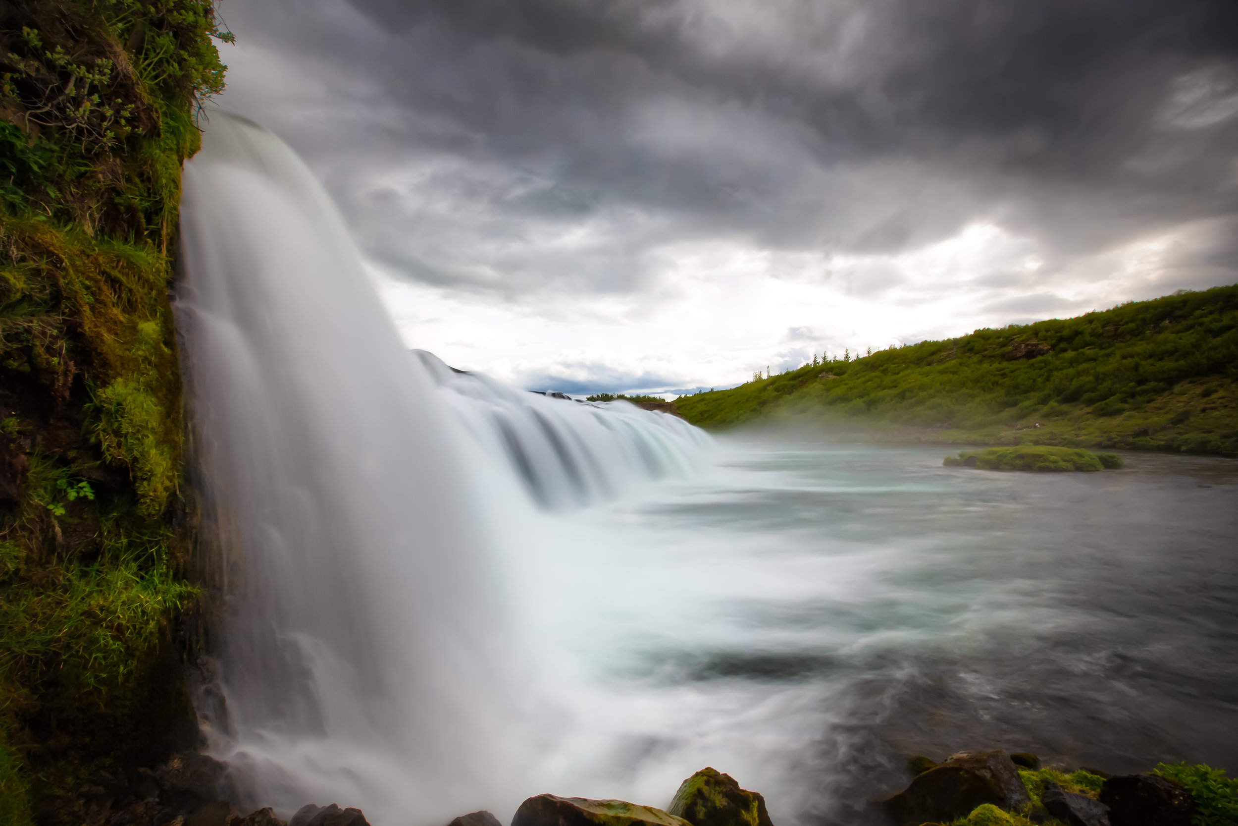
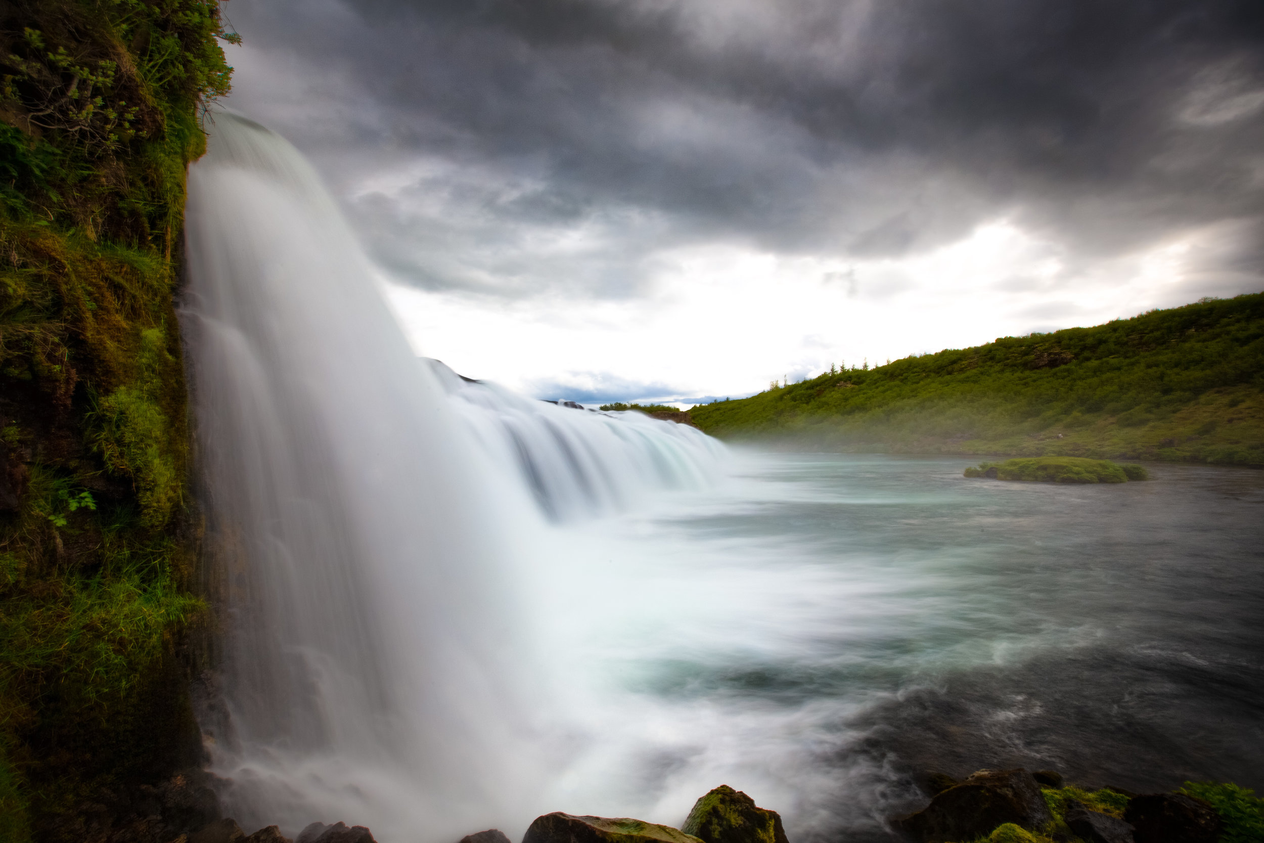
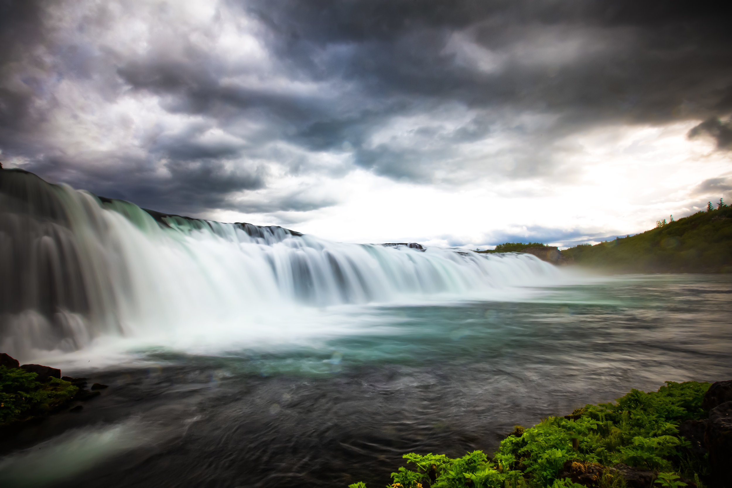
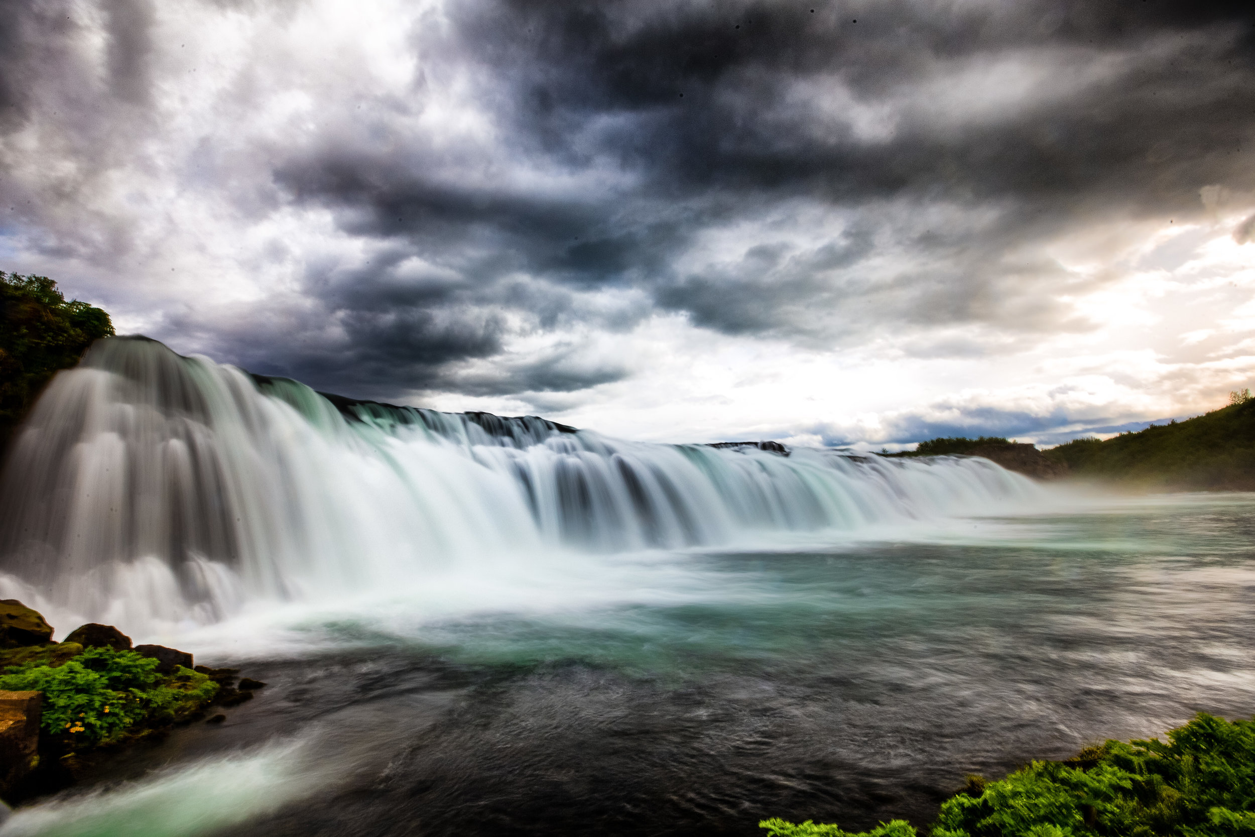
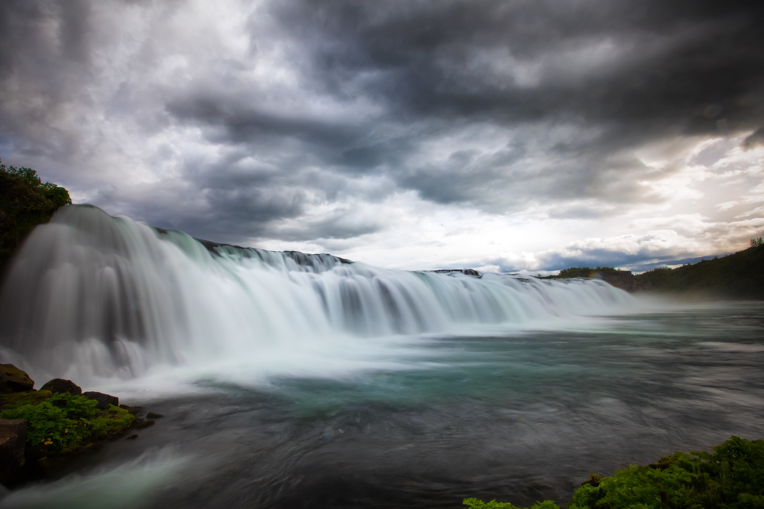
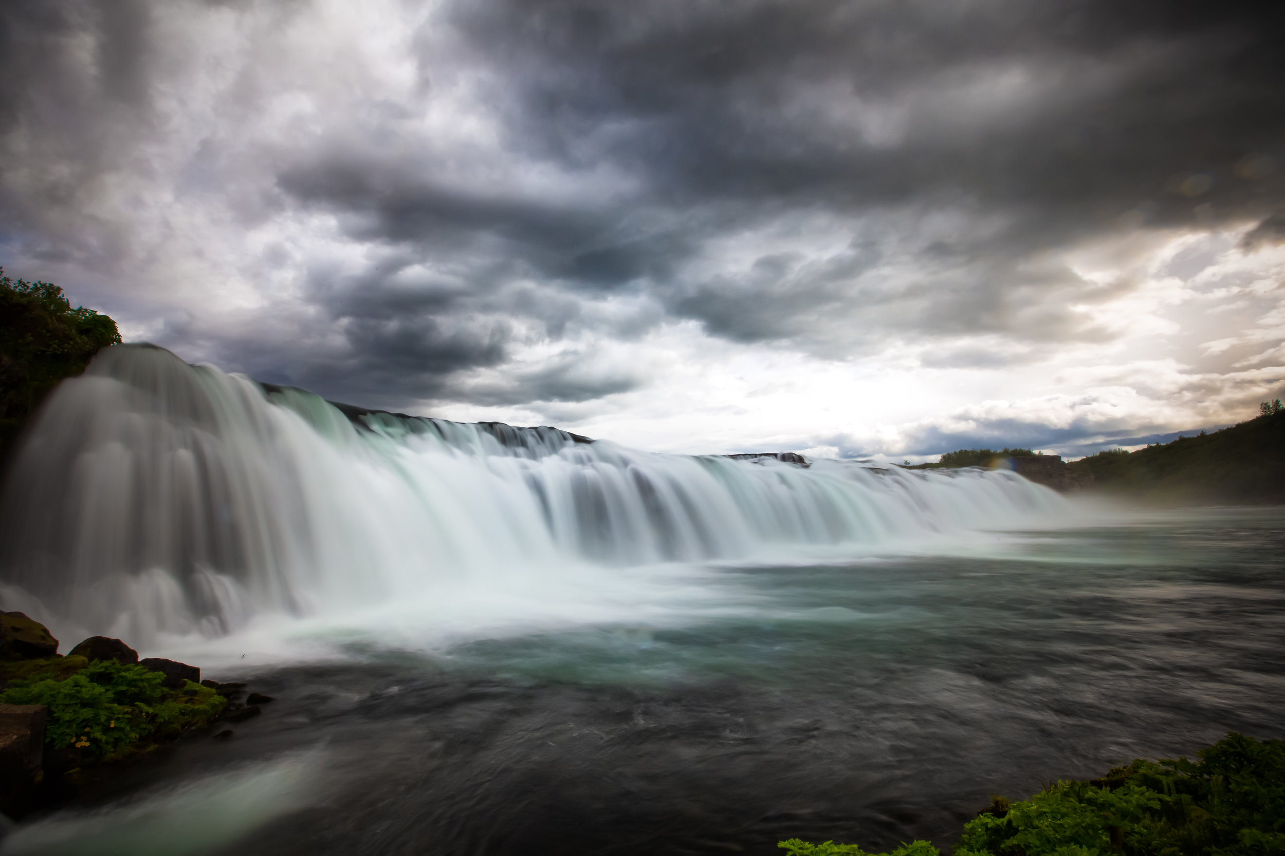
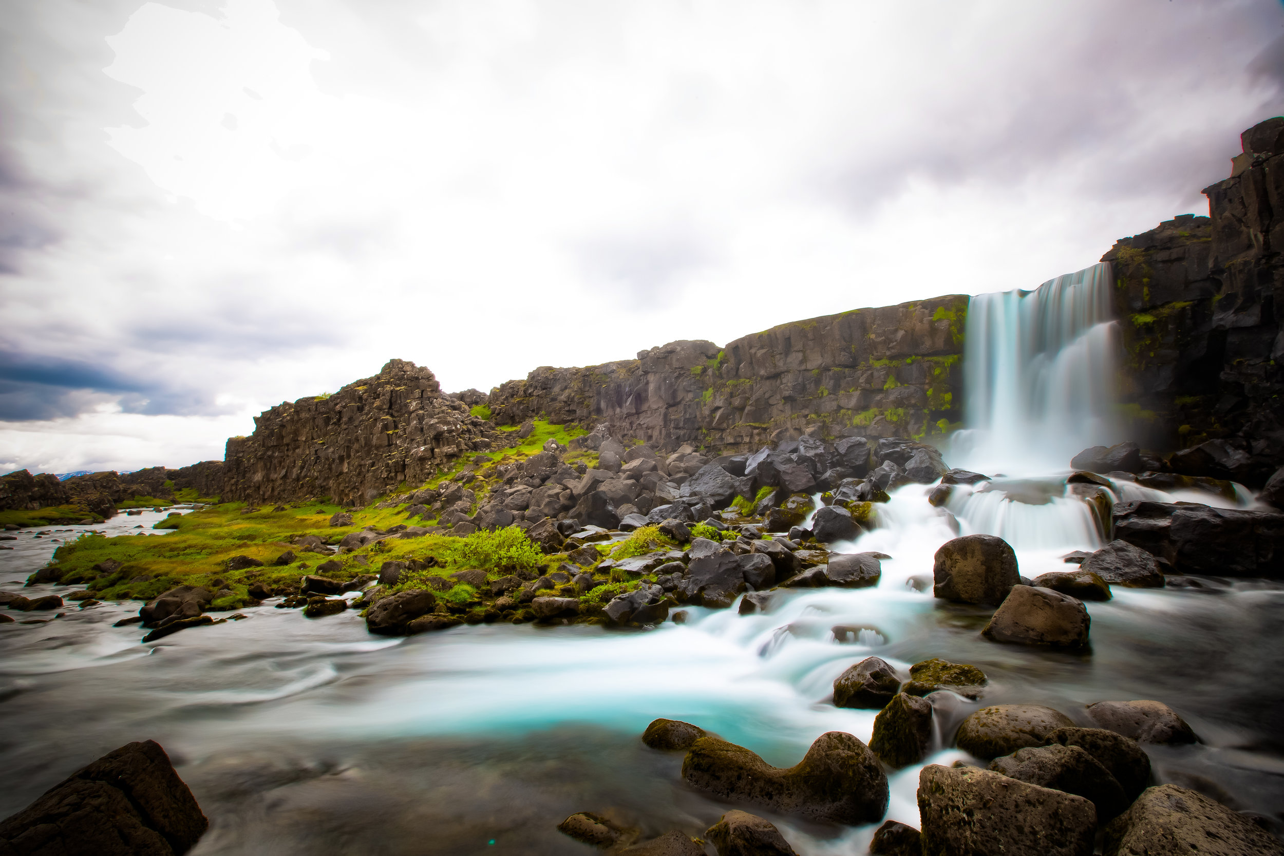
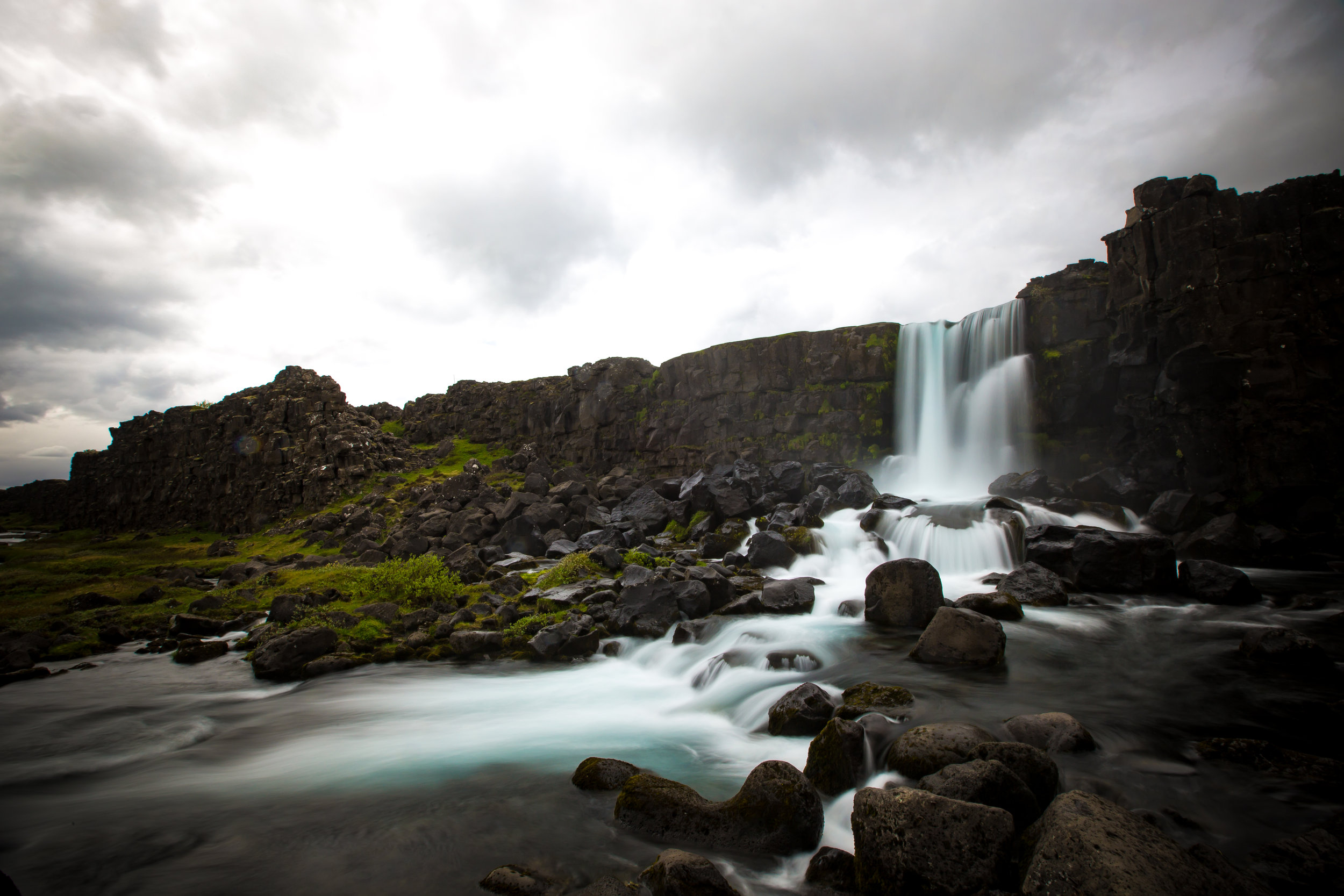
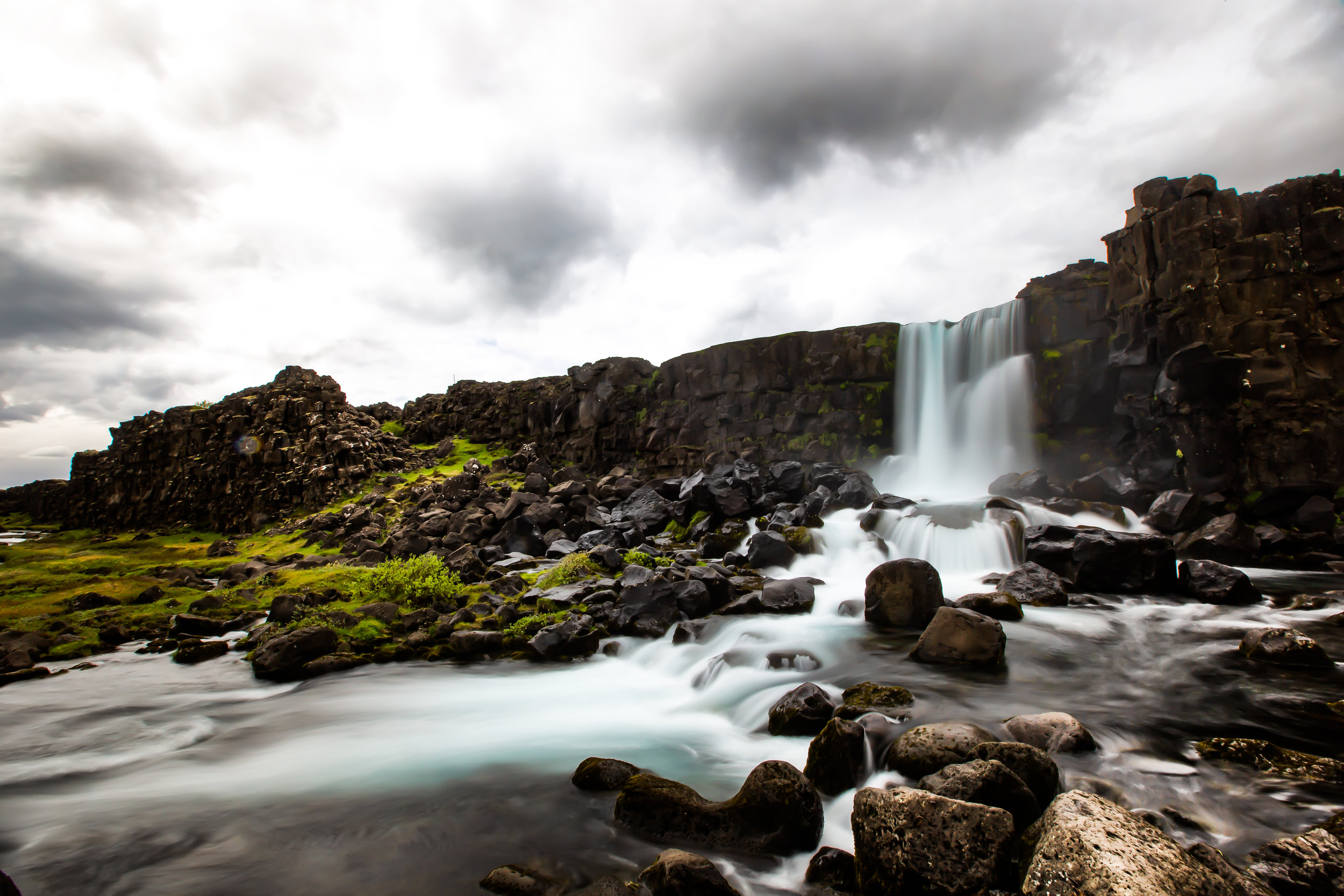
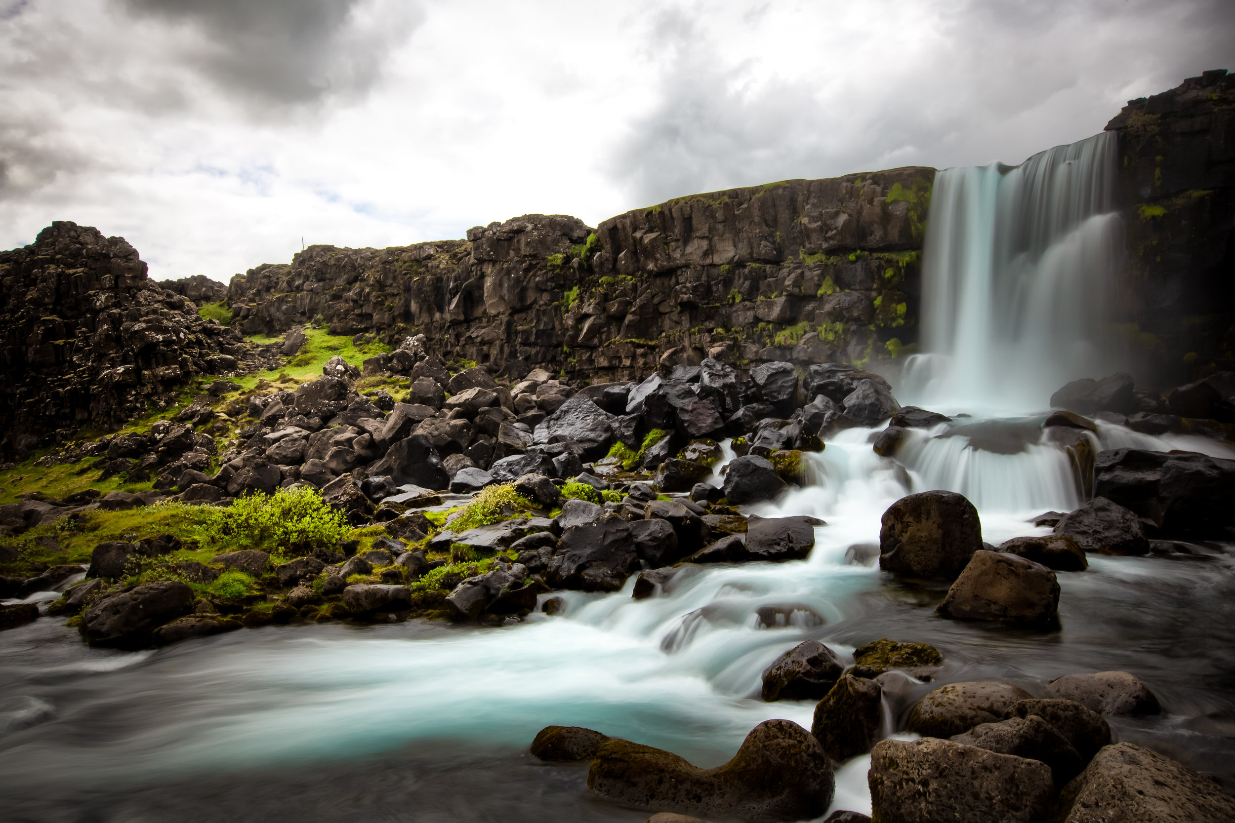
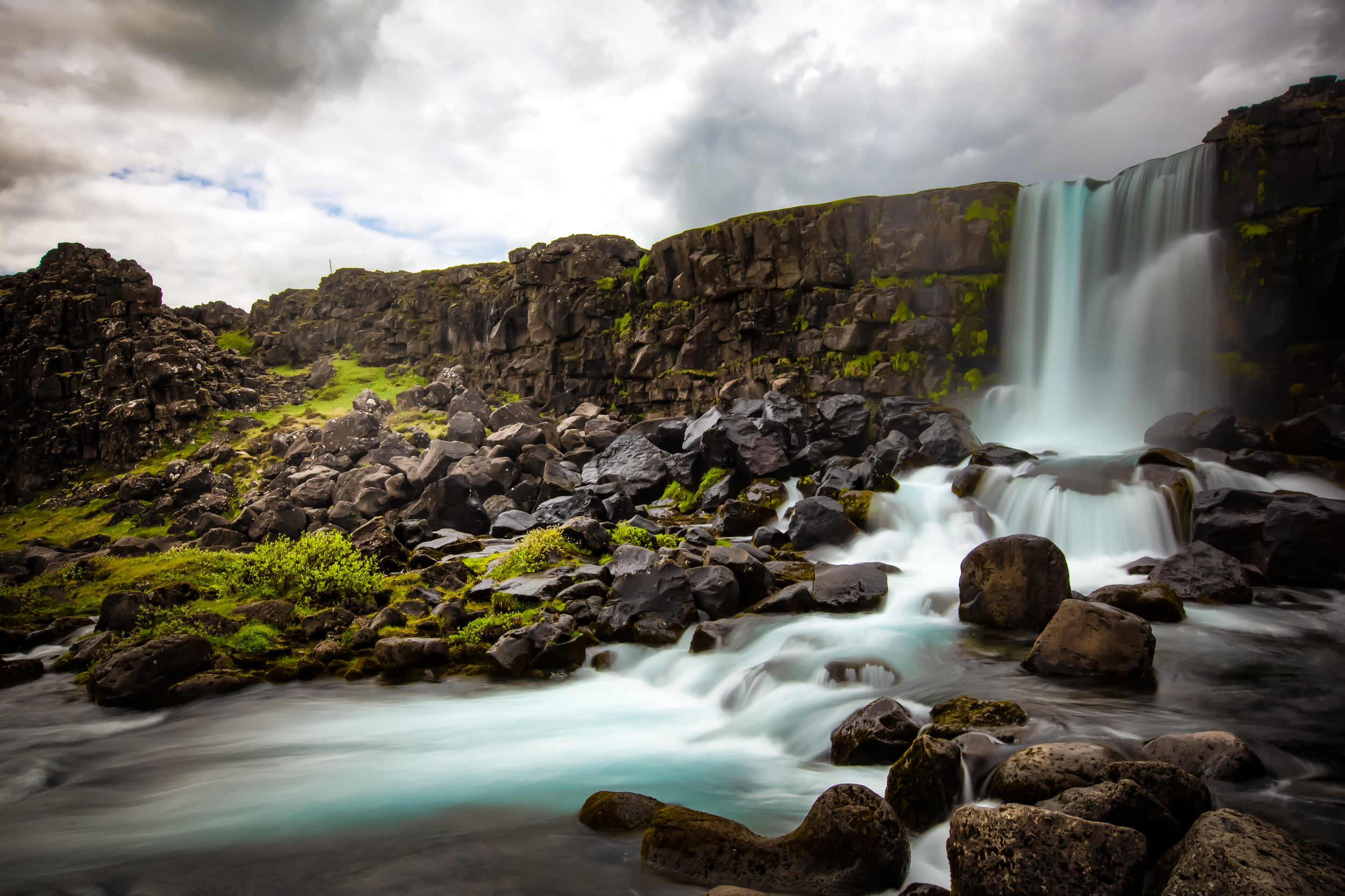
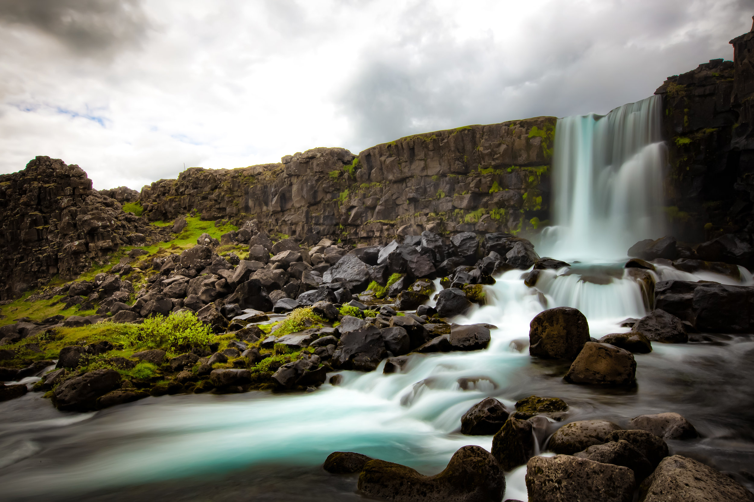
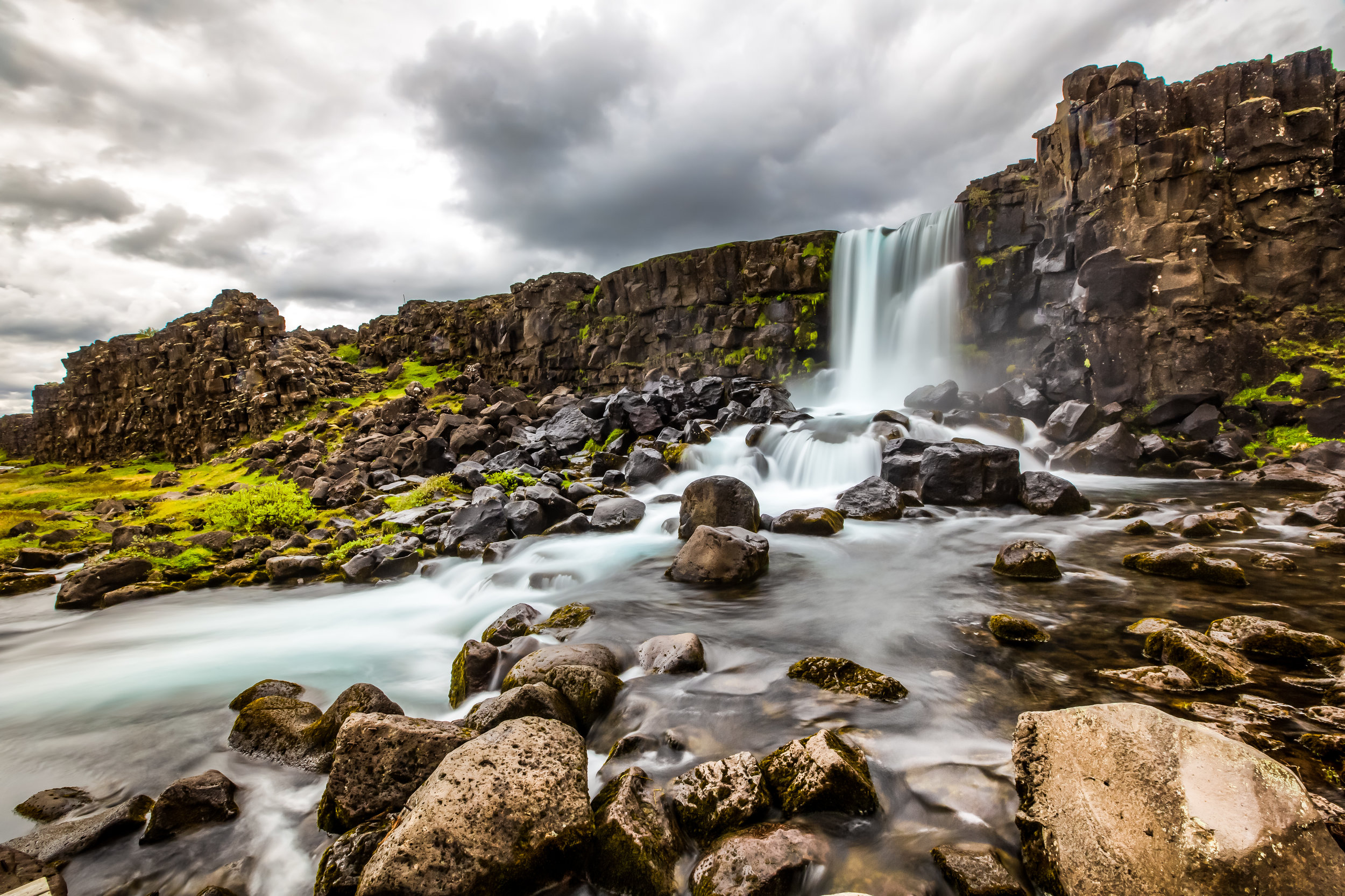
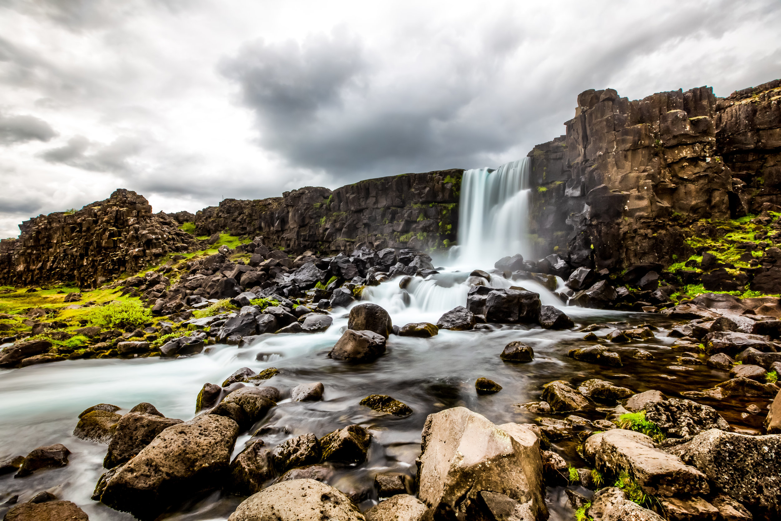
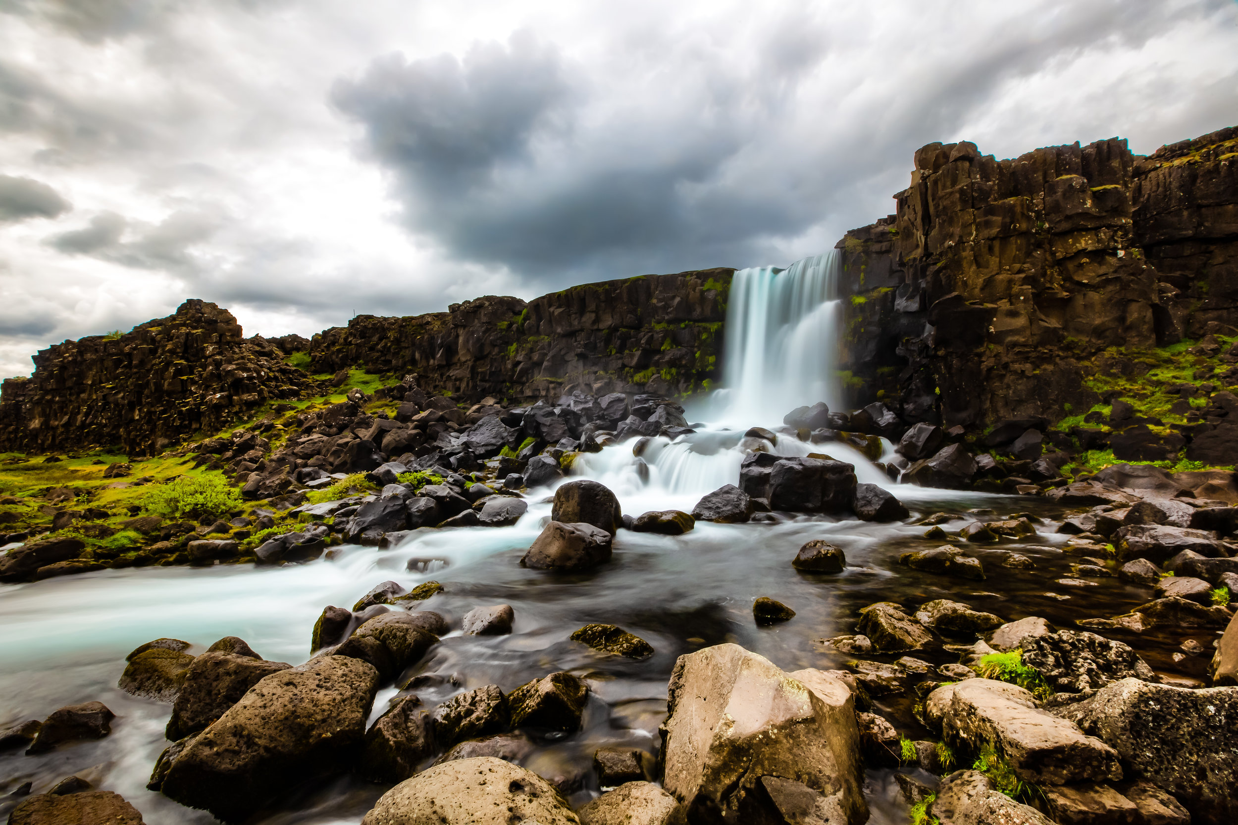
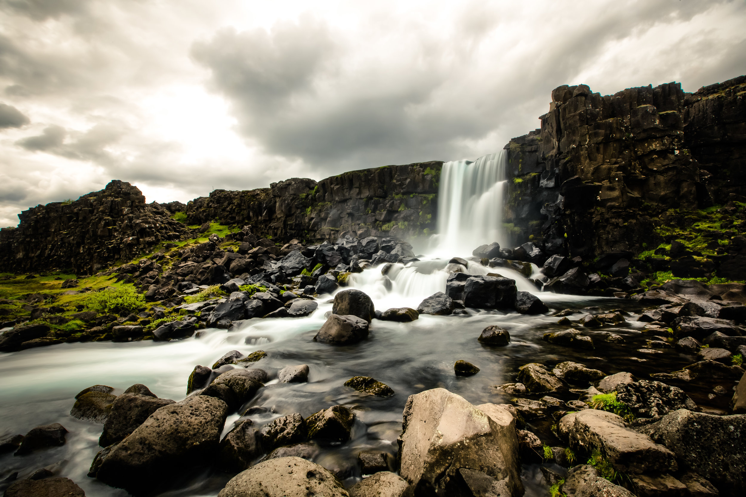
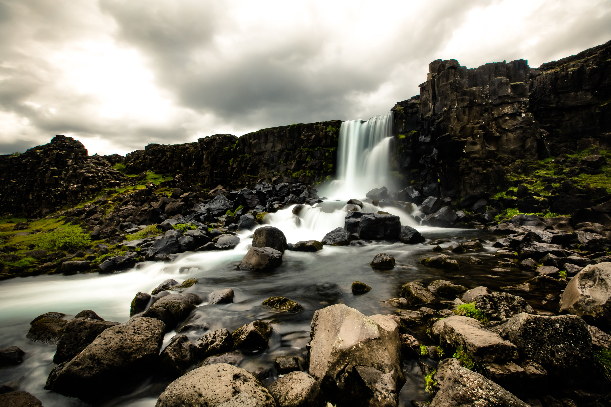
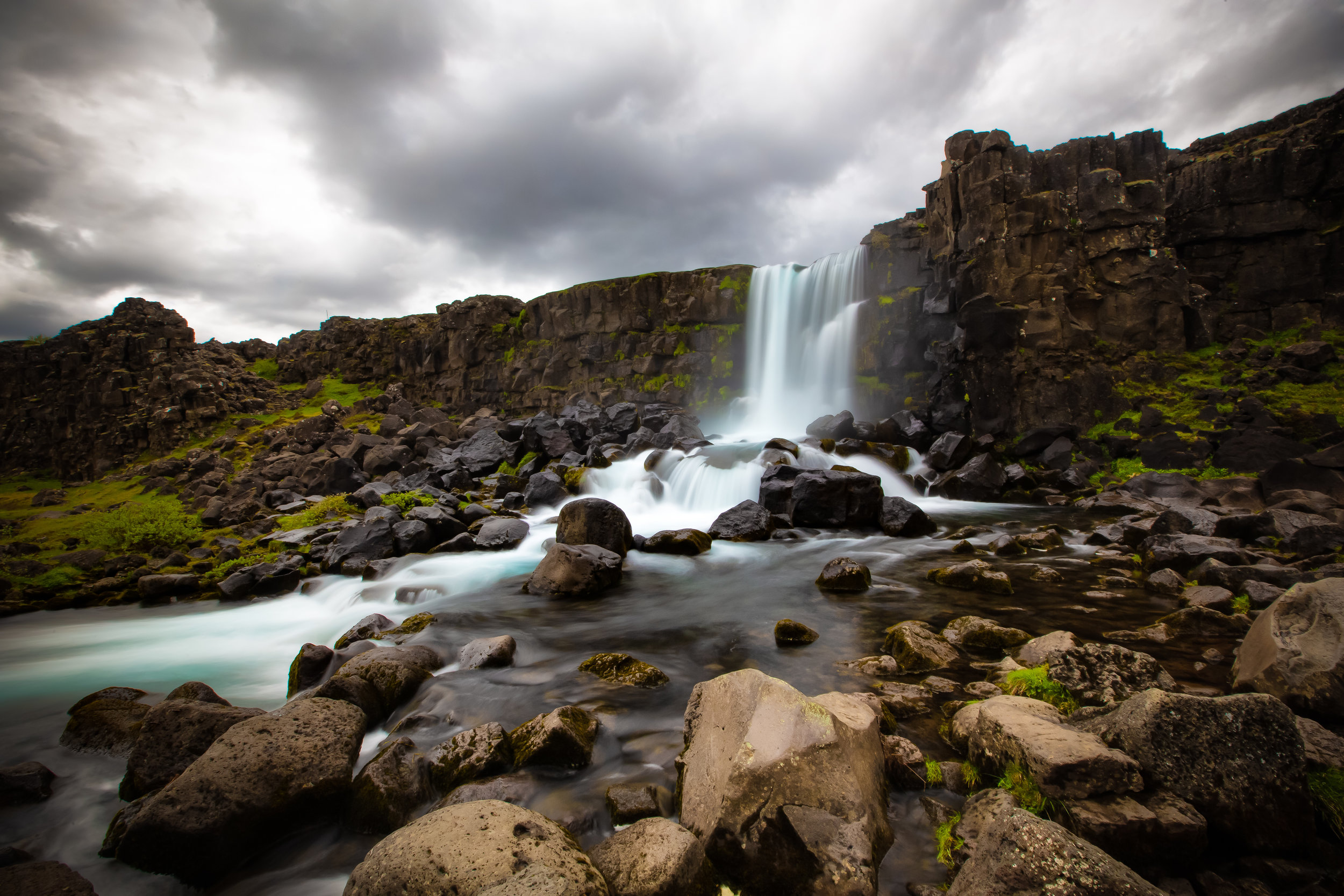
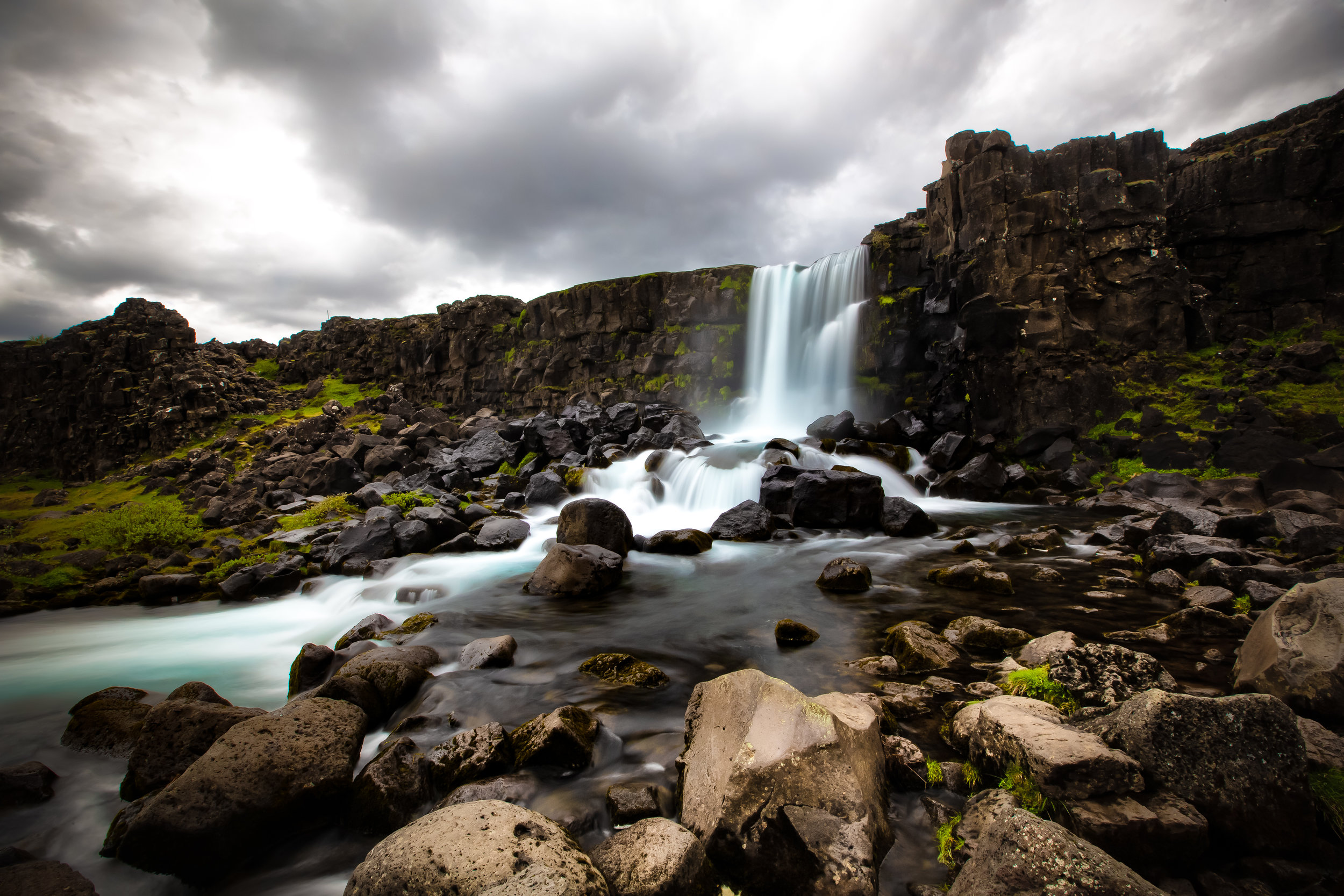
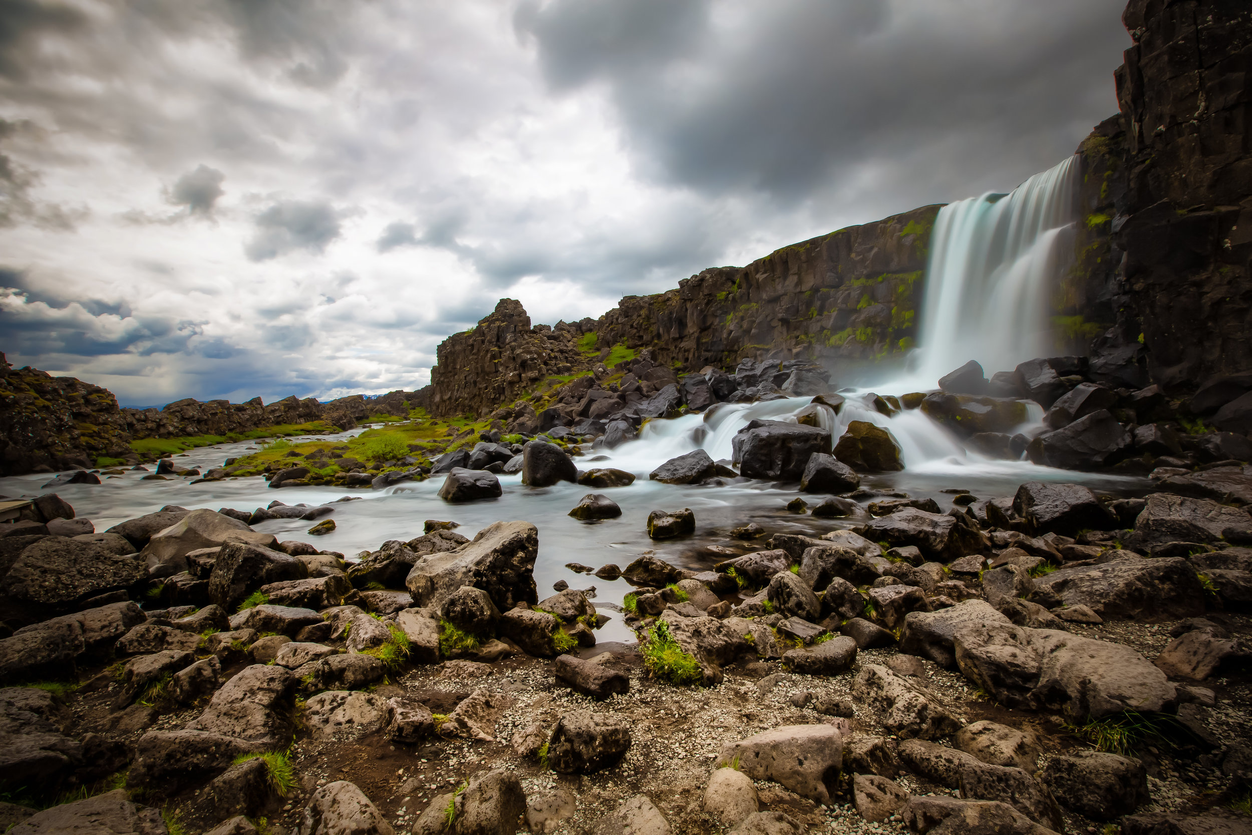
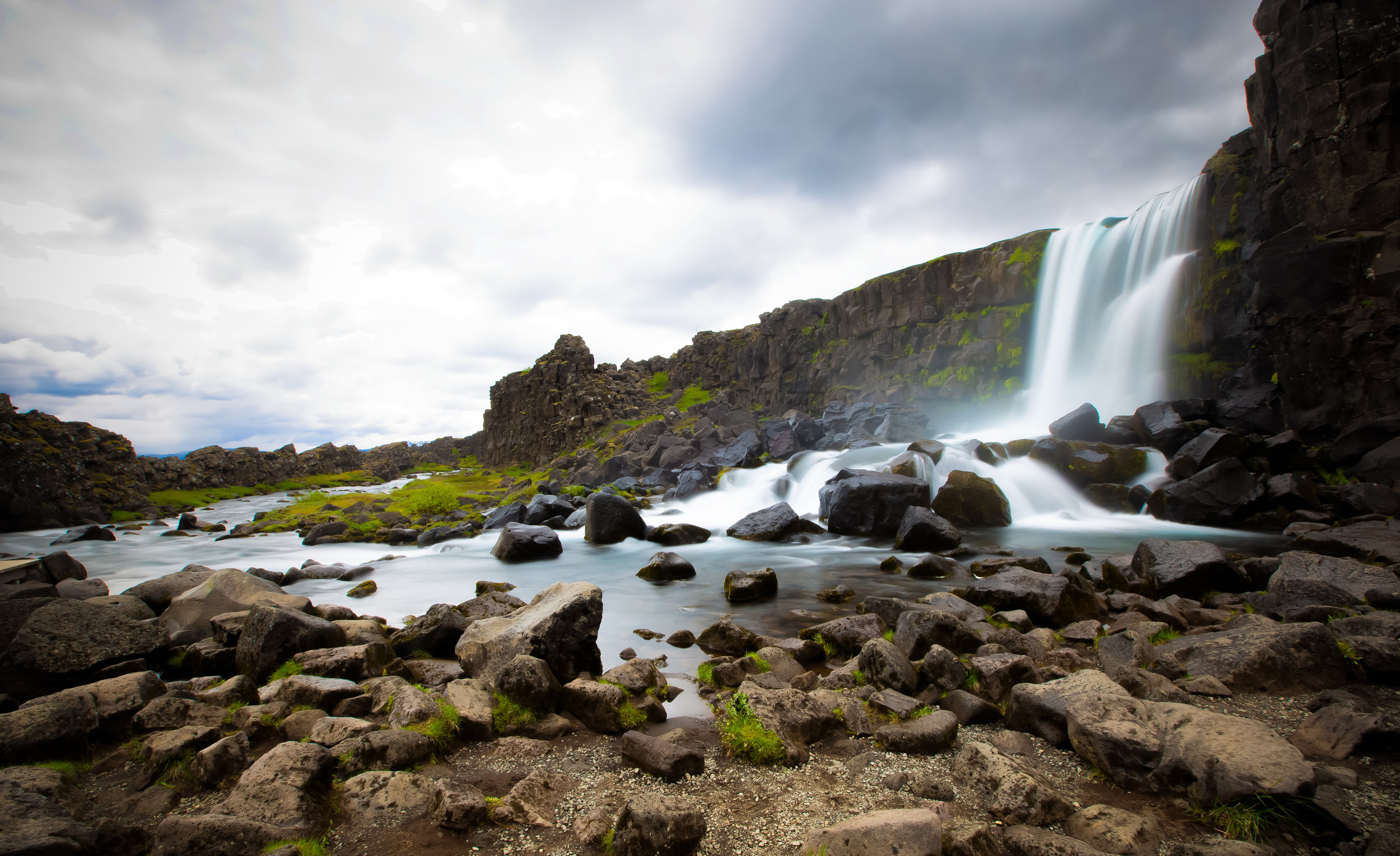
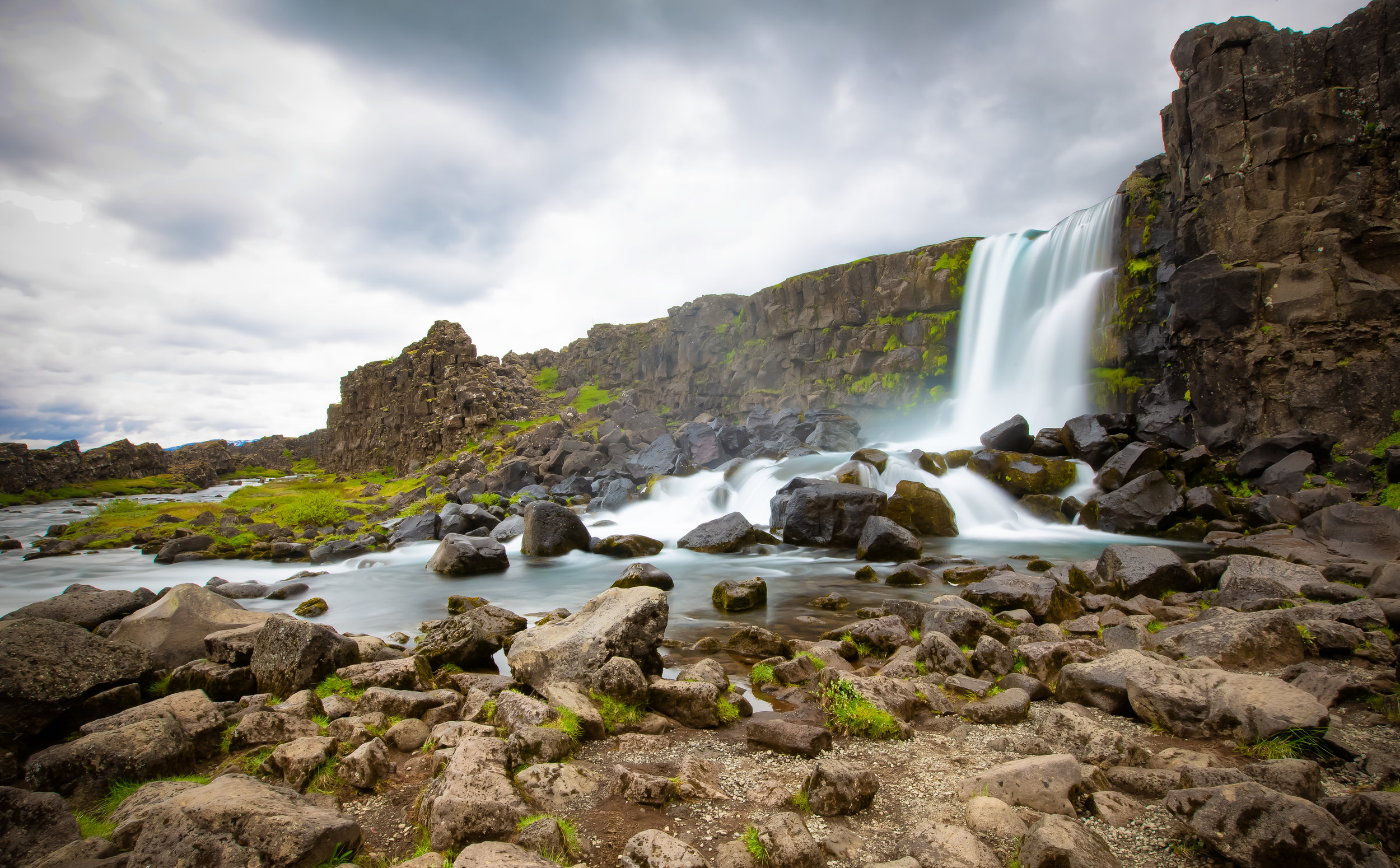
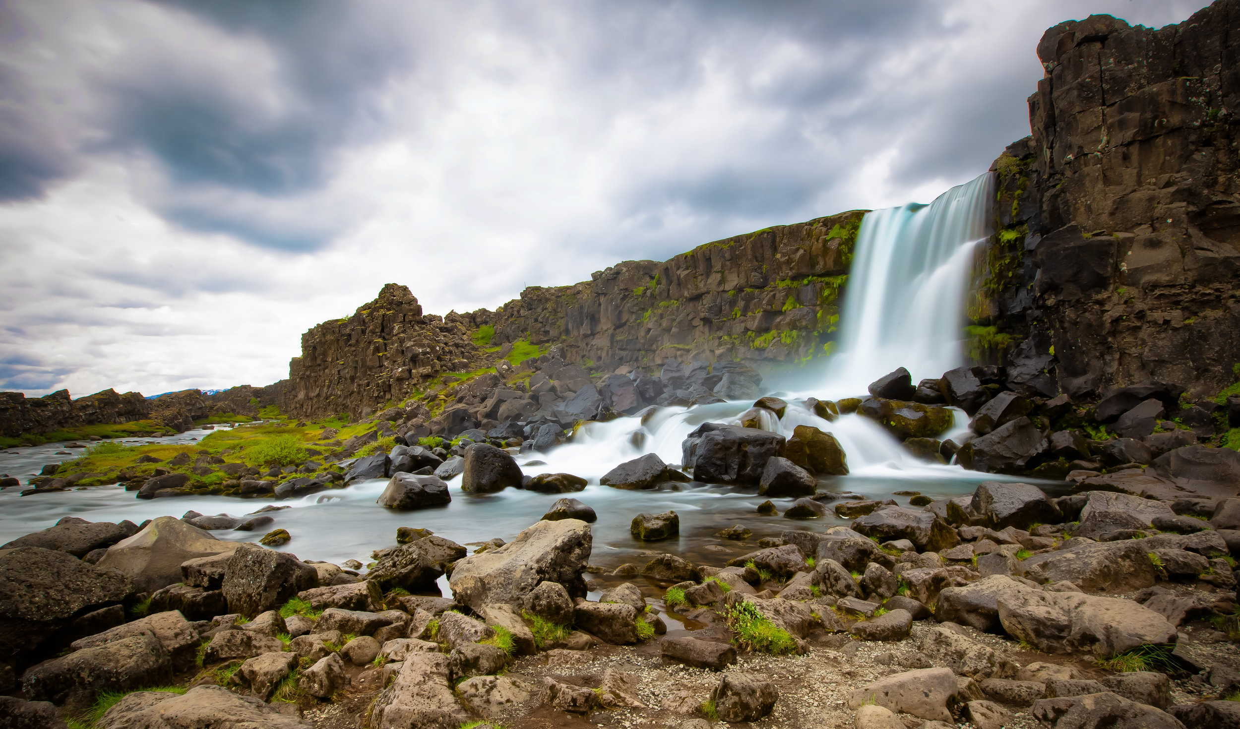
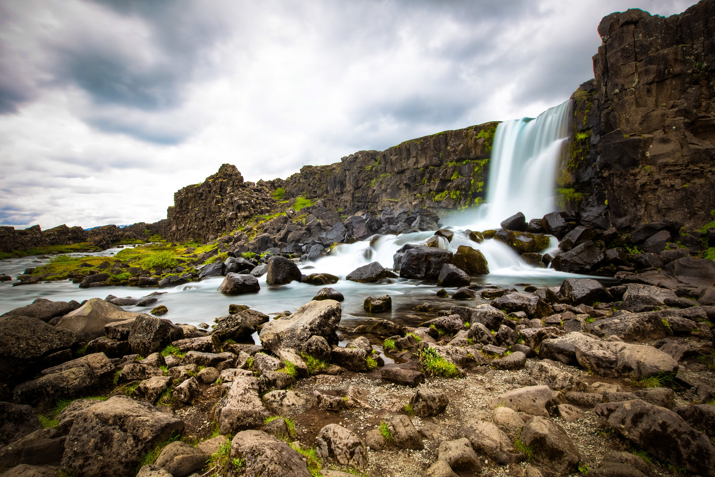
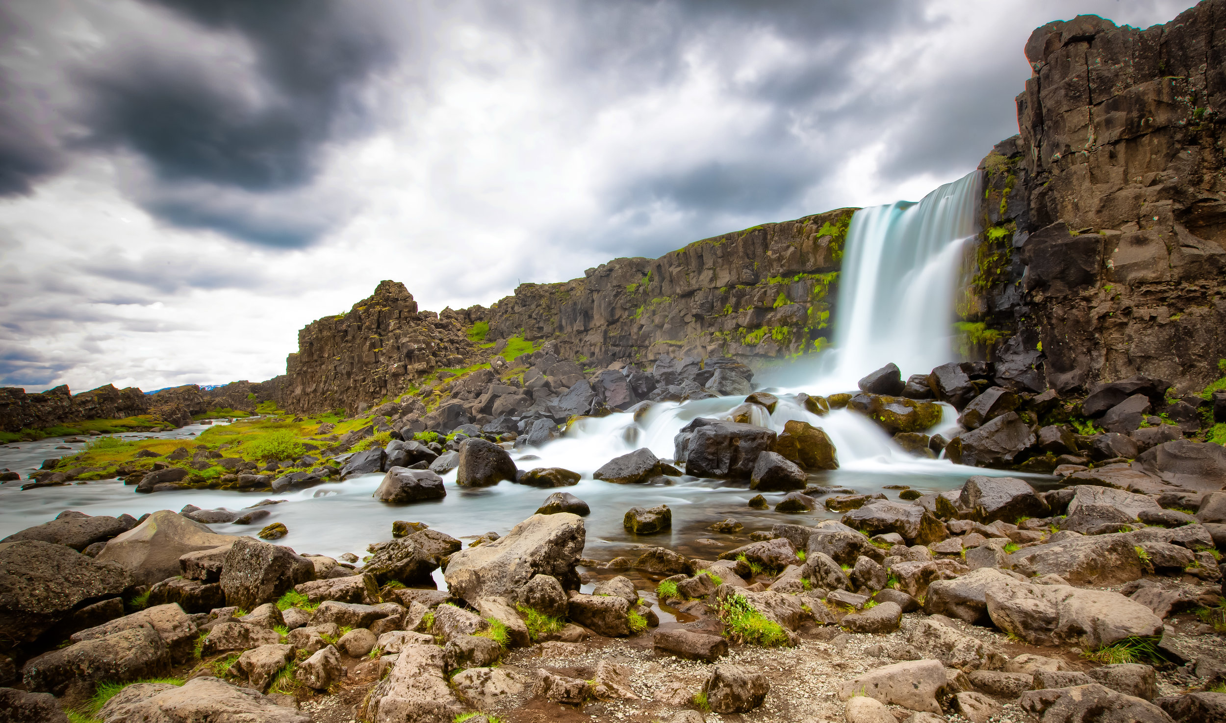
If you are following the popular Golden Circle route, Crater Kerid is about a three-hour drive from the capital of Reykjavik. Most tourists will have already stopped by Öxaráfoss, the Geysir Geothermal Park and Gullfoss before reaching the crater.

Crater Kerid is located around 15 kilometres north of the town of Selfoss or 56 kilometres south of Gullfoss along highway route 35.

If you are following the Golden Circle route, it is likely that the crater will be one of your last destinations before heading back.

It should only take you around 40-50 minutes to arrive at the crater after leaving Gullfoss but that depends on whether or not you’ve stopped at Faxifoss or Skalholt before arriving at the crater.

If you’ve decided that you won’t bother renting a car while visiting Iceland, you’re going to have to rely on public transportation to get around. There are tours out of the capital offered by tour groups like Reykjavik Excursions which offer tourists access to several different stops for around $100USD. It is important to remember that if you want to book a tour that you should do so well in advance as the seats on the daily tours tend to fill up quickly.

Once you arrive at the crater there is an excellent car park provided for guests - You’ll want to take note however that there is now an entrance fee to gain access to the park. The entrance fee is a modest one at 400 ISK ($4.00 USD) per person and is used to help maintain the natural environment at the park.

Visiting Crater Kerid doesn’t really require a lot of time - If you walk around the perimeter of the crater and walk down to water-level it shouldn’t take you more than an hour. The area is a beautiful one though and is a great place to take some landscape photos. You may also want to consider preparing some food and having a picnic before heading off to your next destination.

After travelling around the Golden Circle you may feel a bit underwhelmed with the crater but the crater is an excellent example of the geothermal nature of Iceland’s geography and paints a picture of the land’s storied past. It is definitely worthwhile to stop by and check it out - especially after a day of checking out waterfalls


Faxi Waterfall

Iceland is a large country with a tremendous amount of open space - That being said, most of the major tourist attractions are overflowing with tourists. The so-called Golden Circle in particular is one of the busiest areas on the country’s tourist circuit and is where you’re likely to have to share the beautiful landscape with buses and vans full of other people.

There are however several stops along the Golden Circle tourist loop that aren’t overrun with tourists and when you find them you’ll likely breathe a sigh of relief that you can finally be at one with nature!

This was the case when I stopped by the beautiful (but not so popular) Faxifoss Waterfall.

I had an entire waterfall to myself.

I could move around with my camera and my tripod and never have to worry about other people getting in my shots. I could get up close to the powerful falls, the shore and even to the top of the falls. 

The whole thing was mine and I was quite content with that!

Faxifoss certainly isn’t as large or as beautiful as nearby Gullfoss but the fact that you can have it all to yourself makes visiting it almost a zen-like experience.

Oddly described as a ‘smaller version of Gullfoss’, the waterfall is only a short drive from its larger sibling and is fed by the same glacial water source but is part of the Tungufljót river.

Known either as Faxifoss or Vatnsleysufoss, it is a single tier set of cascading falls that is about eighty meters wide and seven meters in height.

Even though waterfall is not as popular with your average tourist it is quite well-known by those who visit Iceland for the sole purpose of fishing the country’s rivers. The Tungufljót river is widely revered in sport fishing circles for the abundance of salmon and sea-trout so if you visit in the fishing season you’ll likely see quite a few people fishing in the river nearby.

Interestingly, next to the waterfall is an odd cement structure that is full of water - basically it is a salmon ladder that assists the fish in their trek upstream. What a great idea!

You’ll notice from some of the photos that I was having a bit of fun while taking shots of this waterfall - Not only could I get up close and personal with it and take photos from several different spots, I was able to get long exposure shots while standing directly beside it. The milky effect with the photos turned out to be a bit extreme in some of the shots - but whatever - it was one of the few waterfalls that I visited where the mist didn’t ruin almost all my shots!

Something I’ll recommend before you get back on the road is to stop near the entrance and walk across the road to where a local farmer lets his Icelandic horses graze. The horses are beautiful and the scenery in the background makes for some beautiful photos!

Getting There


When you’re done with your visit to Gullfoss, you’ll likely continue driving south along Route #35 on your way toward either Skálholt or Crater Kerið. The waterfall is found on a small side road just off the main road about twelve or so kilometres from Gullfoss or Geysir.
I’ve marked the waterfall on the map above, so if you are planning on visiting, just input it in your GPS and enjoy!

I highly recommend after checking out Gullfoss to make a short stop by the Faxi Waterfall - You won’t need a lot of time to enjoy the falls but the fact that its relatively unknown gives this waterfall a feeling of serenity that you don’t get at some of the other big ones. If you’re got a bit of extra time after visiting all of the other sites on the Golden Circle, stop by for a few minutes


Öxarárfoss Waterfall

This post is going to be the first of many travel blogs from my recent trip to Iceland with plans to post each blog chronologically following the route I took while driving around the country. 

My plan with these travel blogs is to depart somewhat from my typical blogging style focusing less on text and more on the photos as some of these locations don’t need to be explained with as much detail as some of the destinations I visit here in Asia.

I will however be sure to add some personal thoughts, some travel advice and other related information for travellers.

The “Waterfall in Ax River” or “Öxaráfoss” as it is known locally is more than likely going to be one of the first major destinations on every travellers Iceland itinerary.

Situated within the beautiful Þingvellir National Park, only a short drive outside of the capital city of Reykjavik, the waterfall is a popular location for both tourists and locals alike.

By Icelandic standards, the twenty-meter tall waterfall is a small one in comparison to all of the others you are going to see on your trip - It is however said to be one of the Icelandic people’s most well-loved waterfalls due to its location and for its historical significance.

As mentioned above, the waterfall is situated within Þingvellir National Park (Pronounced “Thingvellir”), a designated UNESCO World Heritage Site which has a history dating back to the 9th Century.

The park is not only home to Öxaráfoss but also several other (much larger) waterfalls, Iceland’s largest lake and is renowned for its displays of volcanic and geothermal activity.

Most notably, the Rift Valley where Öxaráfoss is located is also home to the physical boundary between the North American and Eurasian tectonic plates.

A short distance from the waterfall is the 70-80 meter wide Silfra Fissure which was created by the shifting of the tectonic plates. The fissure is fed with fresh water from the Öxará river and is considered one of the top dive sites in the world offering enthusiasts the rare opportunity to dive between tectonic plates.

Conditions at the waterfall vary by season so if you visit in the summer you’re likely going to experience a heavy flow of water thanks to the melting of ice. In winter on the other hand, the waterfall is often frozen making for a completely different experience.

As you can see from the photos, the weather on my first day in Iceland wasn’t ideal.

The Öxará river which translates into English as “Ax River” gets its name from an Icelandic legend that tells of a troll who had the bad habit of terrorizing visitors to the area before a young hero had enough of it and murdered it with the use of his handy ax.

According to the legend the ax, which was lodged deep in the trolls back, floated down the river and was then later found in the place where the waterfall is now.

If you’re a fan of the late and great Anthony Bourdain, or have learned anything about the people of Iceland, you’re likely to know that Icelandic folklore can be a bit far-fetched.

Belief in elves is a real thing and even though the average tourist probably won’t have a chance to encounter any mystical creatures, it doesn’t change the fact that a large percentage of the population still believes in their existence!

What we can separate from myth however (thanks to written records) is that the waterfall wasn’t always there and is a result of human actions to divert the river. Proof of this lies in the fact that there is geological evidence of a river bed due west of the river’s current location.

One of the reasons why Þingvellir is so important to the Icelandic people is because the first ‘Icelandic Parliament’, known as the “Althingi” was formed there sometime in the 9th century.

In terms of national pride, this is pretty much the place where Icelandic identity finds its origins and is recognized as the oldest continuously existing national parliament in the world.

Link: The Althingi (Wiki)

In order to provide water service to the ancient parliament, the Öxará river was diverted in its direction which in turn created the waterfall as the direction of the river now forced the water over a cliff in the Rift Valley.

While not a large waterfall, visitors are able to get quite close to the river and it is quite easy to take nice photos of the area which has made it an important stop along the Golden Circle.

And yes, I know I haven’t mentioned it yet, but those with a keen eye will know that this area was featured in the popular Game of Thrones TV show as a shooting location.

Getting There


As mentioned above (unless you stop along the road somewhere to take photos), the waterfall is likely to be your first major destination on your Golden Circle trip. If you are driving from Reykjavik, simply take Ring Road Number 1 before eventually turning west on Þingvallavegur Number 36 until you reach the carpark.

From the carpark the waterfall is a short (ten minute) walk through the Rift Valley on a well-developed pathway. You could alternatively park your car at the Almannagjá Service Centre and walk through the rift to the waterfall. I recommend the walk through the rift from the carpark though as its quite beautiful and it may seem familiar to Game of Thrones fans.

If you have time there is a lot more to see in the area than just the waterfall with hiking paths that will take you to the shores of Thingvellir lake and through the rift.

A visit to Öxaráfoss is a great way to get your Icelandic feet wet and is a taste of things yet to come on your journey around the country. The waterfall is small, but it is beautiful and commands the respect of not only the people of Iceland but every tourist that visits!