Over the years I’ve written quite a bit about Taiwan’s period of Japanese rule here on this website. I’ve gone into great detail about some of the remaining Shinto Shrines, Martial Arts Halls, Police Dormitories, Teachers Dormitories, Civic buildings, etc.
I’ve talked a lot about how the Japanese helped to develop and shape Taiwan into the beautiful country that it is today, and how things certainly wouldn’t be the same now if it wasn’t for their influence. Admittedly though, while talking about all of the good things that happened during the half-century of Japanese rule, I’ve glossed over some of the really dark moments of that history.
I’m going to attempt to rectify some of that today with this blog post.
This post probably isn’t for the faint of heart, but I’ll be introducing a little known destination and a history that not too many people talk about.
To start, I’m going to have to go back in time before the Japanese took control of Taiwan.
The thing about Taiwanese history over the past four or five centuries is that it is full of would-be colonizers coming here to reap the benefits of this treasure trove of an island. Prior to the arrival of the Japanese, the Dutch, the Spanish and the Chinese all attempted to exert control over the island, but each of these attempts turned out to be short-lived, rather unsuccessful and each time ended badly. After several attempts by those mentioned above, the Japanese arrived and were the first to be able to exert administrative control over the entirety of the island.
Why is it that up until the arrival of the Japanese that no one could actually control Taiwan?
Well, the answer is simple - Taiwan was already home to groups of indigenous people and they didn’t take too kindly to all of the colonizers arriving on their shores.
During the 17th Century, Europeans started arriving in Taiwan and set up small outposts around the island in order to engage in trade with the indigenous people. However, when they attempted to do what the European colonial powers were notorious for, namely subjugating and oppressing the local population, things took a turn for the worse and resulted in violent uprisings that forced the Europeans out.
Then, when the Qing started taking an interest in Taiwan in the late 17th Century, waves of Chinese settlers started arriving on the island, mostly from provinces in Southern China. Possibly having learned from the mistakes of the Europeans, the Chinese instituted administrative policies that restricted migrants from settling in the mountainous areas, which were mainly settled by the indigenous people.
Interestingly, immigration at the time was tightly controlled and the settlers who came to Taiwan were predominately male. One of the conditions for coming to Taiwan was that they were not permitted to bring with them a wife or children. The intention was to control the population of settlers in Taiwan, but it was thought that interactions between the Chinese settlers and indigenous people would be easier if they started to inter-marry.
In truth, inter-marriage allowed for a certain level of protection and better business opportunities for many of the settlers, but like the Europeans before them, people started to bend the rules and infringe upon indigenous lands, which frequently resulted in conflicts.
It wasn’t until the final days of Qing rule over Taiwan that the ban on entering the mountains was lifted, but by then it was already too late as the Chinese were being embarrassed at home in their war with the Japanese. Ultimately, the threat of decapitation wandering too close to indigenous territories was enough to deter many of the early Chinese immigrants from making the same mistakes that the Europeans did.
You’ll often hear the Chinese government make bold claims like “Taiwan is an inherent part of China’s sovereign territory”. But the problem with these claims is that from 1683 - 1895, the Qing were only able to control pockets of the western coast of the island and like the Europeans before them were powerless to exert total control over the island.
Then the Japanese arrived, and they had no intention on limiting their control over the island in the same way that the Qing did.
They wanted it all.
In 1871, decades prior to the official start of the colonial era, fifty-four Ryukyuan sailors shipwrecked in southwestern Taiwan and were massacred by the Paiwan (排灣族) in an infamous event referred to as the Mudan Incident (牡丹社事件).
The reaction to this massacre resulted in the Taiwan Expedition (台灣出兵) of 1874, which was the first overseas deployment of the Japanese Imperial Army and Navy. The success of the military expedition, which sought revenge for the massacred Ryukyuans, would ultimately have geo-political ramifications that would shape events in Asia over the next few decades.
Link: 1874 Japanese Invasion of Taiwan (Wiki)
One of the takeaways of the expedition was the conclusion that Taiwan’s indigenous people were “vicious, violent and cruel” and that any future plans for Taiwan would first require the complete submission of the indigenous “barbarians,” which as I’m sure you can imagine shaped a brutal policy of subjugation over the subsequent five decades of colonial rule.
To their credit, the Japanese ending up doing some extensive anthropological study of Taiwan’s indigenous groups during their years here. That research forms the basis of much of the taxonomy that is used by the Taiwanese government to classify the various groups of indigenous peoples today. The positives however pale in comparison to the long list of ‘rebellions’, ‘uprisings’ and ‘incidents’ that took place around the island that ended up resulting in massacres and the oppression of the indigenous people.
Further Reading: Xincheng Incident (新城事件), Beipu Uprising (北浦事件), Truku War (太魯閣戰爭), Tapani Incident (噍吧哖事件), Musha Incident (霧社事件)
Unlike the Qing, the Japanese weren’t interested in policies that gave the indigenous people space and as colonial rule progressed, the Japanese moved as far inland as possible to continue their extraction of natural resources which were instrumental in fueling the hunger of the ever-expanding empire.
Resistance to Japanese rule lasted for decades, but the violence eventually settled down as the Japanese developed the island and acted as agents of modernity. Providing health care and education to the local people, improving their quality of life and providing them with new opportunities. Surprisingly, even though the memory of colonial rule remains painful for many of Taiwan’s indigenous groups, you’ll find that there is a lingering affinity among some for the ‘good old days’, which is often contrast with yet another period of racism and oppression that came with the subsequent decades of authoritarian dictatorship of the Chinese Nationalists.
For most, its difficult to fathom how decades of atrocities and suppression could result in assimilation, but when the Second World War spread to the Pacific, Taiwan’s indigenous military, the ‘Takasago Volunteers’ (高砂兵) were some of the fiercest warriors the empire ever produced and their legendary bravery and loyalty continues to be celebrated in Japan today, with many of them honored at the Yasukuni Shinto Shrine in Tokyo.
Nevertheless, it should go without saying that no matter how some might feel about the period of Japanese rule, it has been a rough couple of centuries for the indigenous people of Taiwan, who have called this land home for thousands of years. The situation has only started to improve with better recognition of Taiwan’s indigenous peoples as an integral part of the Taiwanese national identity. The cultural shifts and forced assimilation brought on by subsequent colonial powers over the past few centuries however has inflicted irreparable damage to indigenous cultural identities and the loss of their languages.
This is a subject that deserves considerable more attention and effort than I’m able to get into here with this brief summary. Fortunately, there are an increasing number of researchers who specialize in this topic, and the story of Taiwan’s indigenous peoples, and their fight to save their languages and their cultures is starting to attract the attention it deserves.
Today I’m going to be introducing one of the lesser known ‘incidents’ that took place during the colonial era and an even lesser known memorial that exists in its honour. In most cases, the tragic events linked above, such as the Musha Incident, were major events in Taiwanese history and are covered extensively in the education system and in the media. Even though the ‘Dabao Incident’ is lesser known, it is yet another one of the tragic events that took place during the early years of the occupation, and set a precedent for years to come.
Dabao Incident (大豹社事件)
When the Japanese took control of Taiwan, they wasted no time in their attempts to pacify the island, which would allow them to quickly take control of not just the people living here but the precious resources that were suddenly made available to the fledgling empire. One of the most precious of those resources was camphor, which was instrumental for the production of celluloid, pharmaceuticals and industrial chemicals - and for which Taiwan was a veritable treasure trove.
The only problem was that Taiwan’s rich camphor resources were predominately located within indigenous lands, resulting in the Japanese army, with its advanced weaponry, forcibly displacing tens of thousands of indigenous people, burning their villages to the ground and murdering any of those who had the audacity to fight back.
Starting in 1900 (明治33年), the Office of the Governor General opened up Taiwan’s mountainous regions for the extraction of camphor trees (樟腦樹), and other precious resources. The decision would start an almost two-decade long period of resistance to Japanese rule by Taiwan’s indigenous people, loosely referred to as ‘the Camphor Wars’ and resulting in the deaths of an estimated 10,000 members of the Japanese Armed Forces and countless indigenous lives.
One of the first military campaigns into the mountains took place that same year in the mountains near Sanxia (三峽), located in the mountains in the south of New Taipei City (新北市). The military campaign resulted in what is known as the Dabao Incident (大豹社事件), which as I mentioned above is one of the lesser known incidents and unfortunately hasn’t really been covered very well in the English language - or in Chinese for that matter.
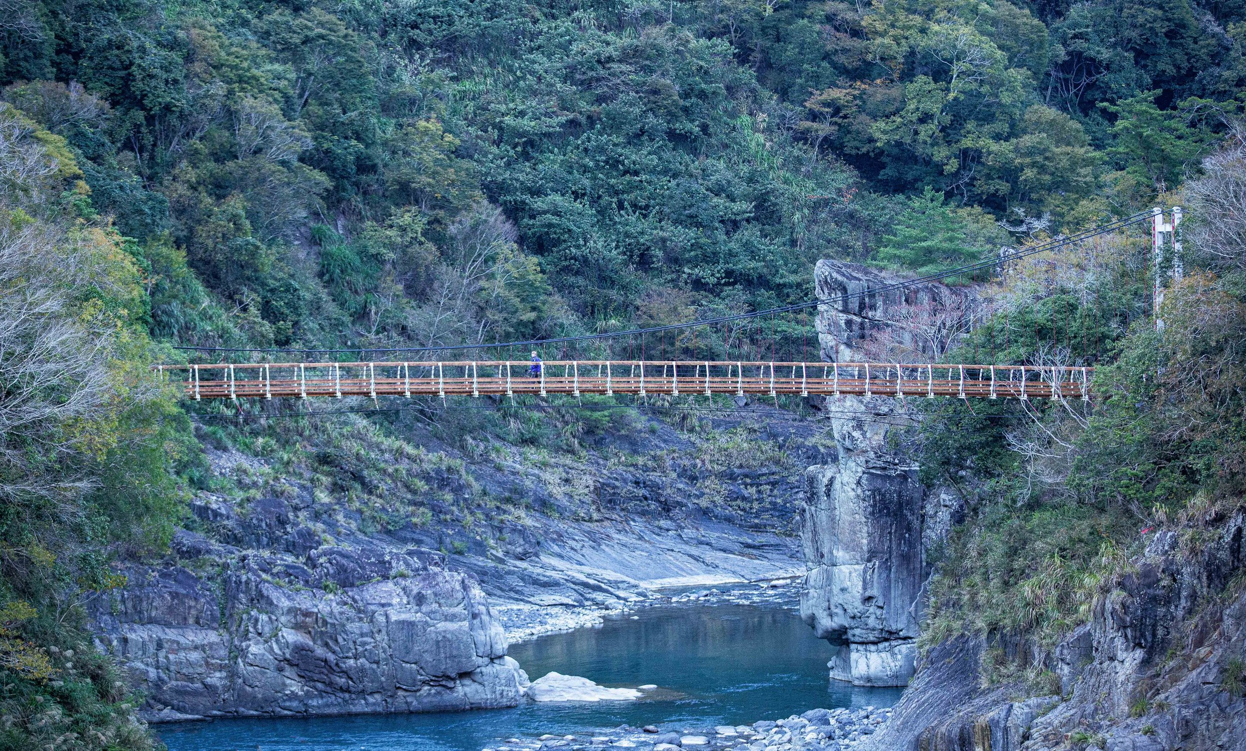
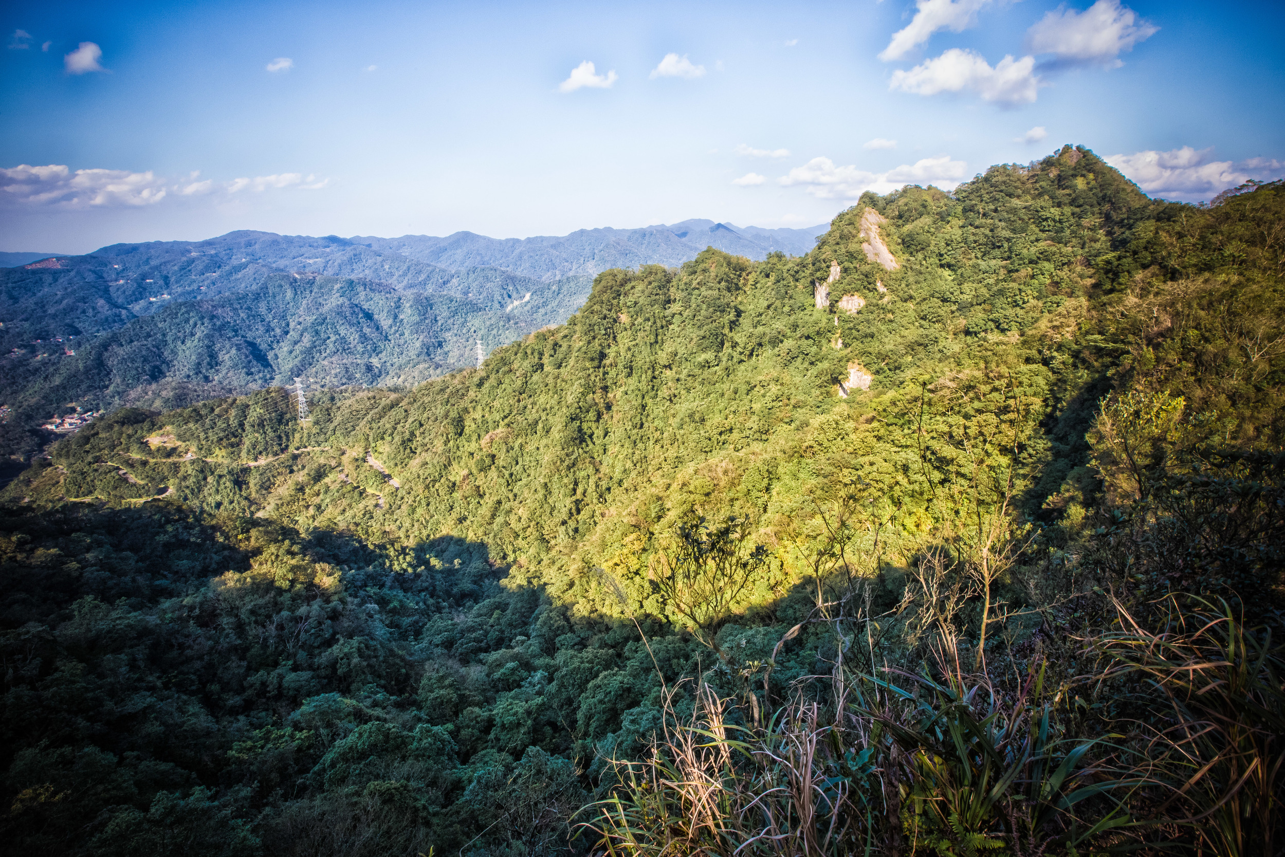
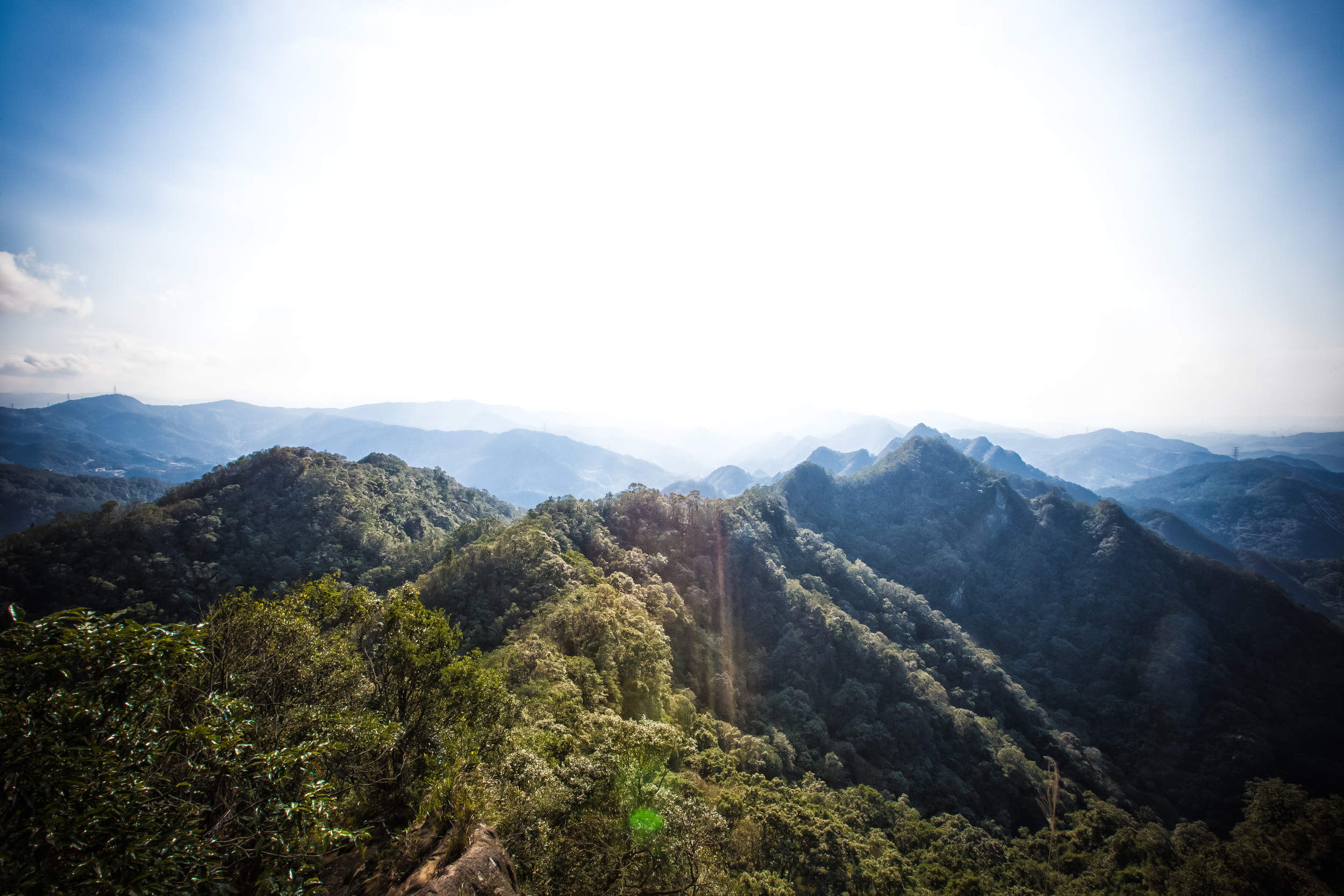
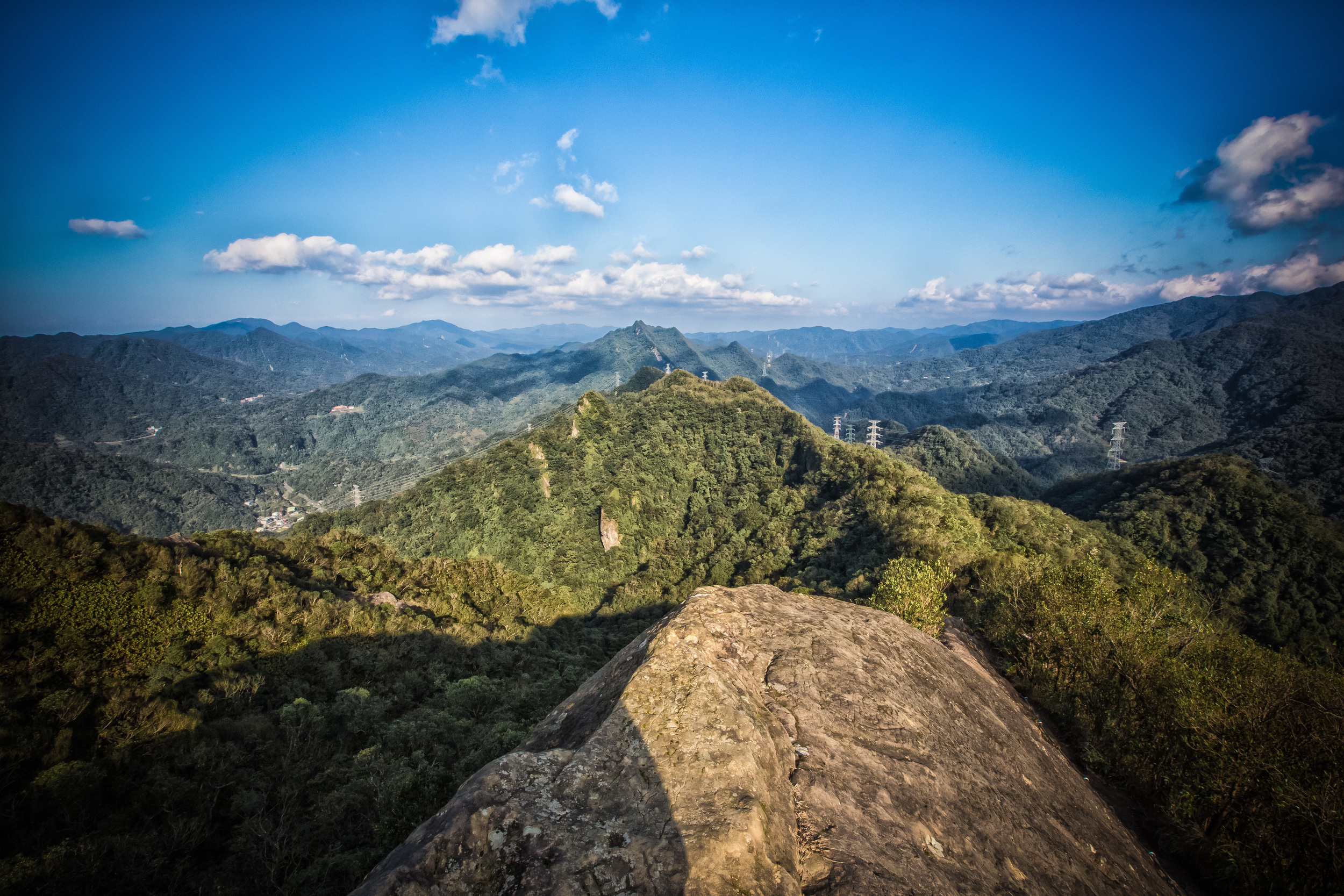
The Dabao River (大豹溪) is one of New Taipei City’s most important rivers, sourced from high in the mountains and flowing down into Sanxia District (三峽區). Today the river is part of a popular recreation area where tourists can camp, bbq, fish and enjoy beautiful natural waterfalls like Yunsen Waterfall (雲森瀑布), among others. Originally home to the Takoham (大嵙崁), a tribe belonging to the Tayal Indigenous group (泰雅族), who made their homes along the river where they hunted, fished and farmed for their sustenance.
Prior to the arrival of the Japanese, the Qing under the leadership of Governor Liu Mingchuan (劉銘傳) entered the Takoham area in order to start the extraction of camphor resulting in the Takoham Incident (大嵙崁社事件), which took place between 1886 and 1892, just as the Qing cancelled its prohibition on entering Taiwan’s mountainous regions (開山撫番).
This incident was one of the first attempts by the Qing to enter the mountains and despite having relatively modern weaponry for the time, the various Tayal villages in the area banded together to resist and were relatively successful in repelling the Chinese from advancing into their territory. They did however suffer heavy losses, which would become an issue a few short years later when the Japanese took control of the island and set their eyes on the camphor in their territory.
Prior to the advance of the Japanese army, camphor stations were constructed in the Dabao River area near Sanxia. This met with indigenous resistance not only because the Japanese were entering their territory, but because some of the Japanese workers had captured Tayal women and used them as sex slaves. Using violent clashes as a justification, the colonial government sent the army marching into the mountains starting what would become the second bloody resistance in as many years.
Guerrilla warfare between the Tayal people (and anti-Japanese Han residents) lasted for years with the Japanese suffering considerable losses and ultimately resulting in a truce. Unfortunately for the Takoham tribe, the losses were devastating and by 1921 (大正10年) the vast majority of them relocated higher in the mountains to Pyasan (比亞山), which is currently known as Taoyuan’s Fuxing District (復興區).
When the colonial era ended and the Chinese Nationalists took control of Taiwan, former residents of Takoham made an official request to the government for the return of the ancestral homeland. One such figure, Losing Watan (樂信·瓦旦 / 渡井三郎) was one of the most highly educated and vocal of the Tayal community through his capacity as a medical professional and later an elected member of the (defunct) Taiwan Provincial Consultative Council (臺灣省參議會).
His fight for ethnic rights and representation within the “democratic” Republic of China came to an unfortunate end as he and several others who advocated for indigenous rights (and the return of their ancestral homeland), were charged with espionage and treason (高山族匪諜案) and executed.
Link: Losing Watan Memorial Park (樂信瓦旦紀念公園)
Political control of Taiwan might have shifted from the Japanese to the Chinese Nationalists after the Second World War, but the death of someone as accomplished as Losing Watan and his compatriots is just another one of the sad events that took place during Taiwan’s White Terror (白色恐怖) period and ushered in another era of cruelty against Taiwan’s indigenous people.
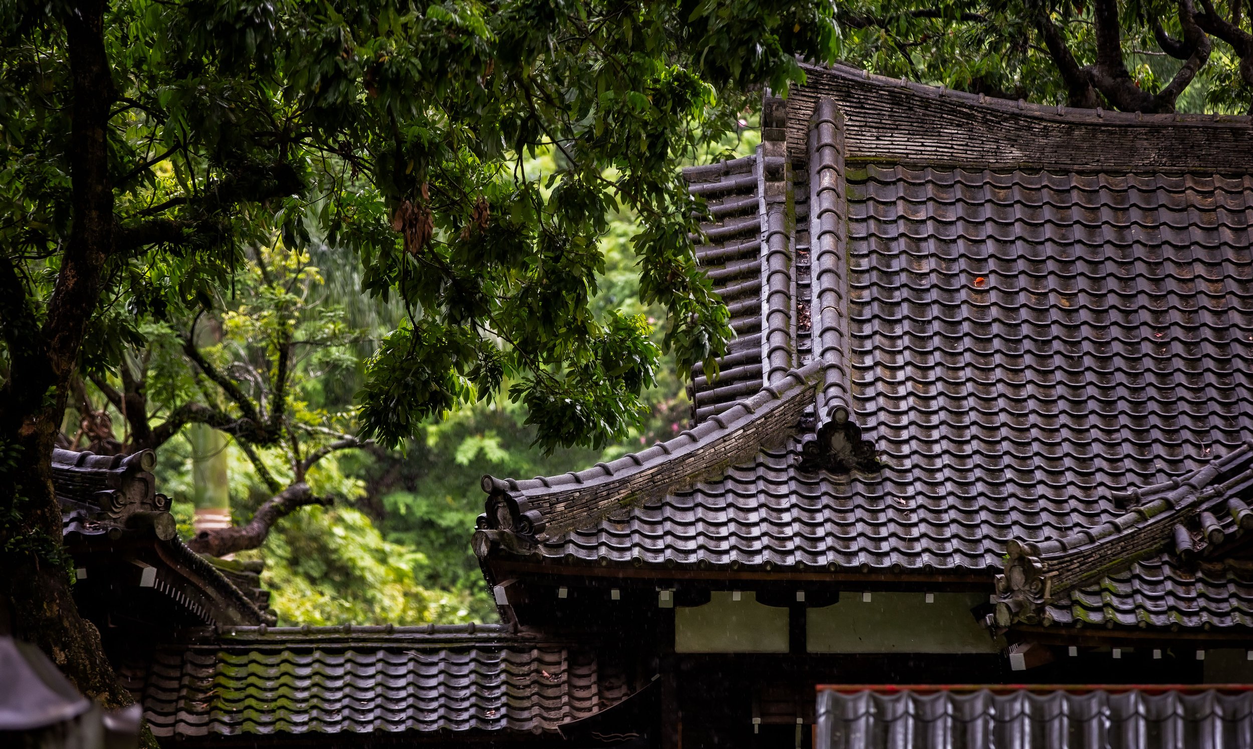
Sanxia Loyal Spirit Monument (三峽忠魂碑)
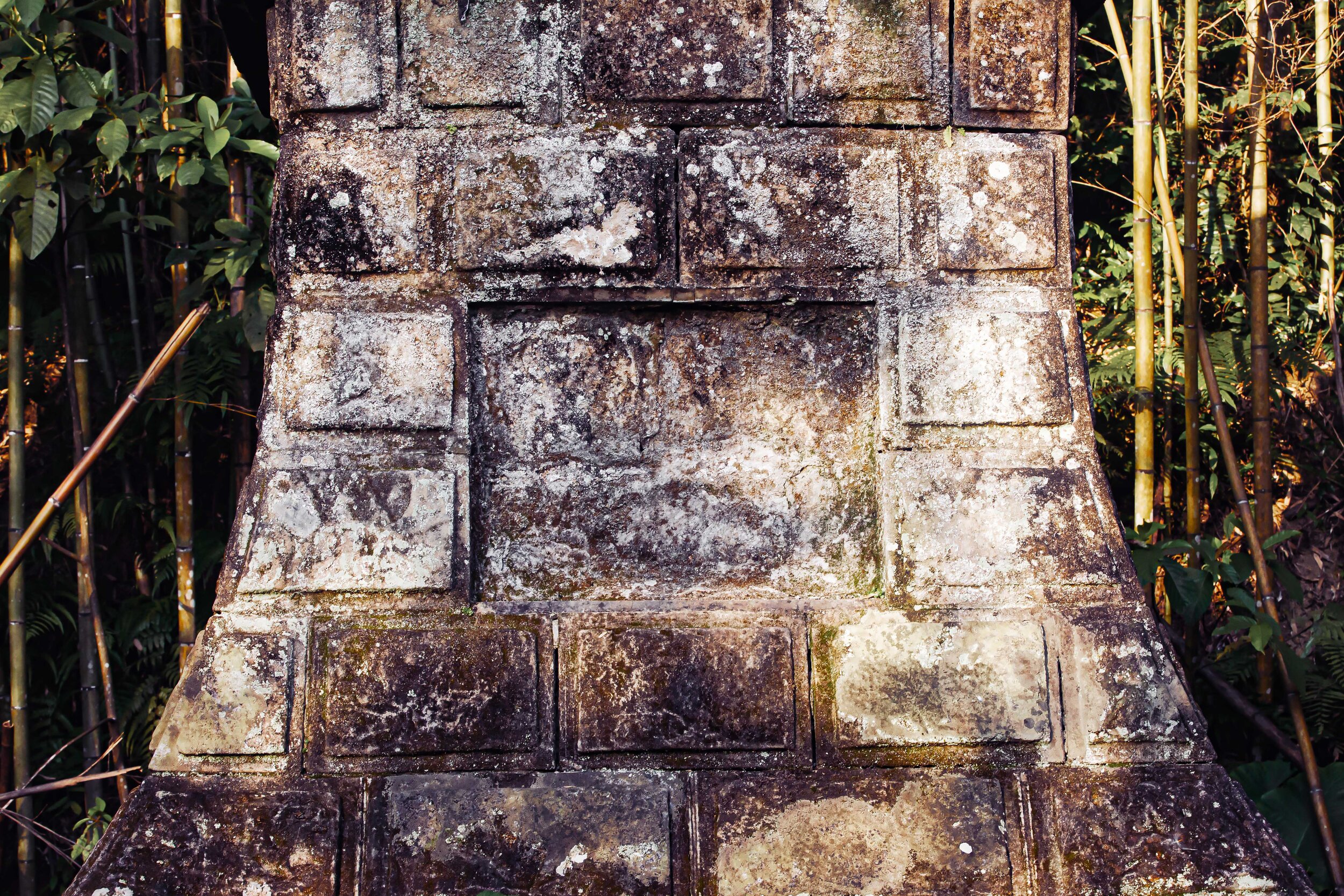
The Dabao Incident Monument was erected on a mountain deep within a beautiful bamboo forest along the Dabao River.
I’ve seen claims that the memorial was erected in a location where some of the violence took place, but historical records to that effect aren’t very well-documented, so it’s difficult to confirm. What we do know about the monument is that it was erected in 1930 (昭和5年) in honour of the fallen members of the Japanese Imperial Army who perished during the bloody incident. It has existed in obscurity for quite sometime as there are actually very few people who realize it even exists or know about its location, deep in a bamboo forest with little information to remind anyone that its there.
How it faded into obscurity shouldn’t really surprise anyone.
The Tayal residents who were most affected by the Dabao Incident moved deeper into the mountains and the Japanese who erected it left Taiwan when the war was over.
The memorial, which is literally a Loyal Spirit Monument (忠魂碑) is just one of many that were constructed throughout Taiwan during the colonial era dedicated to the ‘faithful who died in battle’, but is one of the few that actually remains standing and relatively unscathed after the regime change in the late 1940s.
Language Note: “Loyal Spirit Monument” - 忠魂碑 (zhong hún bei) - ちゅうこんひ (chuukonhi)
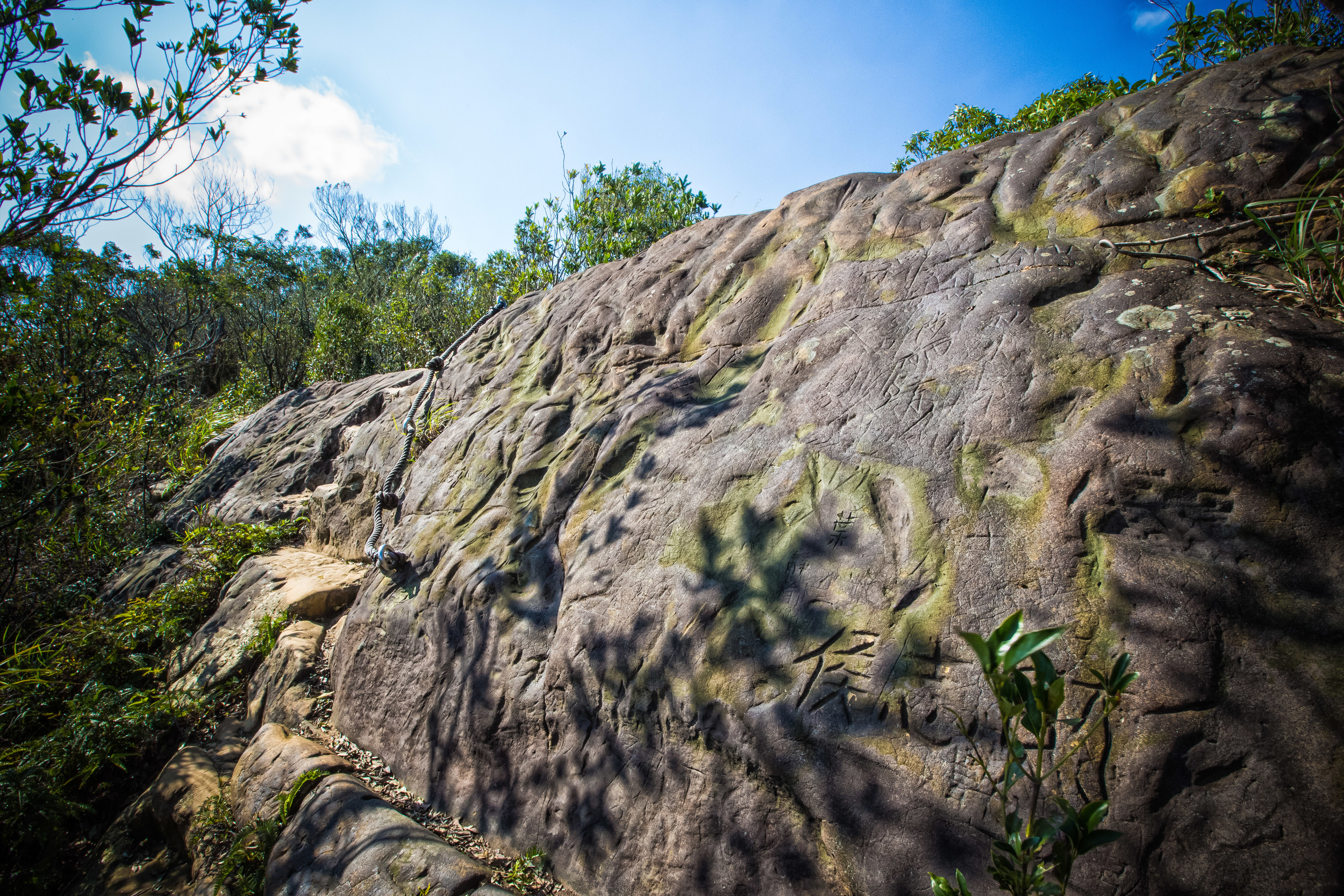
Using local materials, the shrine is elevated off of the ground on a carved stone base and features an exquisitely decorated plaque with beautifully carved calligraphy. The architectural design of the memorial is thought to be representative of the 1930s, which certainly makes it representative of that era in Taiwan’s history, despite its debatably nefarious origins.
Similar to a smaller Shinto Shrine, surrounding the monument you’ll find an elevated stone pedestal with small stone pillars on each of its four corners. The 25 ping (坪) pedestal was constructed for the practical purpose of ensuring that it wouldn’t be overtaken by the bamboo forest that grows around it as well as giving those who came to pay their respects a place to pray.
There are photos of the shrine that were taken by other explorers a few years ago that show that it was nearly consumed by nature after several decades without any proper attention or grounds keeping.
Recently however, it was recognized as a New Taipei City Historical Monument (市定古蹟) and has received some attention over the past year. This attention however has brought with it a debate about whether or not it should continue to exist, considering what it represents. Members of the Indigenous community have argued that it is representative of a dark period of history and is a bitter reminder of how the Tayal people have suffered through various atrocities.
The New Taipei City government on the other hand argues that the preservation and recognition of the memorial as a historical monument are a reminder of the past and how we should never make the same mistakes again.

No matter what your stance on the subject is, the memorial remains to this day so obscure that few people actually realize it exists. It is a painful reminder of an era of history that doesn’t really get mentioned enough here in Taiwan, so maybe the fact that it is still around will allow people to carefully examine the history like I have and learn more about the plight of the Tayal and the other groups of Taiwan’s indigenous peoples who have suffered so much over the past few centuries of foreign rule.
Getting There
So how is one to find this obscure war memorial?
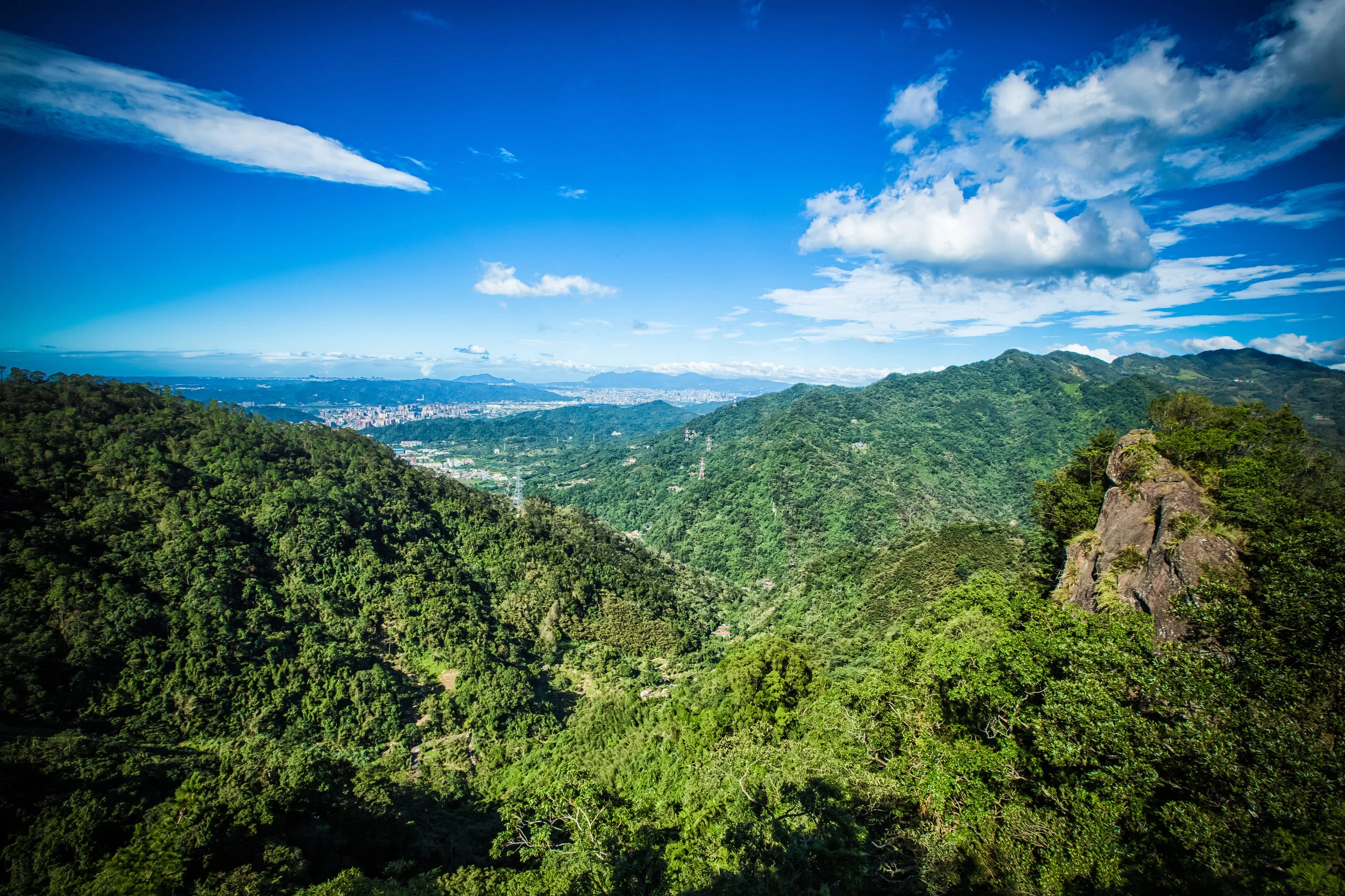
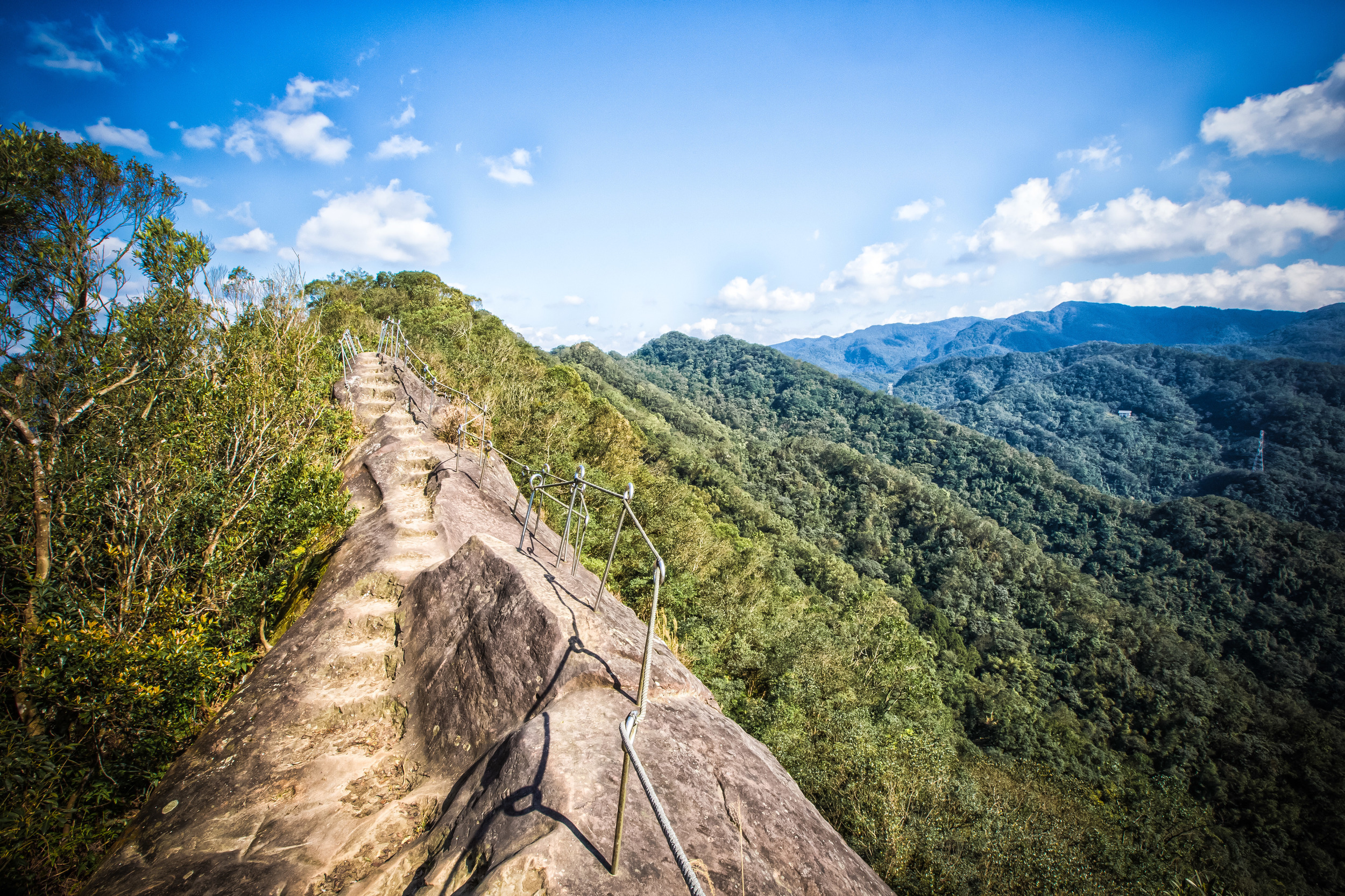
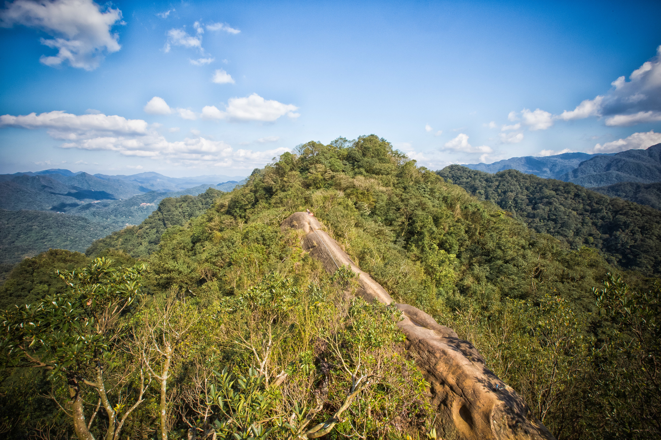
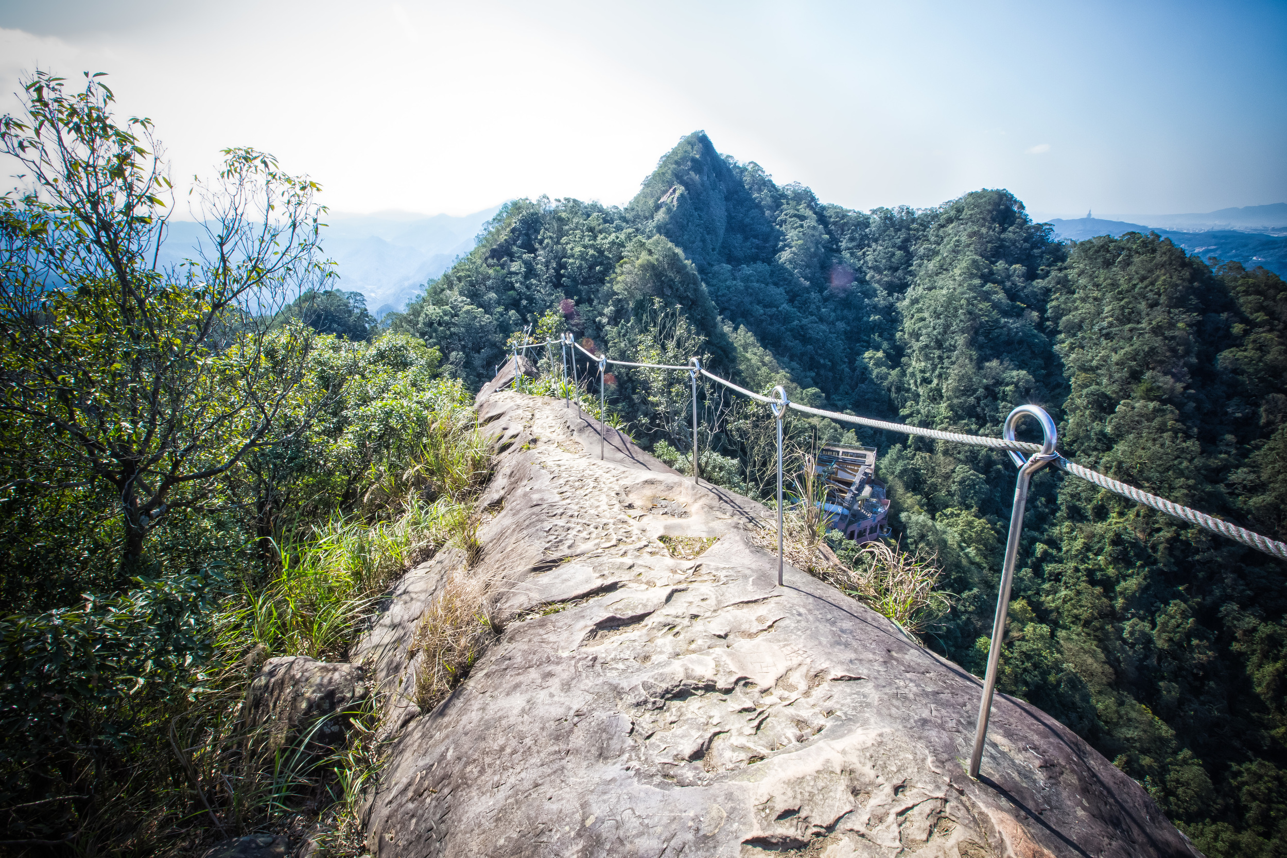
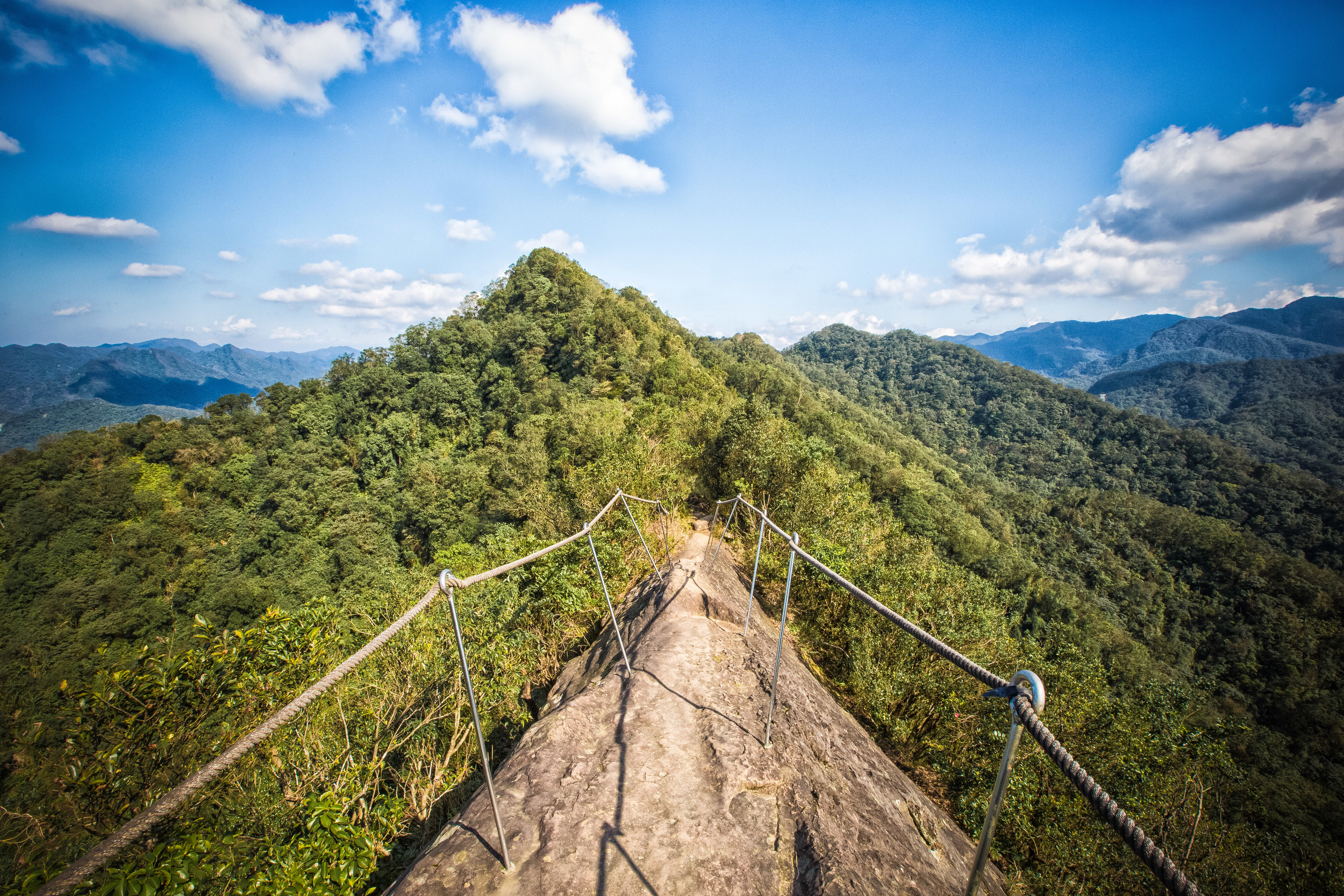
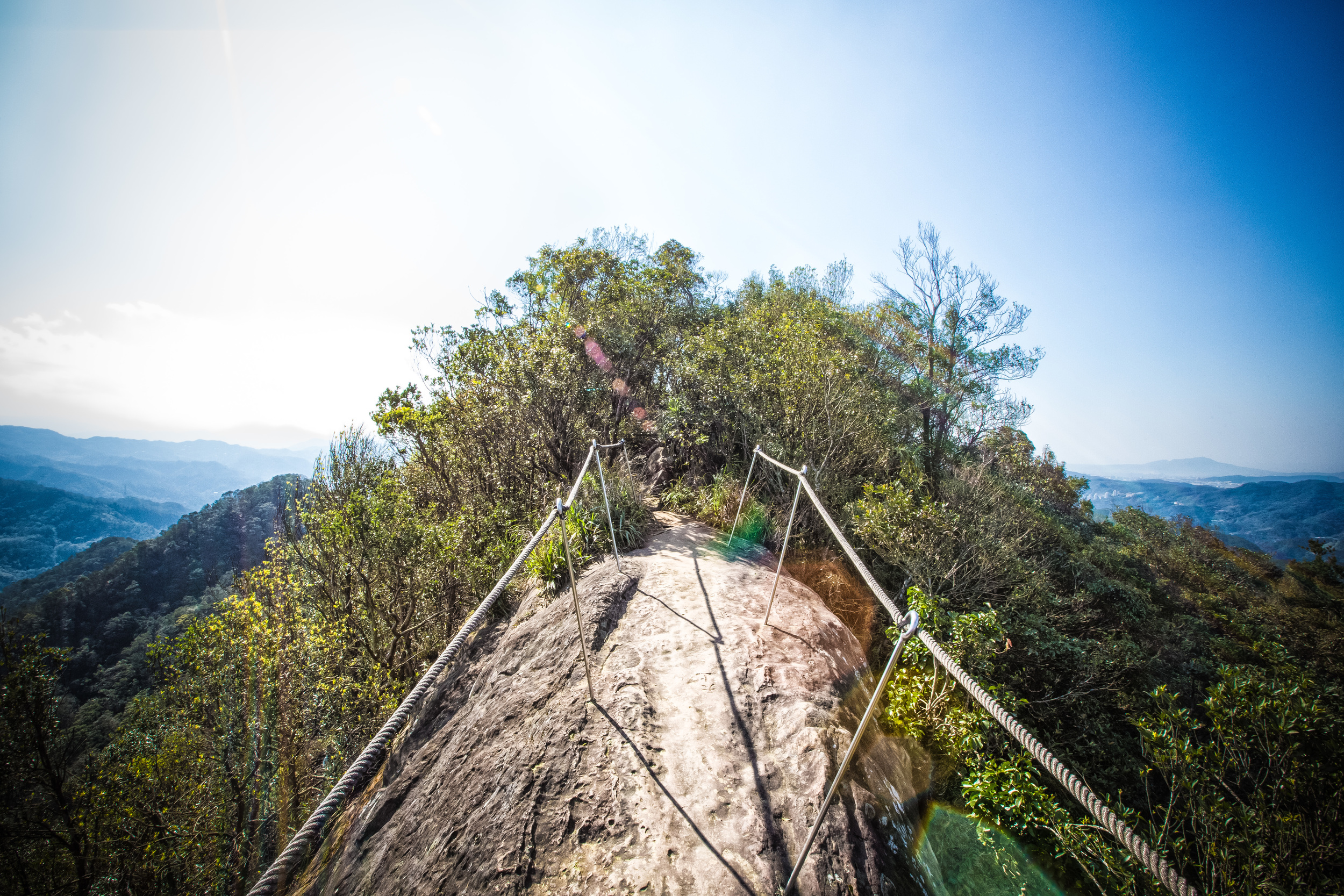
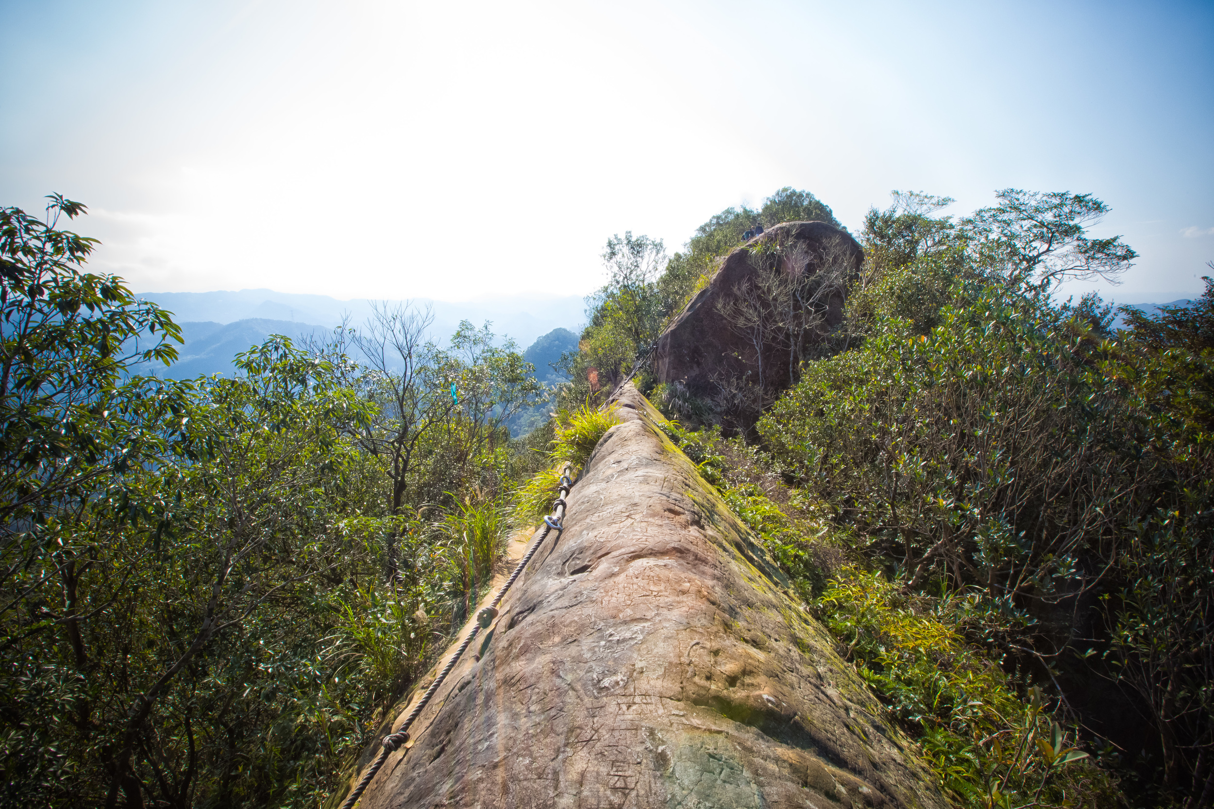
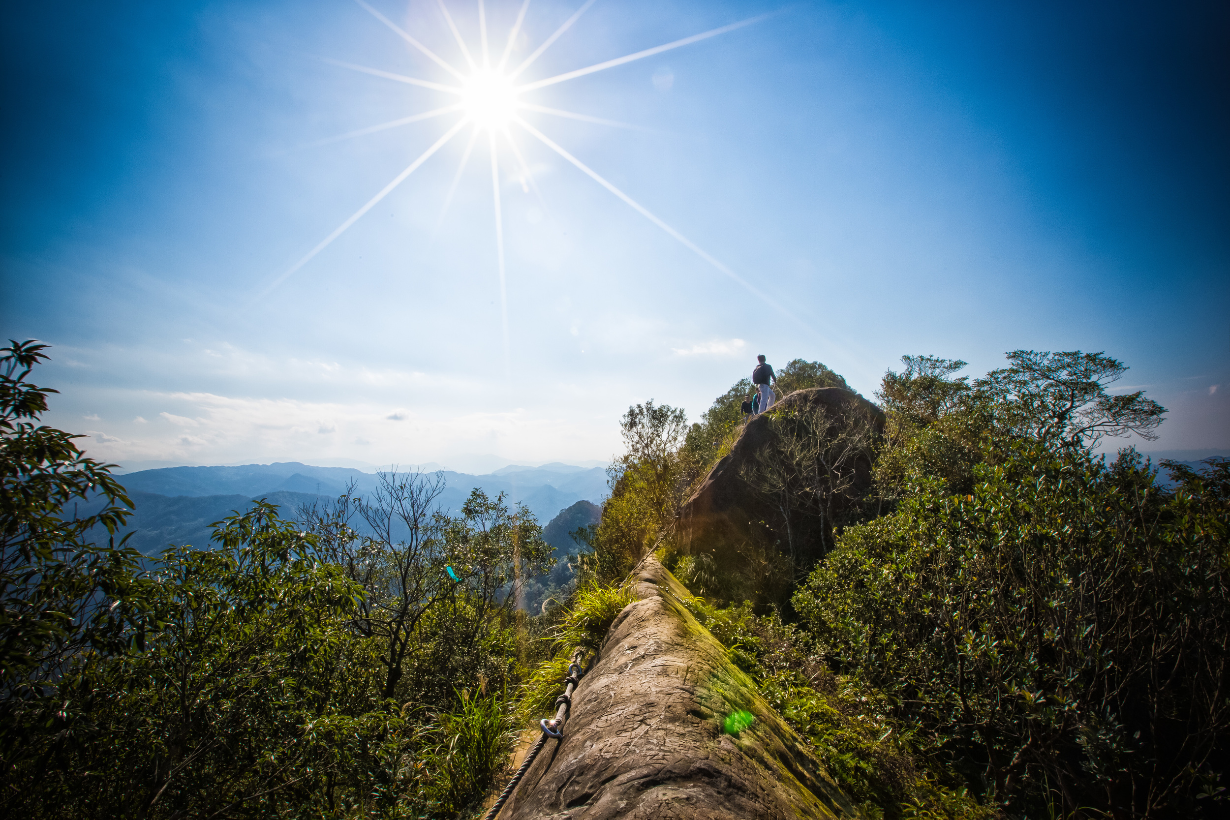
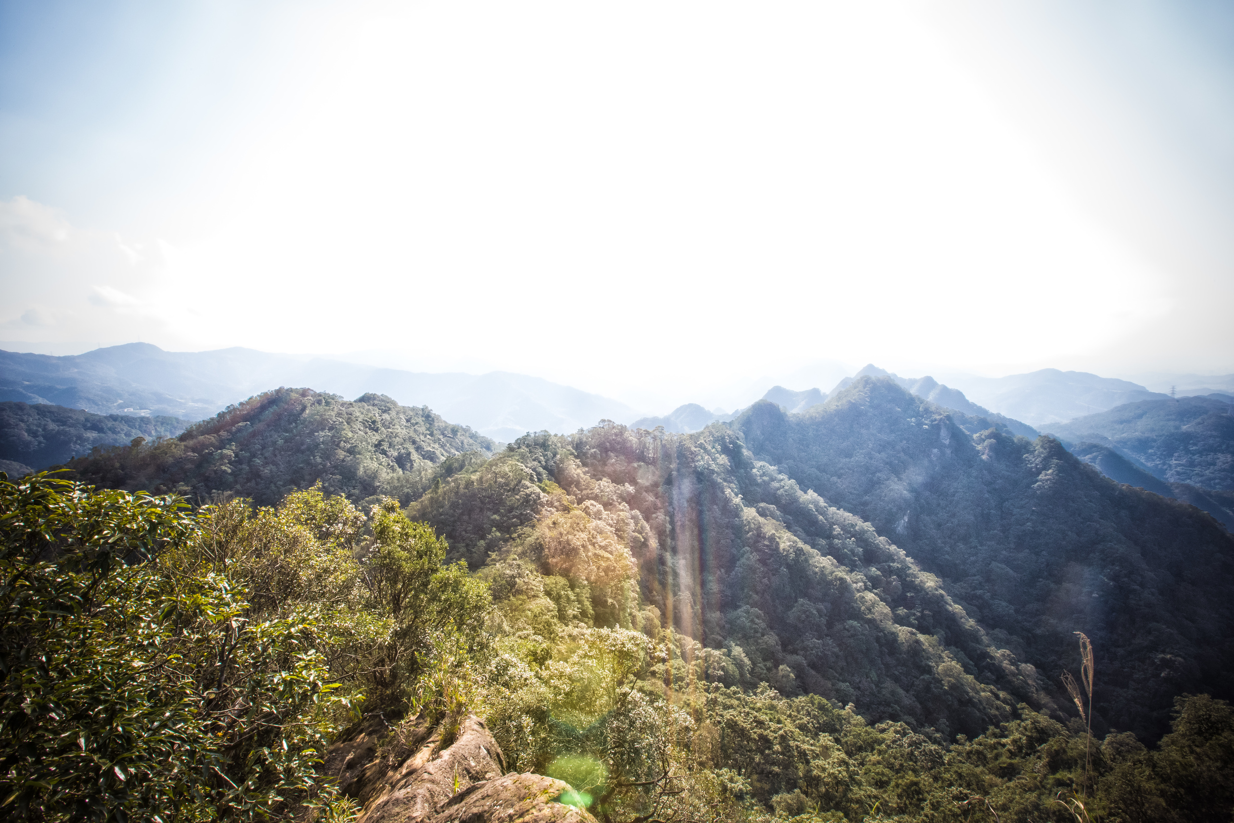
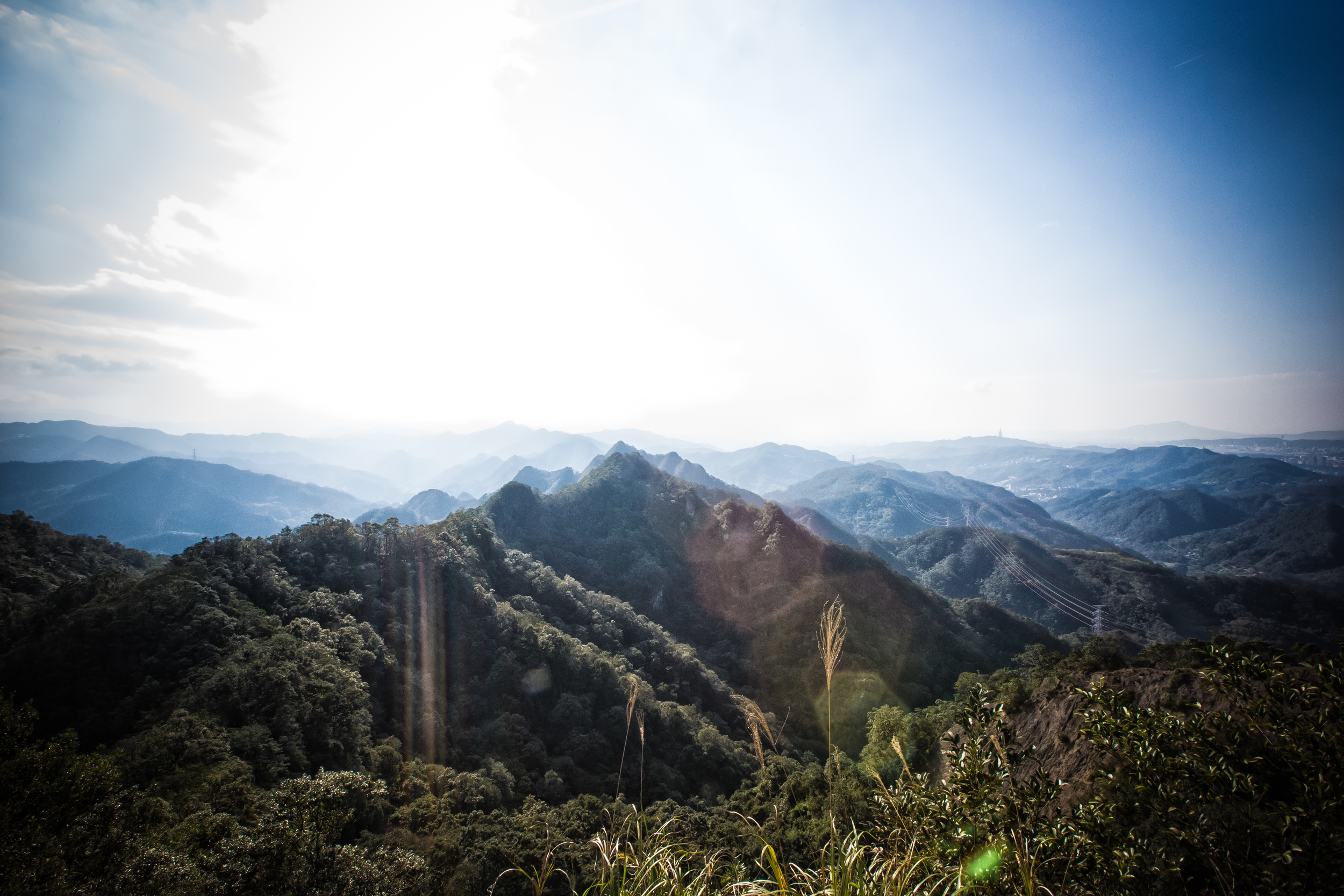
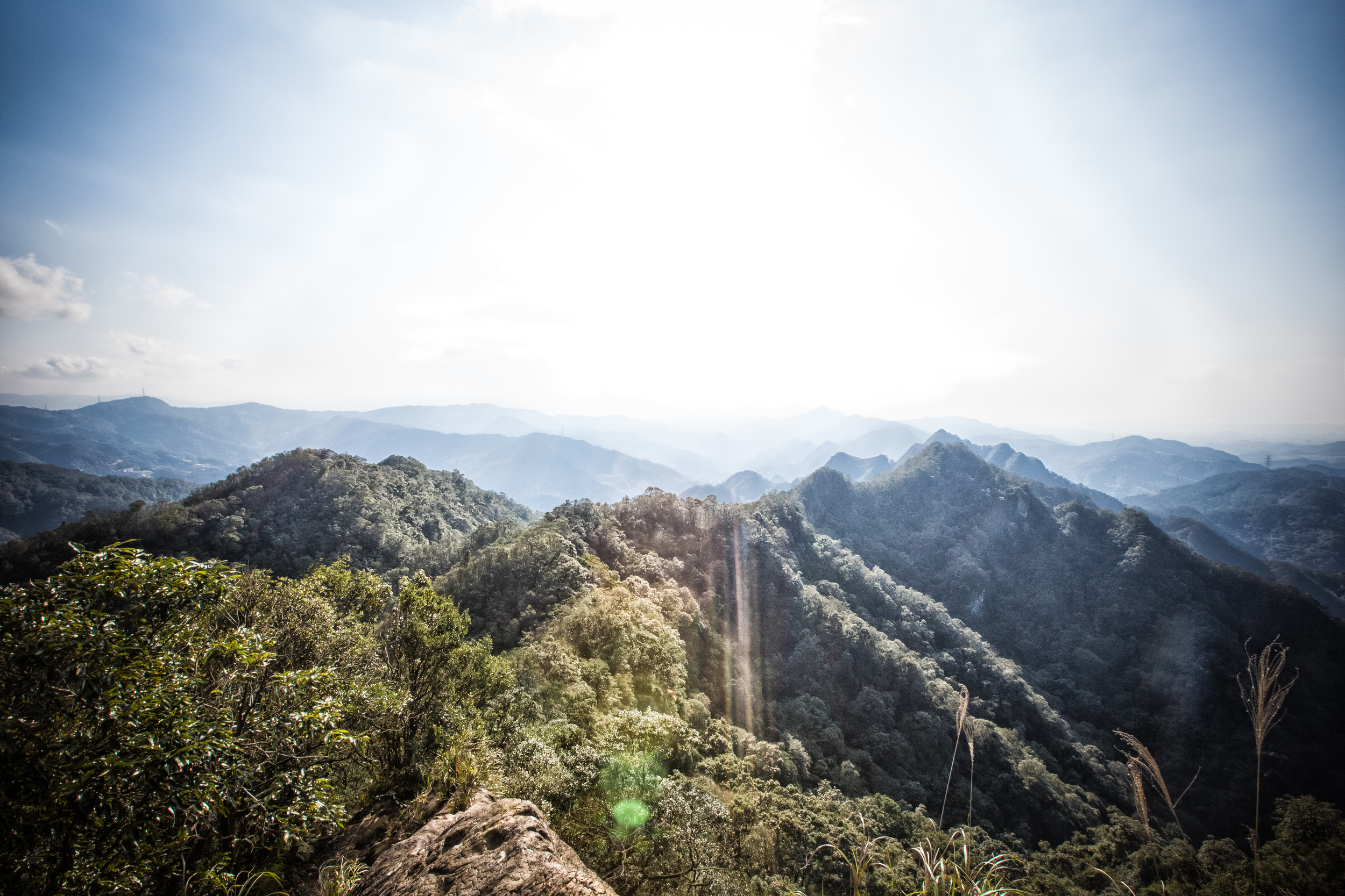
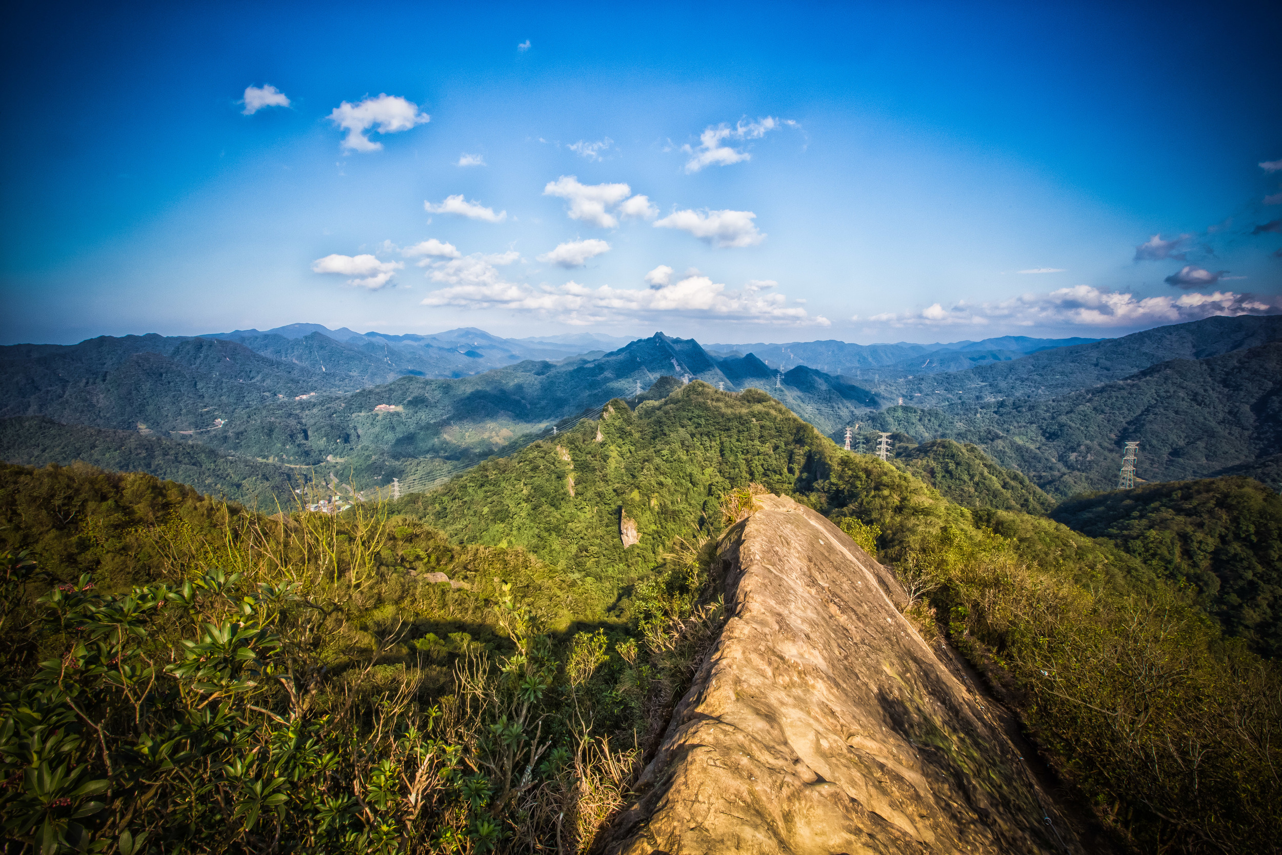
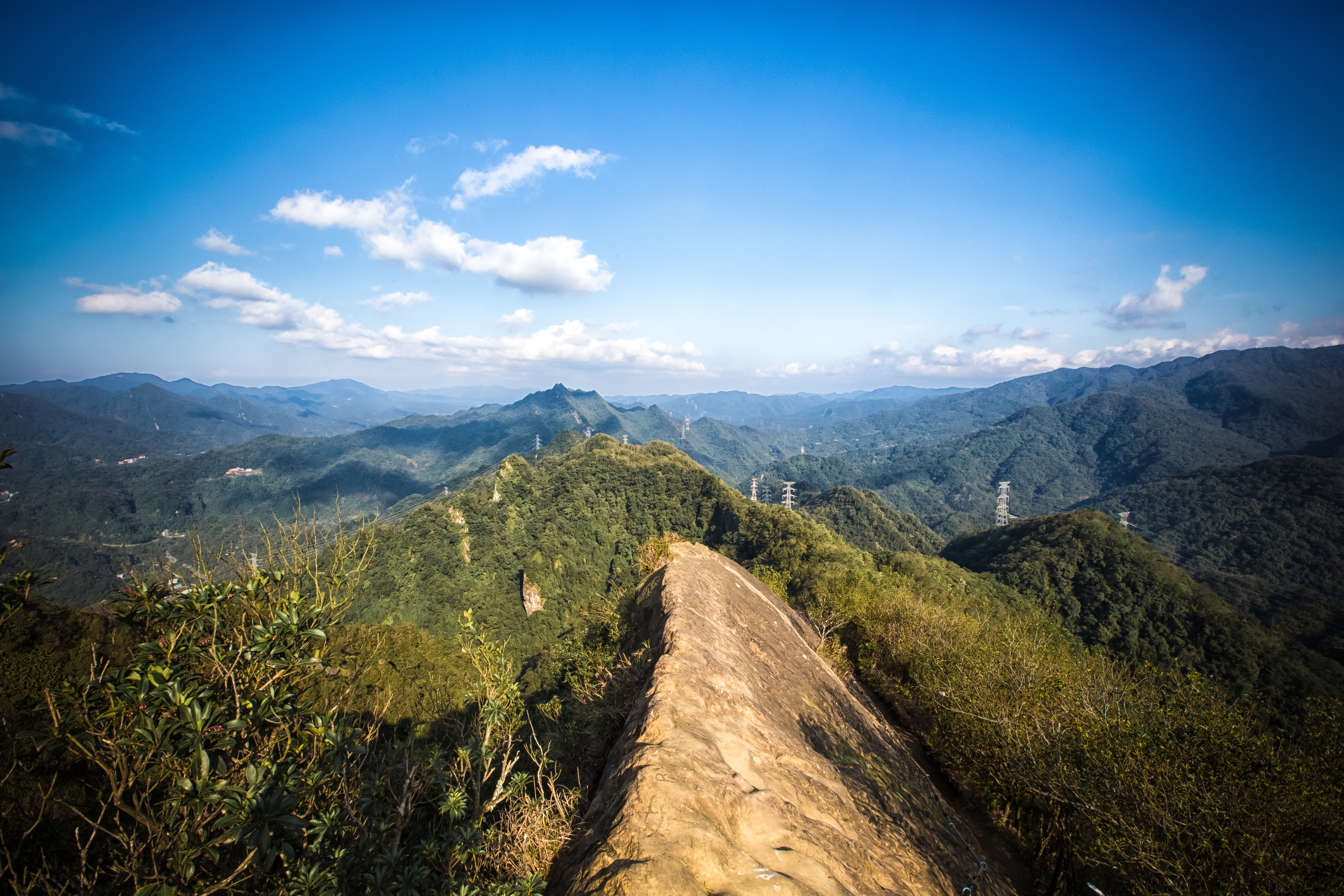
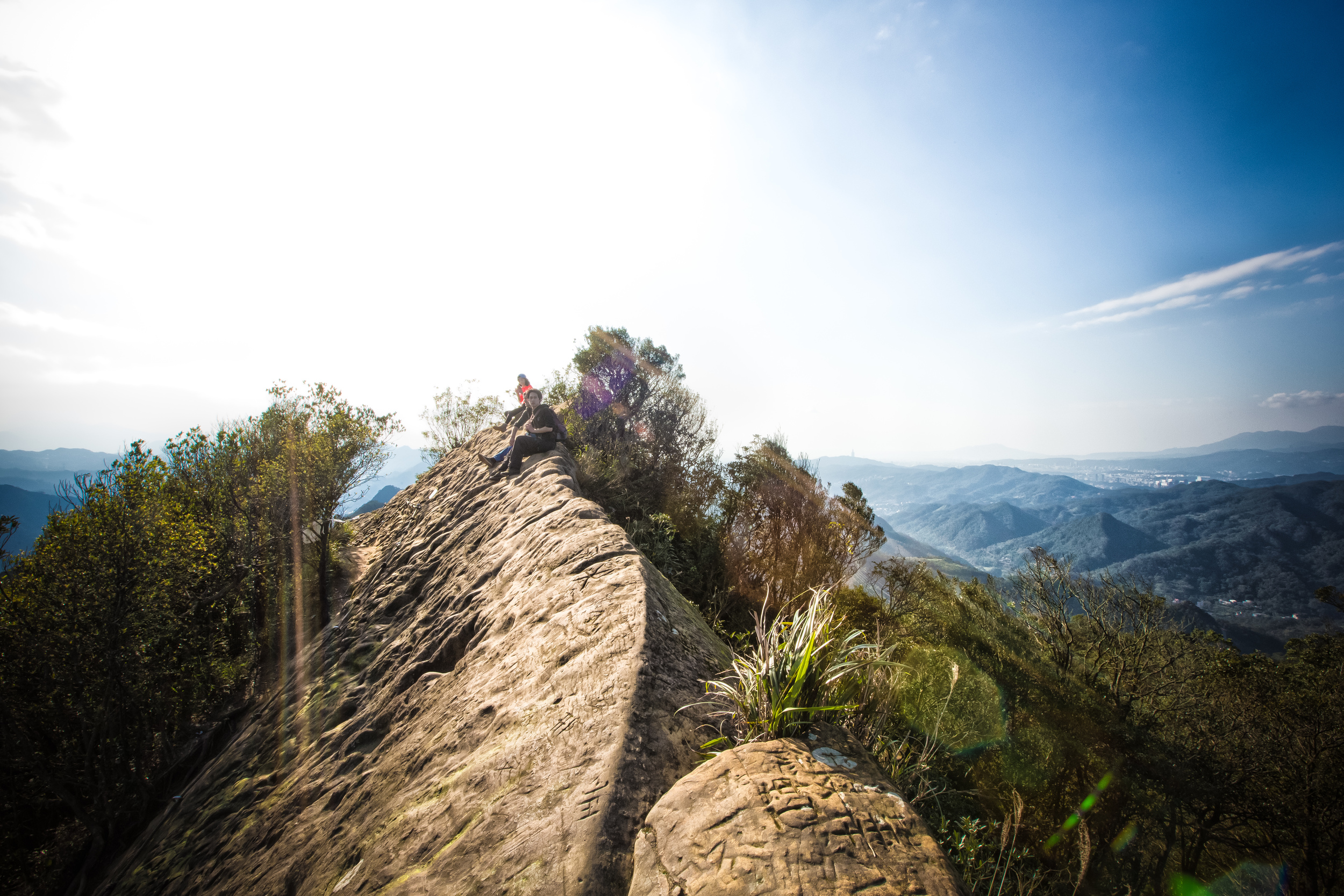
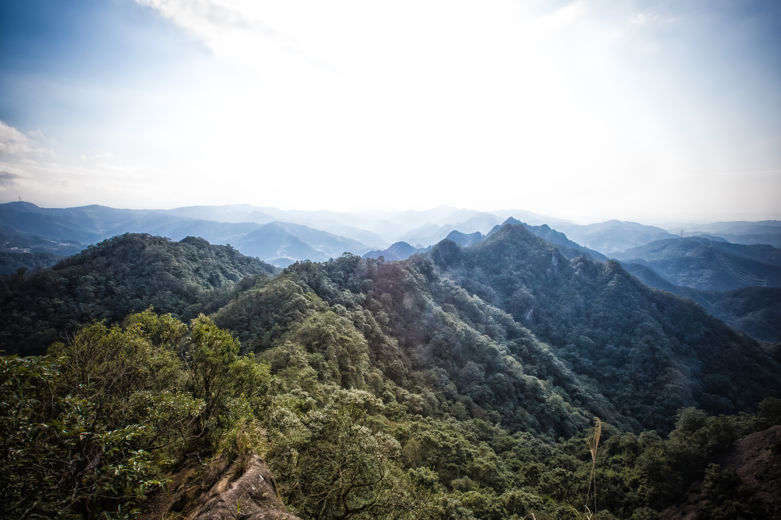
Well, it is located in the mountains near Sanxia Old Street (三峽老街) a few minutes up the road from the trailhead for Wuliaojian (五寮尖), one of the most popular hiking trails in northern Taiwan as well as being close to the beautiful Yunsen Waterfall (雲森瀑布)
That being said, unless you have a car or a scooter, getting there can be difficult.
The memorial is located on top of a small mountain that is on an obscure unmarked road off of the #114 North (北) highway that takes you to Manyueyuan National Forest Recreation Area (滿月圓國家森林遊樂園).
The road that takes you to the trailhead for the memorial is unmarked, so what you’ll want to keep in mind is that once you’ve passed by the trailhead for Wuliaojian and crossed the bridge on the 114, you’ll have to keep driving until you come across a lonely bus stop on the left side of the road. The bus stop, known as “Dayi Bridge” (大義橋) has an entrance to the steep mountain road that will bring you to the trailhead for the memorial on either side.
How will you know when you’ve reached the trailhead?
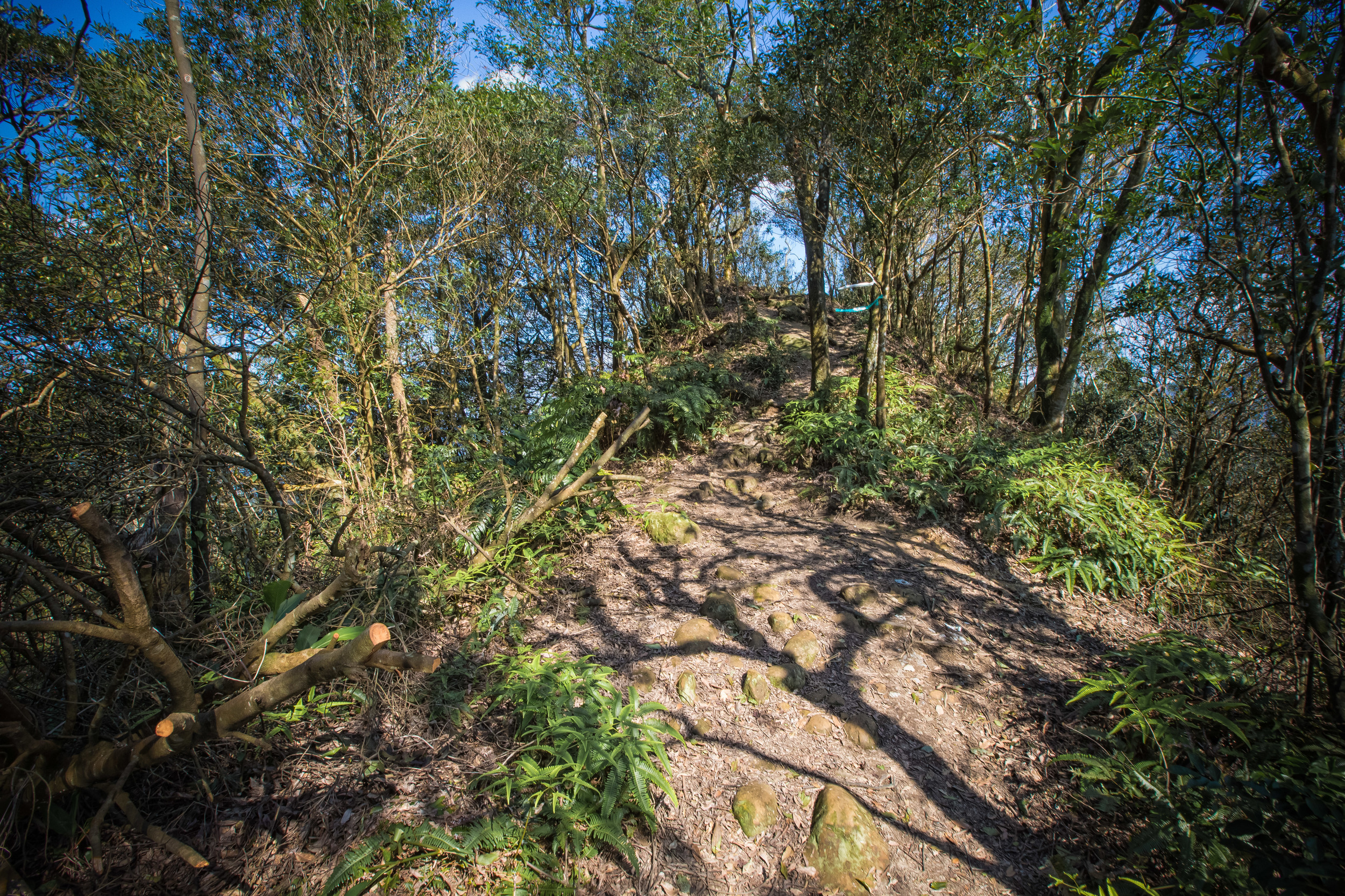
The best way is to look at the numbers on the telephone poles on the side of the road. Once you’ve reached #41, you’ve basically arrived. Next to the pole, you’ll find a run down pavilion that is probably used by the farmers who own the land, and the trailhead starts just beyond there.
This is the area where you’re going to want to watch for the mountain dogs, so be careful as they’re likely to start barking when they hear you coming. Given that they’re probably not used to many visitors coming around, they’re not really interested in your presence, so if you’re walking its probably a good idea to grab a stick somewhere along the road to protect yourself.


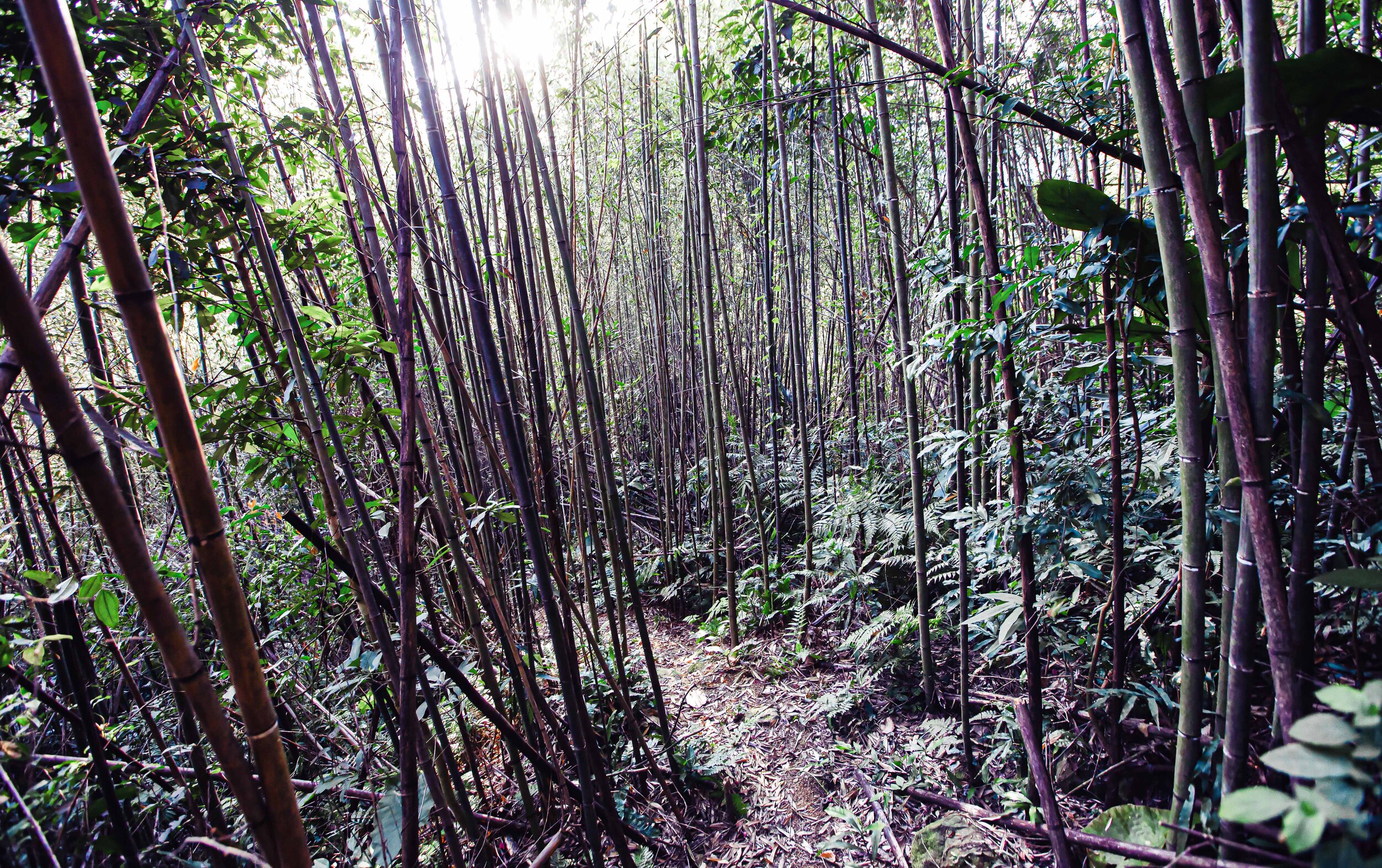
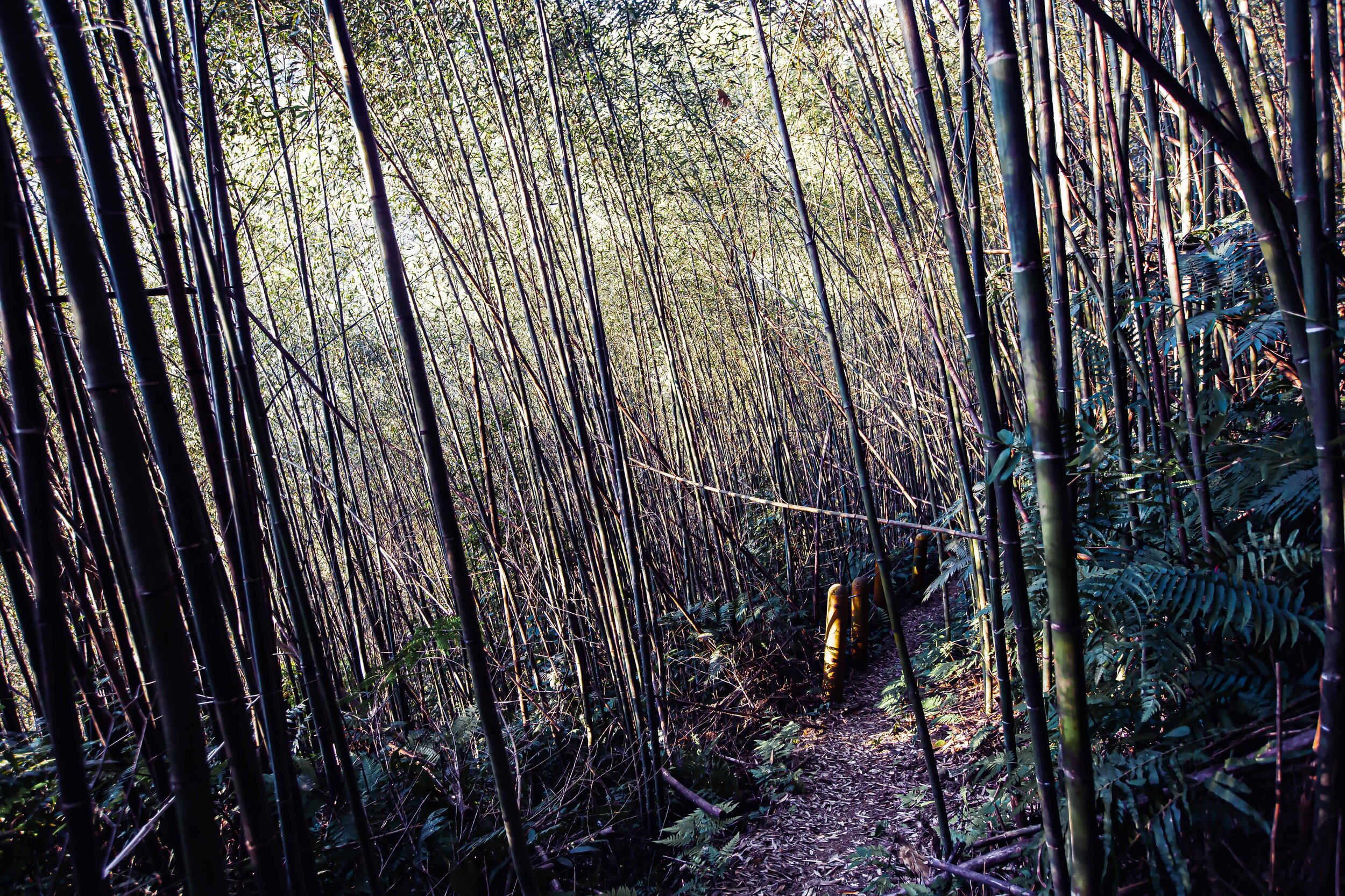
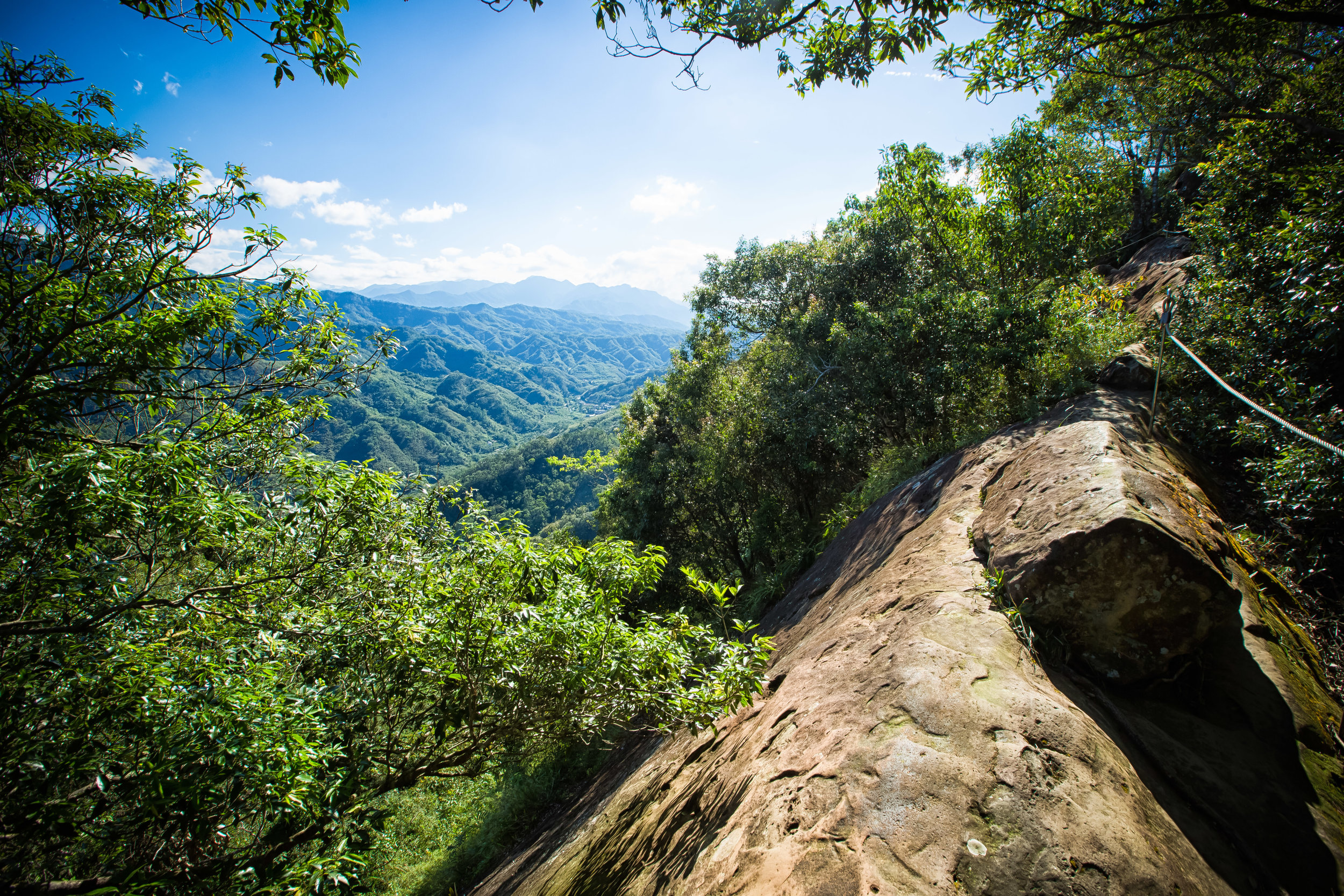
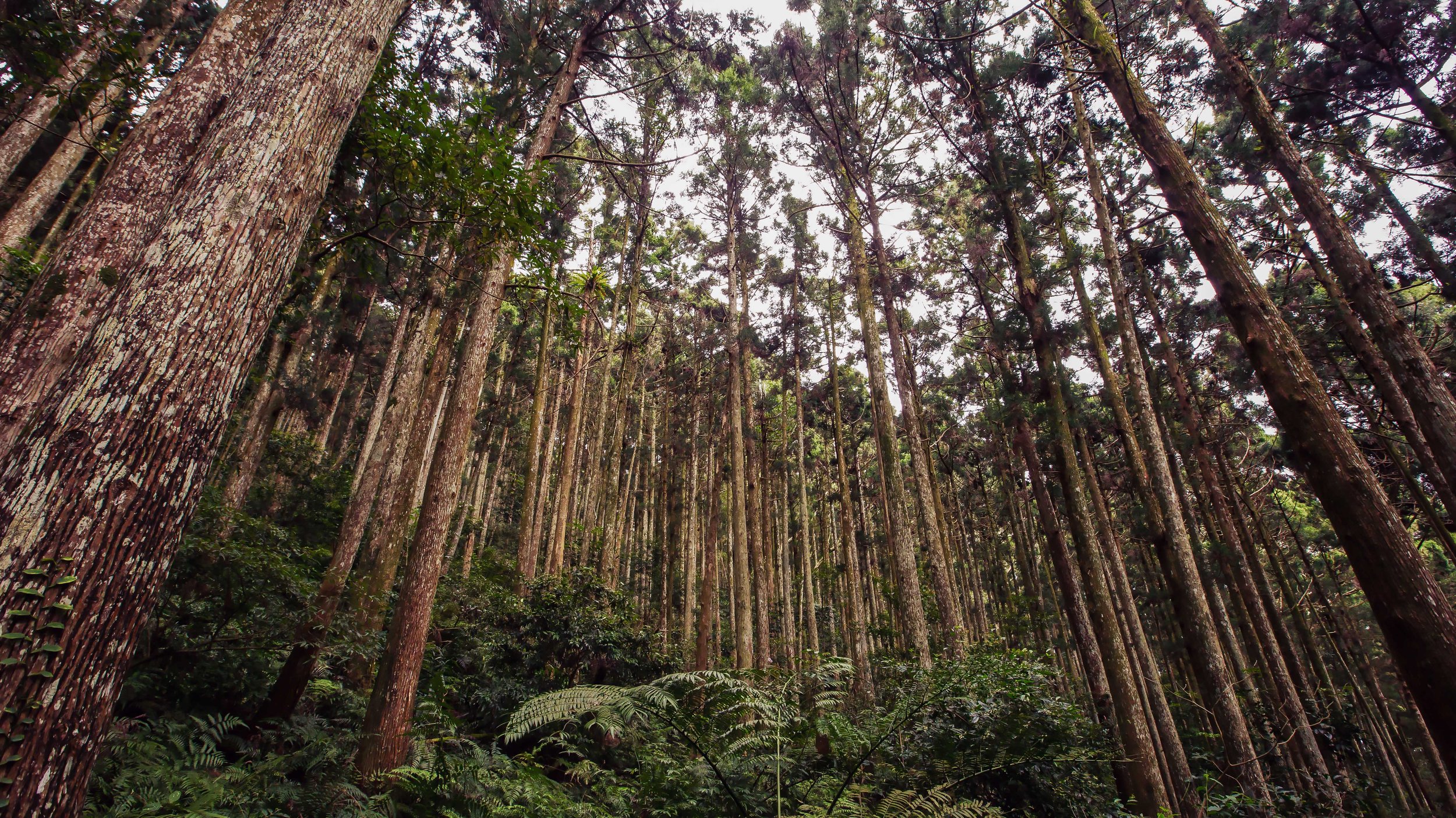
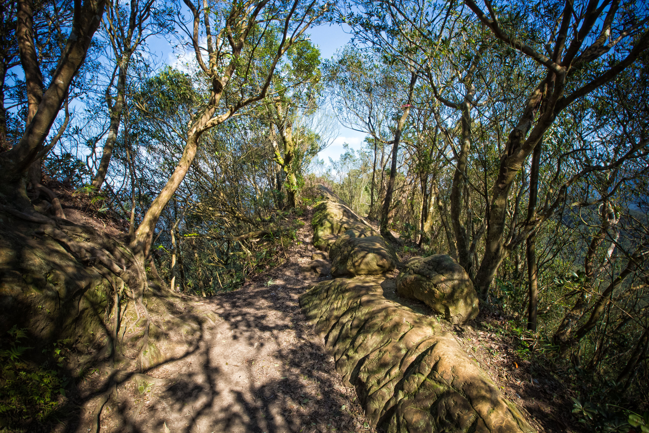
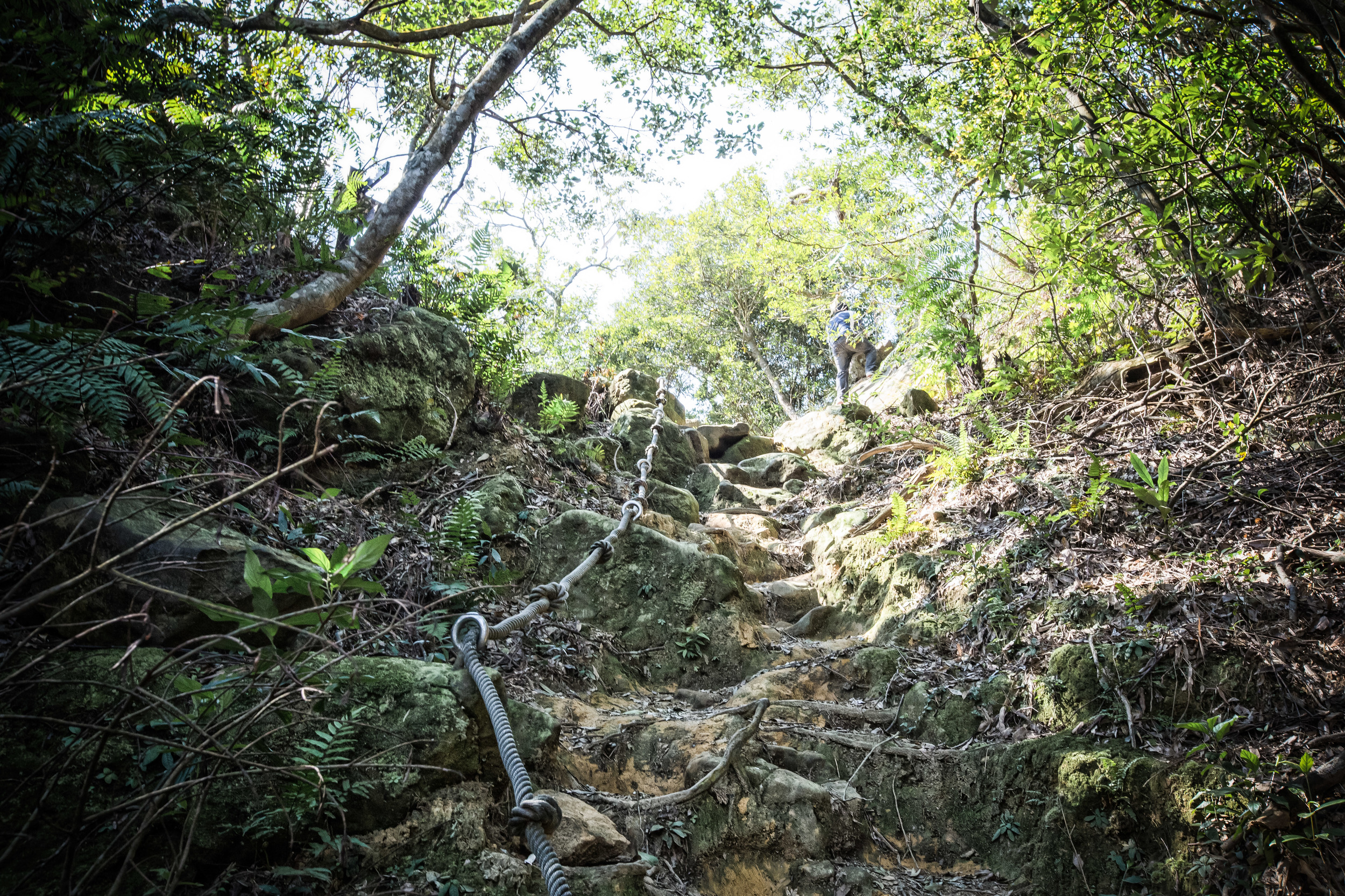
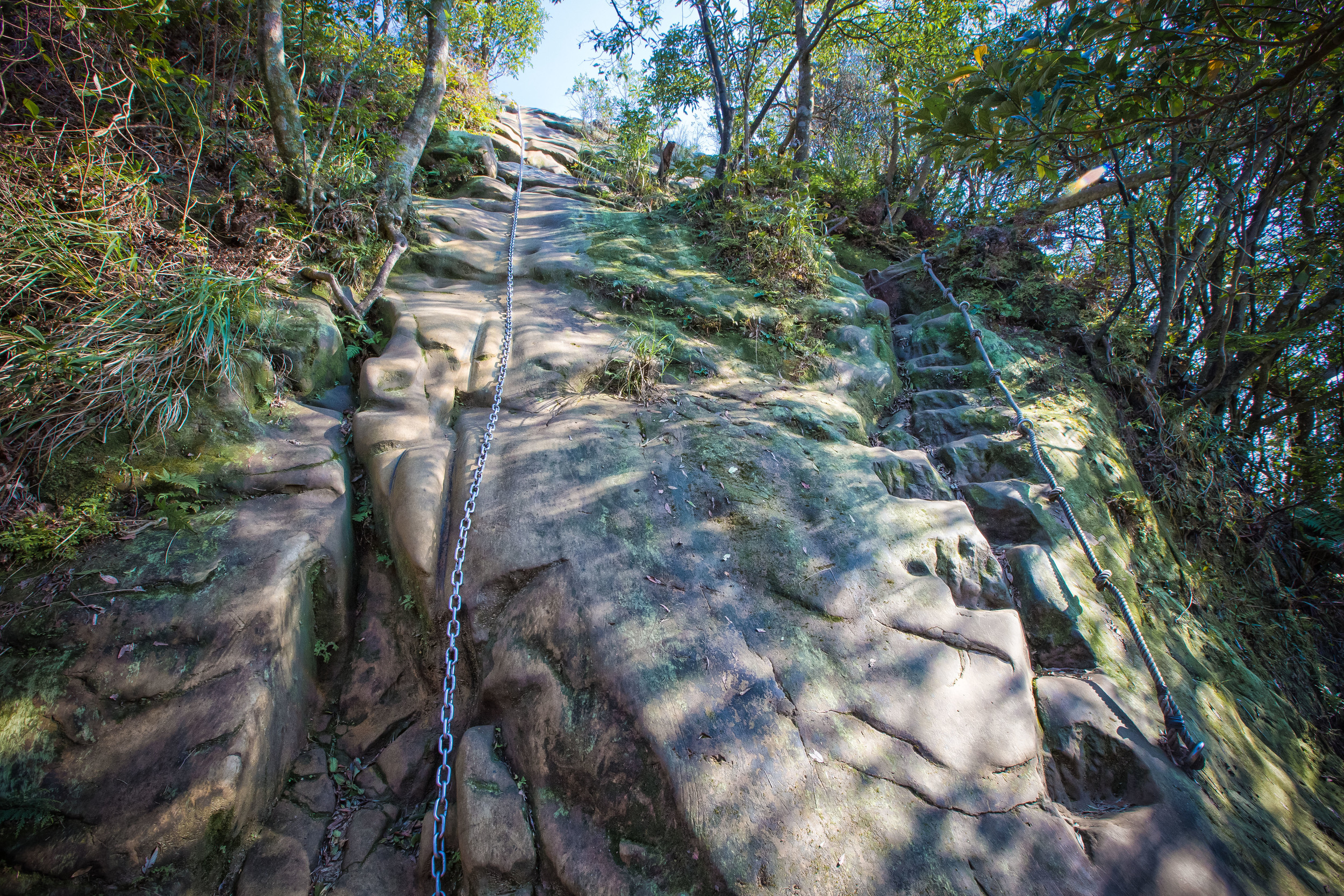
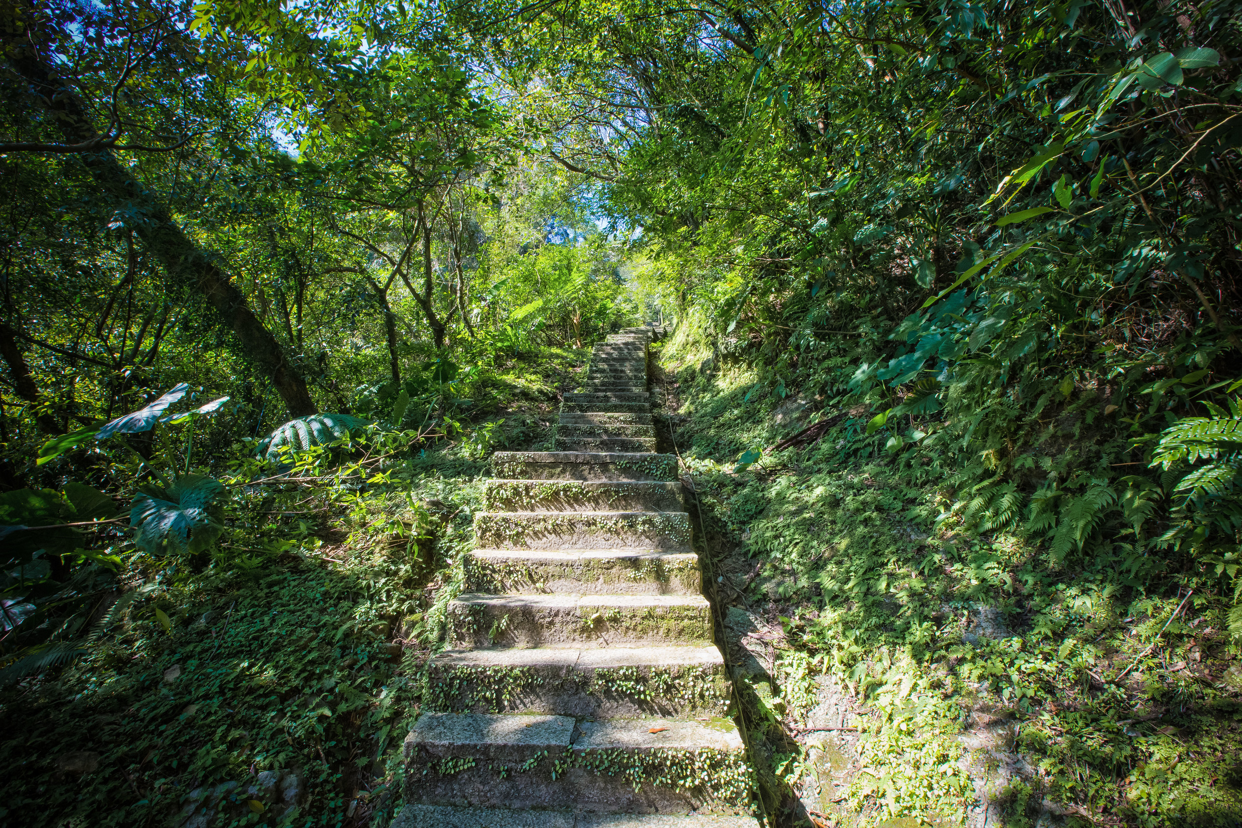
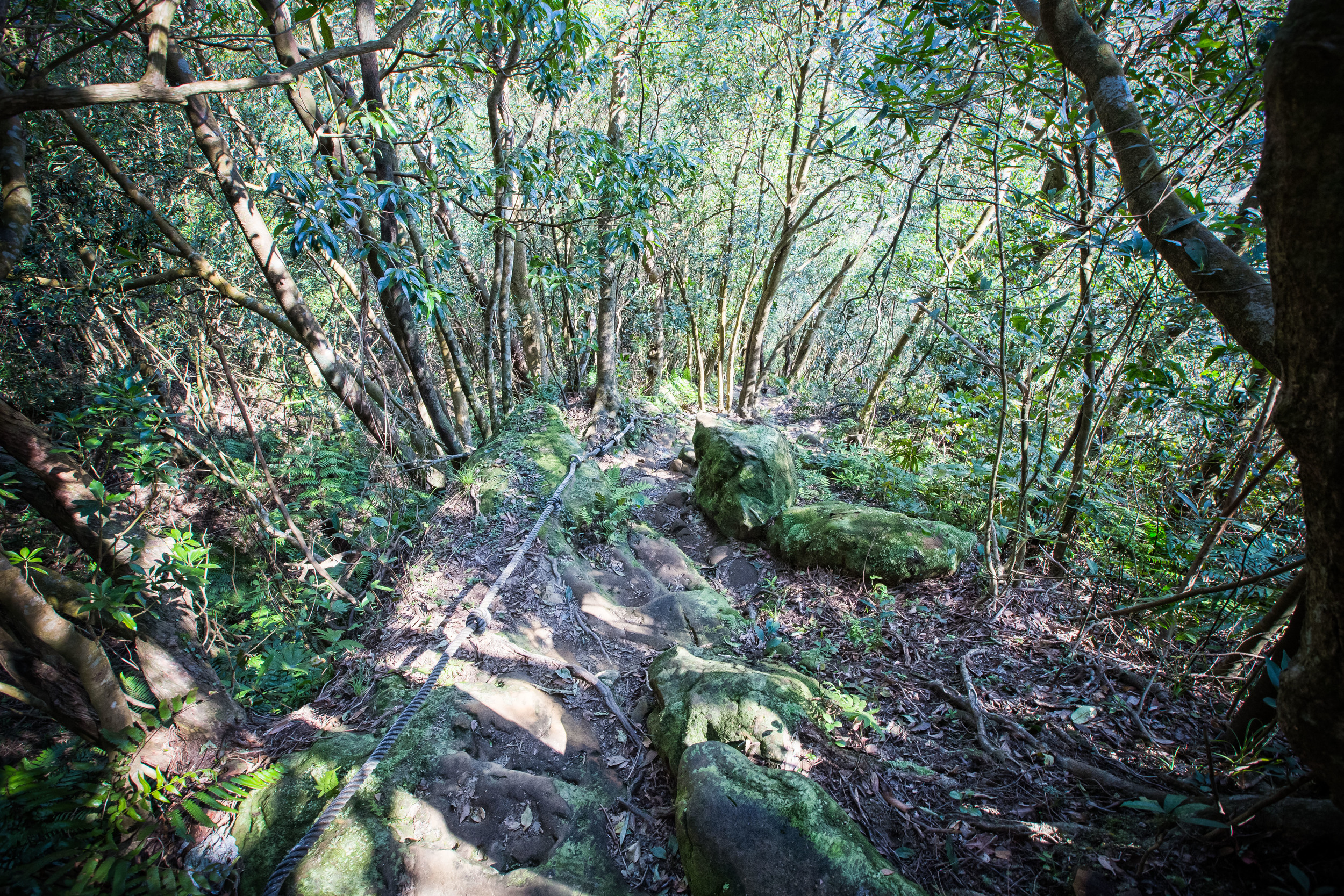
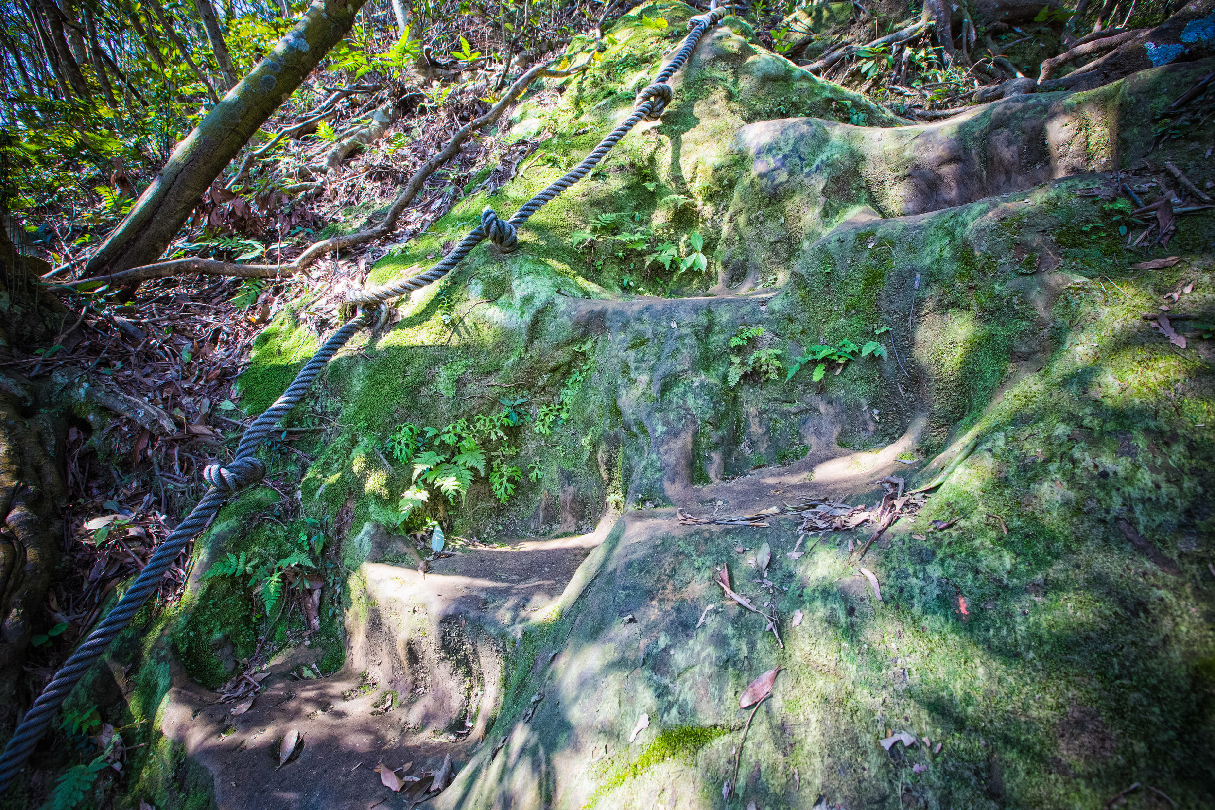
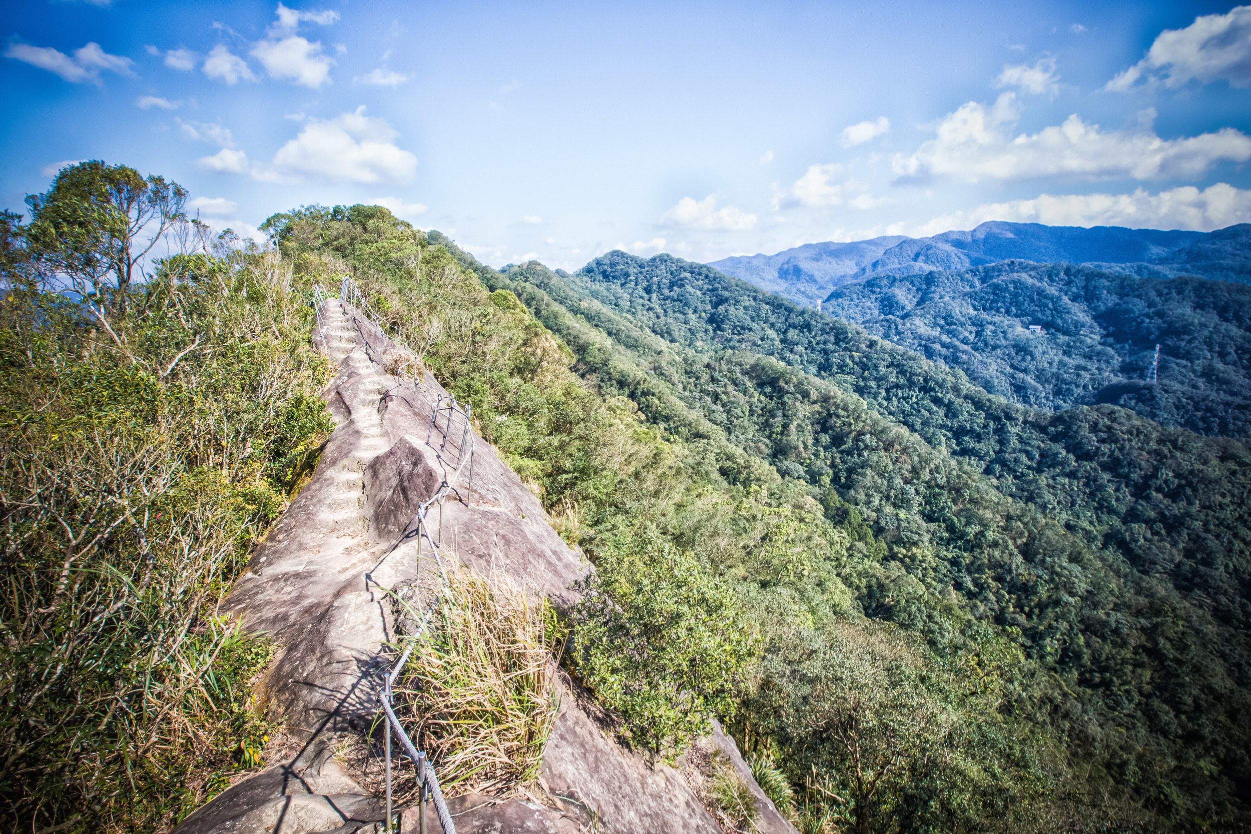
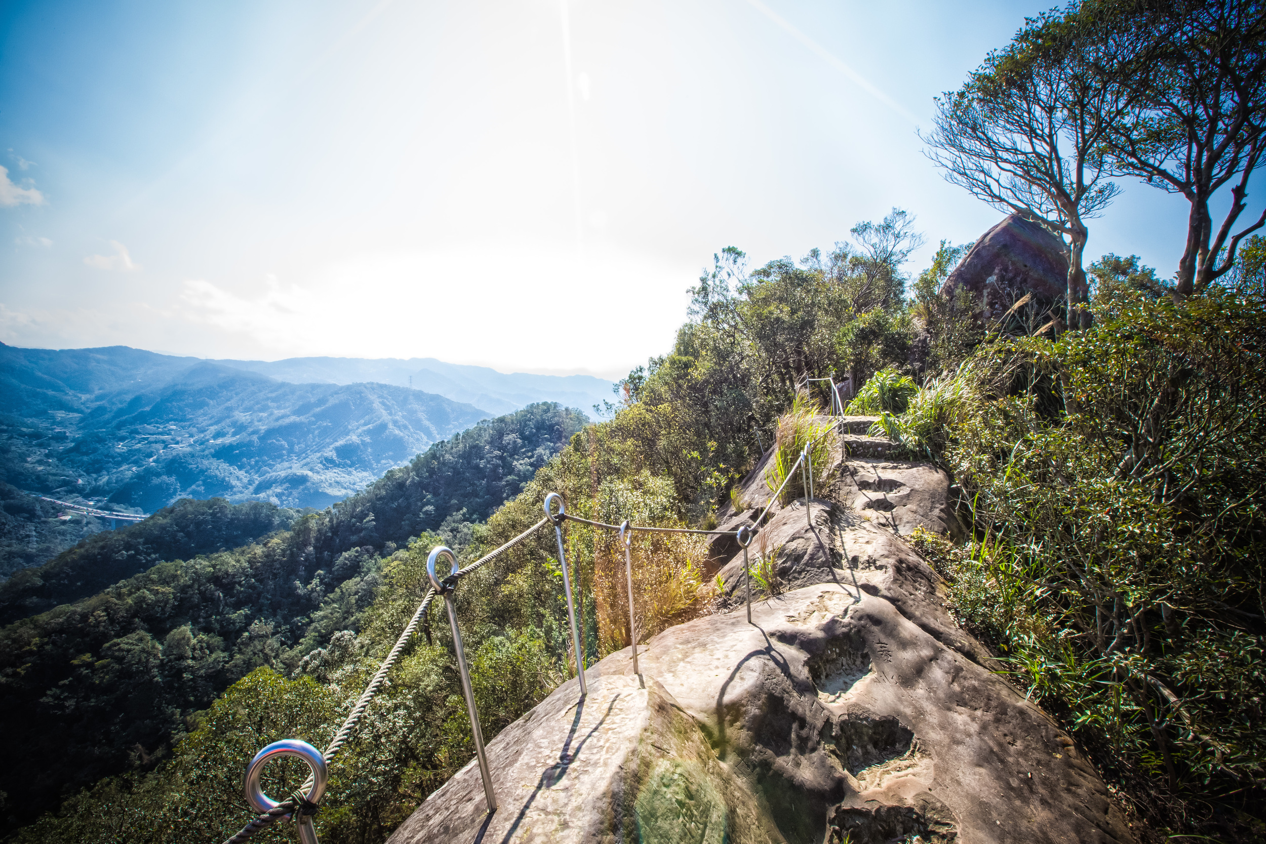
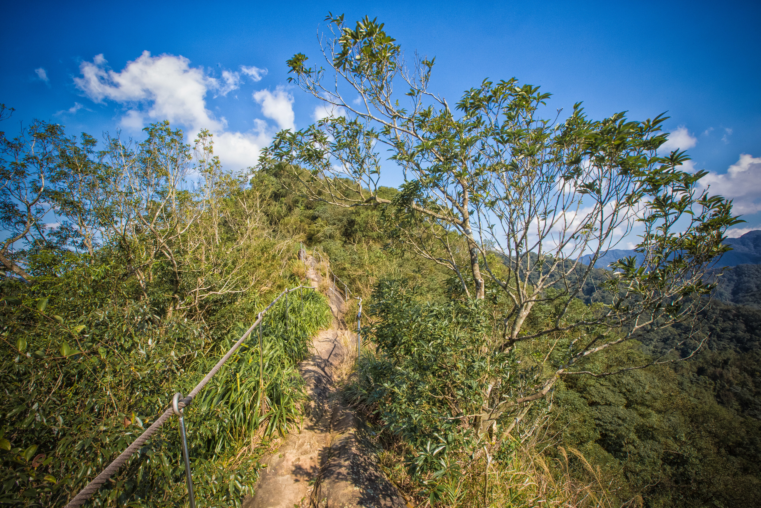
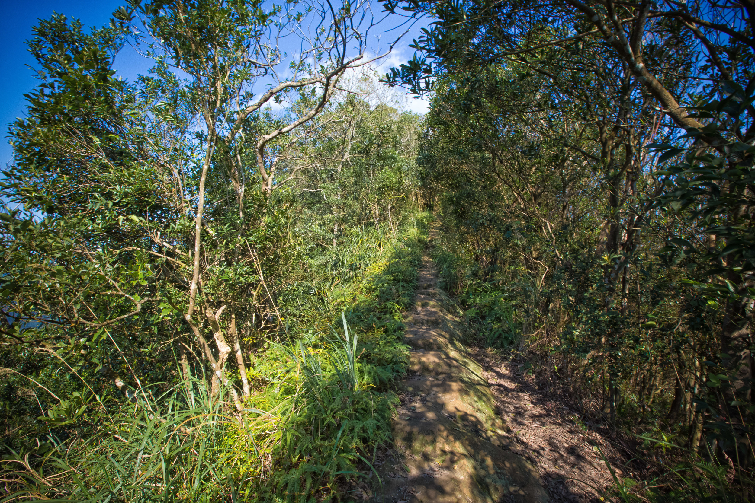
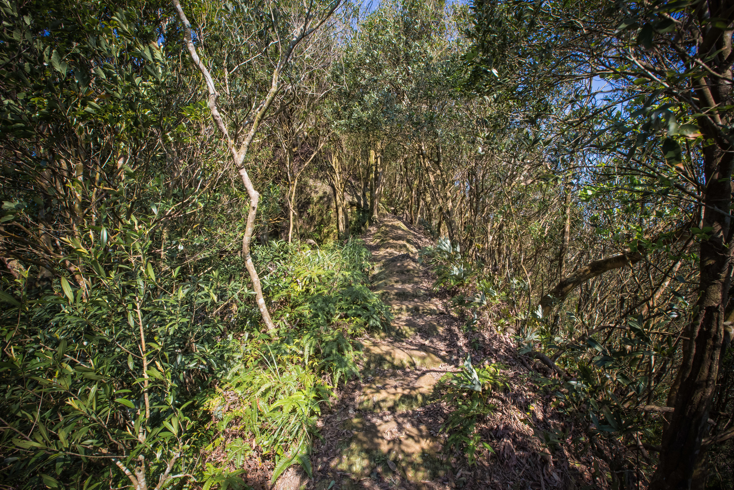
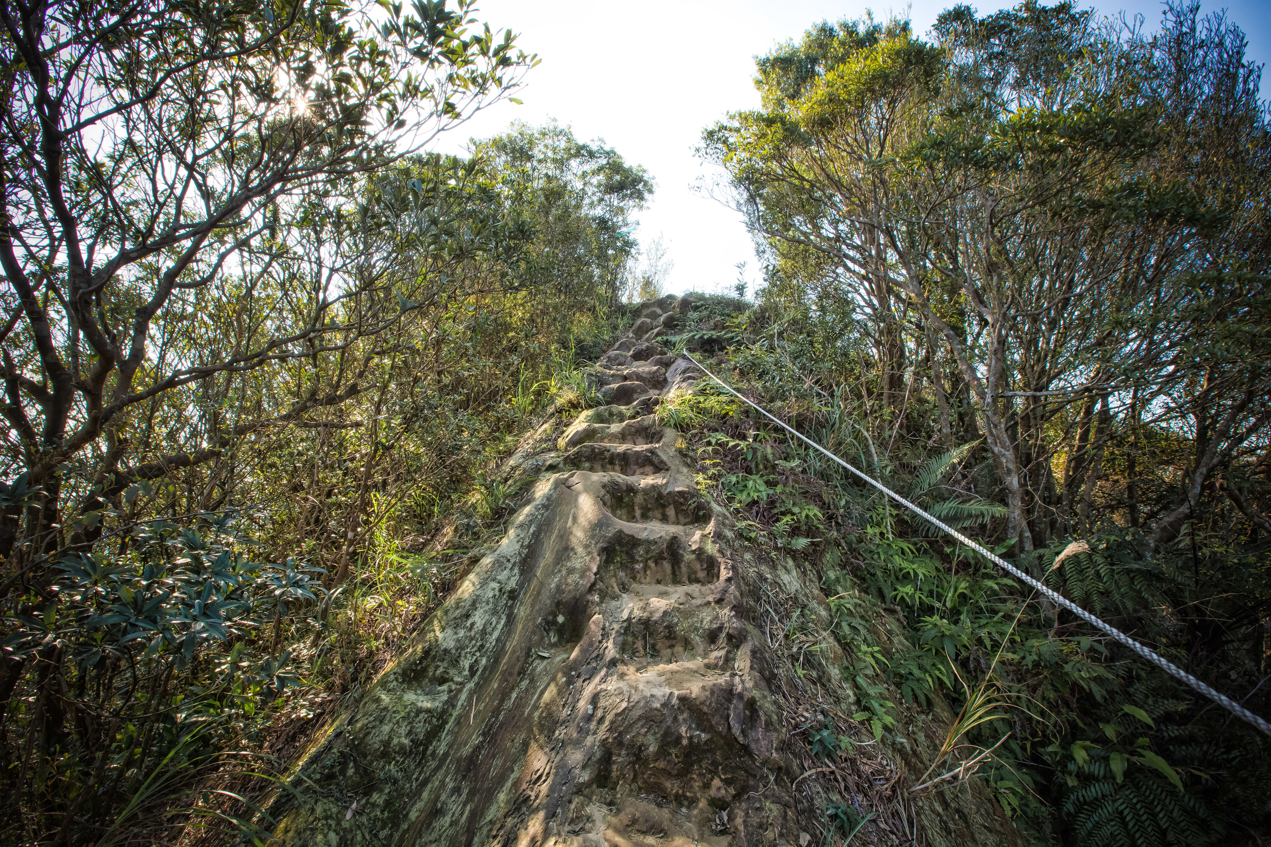
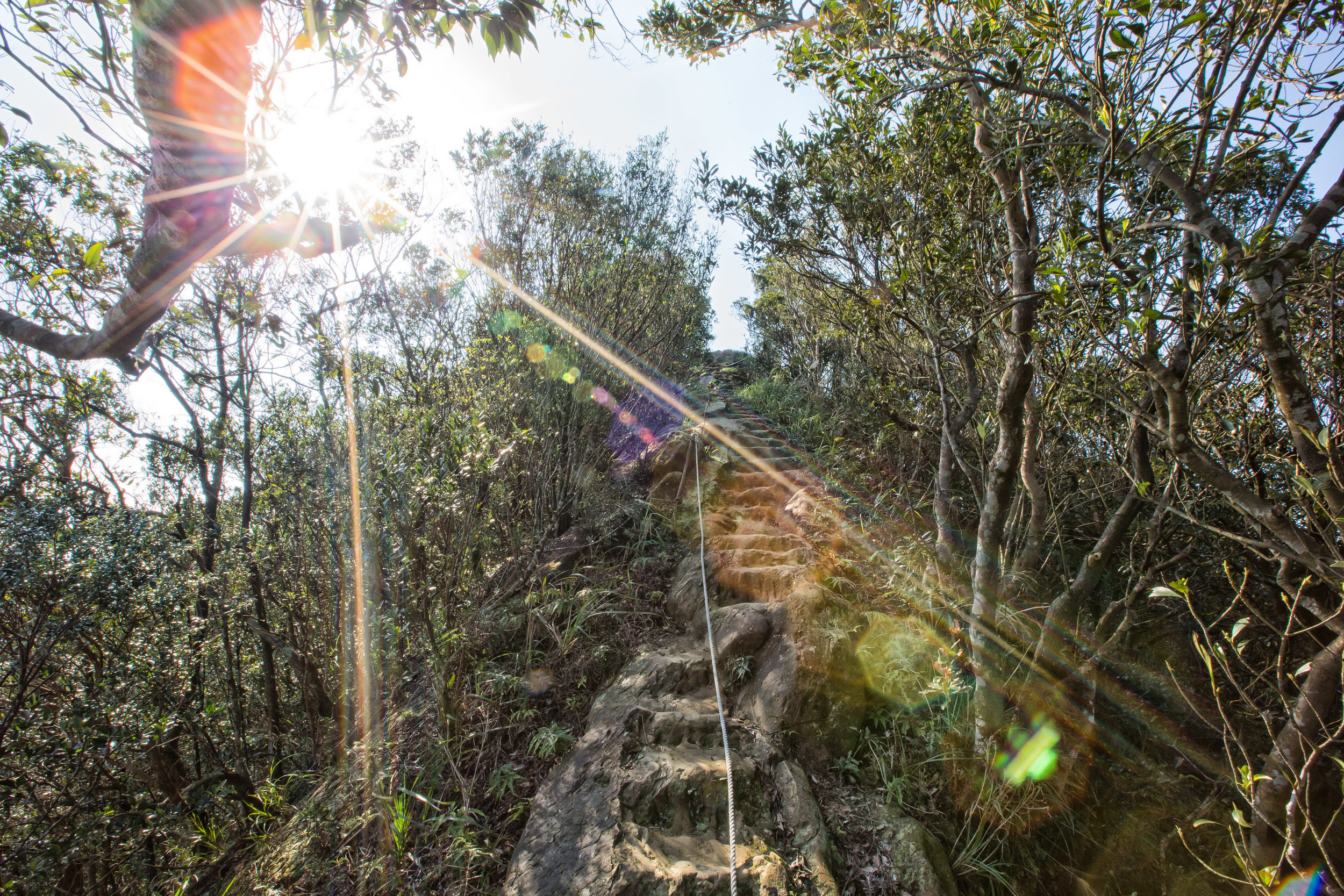
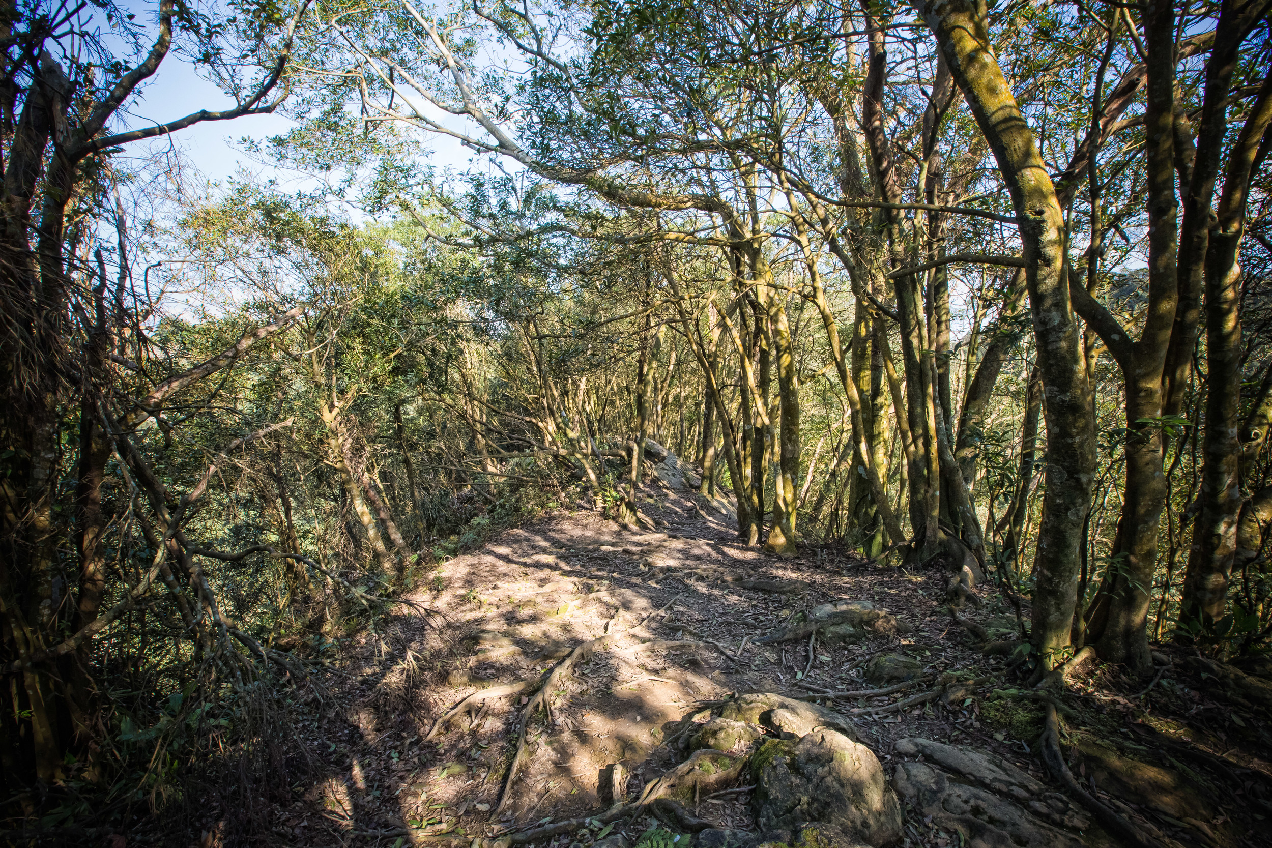
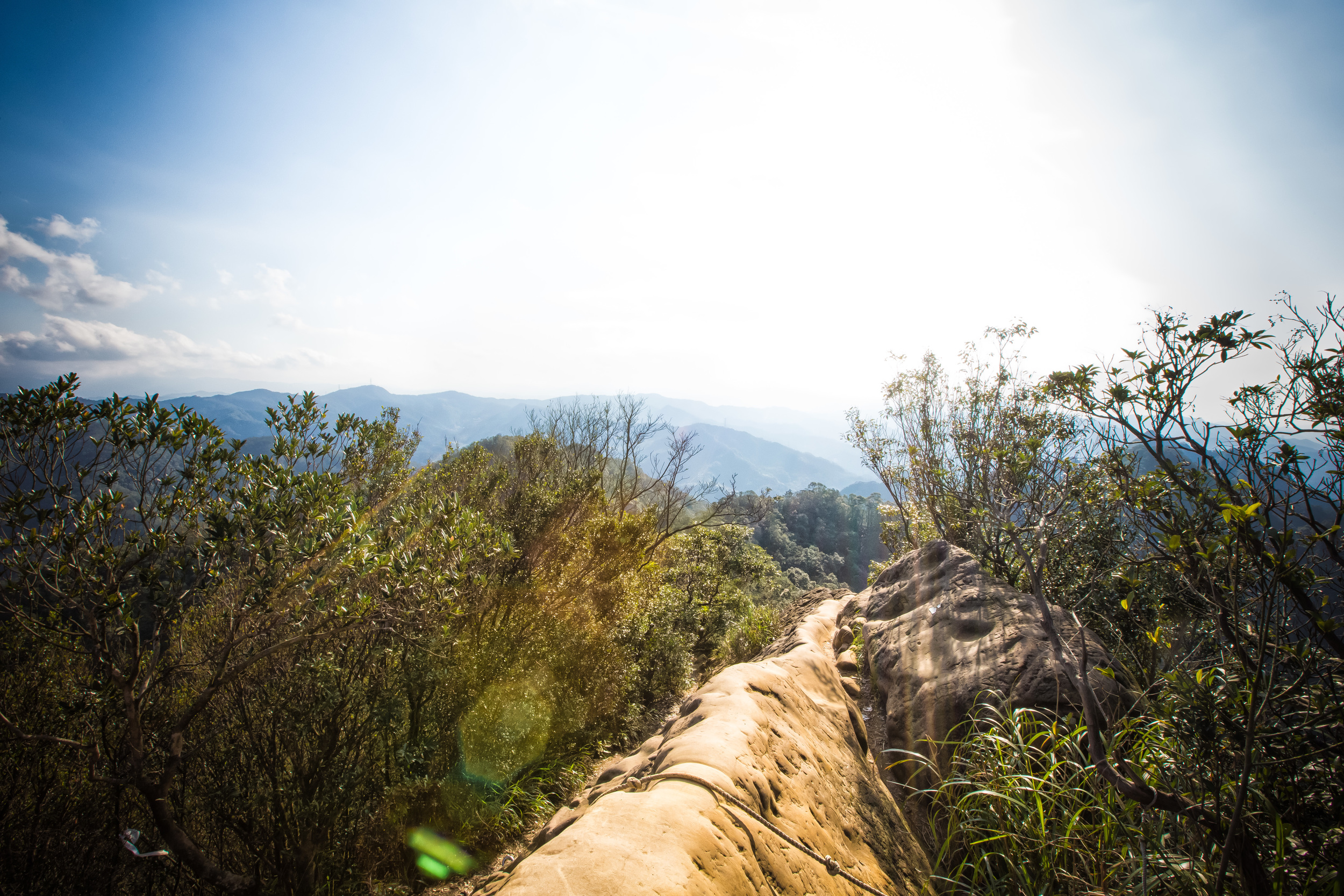
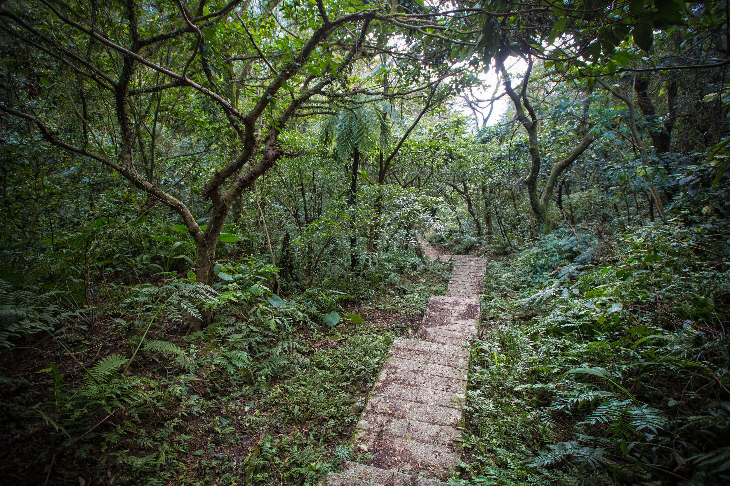
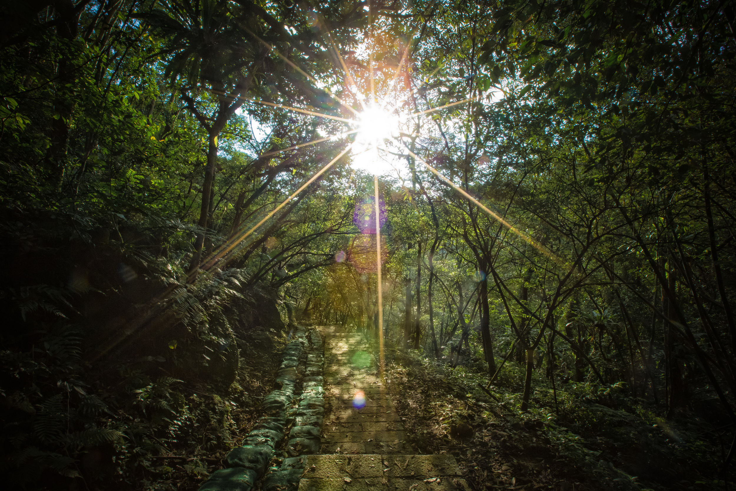
Once you’ve reached the trailhead, you’ll find an extremely unkept path that winds through a beautiful bamboo forest. If you actually visit, it will likely appear to that no one has really hiked the trail in a while, because not too many people actually know that it exists.
The hike should only take about ten to twenty minutes, depending on how fast you walk, but you’re going to have to be careful as the trail isn’t that stable in certain areas and there is a steep cliff that you could fall down while on the way up. Likewise, the trail isn’t very well marked and there are some twists and turns that could cause you to easily get lost. The fact that so few people are hiking the trail means that the path is likely to grow over quite easily, so pay attention!
One last note: Something that you’ll probably want to remember to bring with you is some powerful mosquito repellent as it seems like the bamboo forest is a breeding ground for them. If you don’t have any repellent (like me), its likely that you’ll get eaten alive on the short hike (like I did).
It’s rather obvious that this little memorial isn’t exactly a major tourist attraction. By my estimation, I’d guess that its probably visited less than once or twice every couple of months.
That being said, its kind of amazing that it has been able to survive as long as it has given what it represents.
It’s probably one of those things that only people like myself know about, but if you’ve read this far, you’ll know that it represents a dark period of history and one that I sincerely hope we have learned from.
References
牡丹社事件 (Wiki)
大豹社事件 (Wiki)
大嵙崁社事件 (Wiki)
Taiwan under Japanese rule (Wiki)
Entering the Mountains to Rule the Aborigines: Taiwanese Aborigine Education and the Colonial Encounter (Friedman, Kerim. 國立東華大學)
The First Nations of Taiwan: A Special Report on Taiwan’s Indigenous Peoples (Cultural Survival)
Formosa’s First Nations and the Japanese: from colonial rule to post colonial resistance (Asia-Pacific Journal)
三峽大豹忠魂碑見證歷史 新北列為市定古蹟 (CNA)
[新北市三峽].大豹忠魂碑 (Tony的自然人文旅記)
Gallery / Flickr (High Res Photos)