Over the past few weeks there has been a considerable amount of discussion and heated debate with regard to the methods that the government has been using to promote the country as a tourist destination. The government-run social media efforts in particular have been extremely unprofessional and have likely done more harm to the nation's reputation than good.
This was all expertly pointed out by blogger Tricky Taipei in her post: "Something Very Wrong is Happening at Taiwan Tourism Bureau" which focused on a government run social media account that was full of spelling and grammatical errors. It would be easy for some to say that English isn't the native language of Taiwan, so a little leeway should be given in these matters, but in truth, the account in question was maintained by an outsourced company based in the USA, which more or less pointed to the government wasting funds.
The government has since acknowledged some of its mistakes and has promised to both improve and provide more oversight into the way it does its business, but the way the Taiwan Tourism Bureau promotes the country has always been problematic.


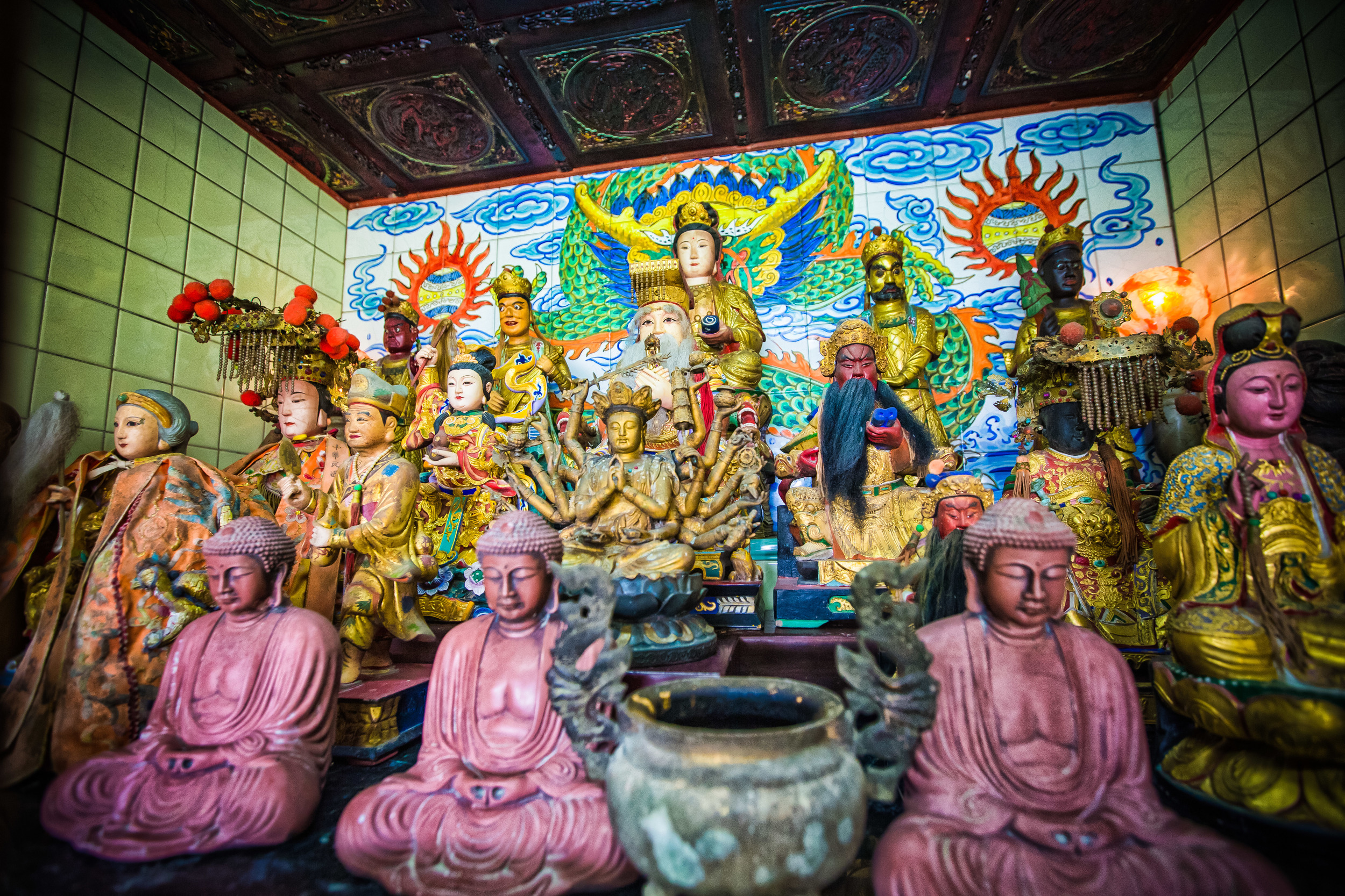
The picturesque national beauty of this country in addition to its beautiful cultures and traditions should be enough to attract people, but when it comes to promoting Taiwan overseas, the Tourism Bureau has traditionally only focused on the food scene or a few select locations. I'll gladly admit that the most common locations that are used are scenic, but it would be much easier to attract tourists if you let people know that there is more to Taiwan than just Taipei 101 and Stinky Tofu.
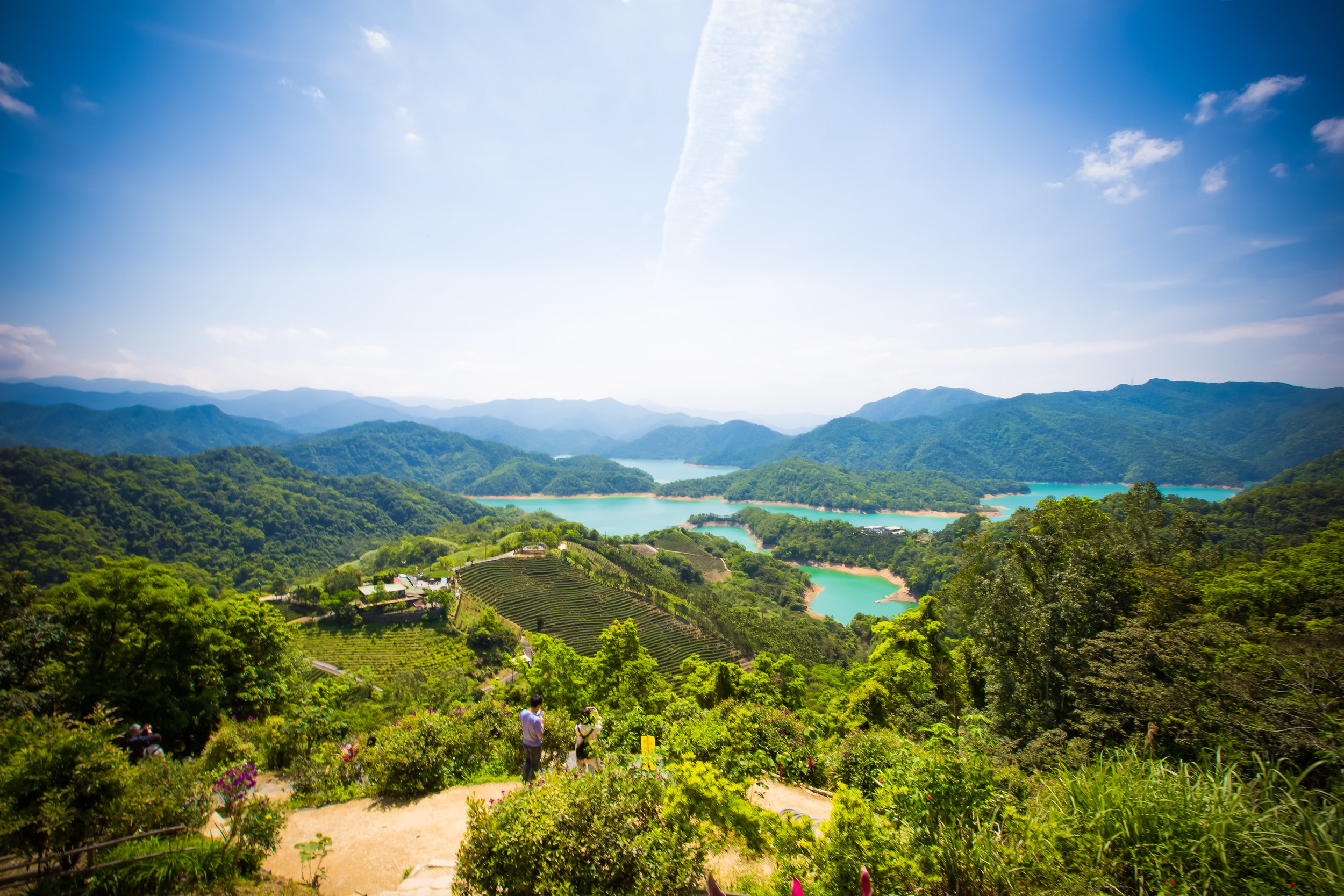
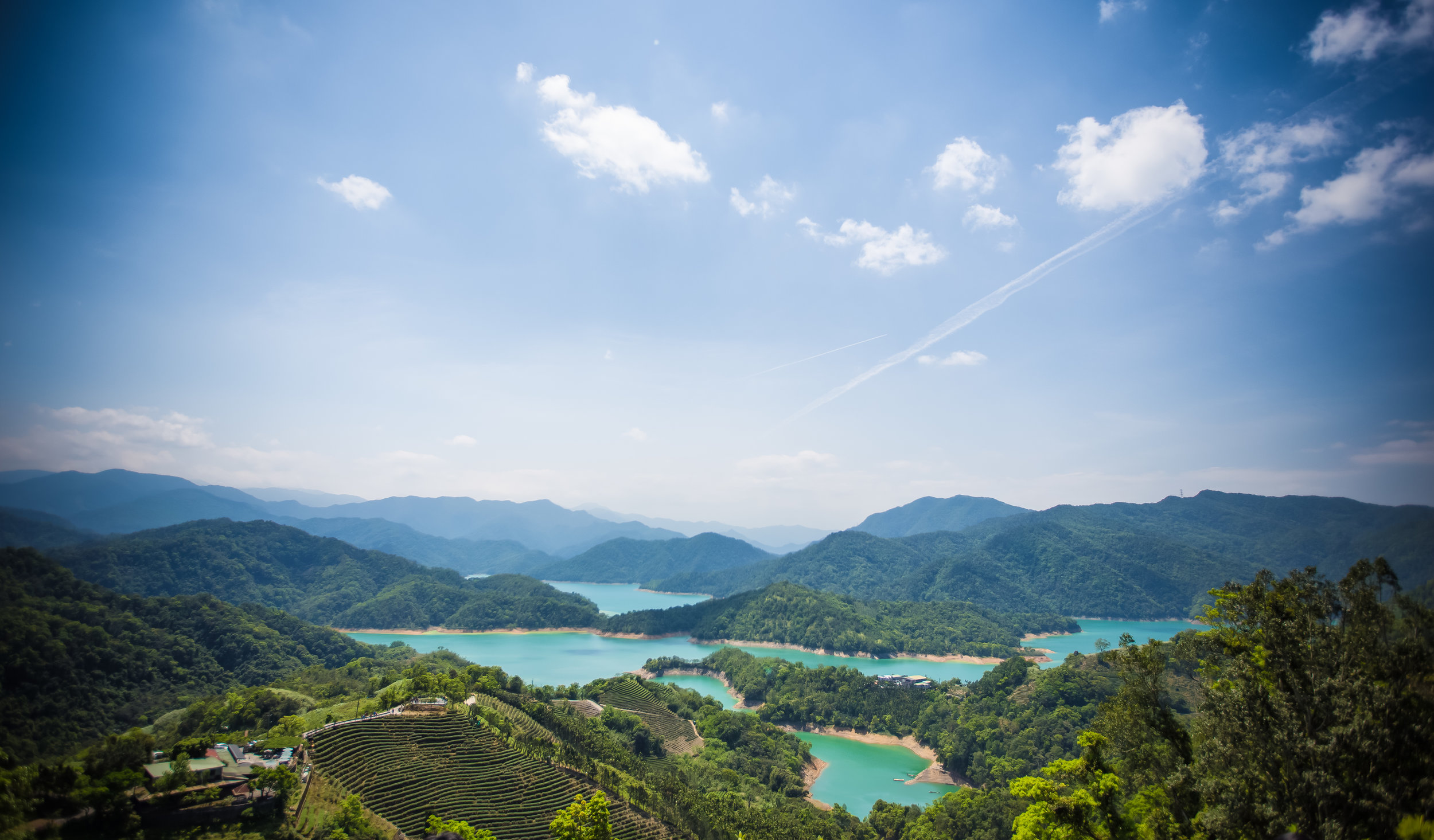
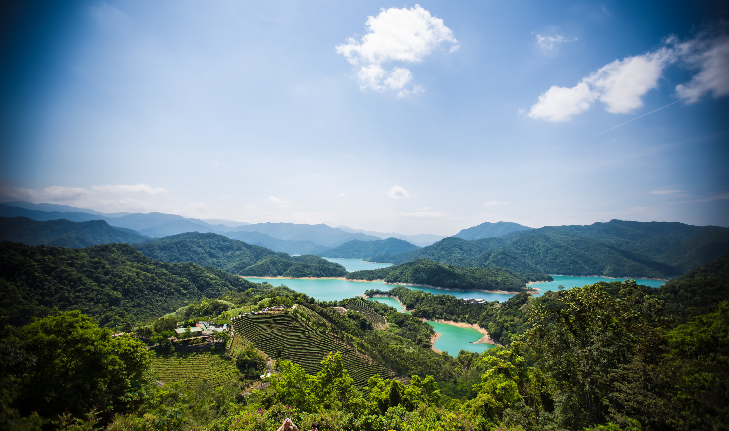
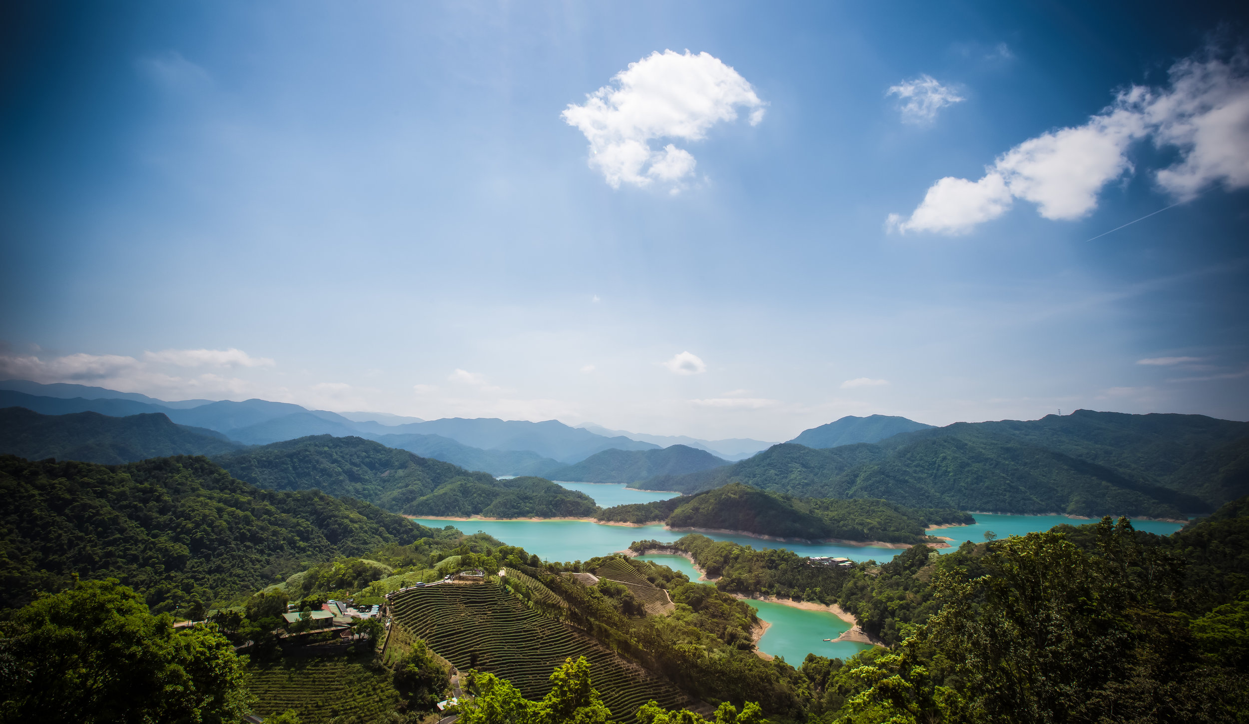
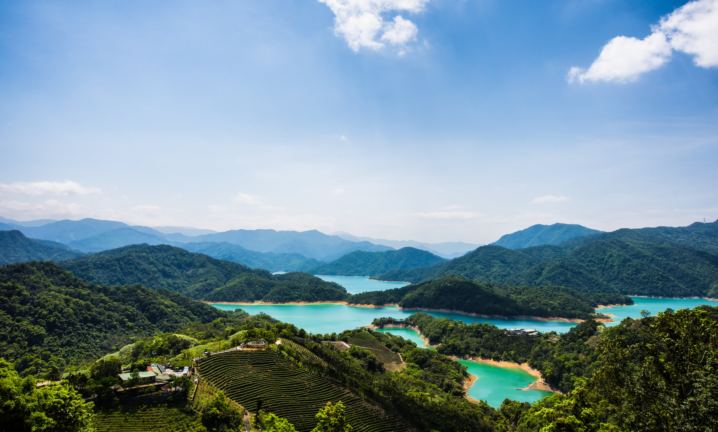
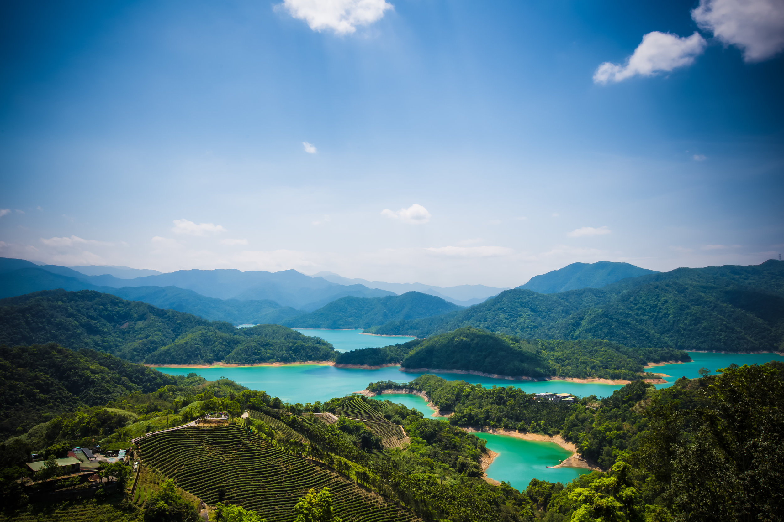
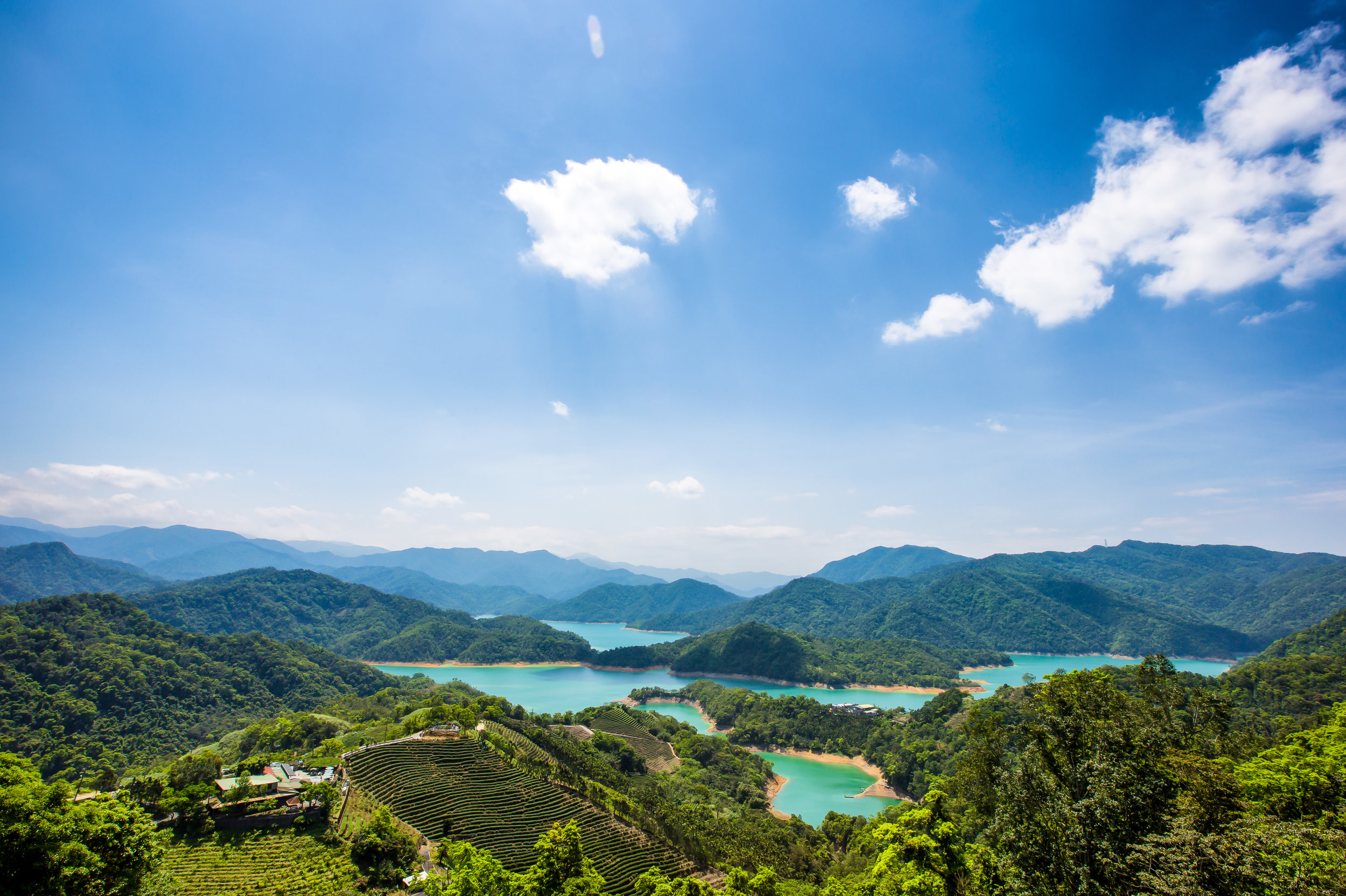
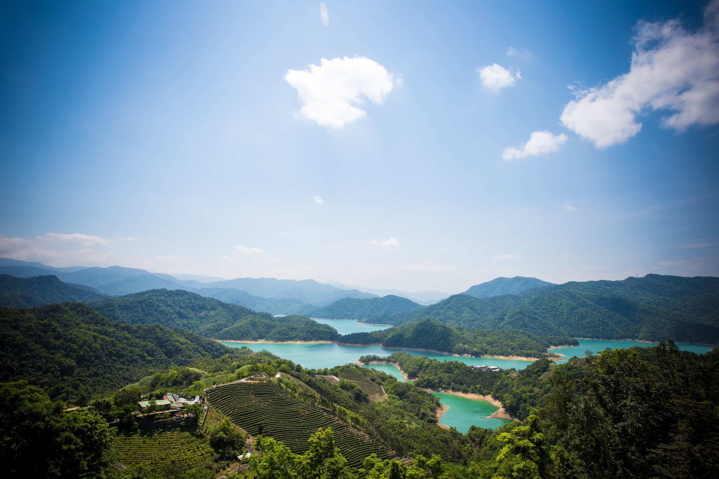
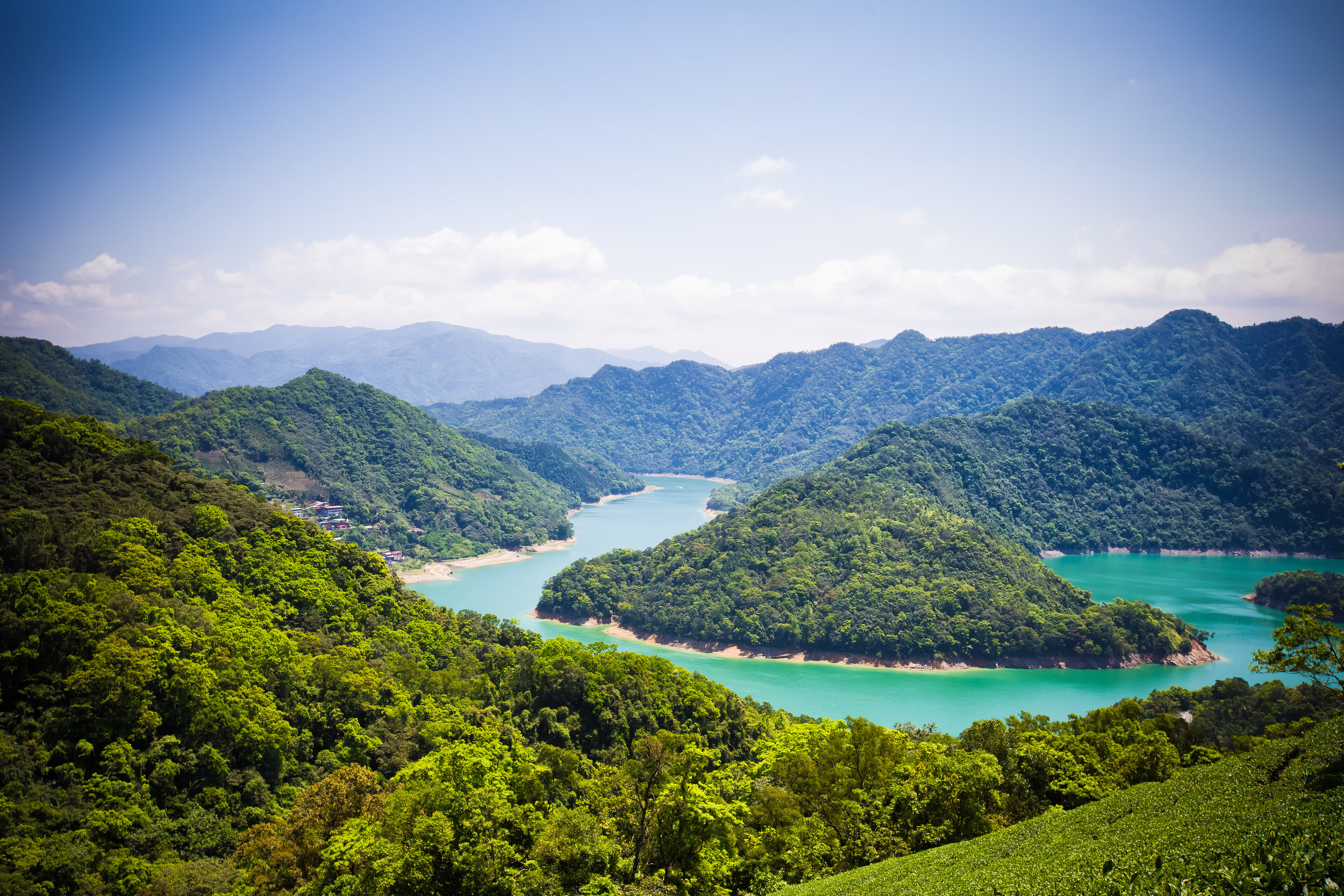
One of the most popular locations used in tourism publications is that of Taipei’s Thousand-Island Lake (千島湖) which itself is not actually a popular tourist attraction for tourists, but is I'm sure beautiful and exotic enough to entice people to visit.
I've lived in Taiwan for well over a decade and over that time I've seen hundreds if not thousands of beautiful photos of Thousand-Island Lake, but never really felt the urge to visit on my own. There are of course a few reasons for this - most importantly, I feel like this location is overdone.
I've also learned that when visiting photo hot-spots like this, you're very likely going to have to wage war against a large group of territorial old dudes with cameras who take up all the best spots. In cases like this I feel like it wouldn't be worth my time.
Over the recent extra-long Tomb Sweeping Day holiday, one of my hiking pals asked if I wanted to join her and some friends on a short day-trip to the area. I figured that since most people in Taipei had already gone south for the holidays that it was probably an opportune time to visit, so I thought why not go check it out to see what all the fuss was about.
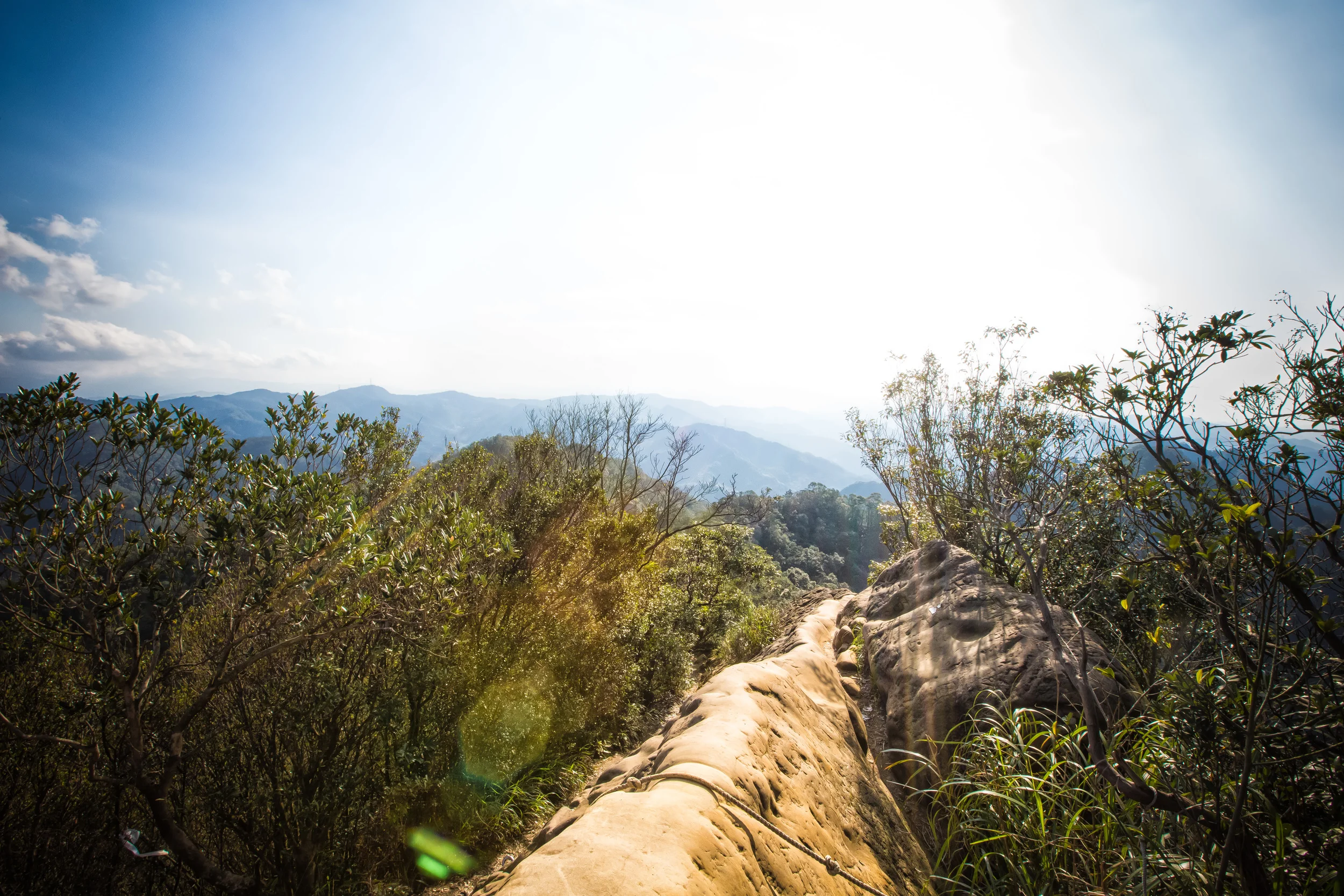
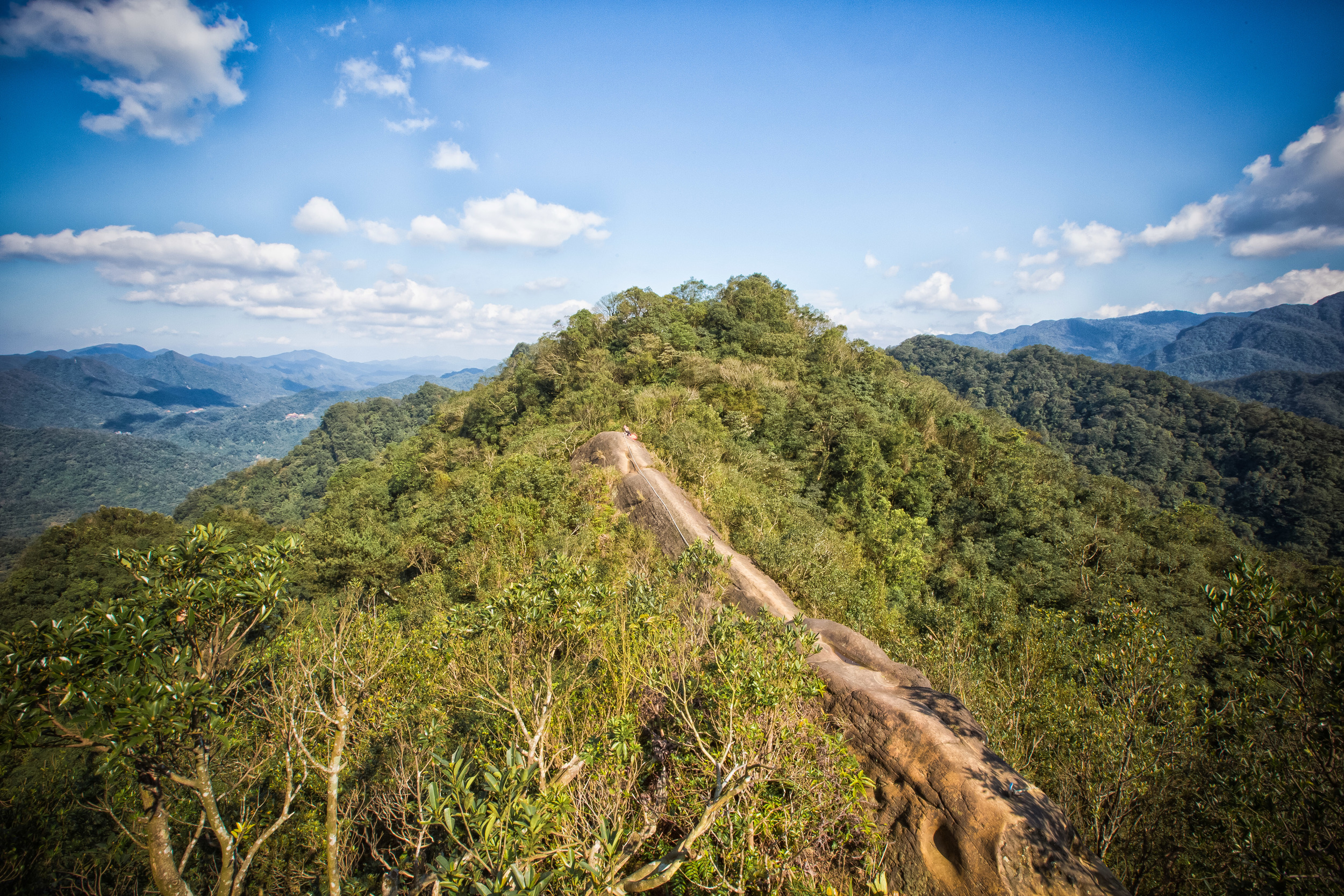
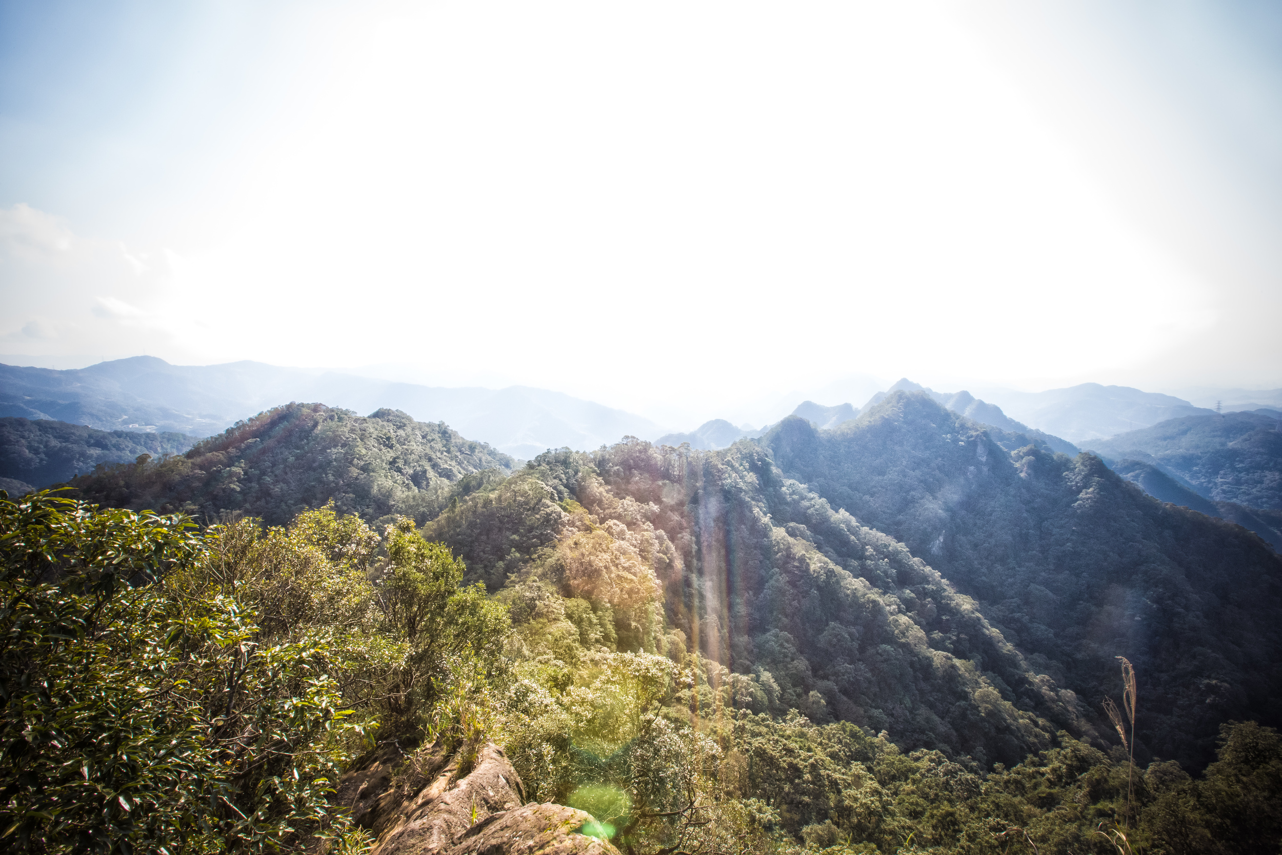
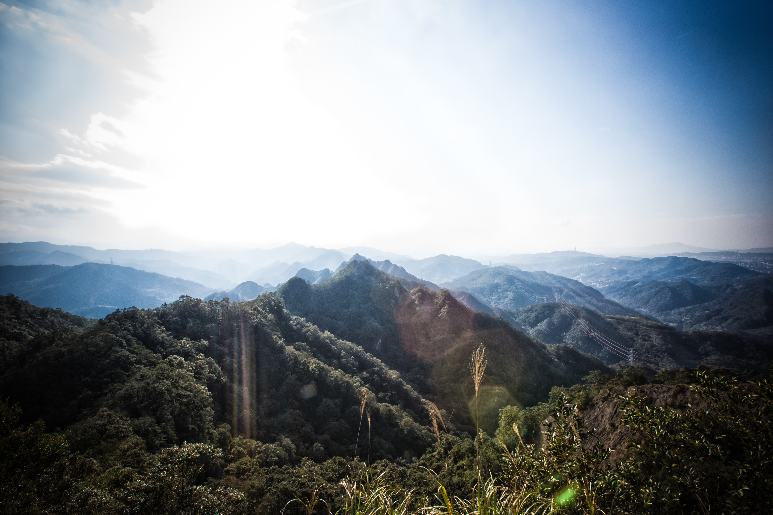
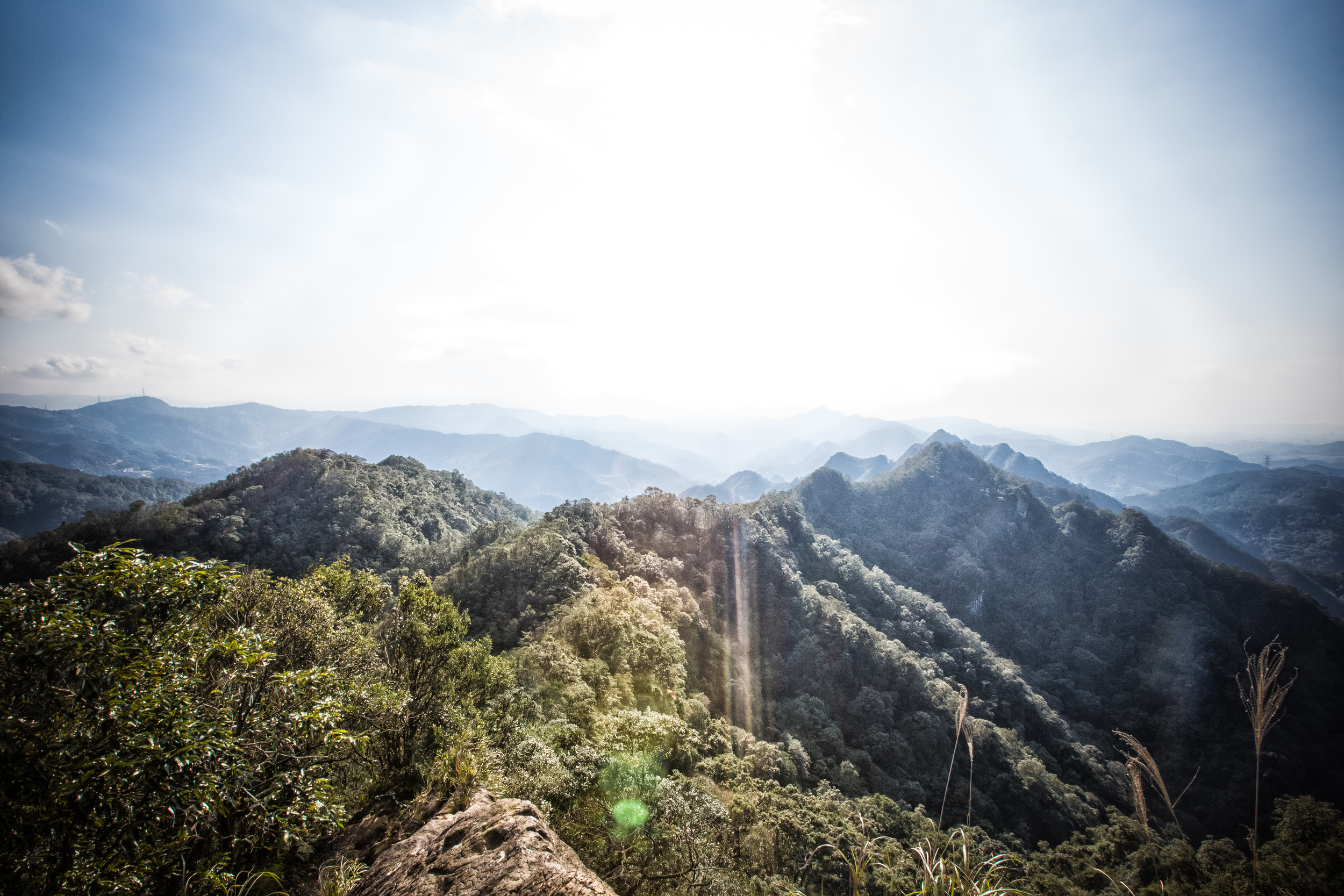
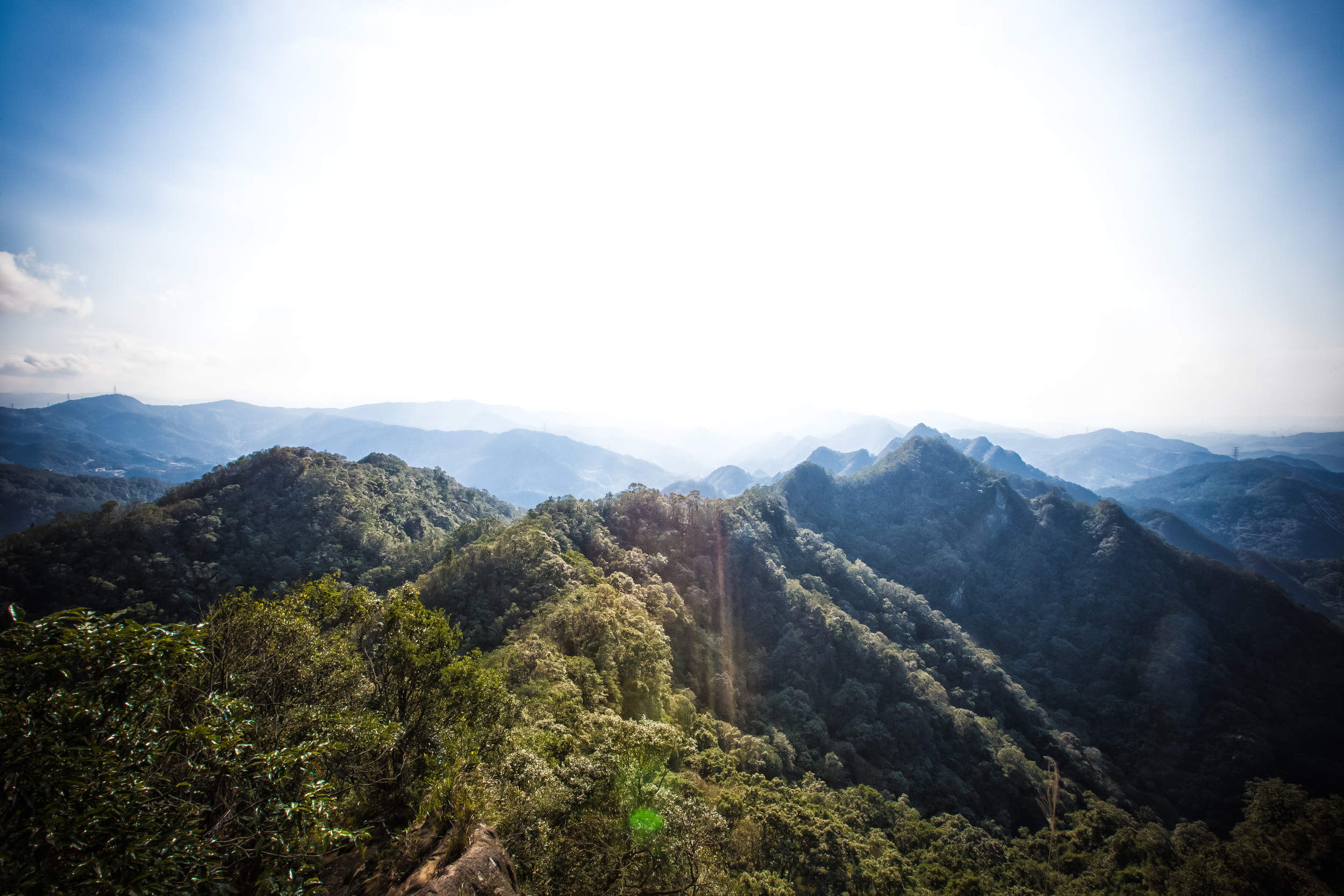
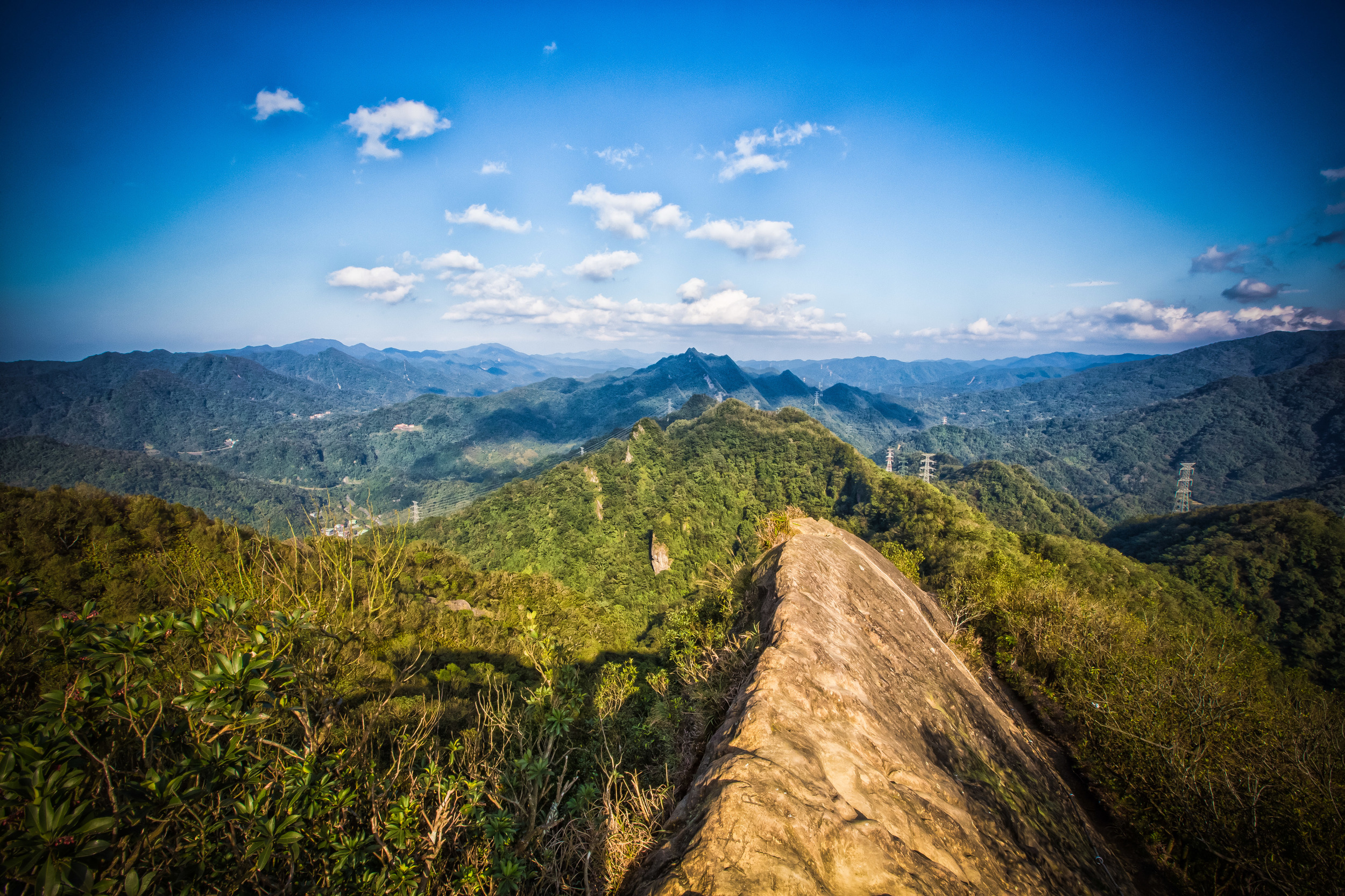
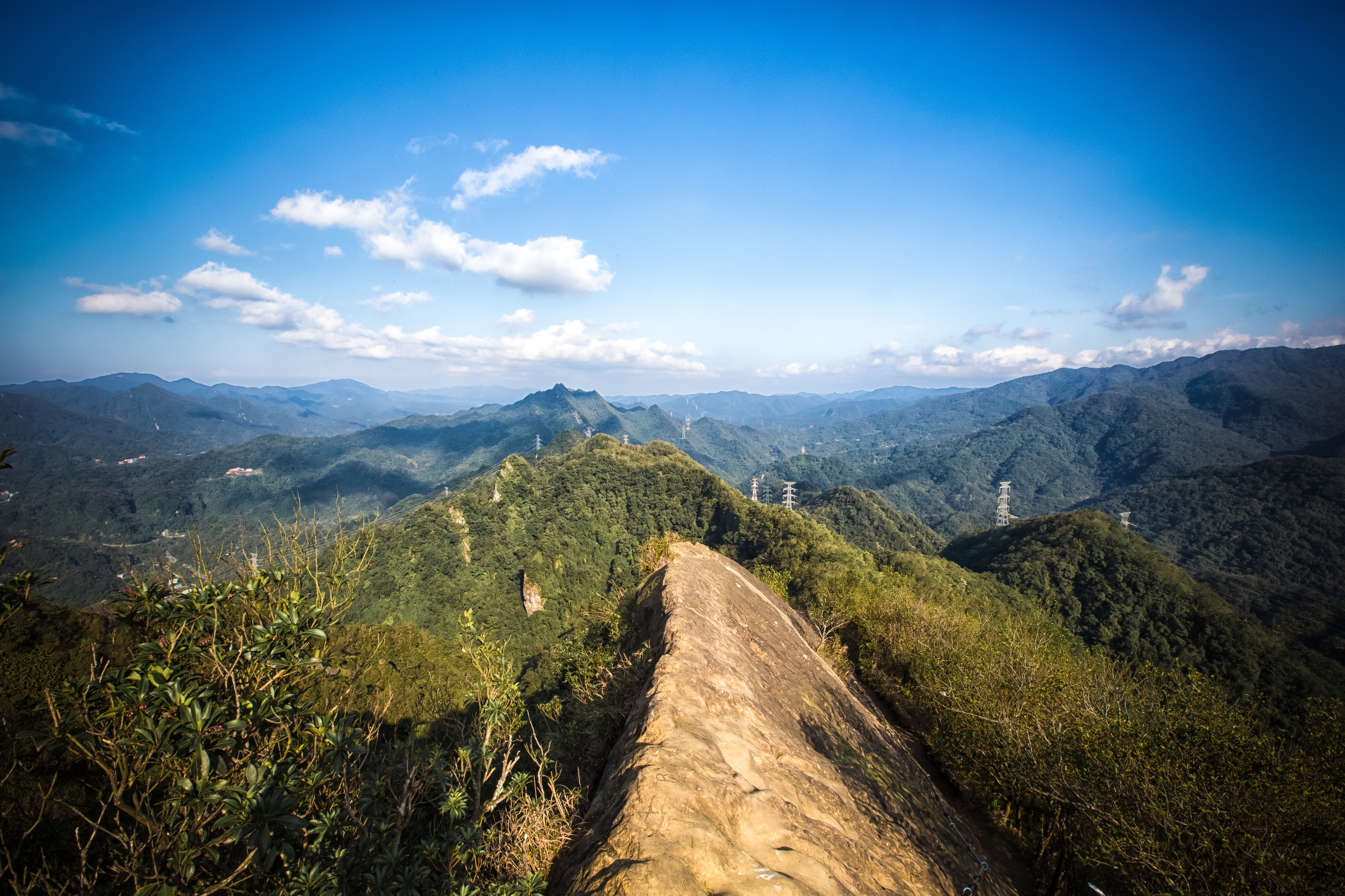
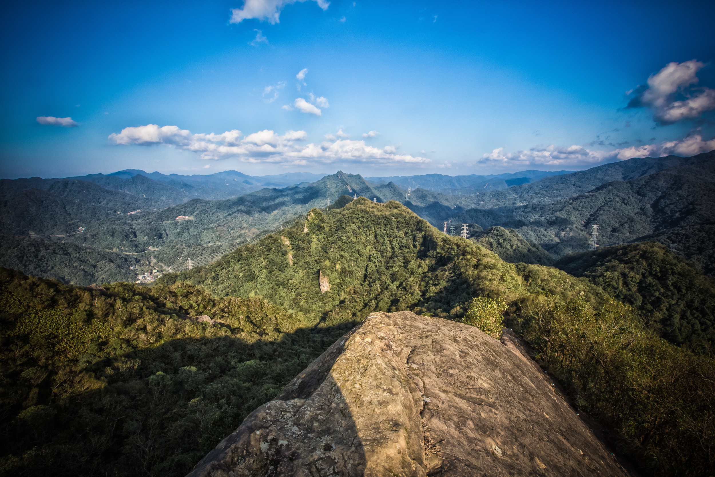
Thousand-Island Lake (千島湖)
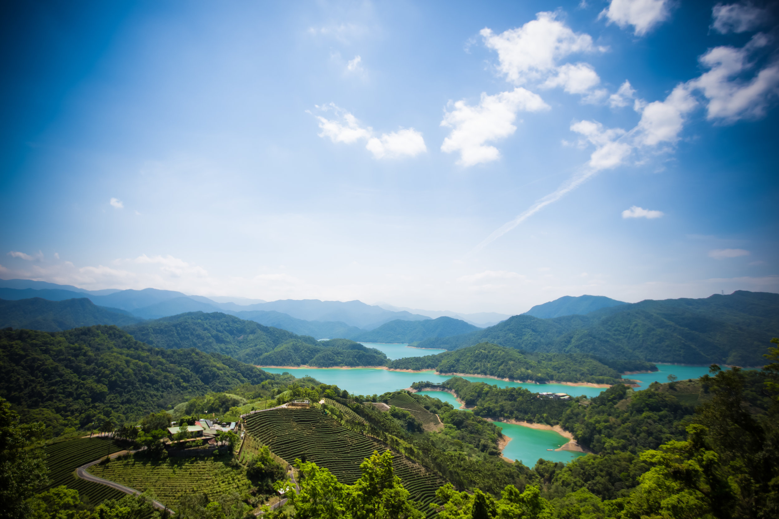
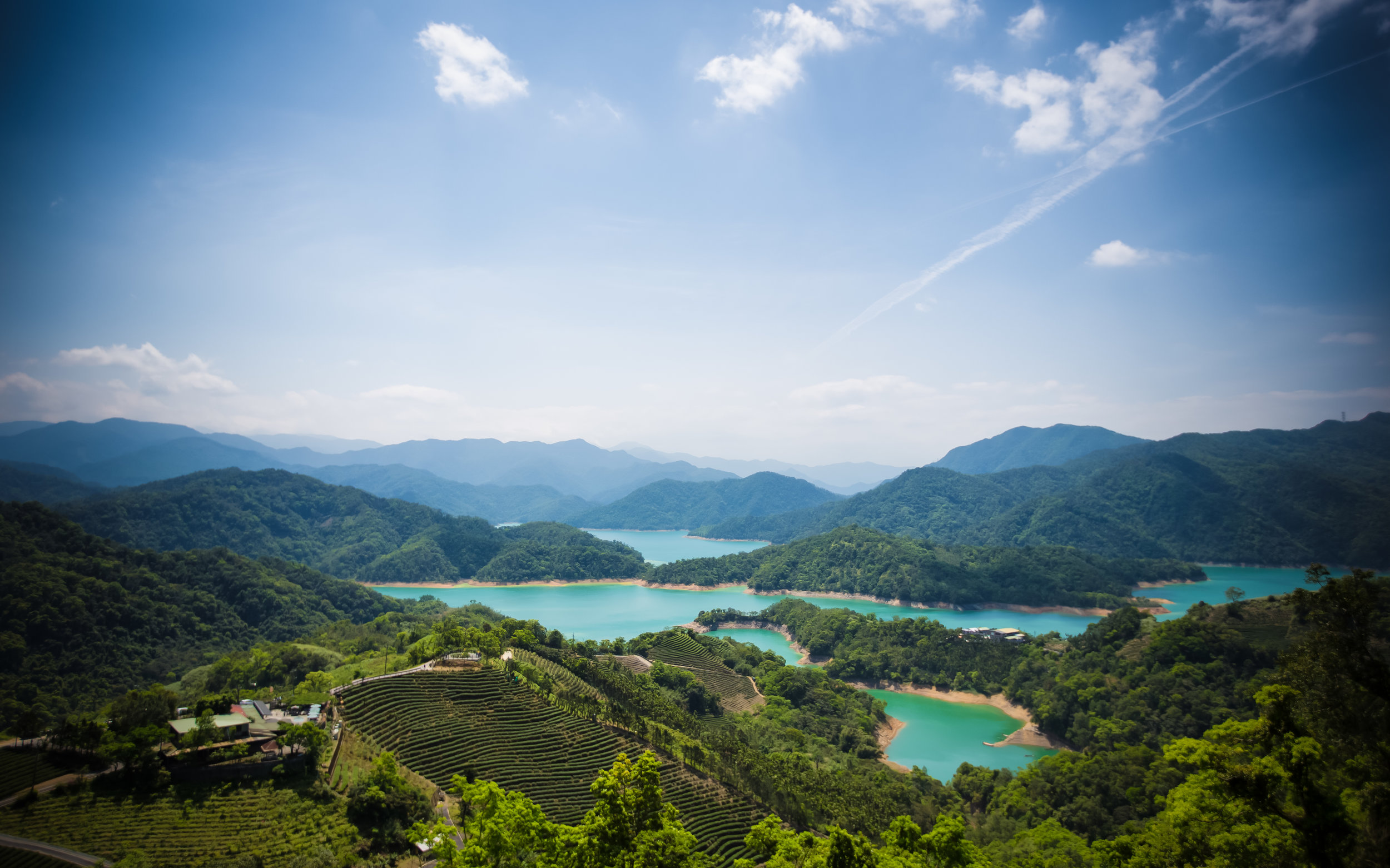
To start, I think its important to note that the area, which is known in English as ‘Thousand-Island Lake’ or in romanized pinyin as ‘Qiandaohu’ doesn’t actually have a 'thousand islands' nor is it even a 'lake'.
The water comes from the Beishi River (北勢溪) which flows between New Taipei City and Yilan County and is a tributary of the much larger Xindian River (新店溪). The so-called ‘islands’ are actually just submerged mountains in what is a man-made environment.
The 'lake' gets its name from a similar man-made lake in China’s North-Eastern Zhejiang Province (浙江省) which is similar in terms of landscape. China's lake however actually does have more than one thousand ‘islands’, which again are just submerged mountains from when the Xin’An Reservoir (新安水庫) was constructed in 1959.
The Taiwan version of ‘Qiandaohu’ was created in 1987 with the construction of the nation’s largest dam, the Feicui Reservoir (翡翠水庫) which supplies water to both Taipei City and New Taipei City and their almost seven million residents.
Plans for the reservoir project started in the 1970’s to solve the problem of water shortages in the north caused by severe droughts and damage caused by typhoons which often forced residents to have to go without water service for long periods of time.
The construction of the dam meant that the area where 'Qiandaohu' now exists would have to be flooded with water - The area at that time was scarcely populated, but to complete the project the government was forced to relocate over a thousand residents who resided in the now abandoned Bishan Village (碧山村).
Link: Taiwan in Time: The ‘Atlantis of Taiwan’ - Taipei Times
As usual with forced relocations or evictions in Taiwan, the government did a terrible job of forcing people out of their homes and they resisted the relocation for a number of reasons:
- Most of them were dependent on the tea trade and their livelihoods were attached to the land.
- Families had lived in the area for hundreds of years and their ancestors were all buried there.
- The government offered little in terms of financial compensation - a battle that took until 1994 to resolve.
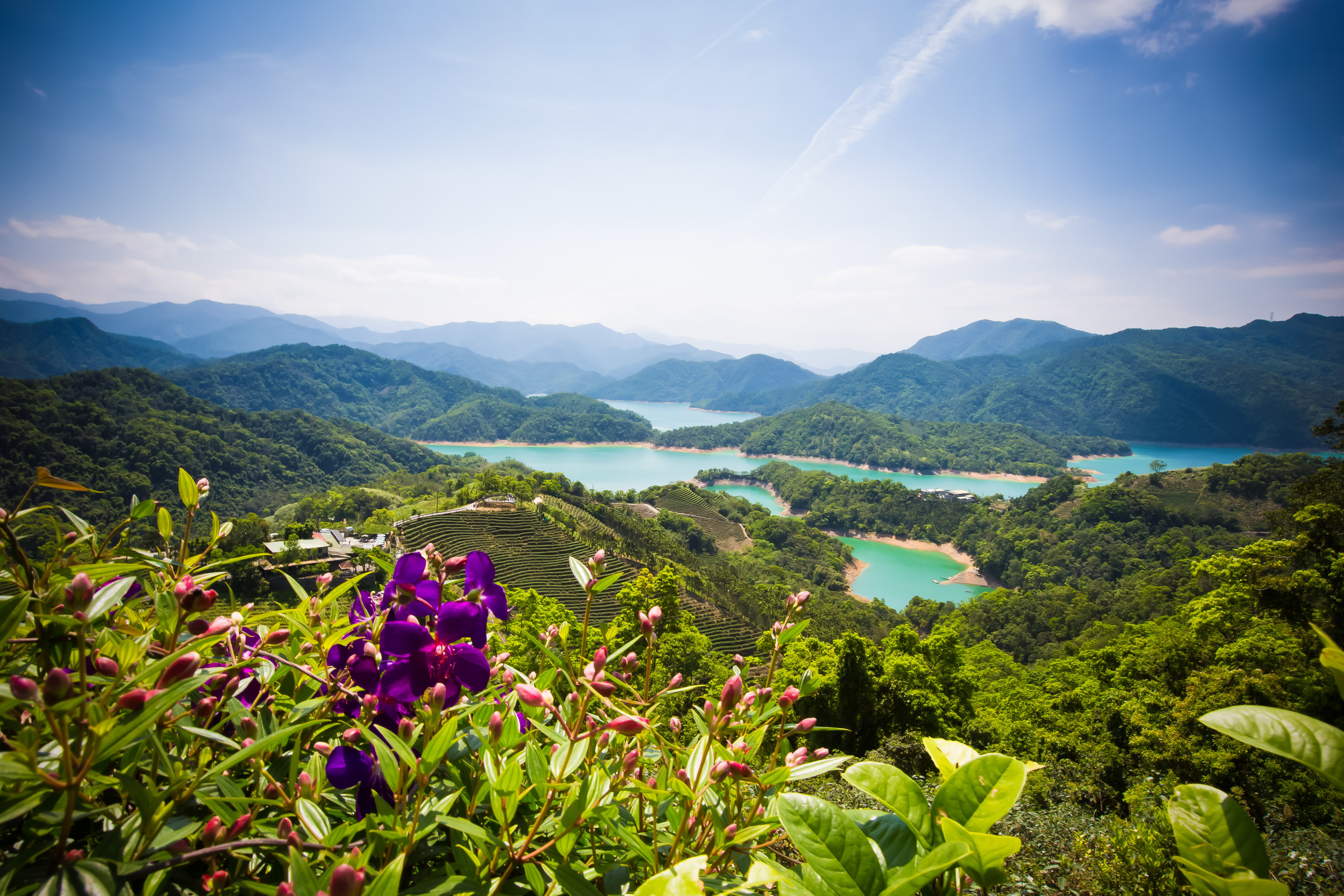
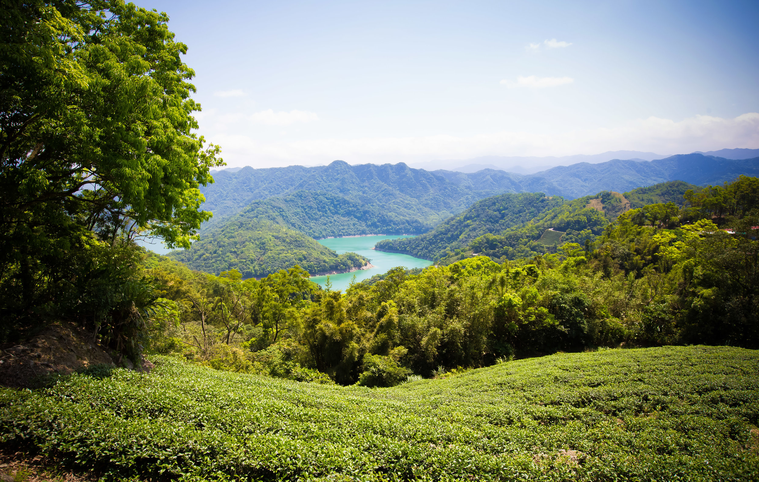
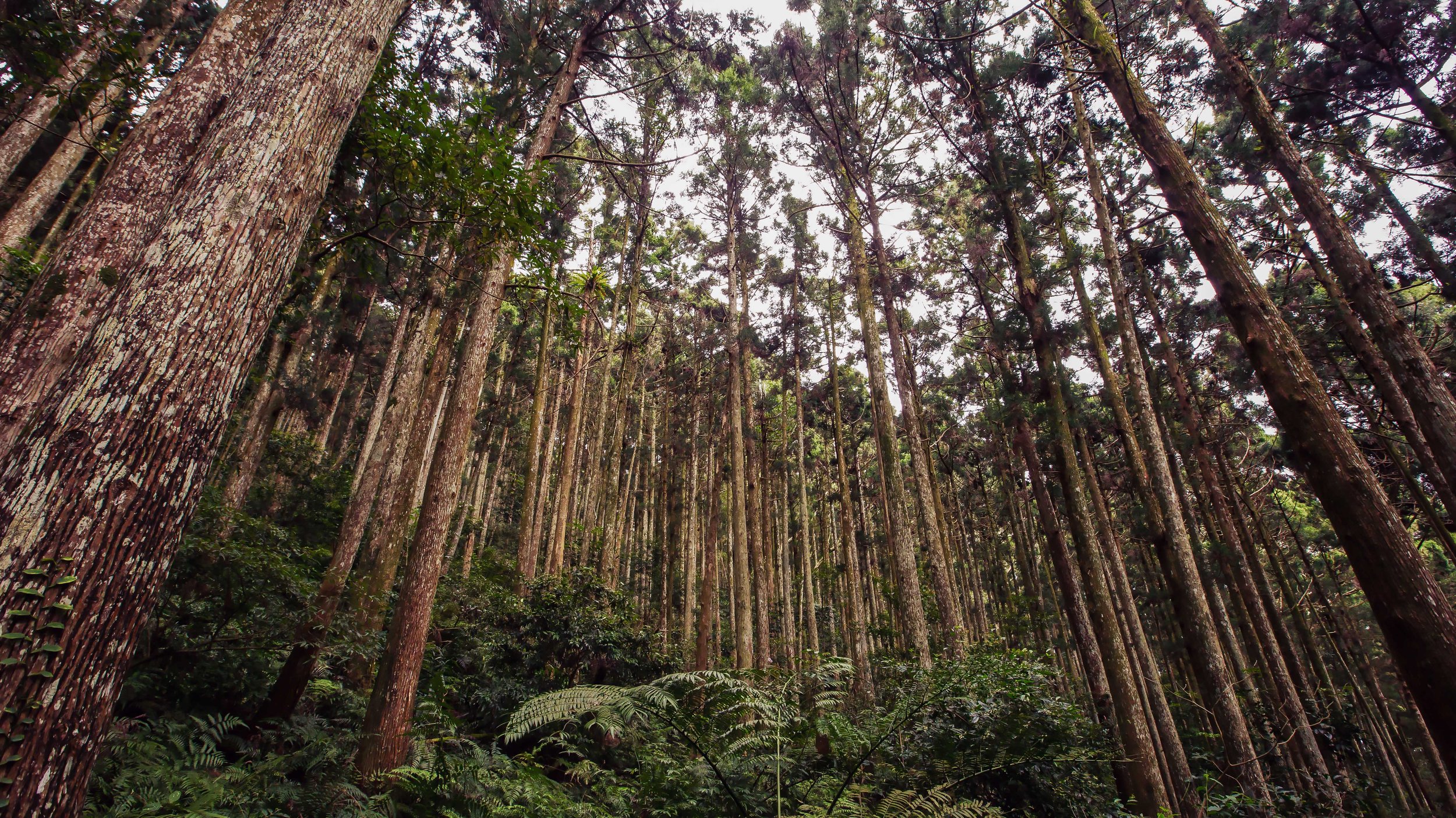
Today the Shiding (石碇) and Pinglin (坪林) areas continue to be an important player in Taiwan’s tea production. The area is considered to provide the perfect climate for growing Taiwan’s famous Pouchong Tea (文山包種茶) as well as Oriental Beauty Tea (東方美人茶). If you are a fan of Oolong teas, you will appreciate the hard work of the local people in the area, especially those who were relocated but persevered nonetheless.
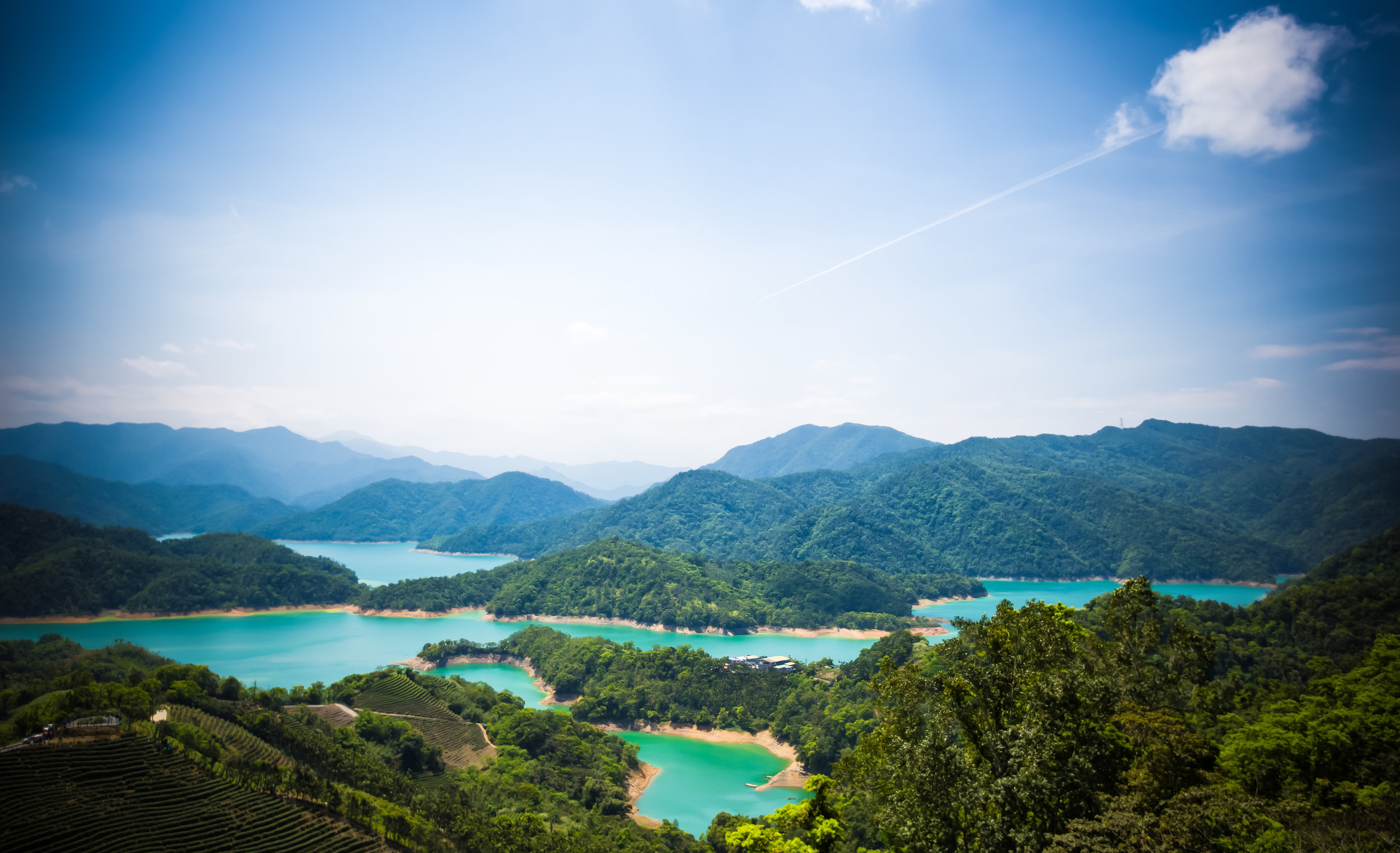
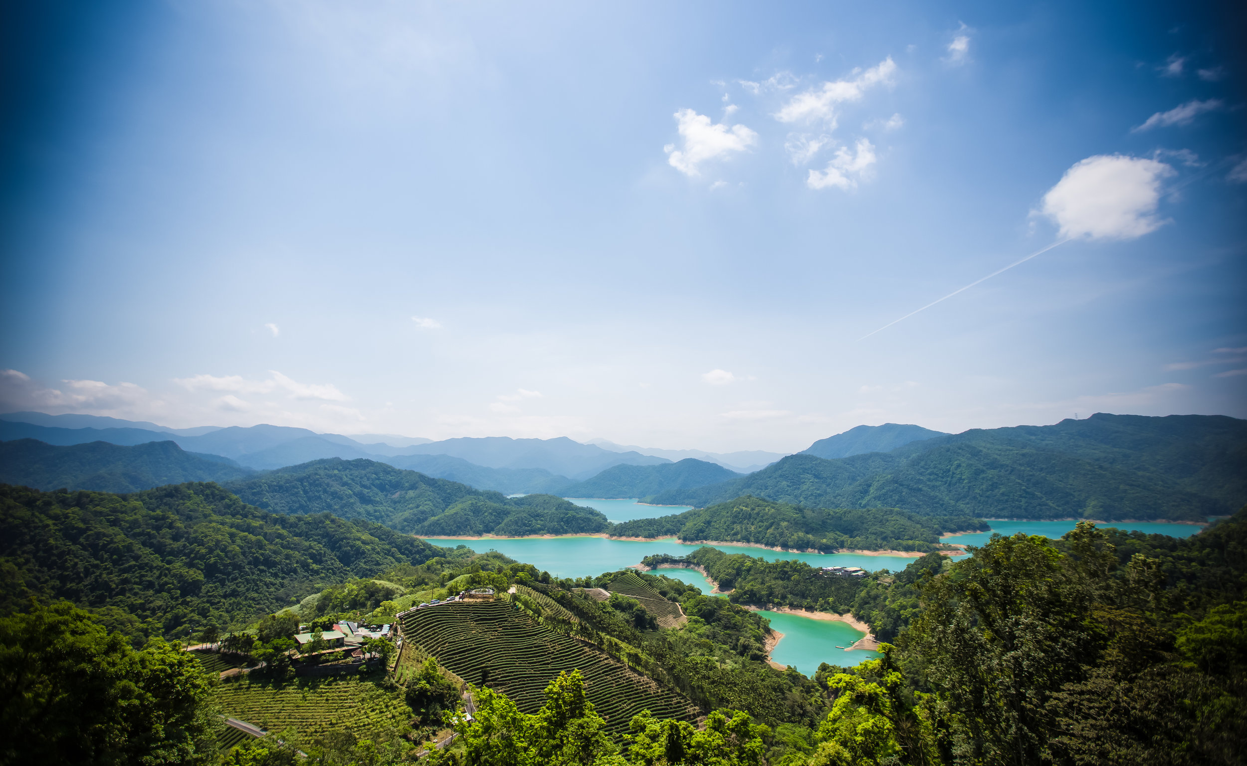
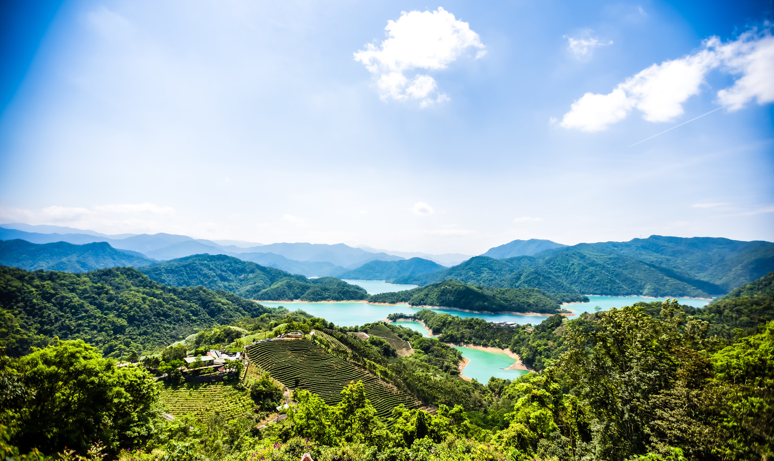
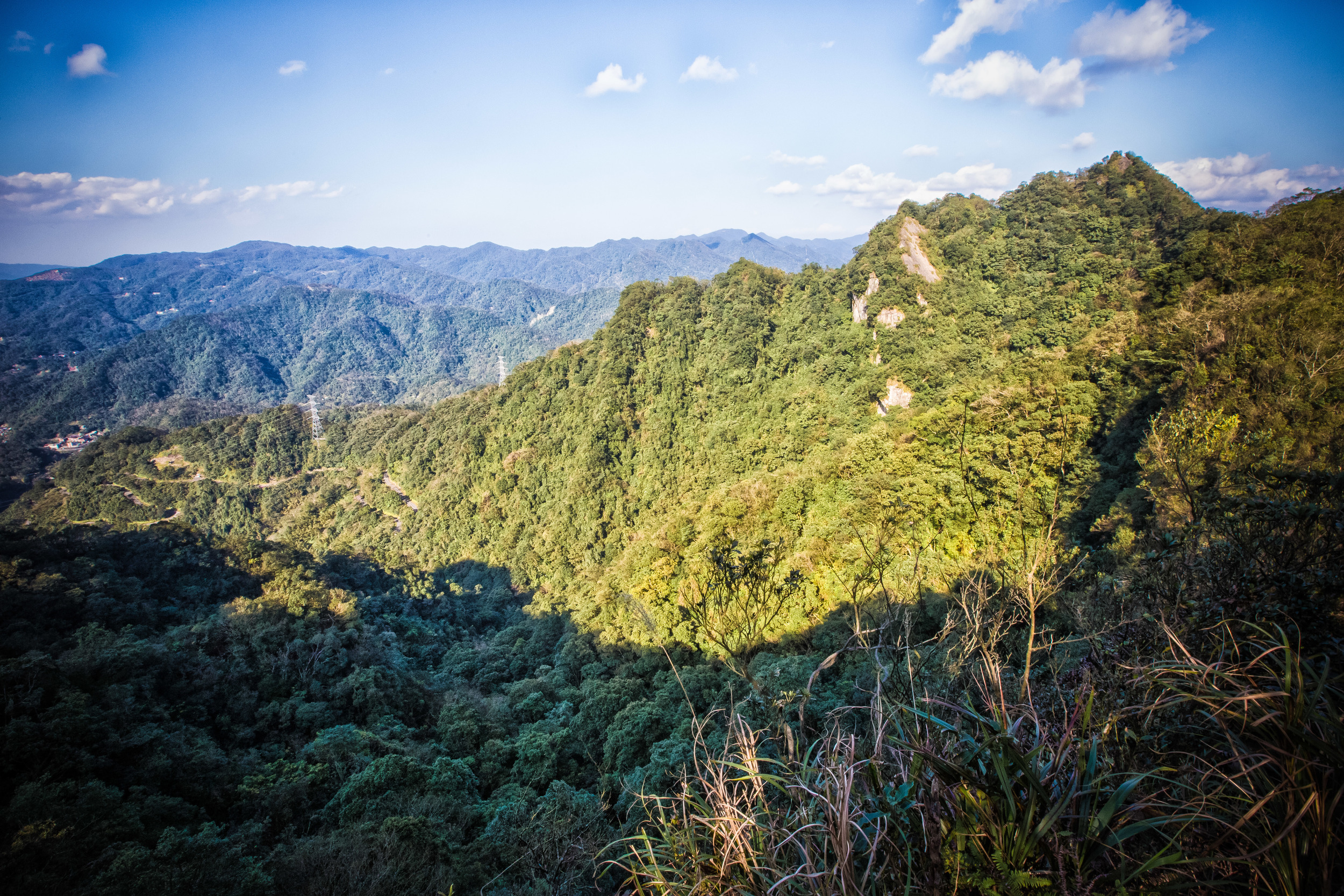
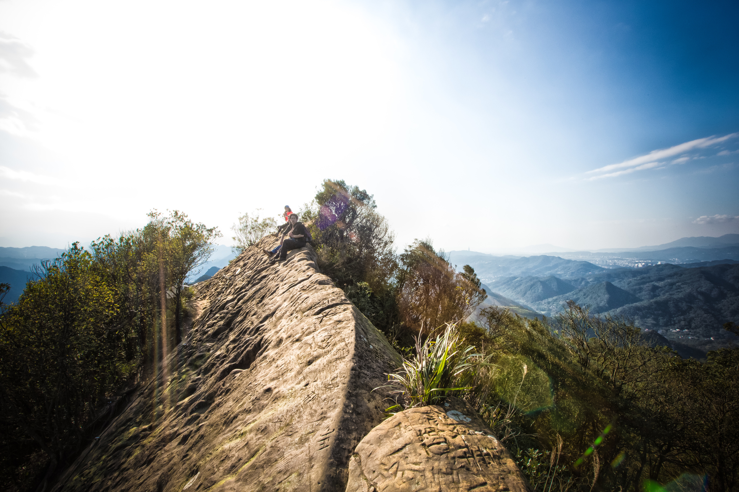
When visiting the scenic areas of Qiandaohu, it would be difficult not to notice the terraced fields of tea which grow on almost every mountainside in the area. For tourists who want to experience Taiwan’s tea culture, I’d suggest that a trip to this area in conjunction with nearby Pinglin village would offer a much more authentic experience than a visit to the very touristy area of Maokong (貓空), which is closer to the city.
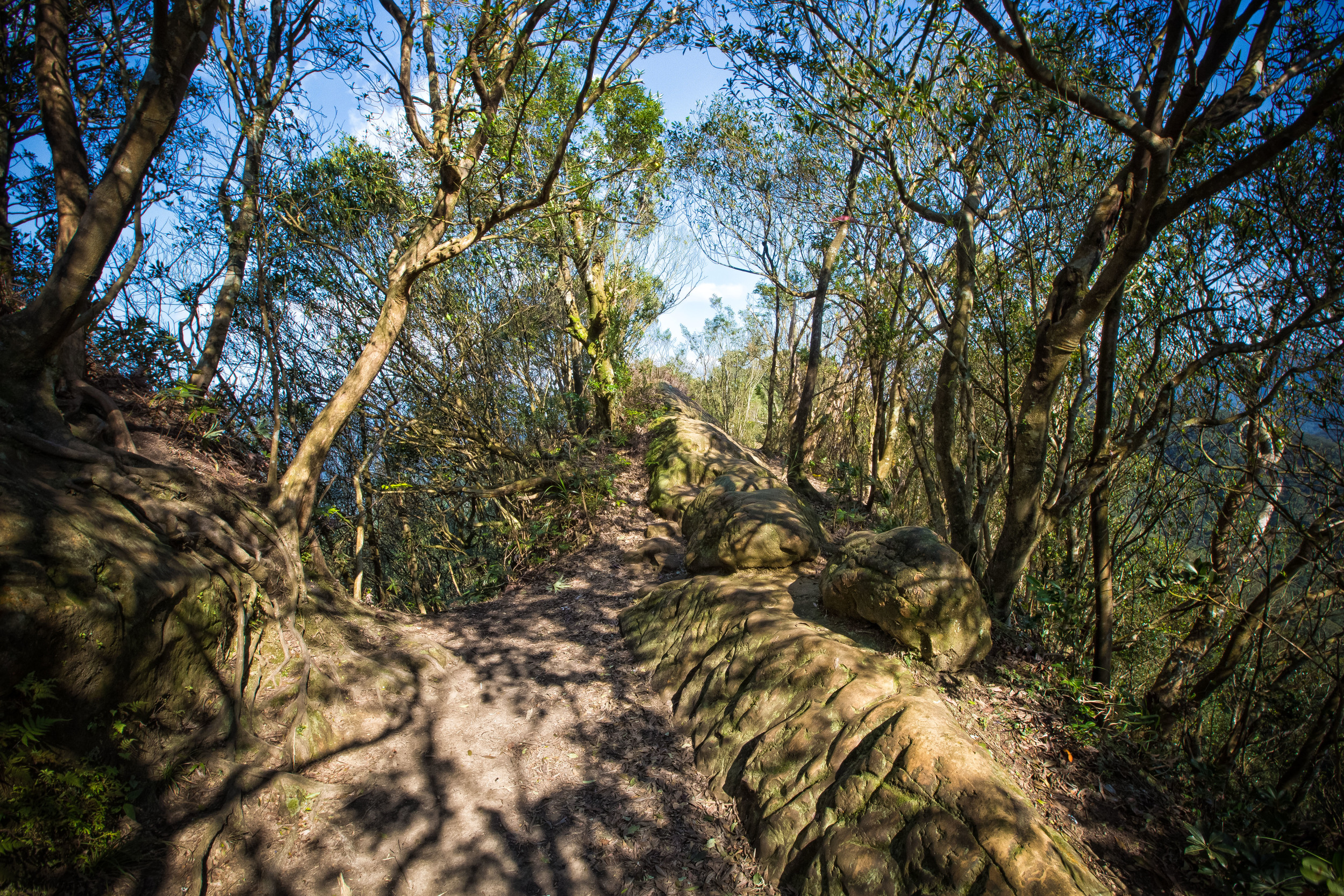
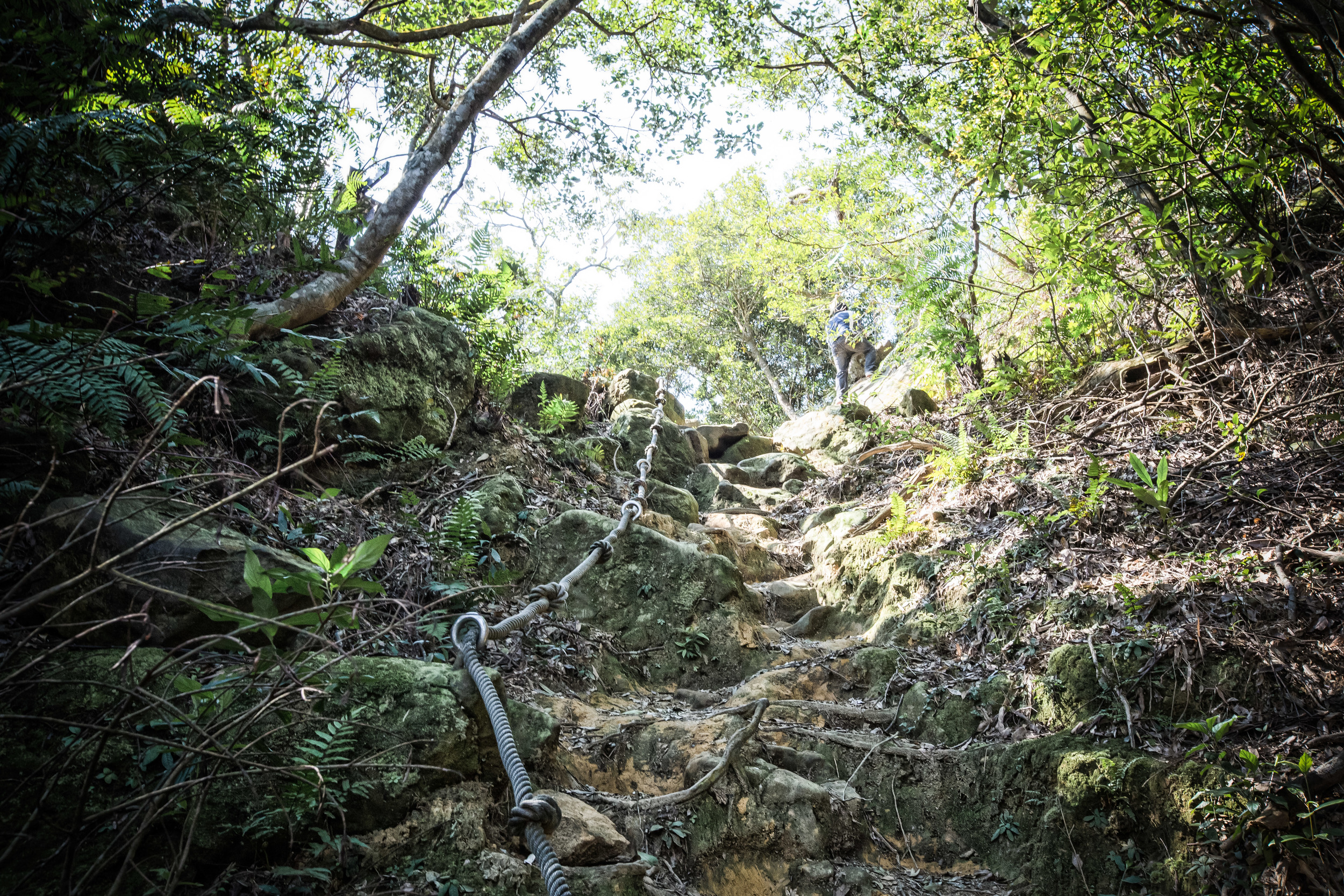
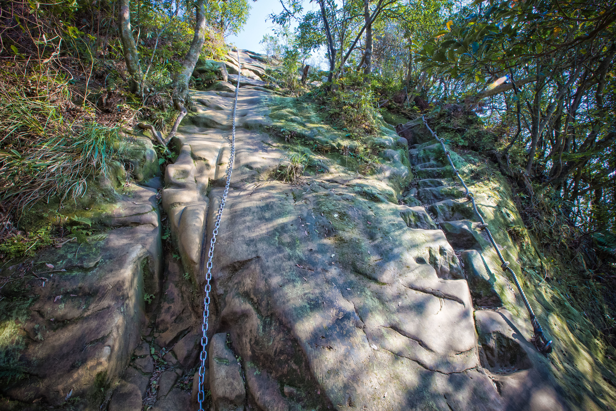
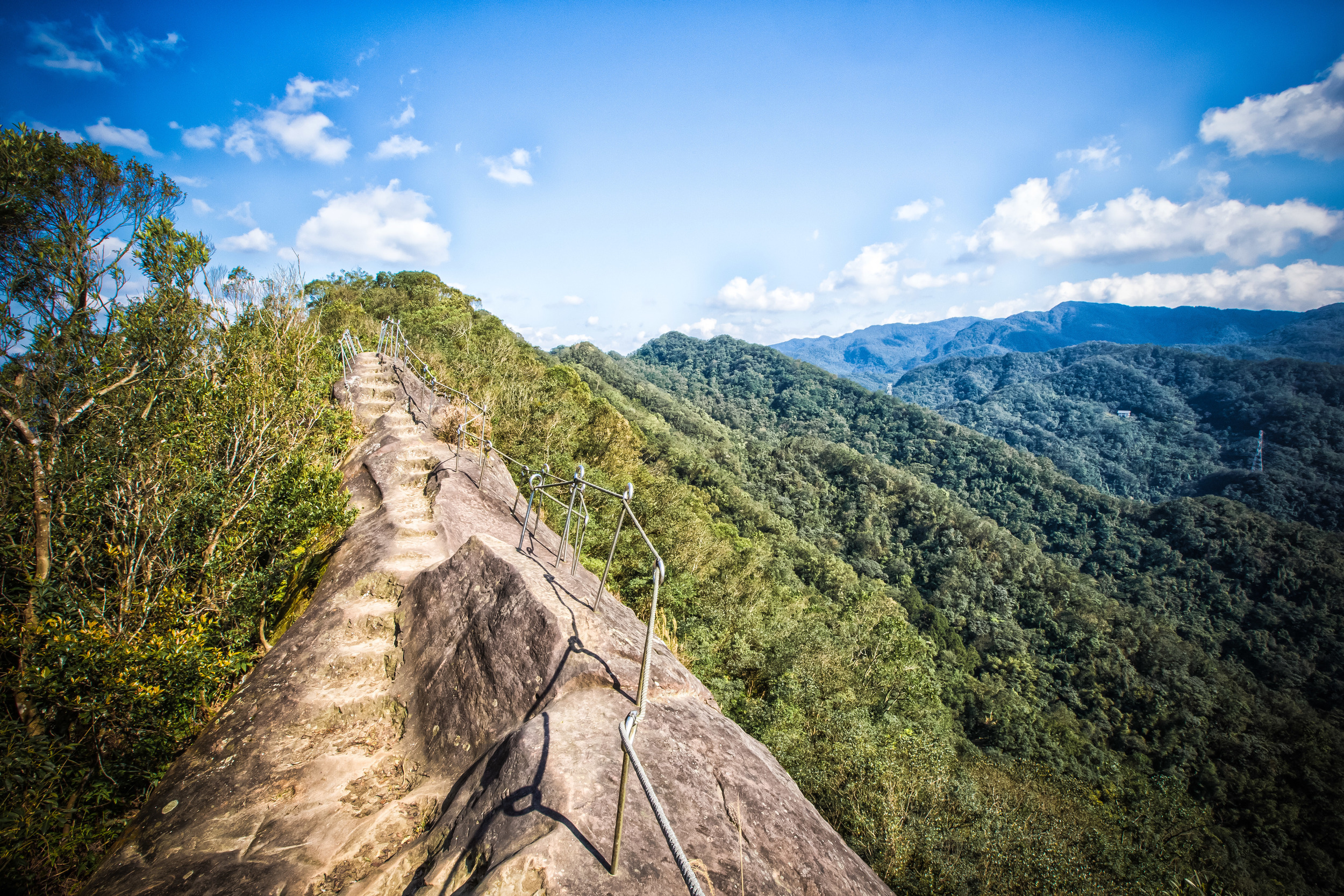
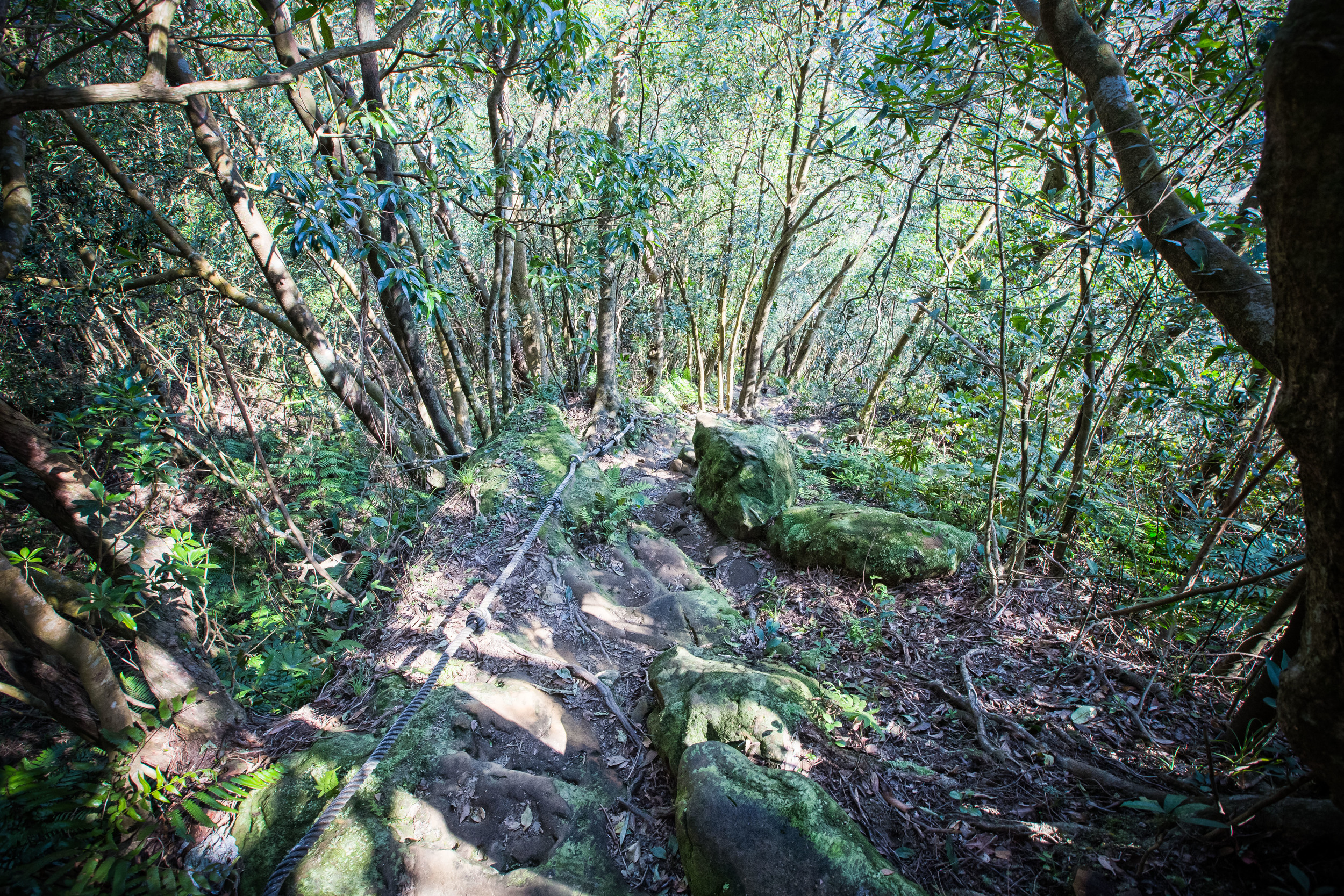
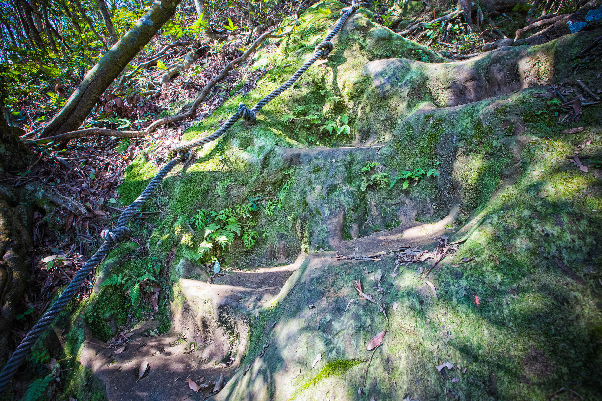
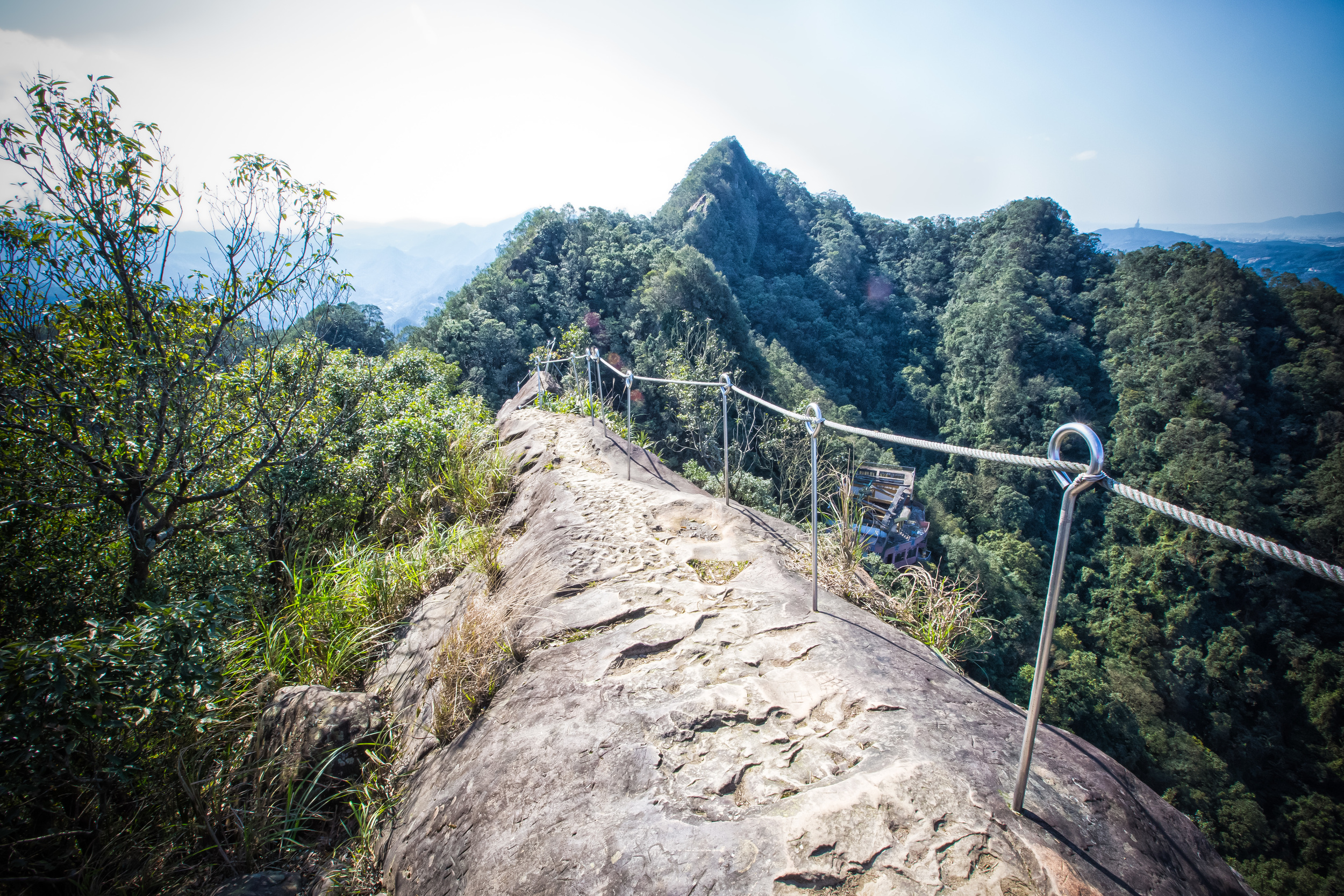
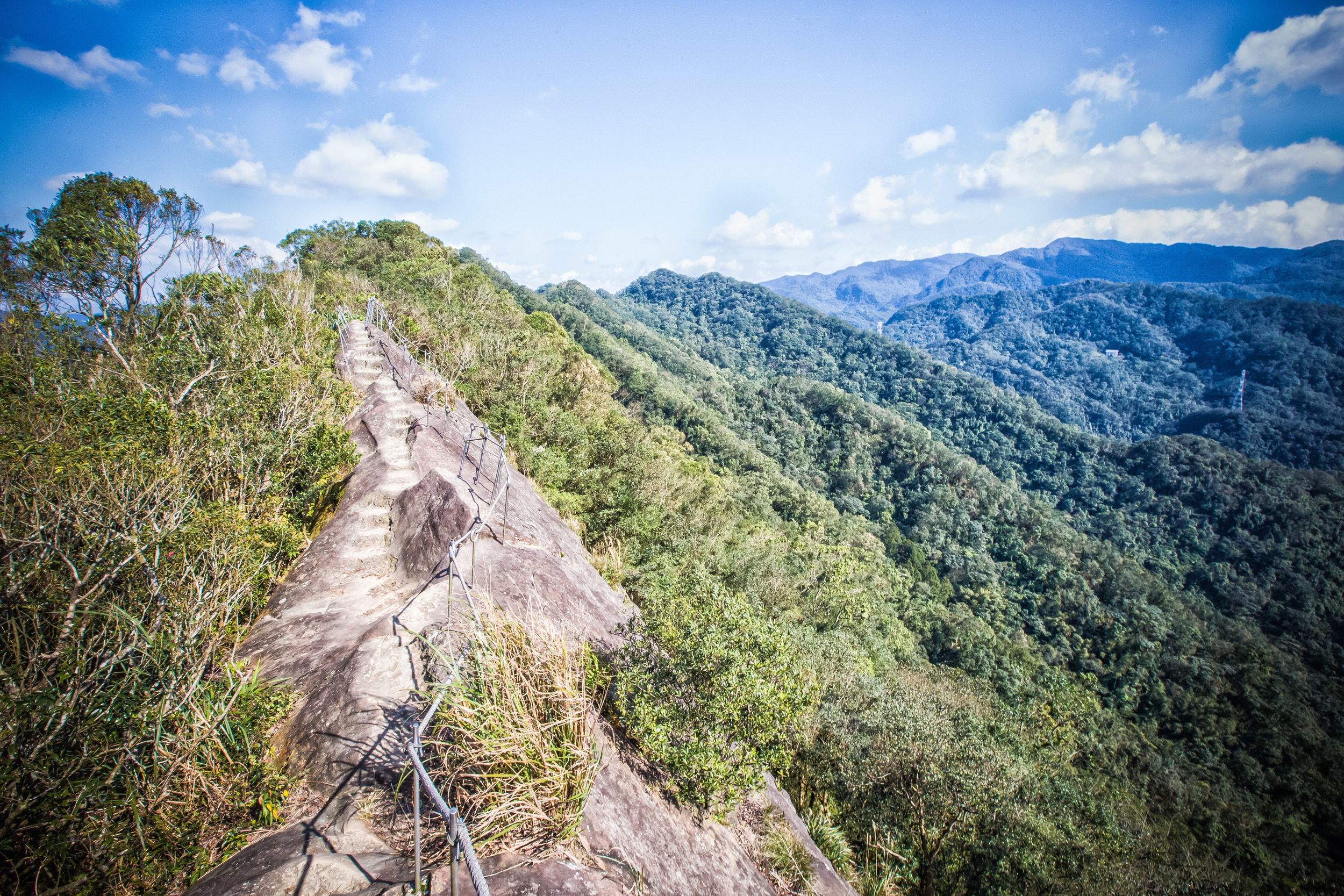
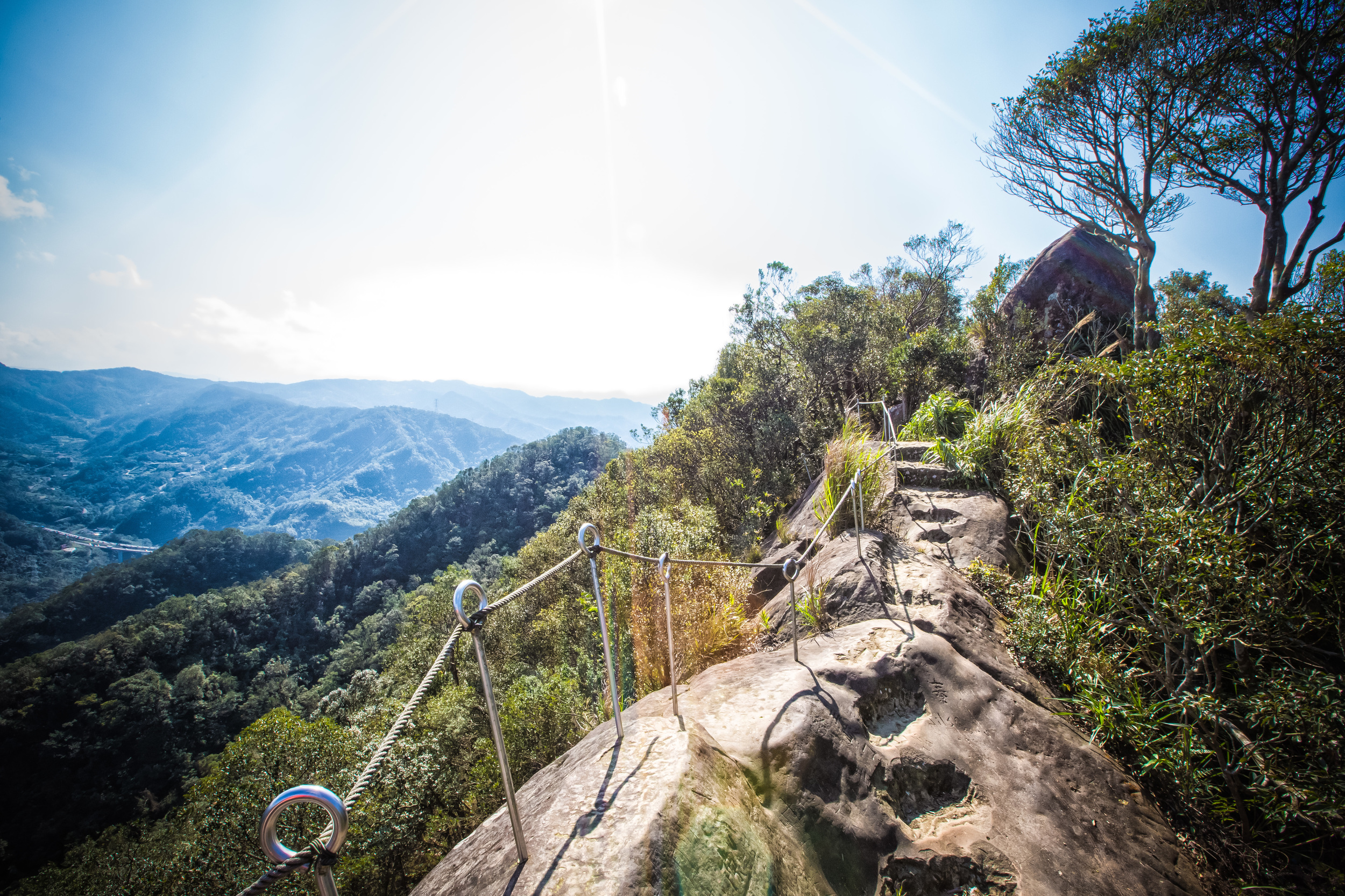
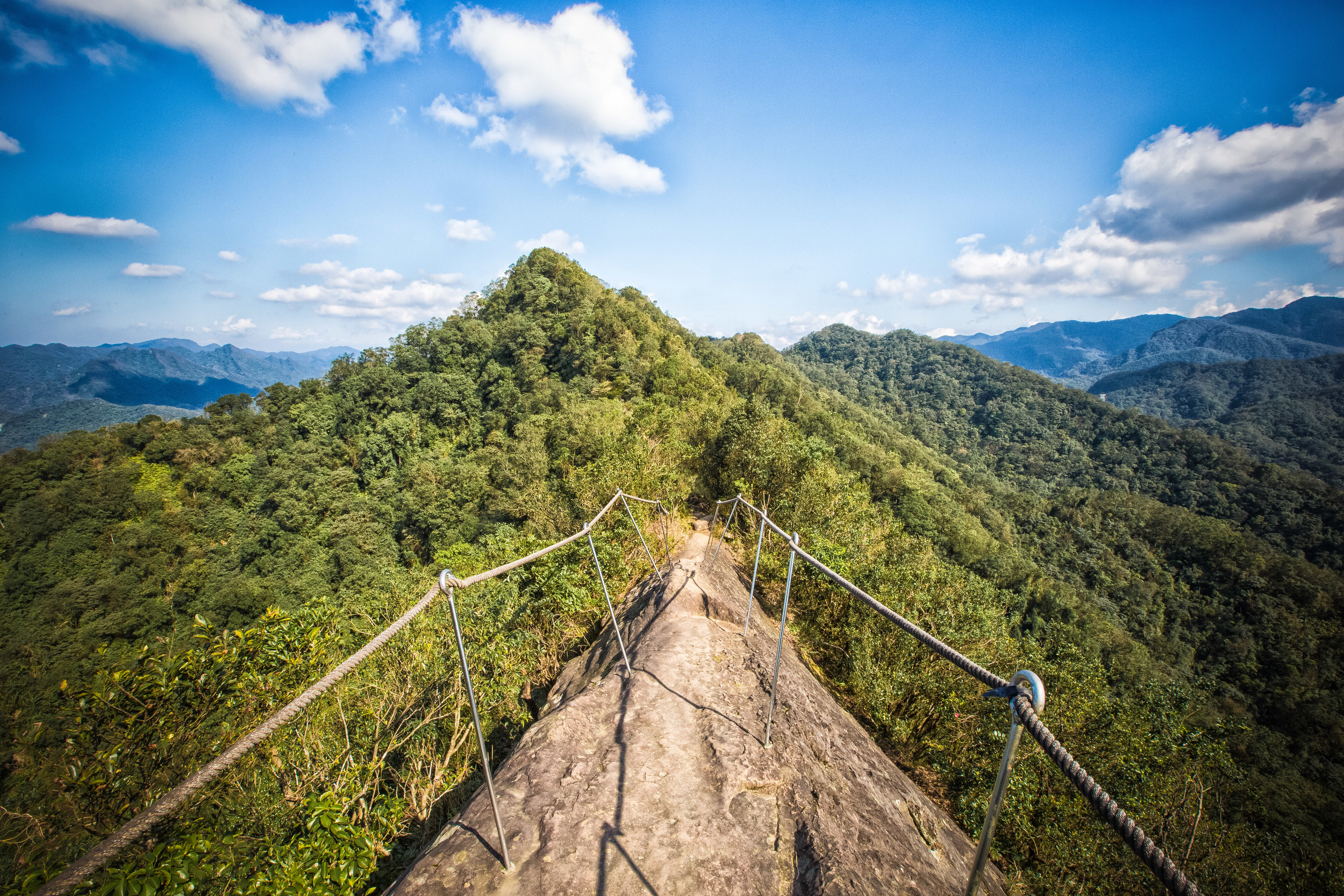
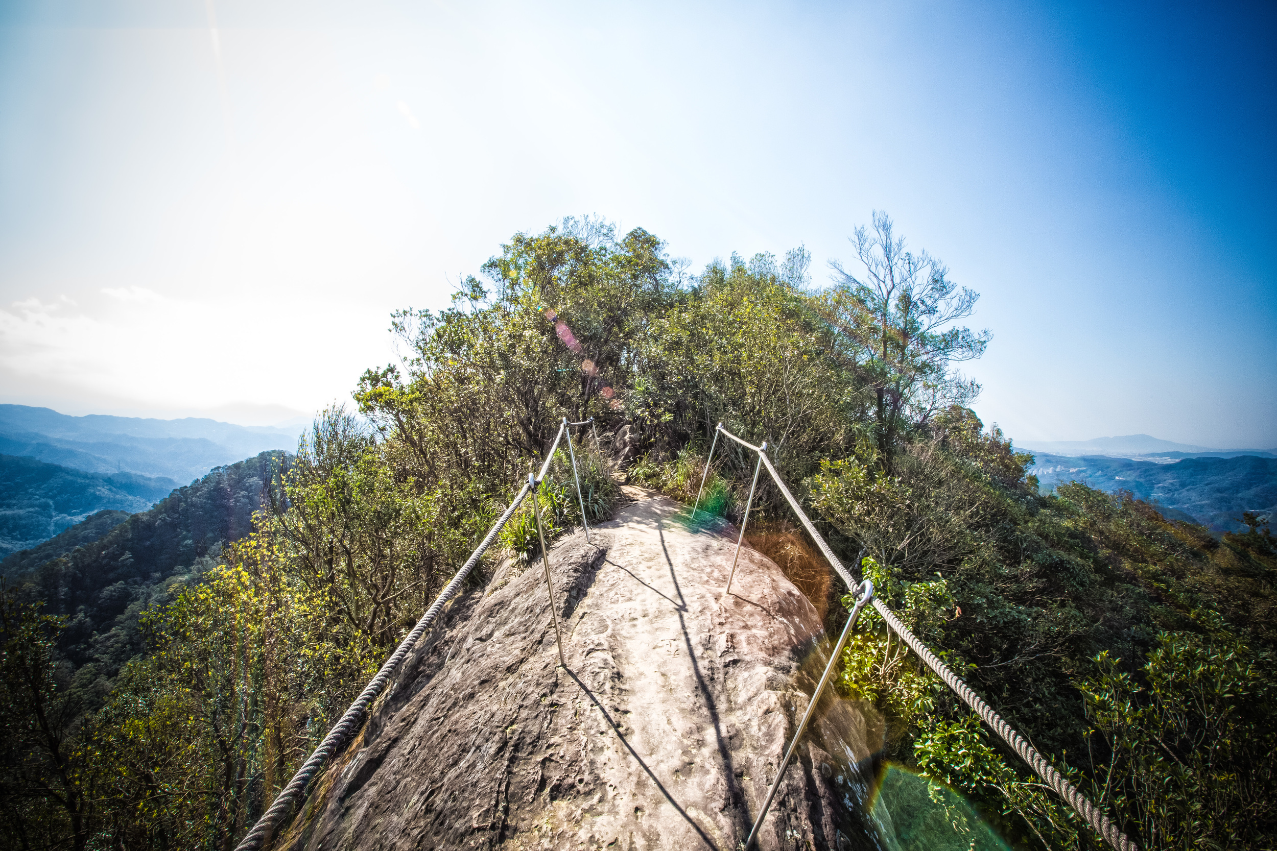
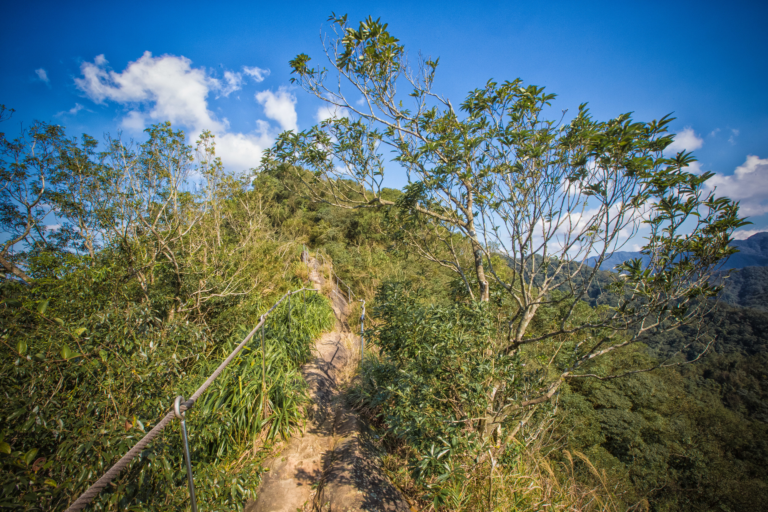
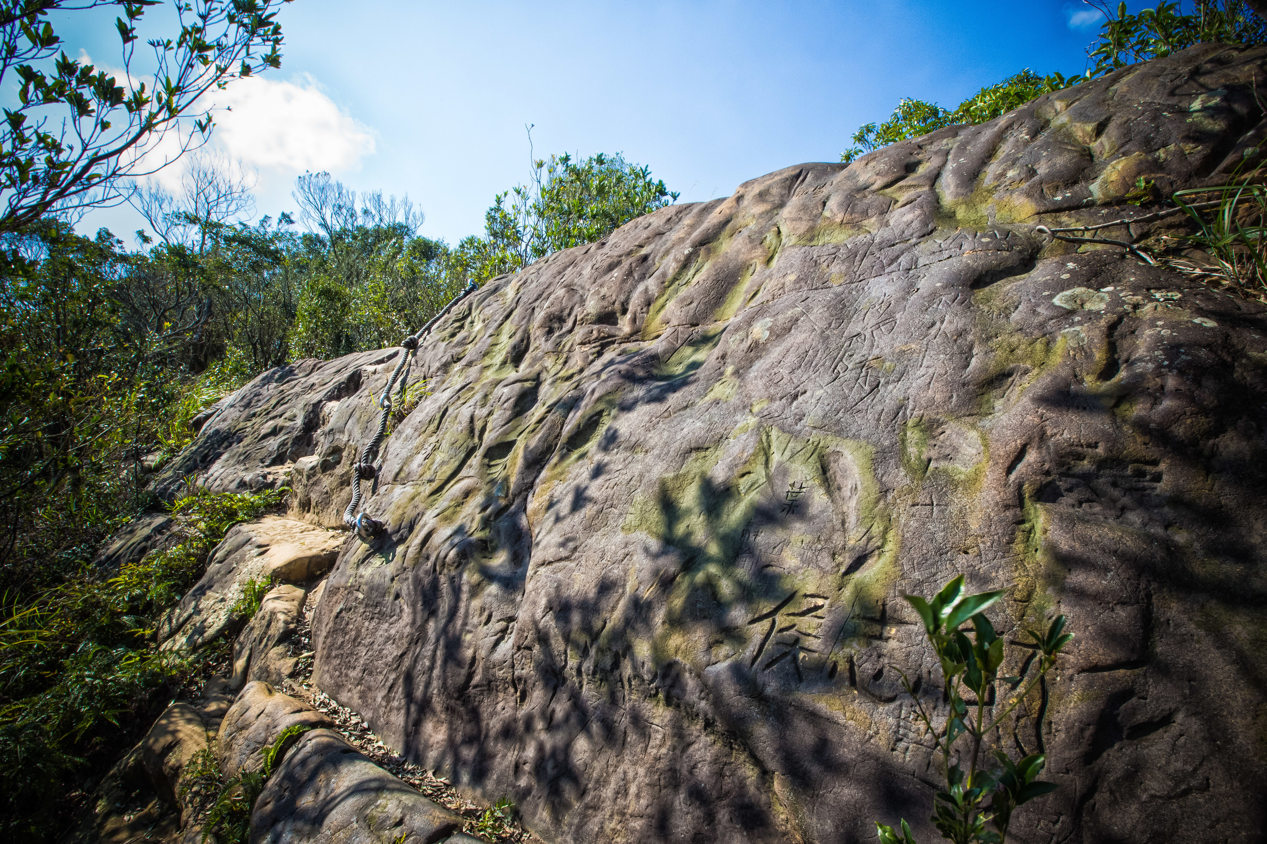
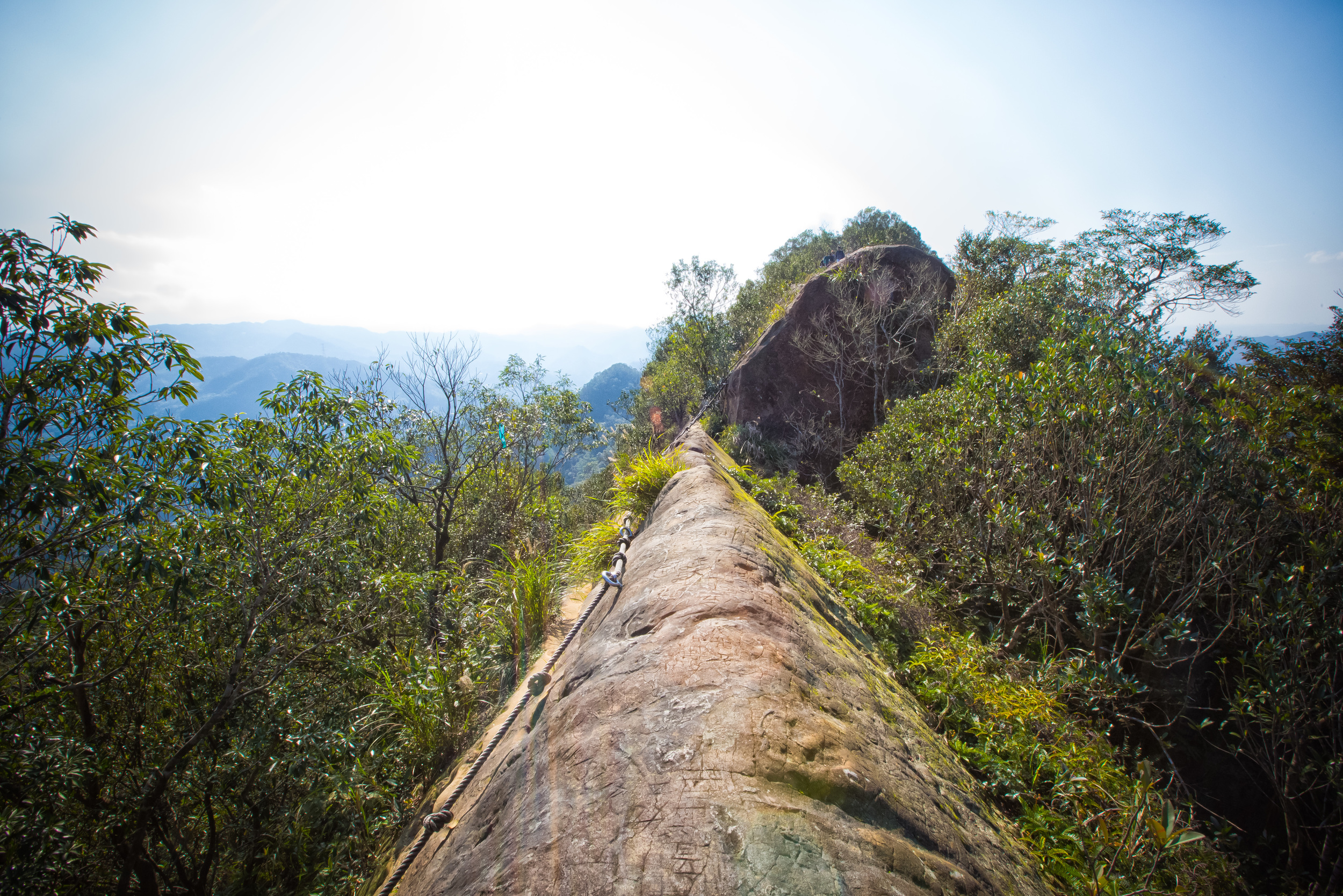
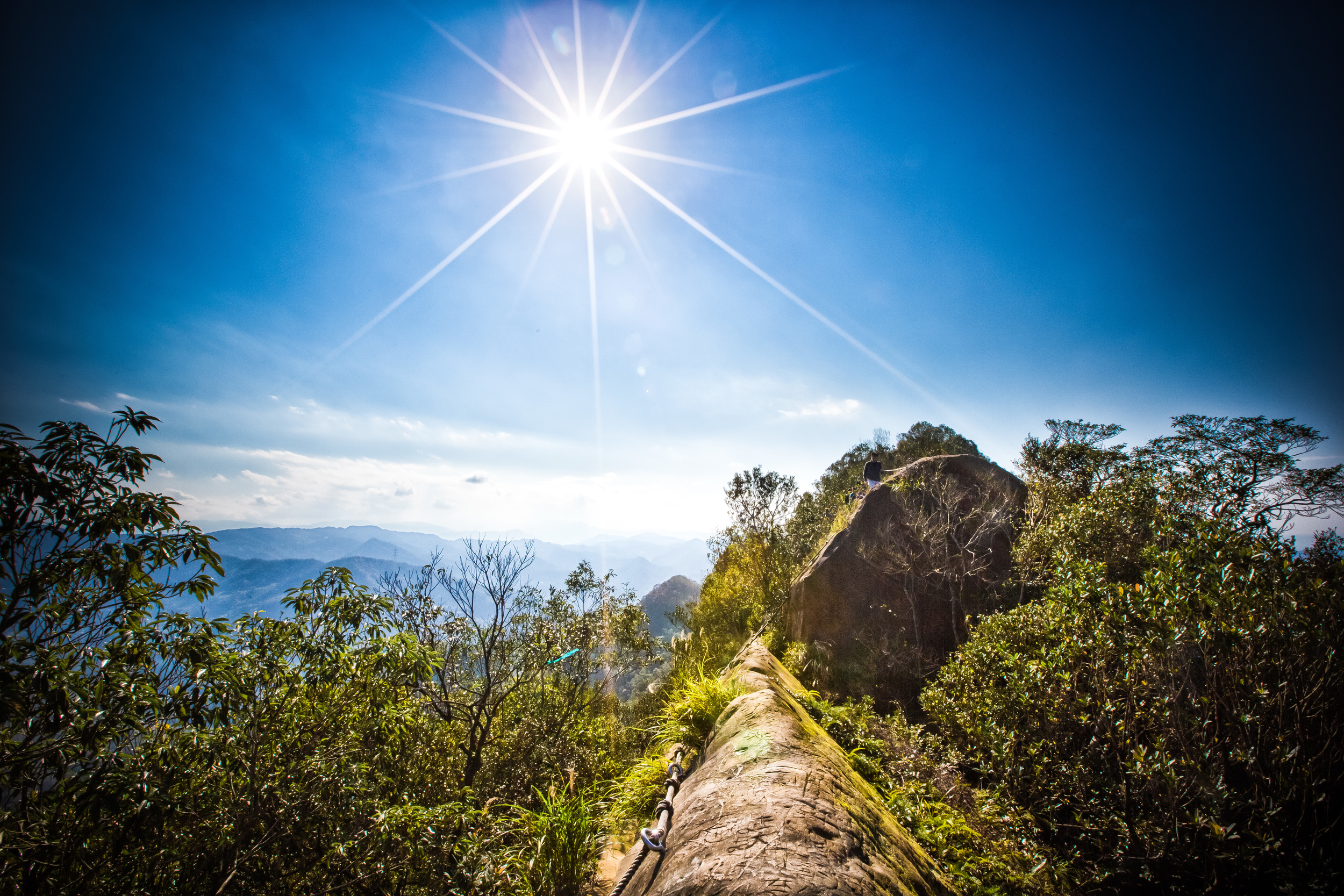
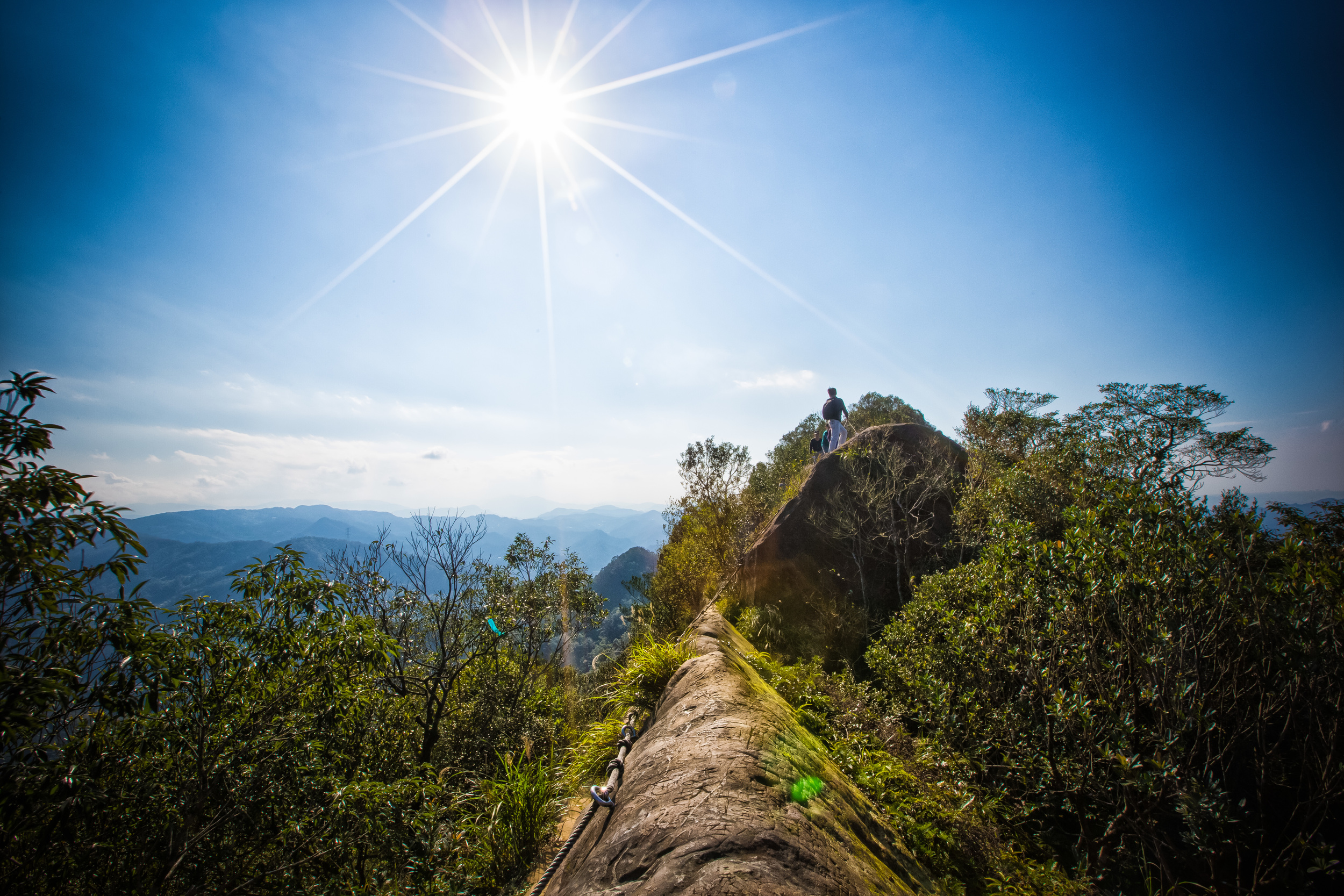
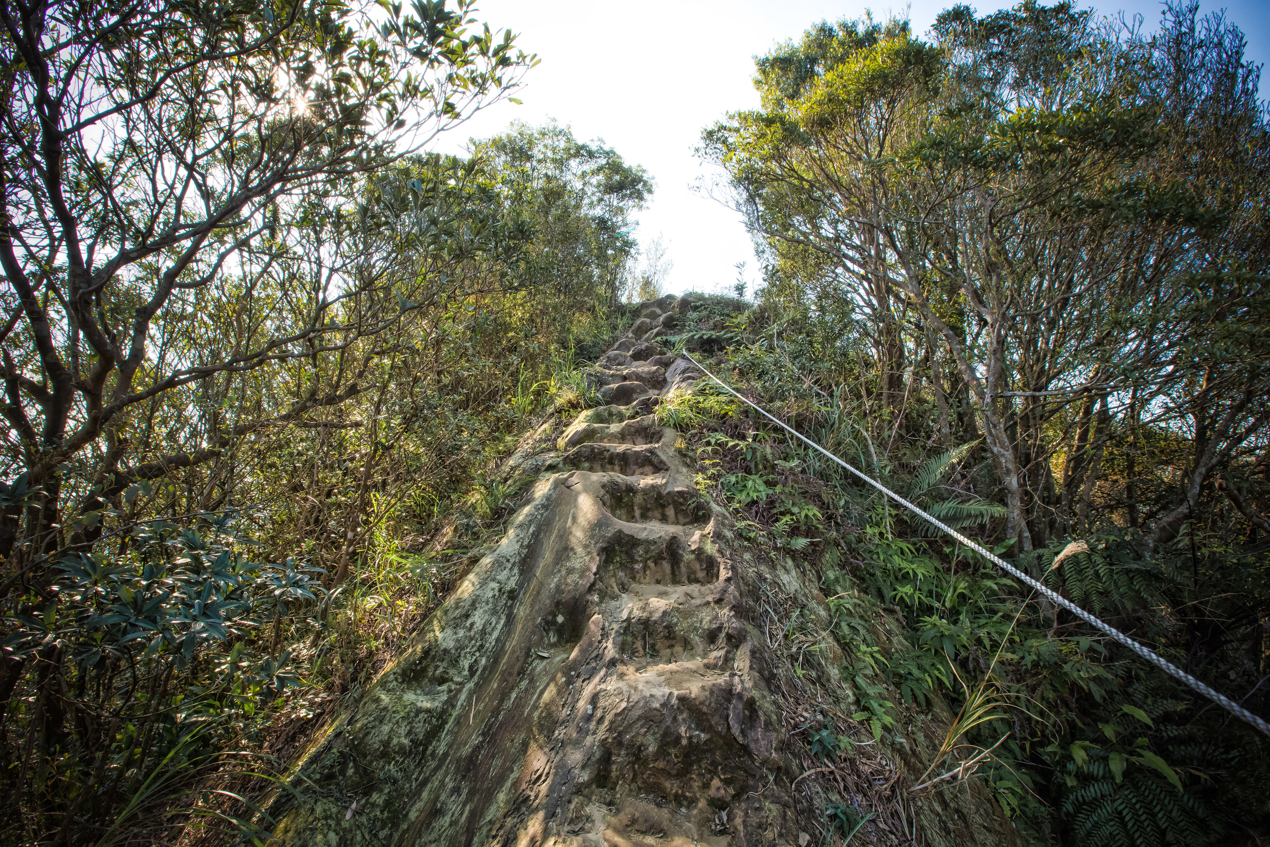
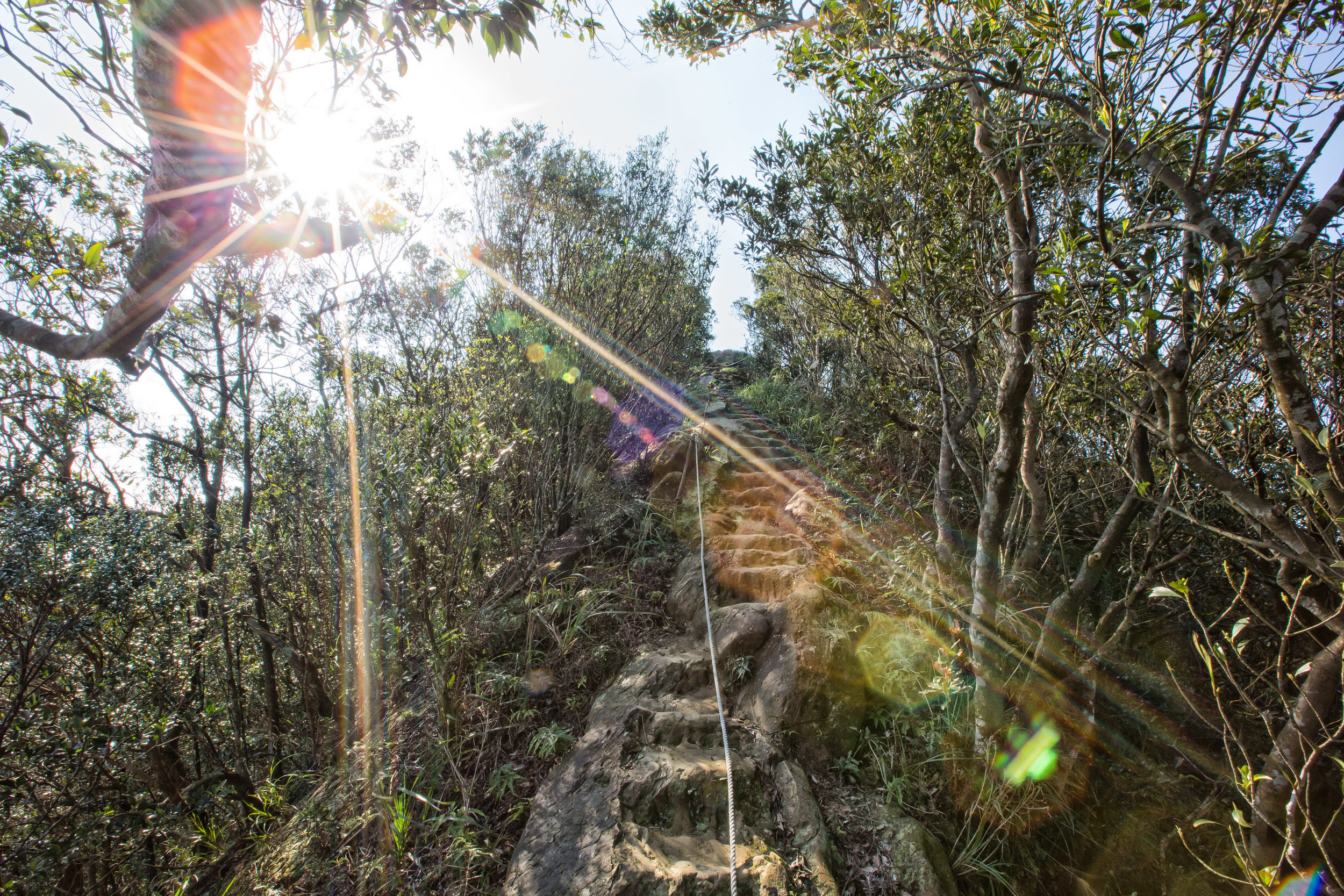
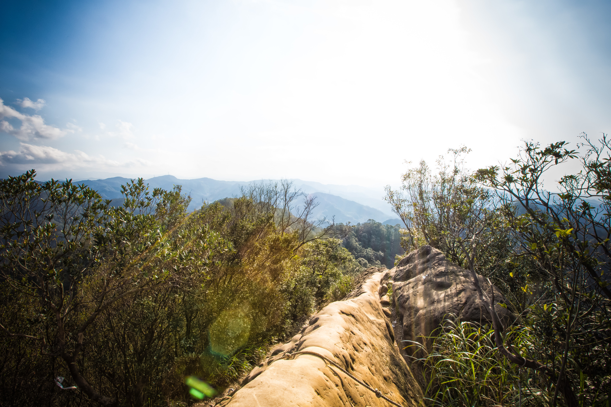
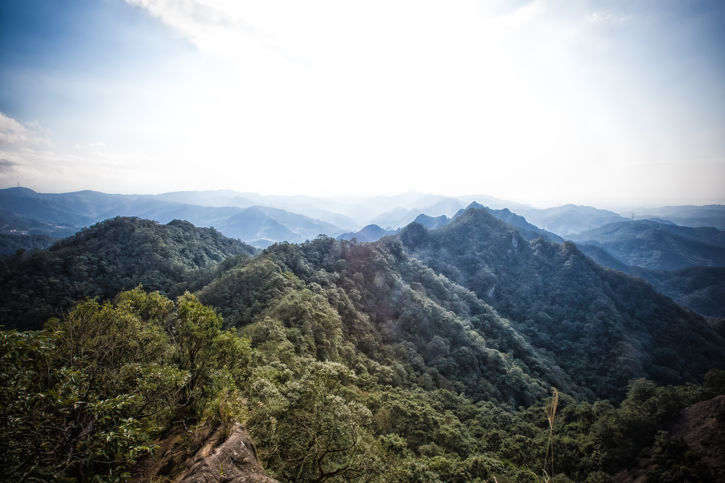
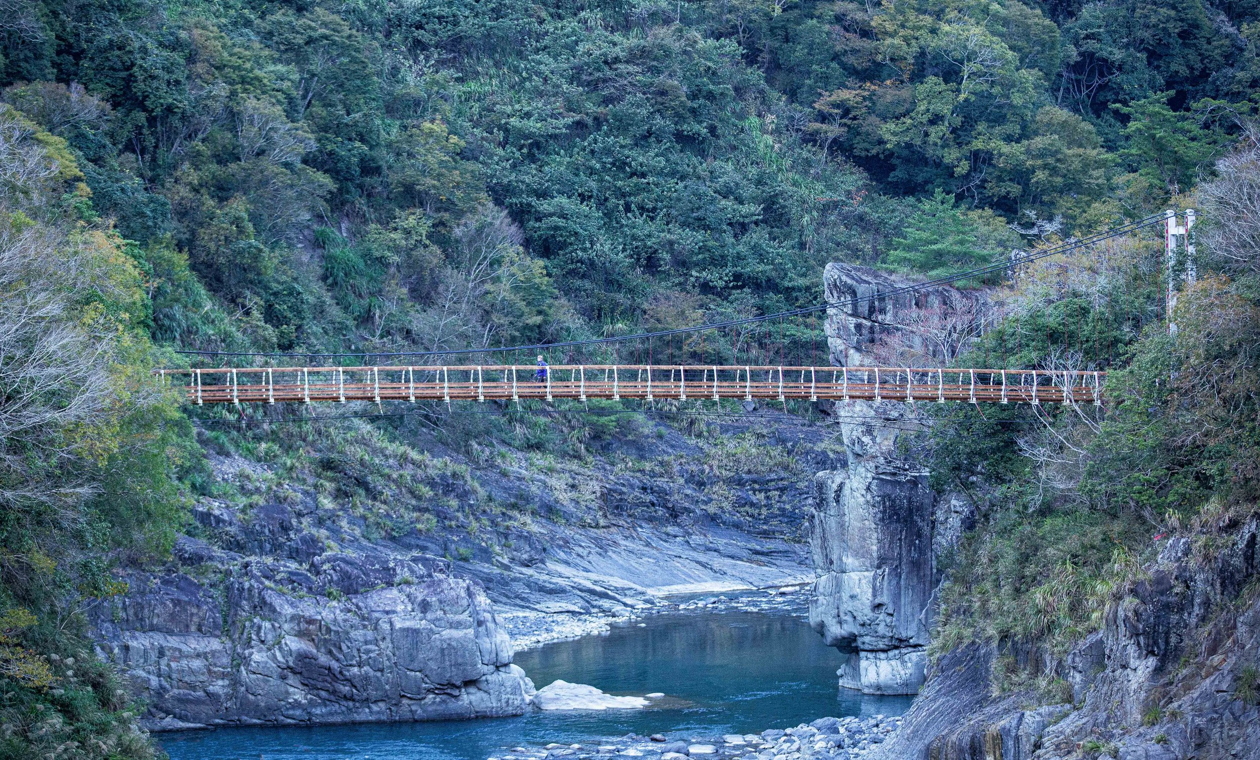
What most people are looking for from a visit to Qiandaohu is a wide view of the mountains, the terraced tea fields and the emerald green water of the river. Some think that you need to hike all the way down to riverside to get these photos, but you’d seriously be wasting a whole lot of time and energy if you did. The most iconic views of the area are from above and there are well constructed platforms in several different locations for visitors to view the beautiful landscape.
If you have access to your own means of transportation, then it will be easy to visit each spot to get photos. If you are a tourist and relying on public transportation however, you are going to have to decide how far you are willing to walk to check out the different views.
Getting There
'Thousand-Island Lake' is situated on Taipei’s notorious Number Nine highway (北宜公路) which is more or less a playground for the morons of the country who own fast cars and motorcycles. The ‘highway’ is a narrow and winding mountain road that is dangerous even without the Fast & the Furious wannabes. The road apparently averages at least one (or more) traffic fatality daily.
If you are a foreign tourist and driving either a scooter or a car on this road, you need to take extreme caution. Take your time.
If you are driving, just follow the road roads on the number nine until you reach the “Yong-An Community” (永安社區) where you’ll turn off the highway and head down the mountain.
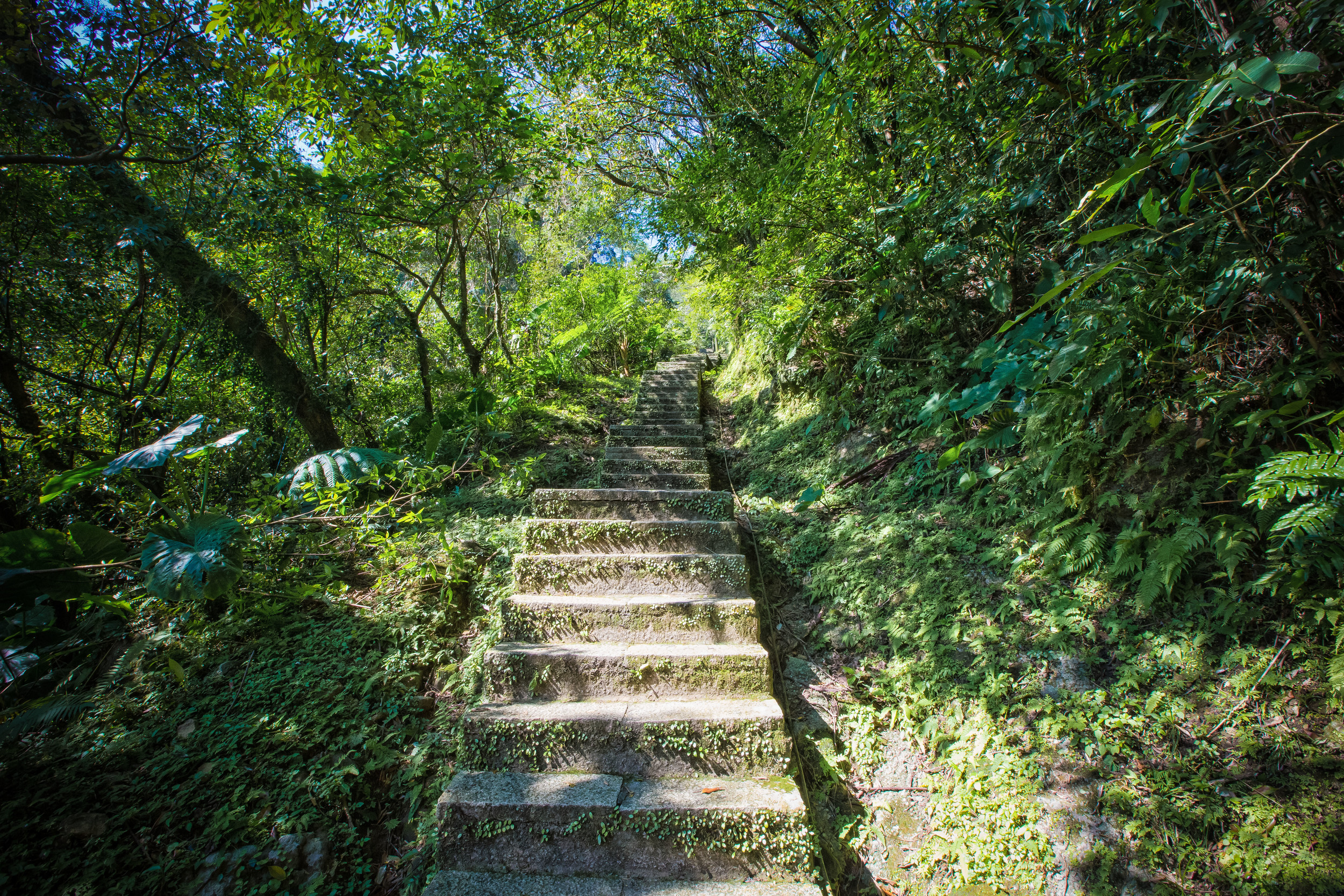
Thankfully, Taiwan is a convenient country and you are able to make use of public transportation to get there - From the Xindian MRT station (新店捷運站) take the Green #12 bus to Shiding (石碇) to the “Shisangu” (十三股) bus stop where you get off and walk down the hill.
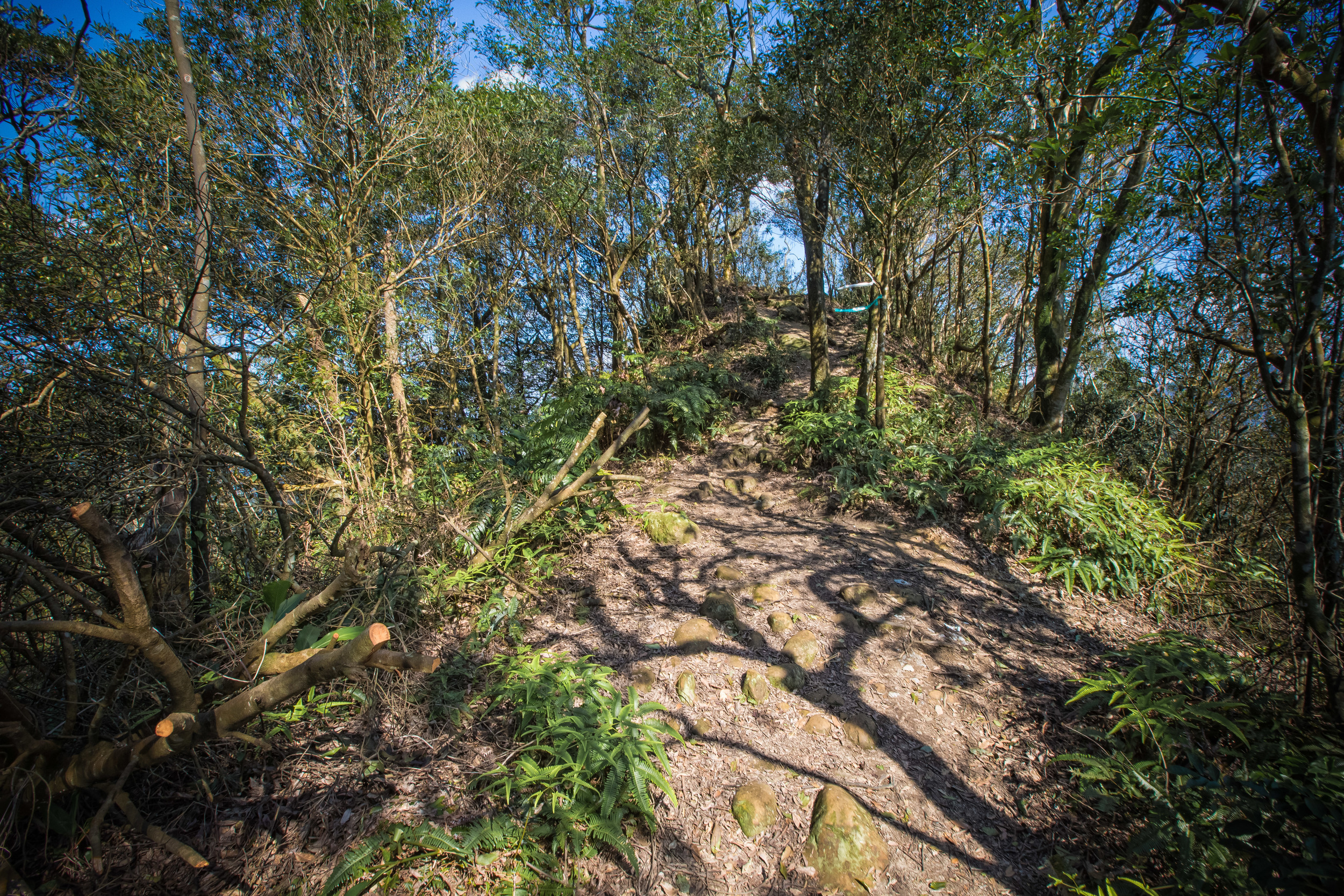
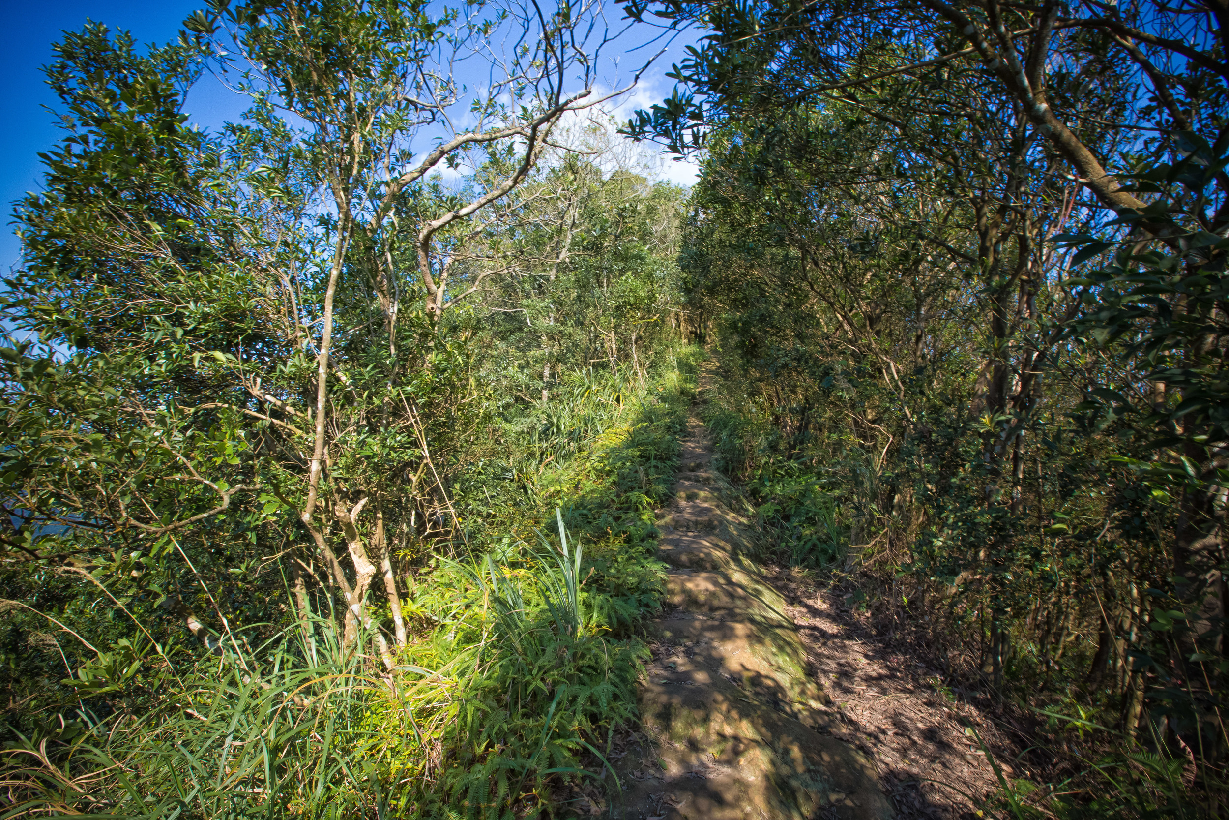
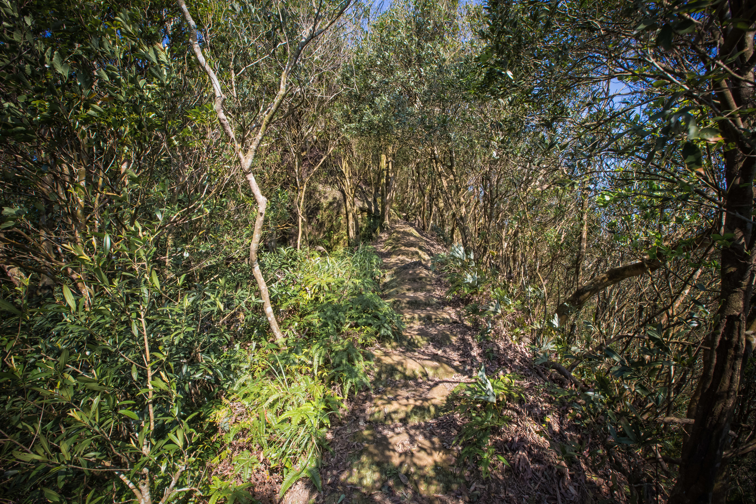
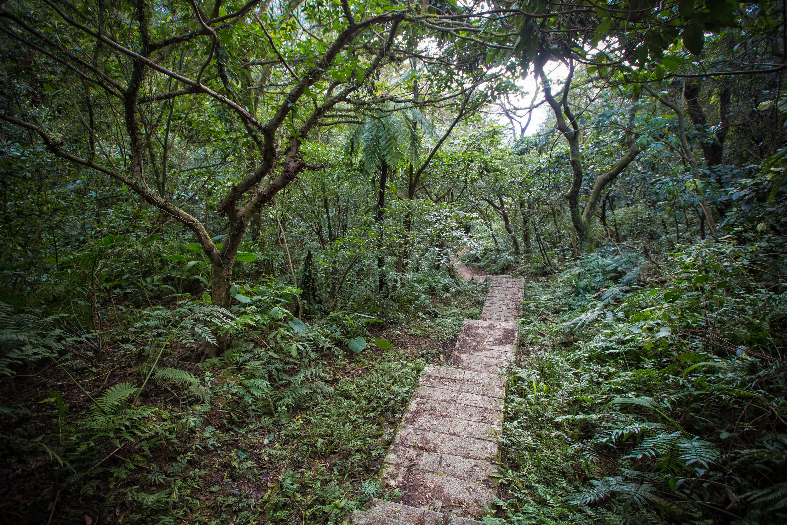
The walk shouldn’t take you any more than ten minutes to get to the first platform. From there its up to you if you wish to continue onto the others. Make sure to keep track of the time though and be aware of the bus schedule which takes you back into town.
Once you arrive on the hill you’ll notice detailed maps for the Yongan Trail (永安步道) which show each destination, the route and the distance.
Depending on your method of transportation, a trip to Qiandaohu can be a short stop on a day trip where you could also stop by the Shiding Old Street (石碇老街), Pinglin District (坪林), Wulai District (烏來區) or further into Yilan County. If you have to rely on public transportation however, its probably best to plan an entire day around your visit.
No matter how you get there, I'm sure you'll enjoy the beautiful scenery and will be able to take some nice photos. Be sure to share them online and help show people that there is more to Taiwan than just Taipei 101 and Stinky Tofu!
Enjoy yourself and be safe on that road!
Gallery / Flickr (High Res Shots)