As an avid Taiwan travel writer, one of the things I try to keep up on are the popular travel-related trends around the country at any given time. For example, in recent years we’ve seen a resurgence in the popularity, especially among the younger Insta-generation for hiking, attending flower festivals, enjoying beaches, etc.
Thanks to the power of social media when certain locations go viral, you can be sure that it will explode with day-trippers who are willing to travel from one end of the country to the other just to take a photo of themselves in a certain location or to eat at a specific restaurant.
It’s actually quite amazing to see it in action.
Take one of my favourite hikes as an example - Wuliaojian (五寮尖), one of northern Taiwan’s most difficult hikes, has always been loved by hikers for some great weekend exercise. I’ve been hiking the trail for years and have become familiar with quite a few of the older hikers who hike it every weekend. The trail was always relatively quiet and could easily be completed without many people getting your way.
Some photos on social media from some popular Instagrammers ruined that for all of us.
Today there are long lines of people on the trails with the vast majority of people completely unprepared for what awaits them. But at least they look really good while doing it, right?
It may seem like I’m complaining, but one of the great things about these travel trends is that people constantly have new places to visit and are learning more and more that they’re actually able to appreciate the beauty of their own country. On the other hand, most of the locations that go viral are ever really able to handle the sudden influx of thousands of people looking to get their photos.
Considering mountain trails have been one of the most popular trends in domestic travel, the government has sought to capitalize on that by improving the infrastructure in these areas as well as adding new attractions and destinations to visit.
One area where this has been most obvious has been with the not-so-insignificant number of suspension bridges being constructed in the mountains over the past few years.
Honestly, it’s one of those trends that I often find myself scratching my head at, but hey, these bridges are pretty cool and they’re great for attracting people and (more importantly) keeping things viral, so why not?
Take the recently completed “Shan-Chuan Glass Suspension Bridge” (山川琉璃吊橋) in southern Taiwan’s Pingtung County (屏東縣), which is one of the longest and highest pedestrian bridges of its kind in Taiwan. Or how about the Fengbin Skywalk (豐濱天空步道) at Hualien’s Qingshui Cliffs or the Skywalk (天空步道) at Taoyuan’s Xiaowulai Waterfall - all of which have glass floors and were constructed at great cost - but are extremely popular with tourists.
Link: “Top Ten Most Beautiful Suspension Bridges” 十大絕美吊橋 (健行筆記)
The not-so-open Xikou Suspension Bridge…
Even though I’m not personally too crazy about all these bridges being constructed in the mountains, with all the COVID-19 stuff going on and not much to do, I decided to take a ride into the mountains of Taoyuan earlier this year to check out the newly constructed and highly-acclaimed Xikou Suspension Bridge (新溪口吊橋).
I figured that if I visited on an early weekday morning that I could avoid most of the insta-crowd and be able to get some nice photos to do a quick write-up about the 303 meter-long bridge that connects Jiaobanshan (角板山) on one side of the Dahan River (大漢溪) to the Xikou Tribe (溪口部落) on the other.
Unfortunately when I arrived at the bridge there was a notice posted nearby that stated that it was closed from February 3rd, 2020 to June 30th, 2020.
Unimpressed, I approached the bridge and took a few photos anyway and then decided to make my way back down towards Daxi (大溪) where I’d have to come up with some other plans for the day.
Fortunately as I made my way back to the Northern Cross-island highway (北橫公路), I remembered that there was another, historic suspension bridge in the area and decided to stop by to get some photos of it.
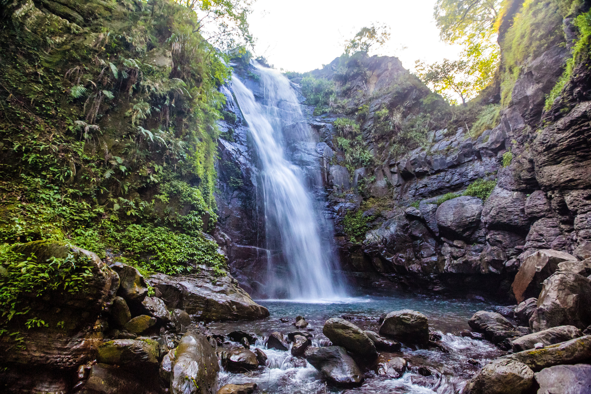
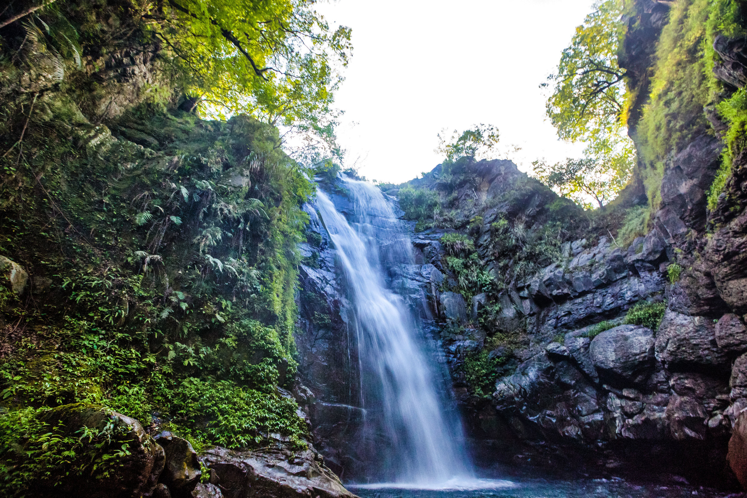
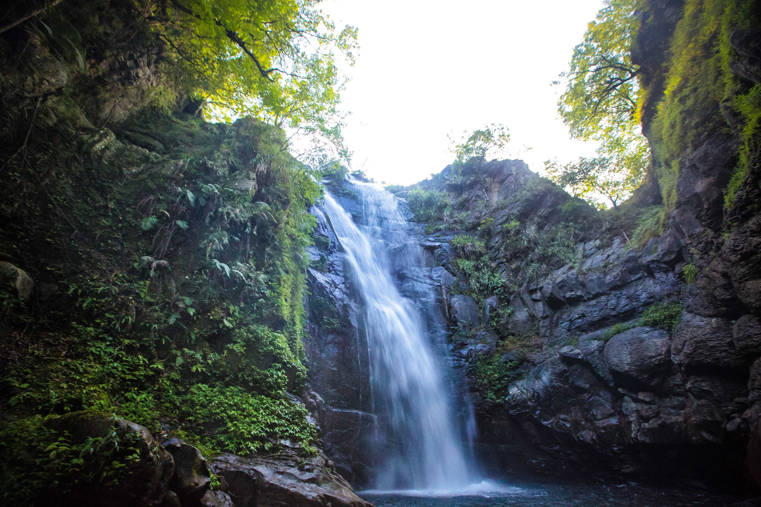
So, instead of introducing the Xikou Suspension Bridge, I’ll be introducing what I think is actually a prettier (albeit less popular) bridge, the Yixing Suspension Bridge (義興吊橋) which connects Luofu Village (羅浮村) to the network of hiking trails at Xiaowulai across the river.
Yixing Suspension Bridge
Two of the most popular locally made films in recent years were the Seediq Bale (賽德克巴萊) films that told the story of the Wushe Incident (霧社事件) and the valiant struggle of one of Taiwan’s indigenous groups against the Japanese Colonialists.
The second of the two-part film series was titled “The Rainbow Bridge” (彩虹橋) which alludes to the Seediq (賽德克) peoples legend that when they pass away they cross a “rainbow bridge” into the afterworld.
Since those movies came out, it seems like almost every bridge in the mountains, especially those in areas where indigenous tribes are located have been randomly nicknamed the “Rainbow Bridge” or the “Seediq Bale Bridge” and this one is no different.
In the government’s own tourist info about Yixing Bridge, they continue this trend by talking about the film and the Rainbow Bridge in their introduction.
Link: 義興吊橋 (Taoyuan Travel)
Is that necessary? I don’t know. It does give people a point of reference though.
As I mentioned above, there have been quite a few suspension bridges constructed in the mountains around Taiwan in recent years (possibly thanks to the films), but this bridge isn’t one of them.
Luofu Village’s Yixing Bridge was constructed in 1966 (民國55年) for the purpose of transporting water to the small community living on the mountain across the Dahan River. Originally only able to accommodate about ten people at once, the bridge was renovated and strengthened in 2013 (民國103年) and is now able to accommodate at least a hundred people at once.


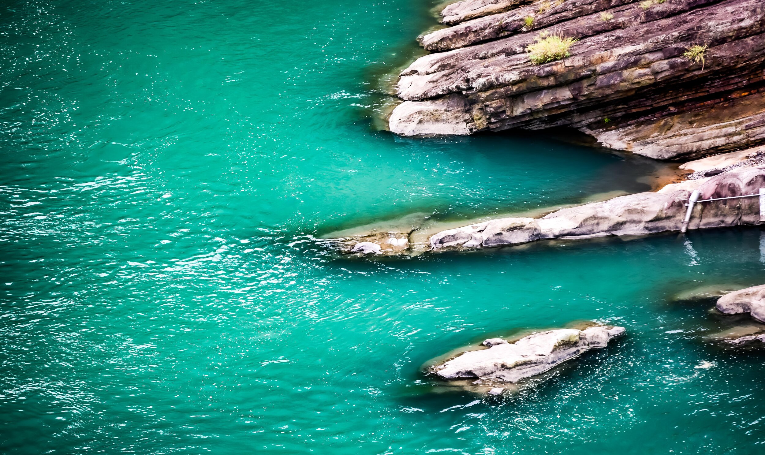

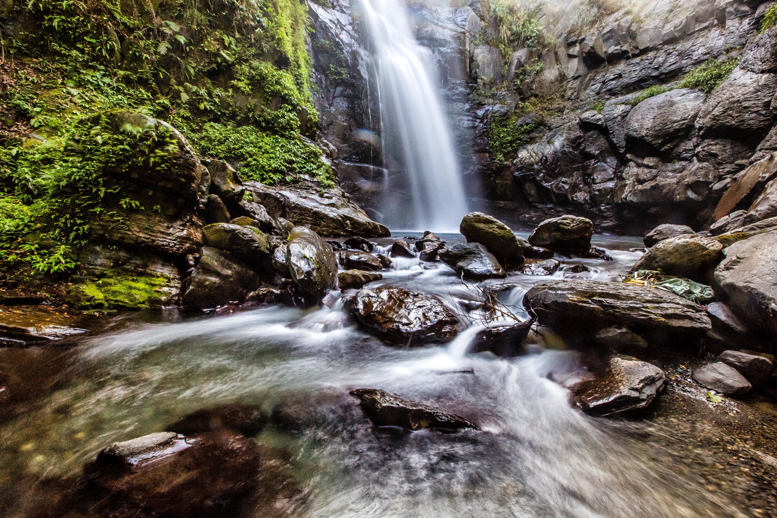
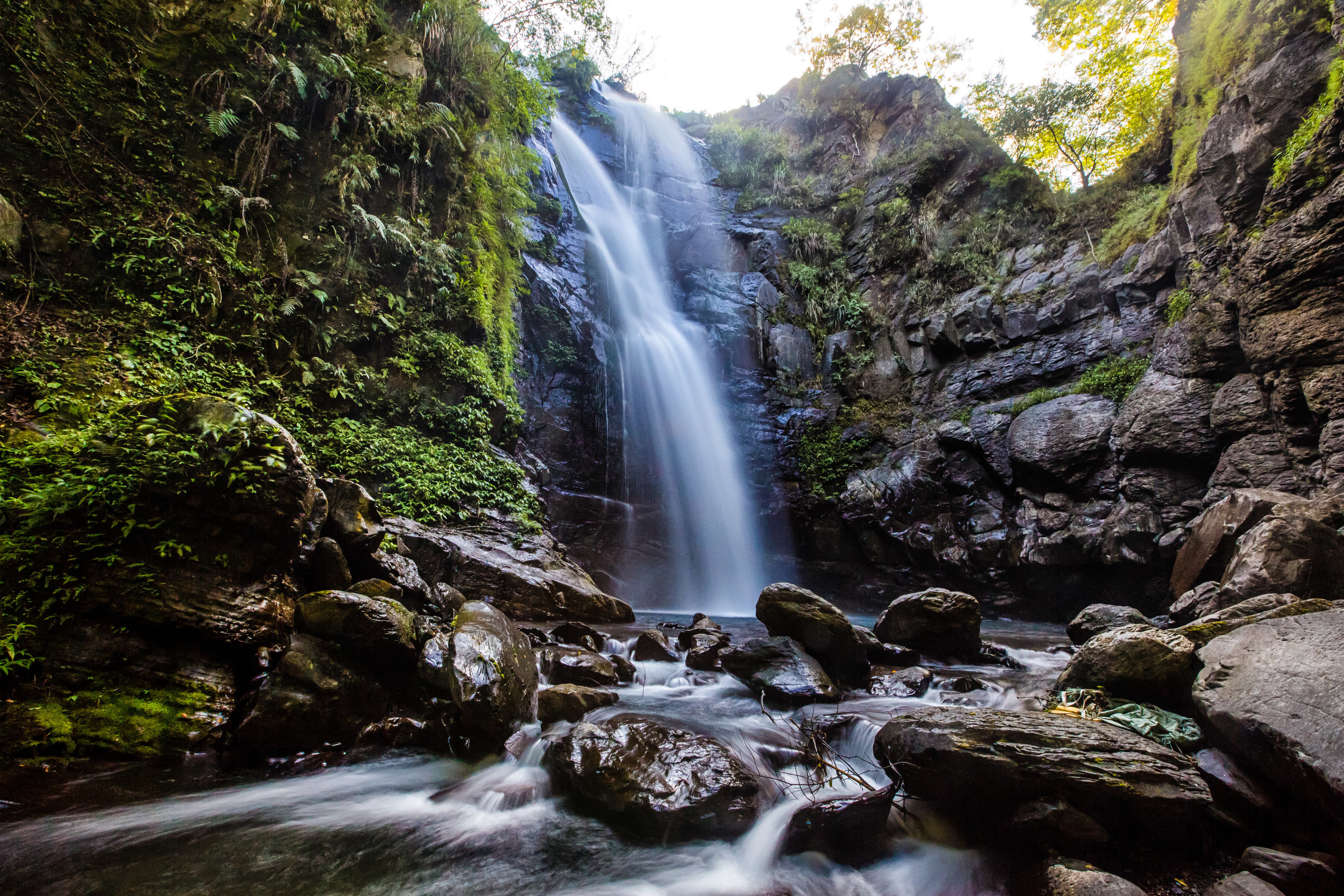
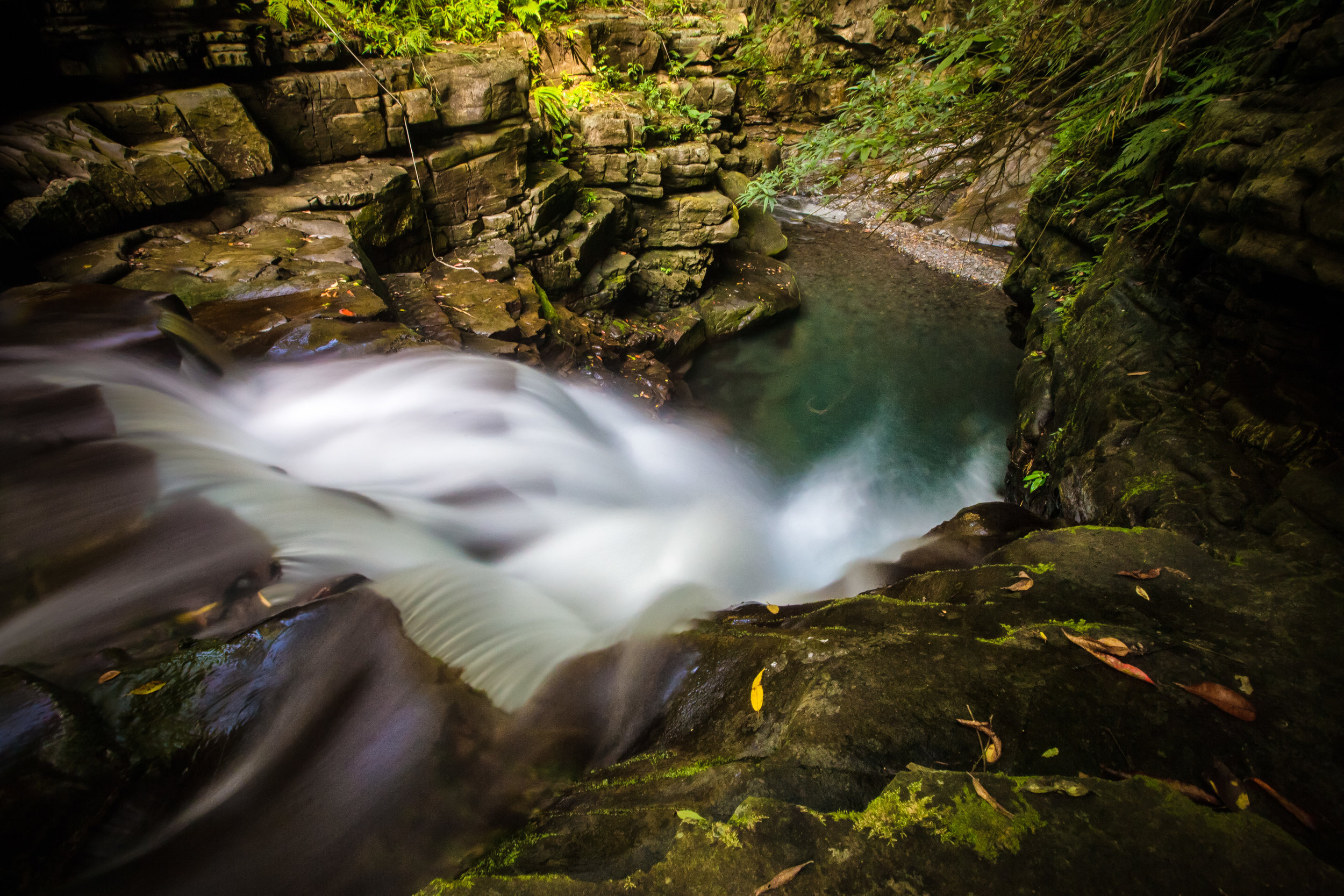
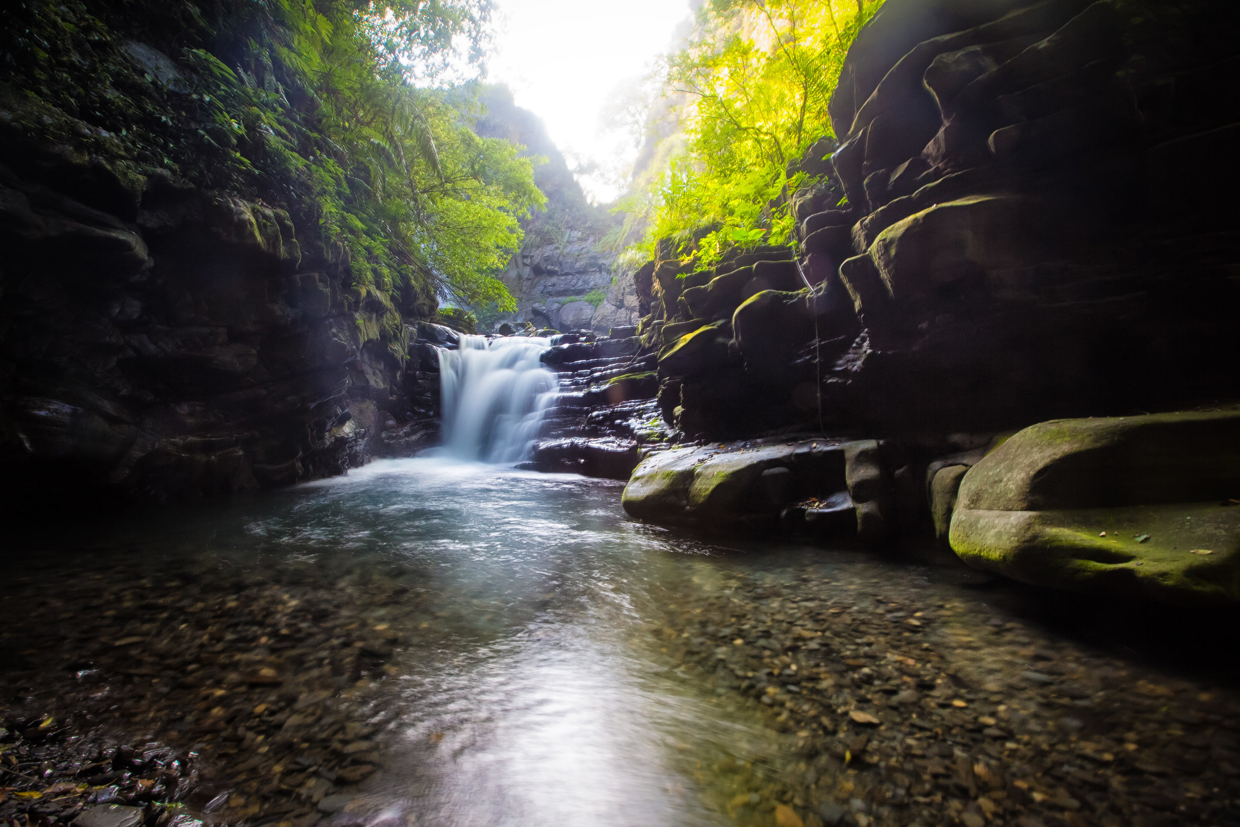
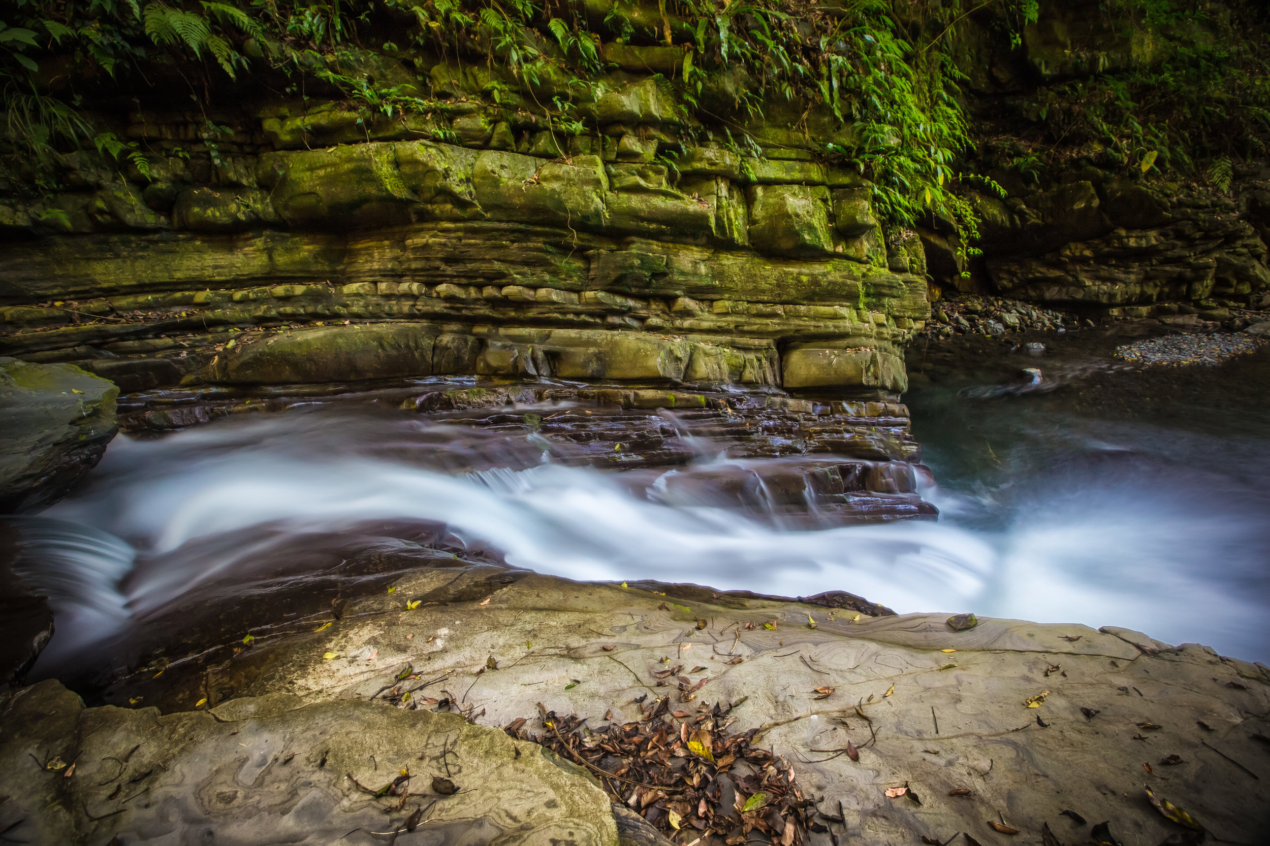
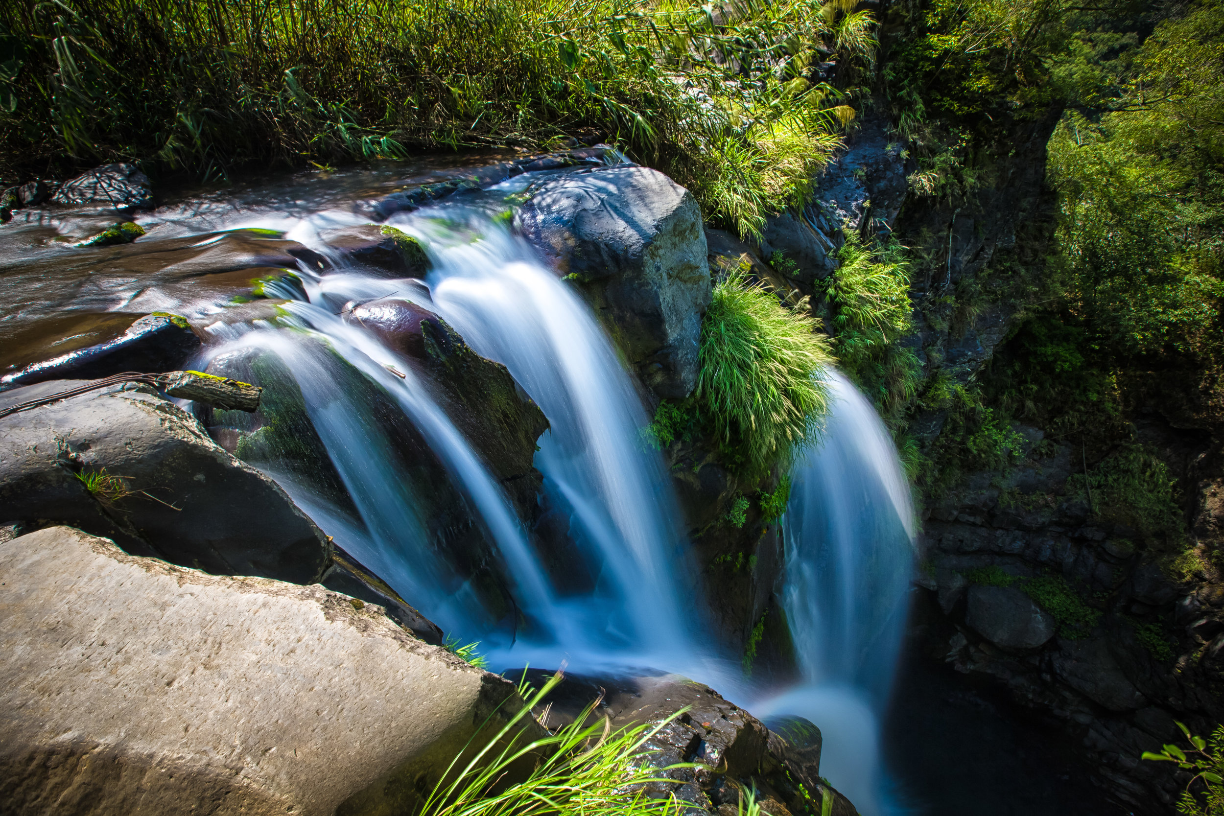
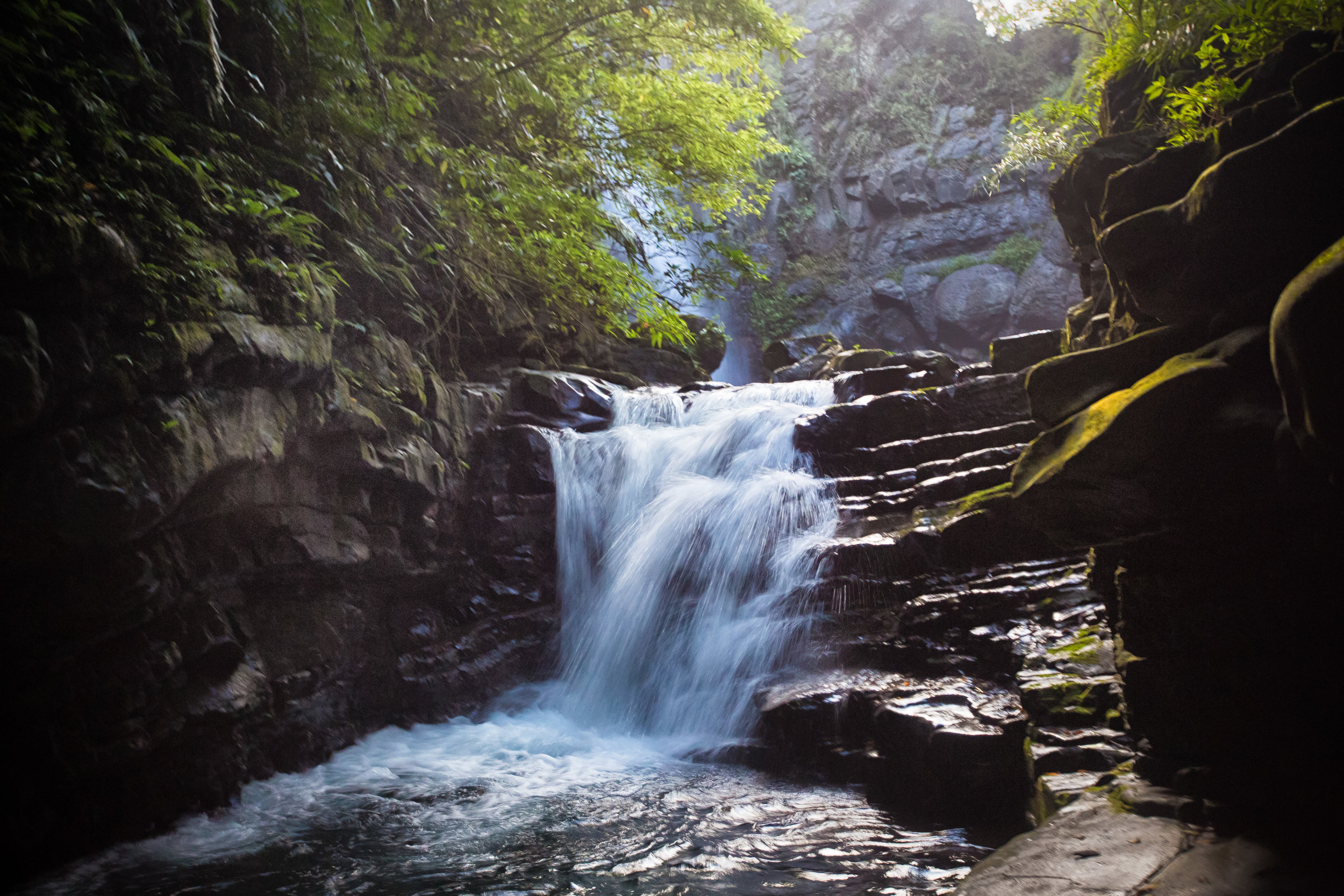
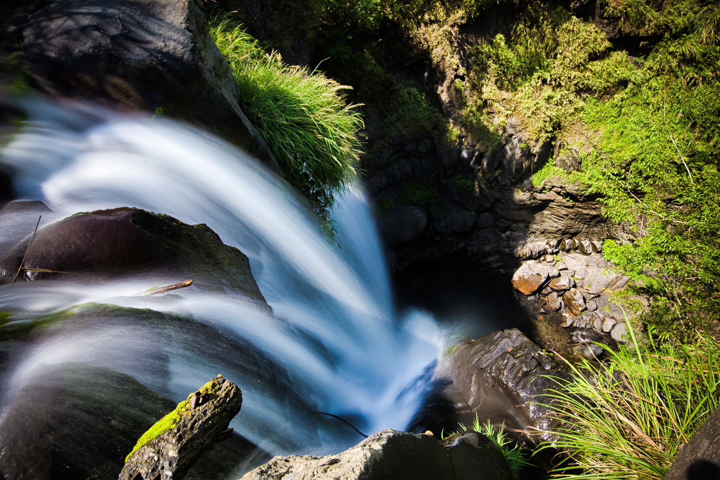
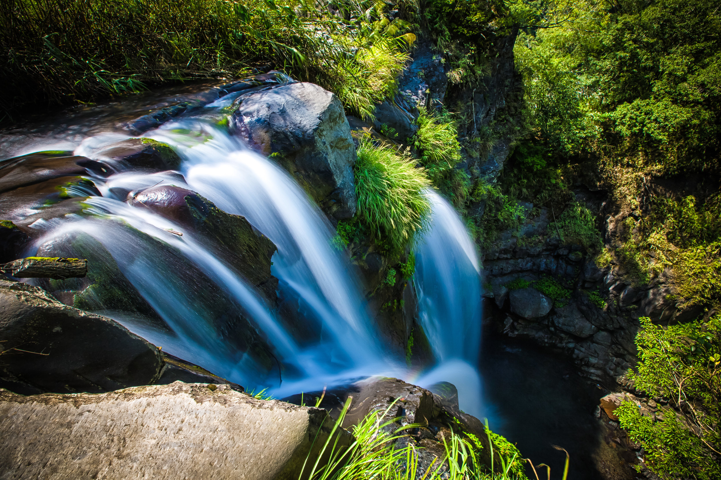
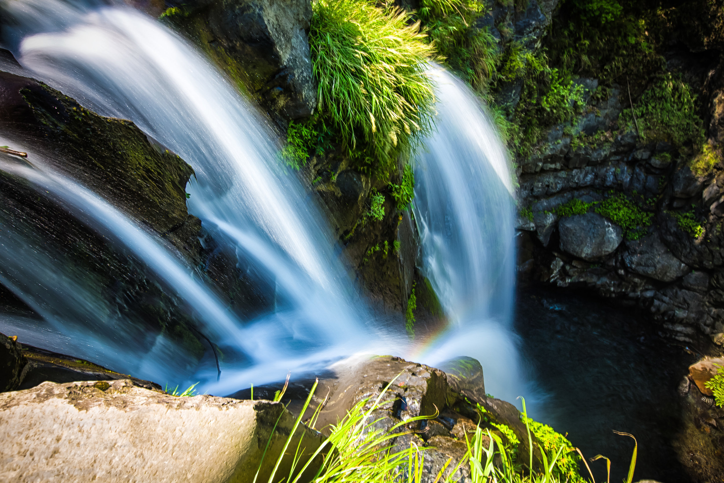
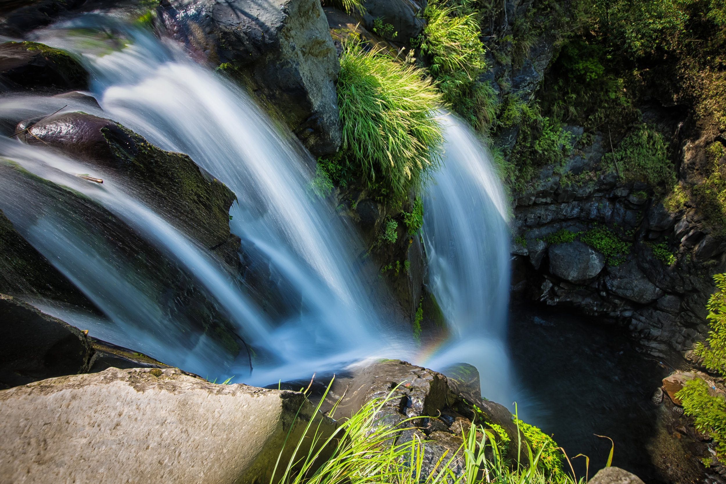
The bridge is about two hundred meters long and about seventy meters above the (sometimes) raging Dahan River (大漢溪), the source of water that ends up in the Shimen Reservoir (石門水庫) which provides much of the water for Northern Taiwan. The water below is emerald green and if you take some time to look down you should be able to see some local birds along the riverbank as well as fish swimming about.
Taking into consideration that this is a suspension bridge, when you walk on it, it will rock back and forth. If you’re afraid of heights, you’ll find to hold on to the rails on the sides to make sure that you feel comfortable.
From the highway, the bridge is a short walk down a set of stairs that should take you less than five minutes. Once you cross the bridge, you have the option of continuing along some of the hiking trails on the other side or heading back the way you came to move on to your next destination.
If you visit in April and May, you’ll also be treated to a display of Tung Blossoms (油桐花) on both sides of the river, which is an added bonus.


Getting There
Address: 桃園市復興區羅浮(羅馬公路桃118線起點)
The Yixing Suspension Bridge is located within Luofu Village (羅浮村) in Taoyuan’s Fuxing Township (復興鄉). Situated along the picturesque Northern Cross-Island highway (北橫公路), otherwise known as the #7 highway, the suspension bridge is close to the Xiaowulai Scenic Area and a short distance from the beautiful Luofu Bridge (羅浮橋).
If you have your own means of transportation, getting to the bridge isn’t all that difficult as it is located along the highway with parking spots nearby. All you’ll have to do is input the address provided above into your GPS and you’ll easily find your way.
If you’re relying on public transportation however, the situation becomes a little more difficult as the area is remote and bus service isn’t that frequent. Still, its not impossible, so if you want to take a bus to the area, you have the following options:
From Taoyuan Bus Station:
Bus #5090 - Taoyuan - Upper Baling (桃園-上巴陵)
Bus #5301 - Taoyuan - Baling (桃園 - 巴陵)
From Zhongli Bus Station:
Bus #5091 - Zhongli - Upper Baling (中壢 -上巴陵)
From Daxi Bus Station:
Bus #5093 - Daxi - Baling (大溪 - 巴陵)
Bus #5094 - Daxi - Baling (大溪 - 巴陵)
Bus #5109 - Daxi - Baling (大溪 - 巴陵)
A word of warning though, even though there are several bus routes that go up and down the mountain between Taoyuan, Zhongli and Daxi and Upper Baling, they aren’t all that frequent, so you’ll want to play close attention to the time of your bus and make sure that you don’t get stranded if you are taking the public transportation option.
If you’re looking for a suspension bridge to check out, but you’re a bit of a misanthrope like me, you’ll probably love this one. There’s no admission fee and even on weekends its not likely that you’ll come across very many people checking it out, especially since it is less than a ten minute drive from the much larger and (supposedly) more beautiful Xikou Suspension Bridge.
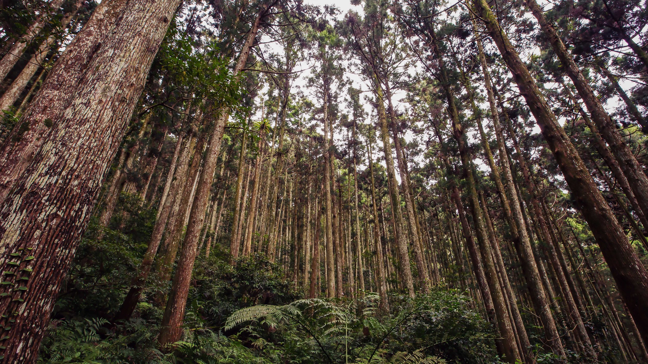
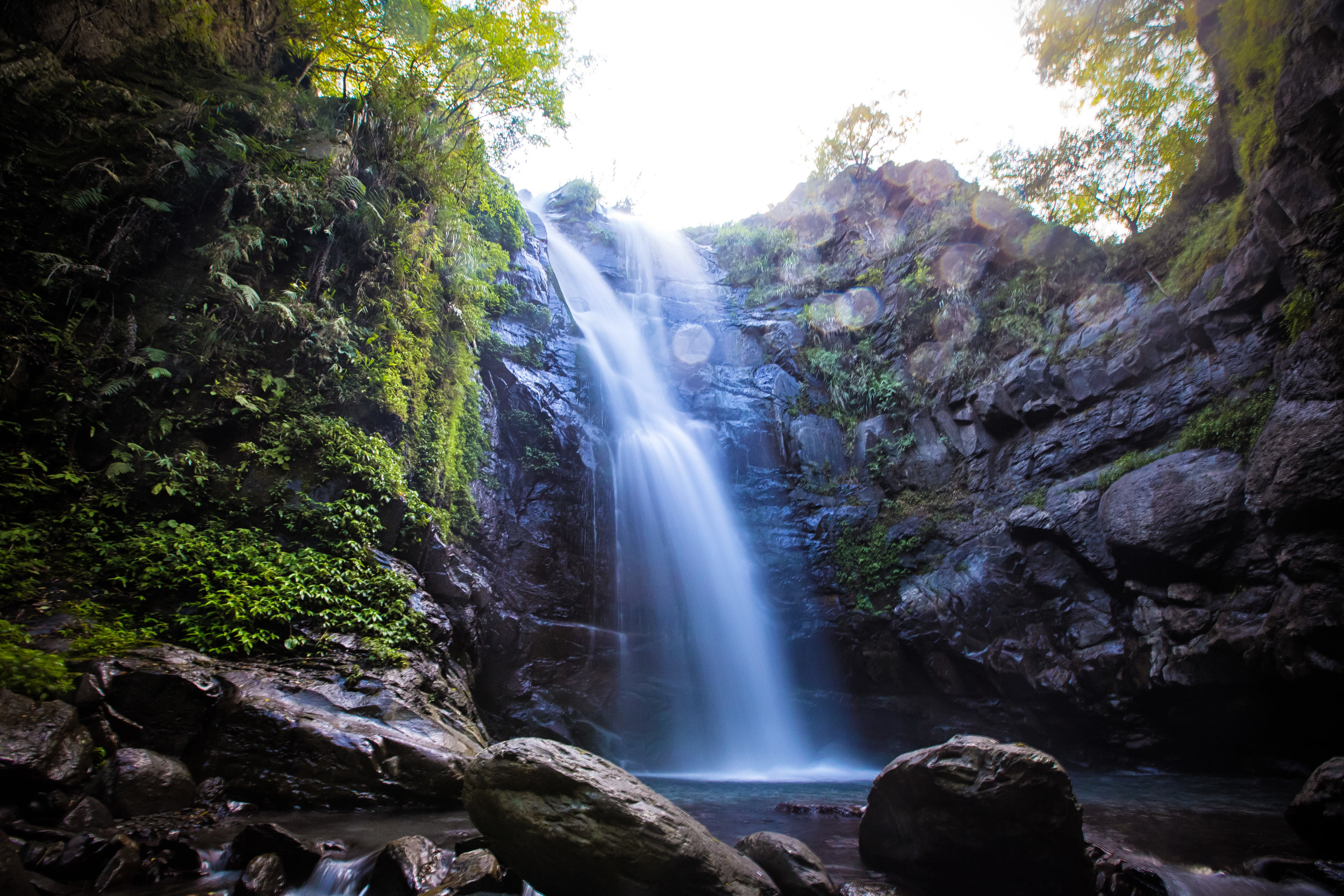
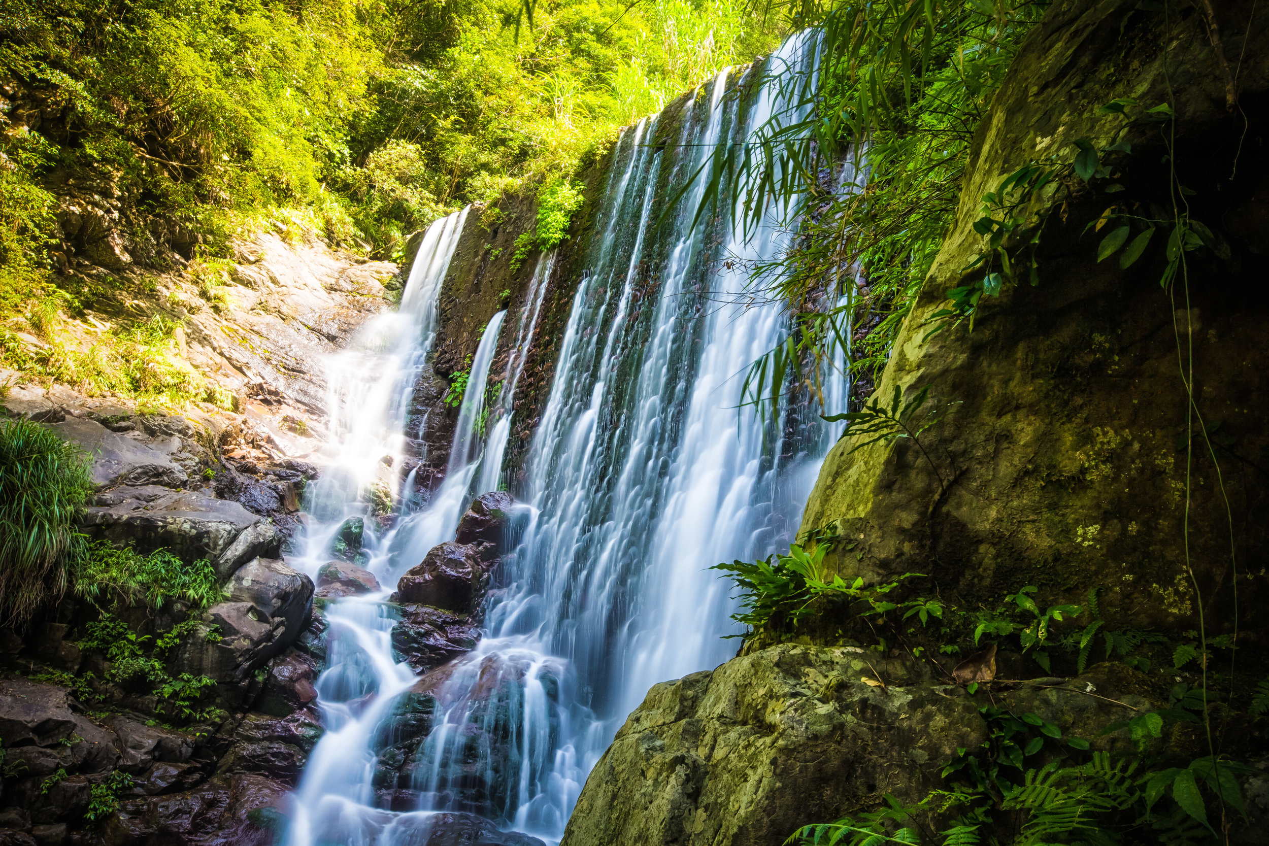
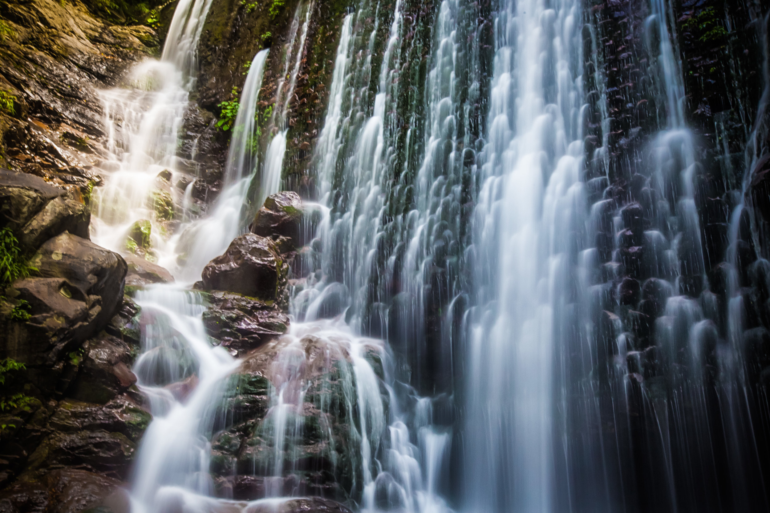
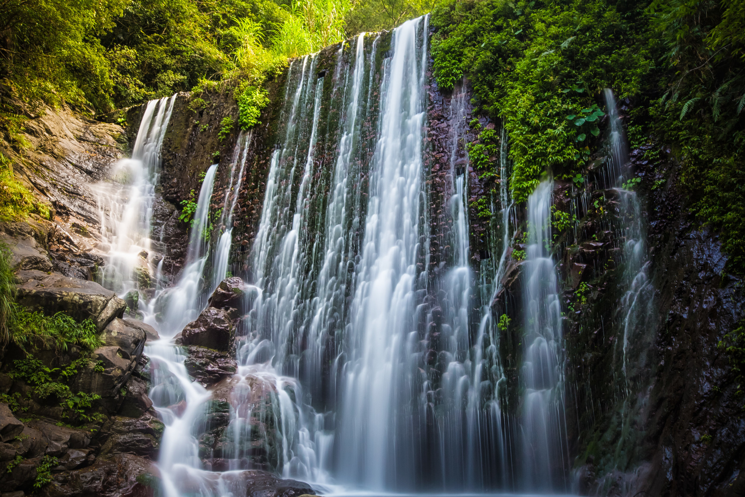
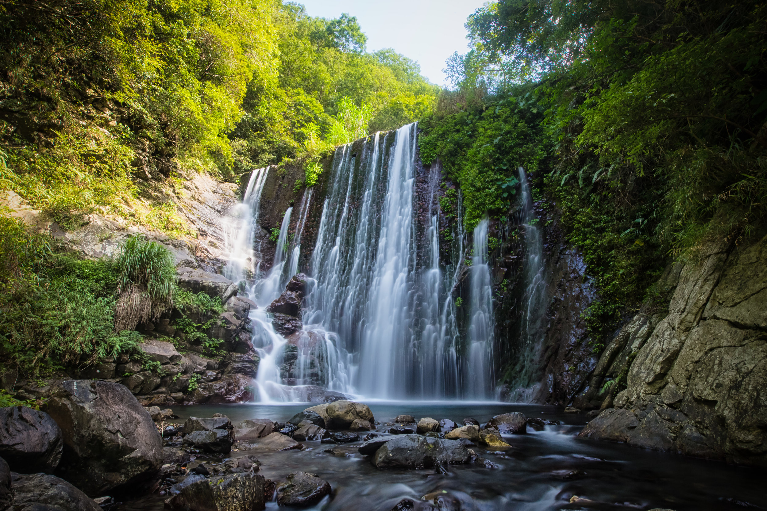
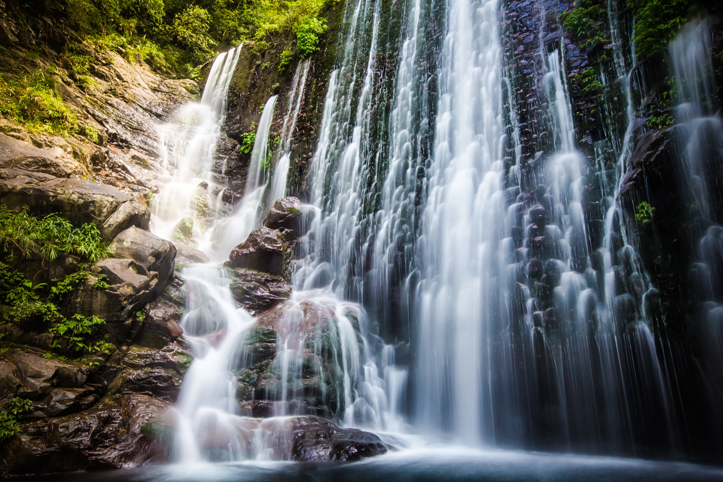
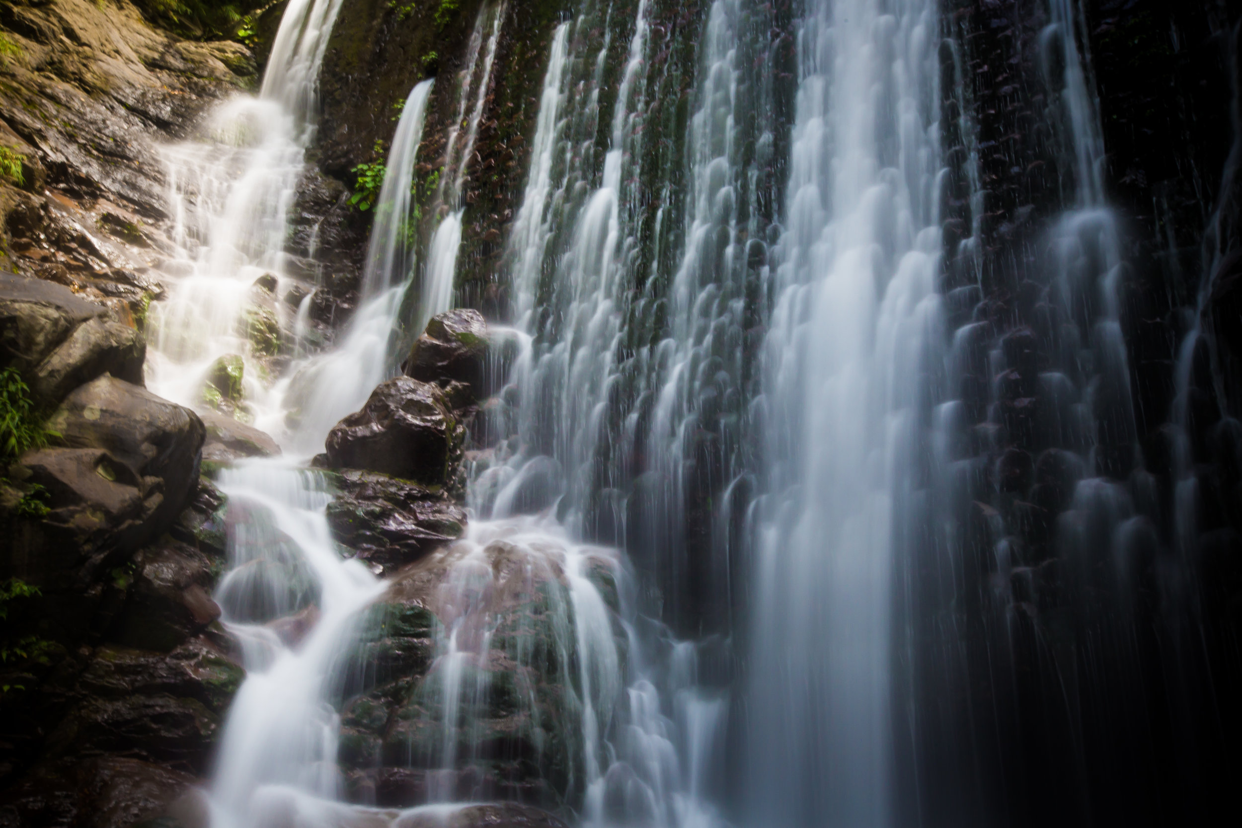
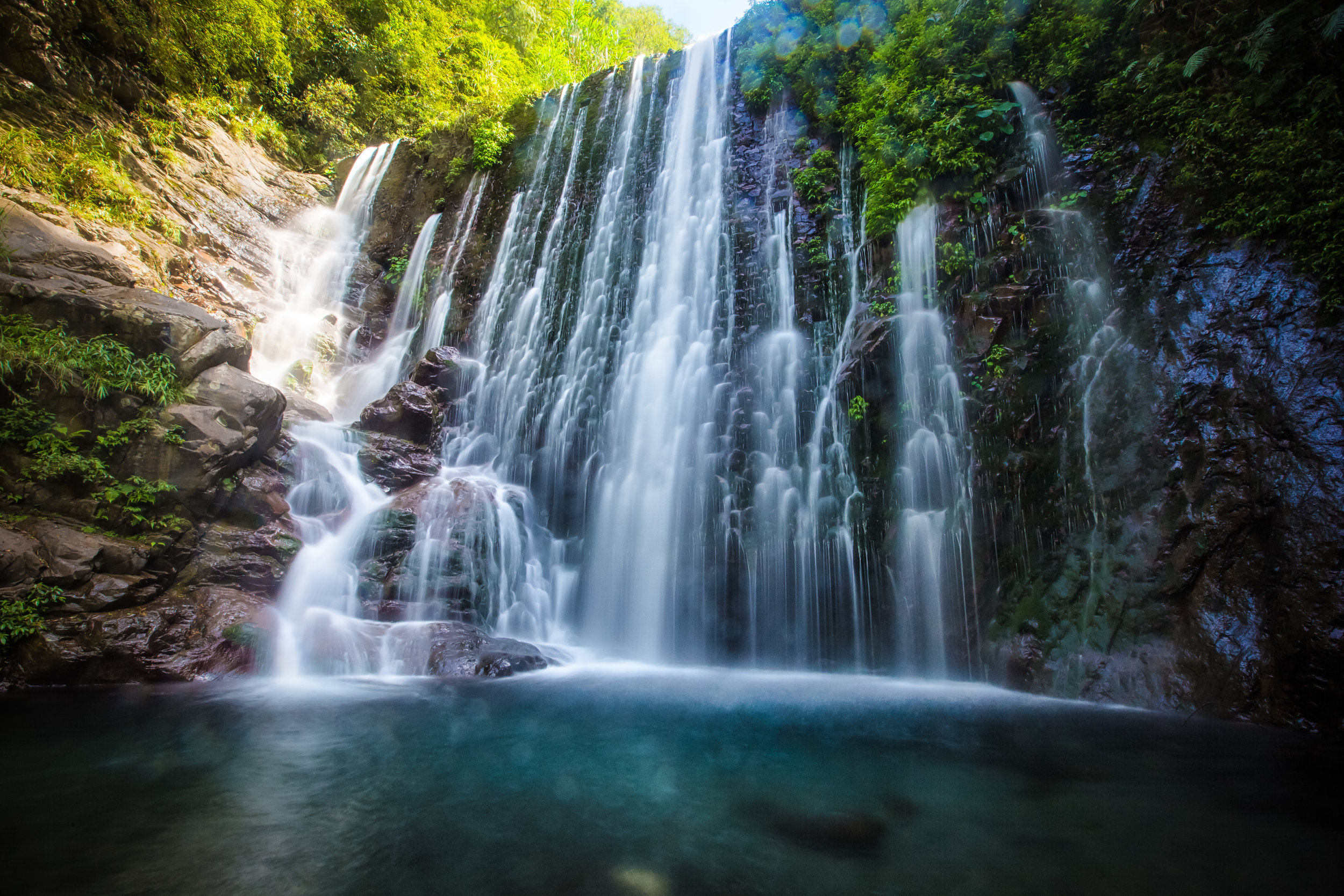
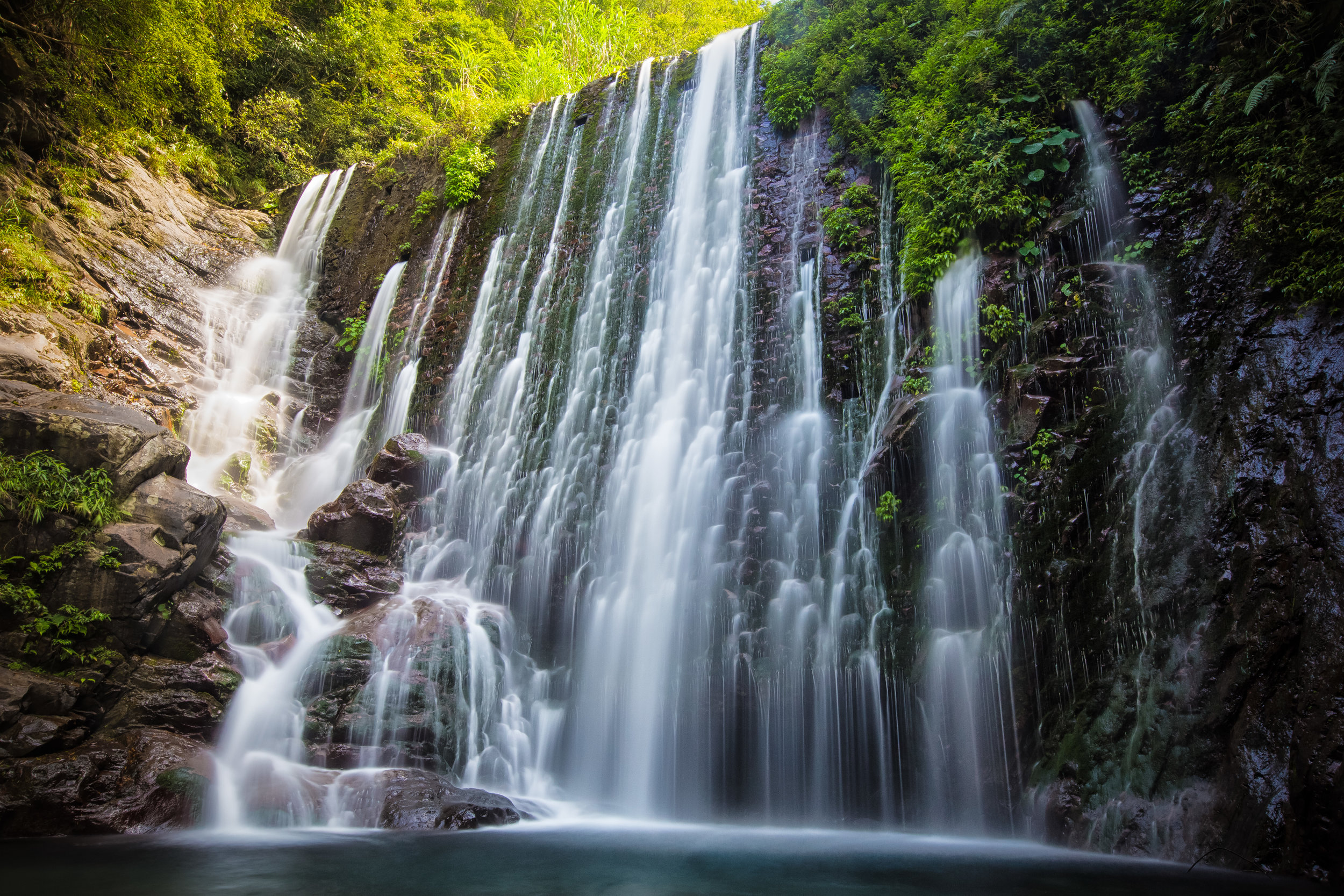
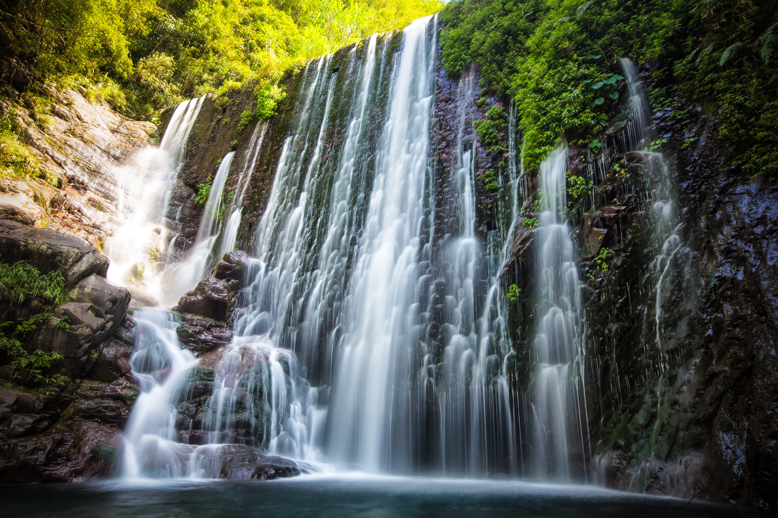
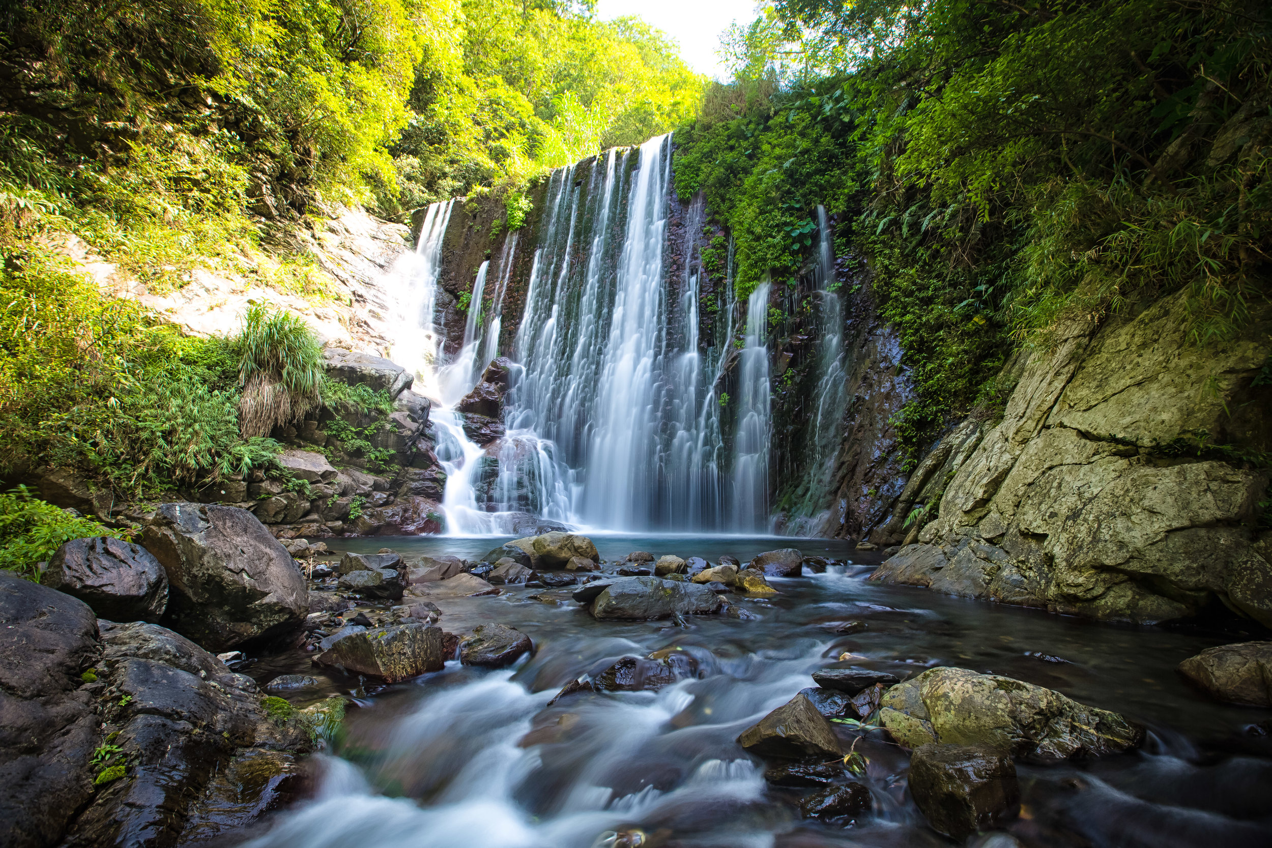
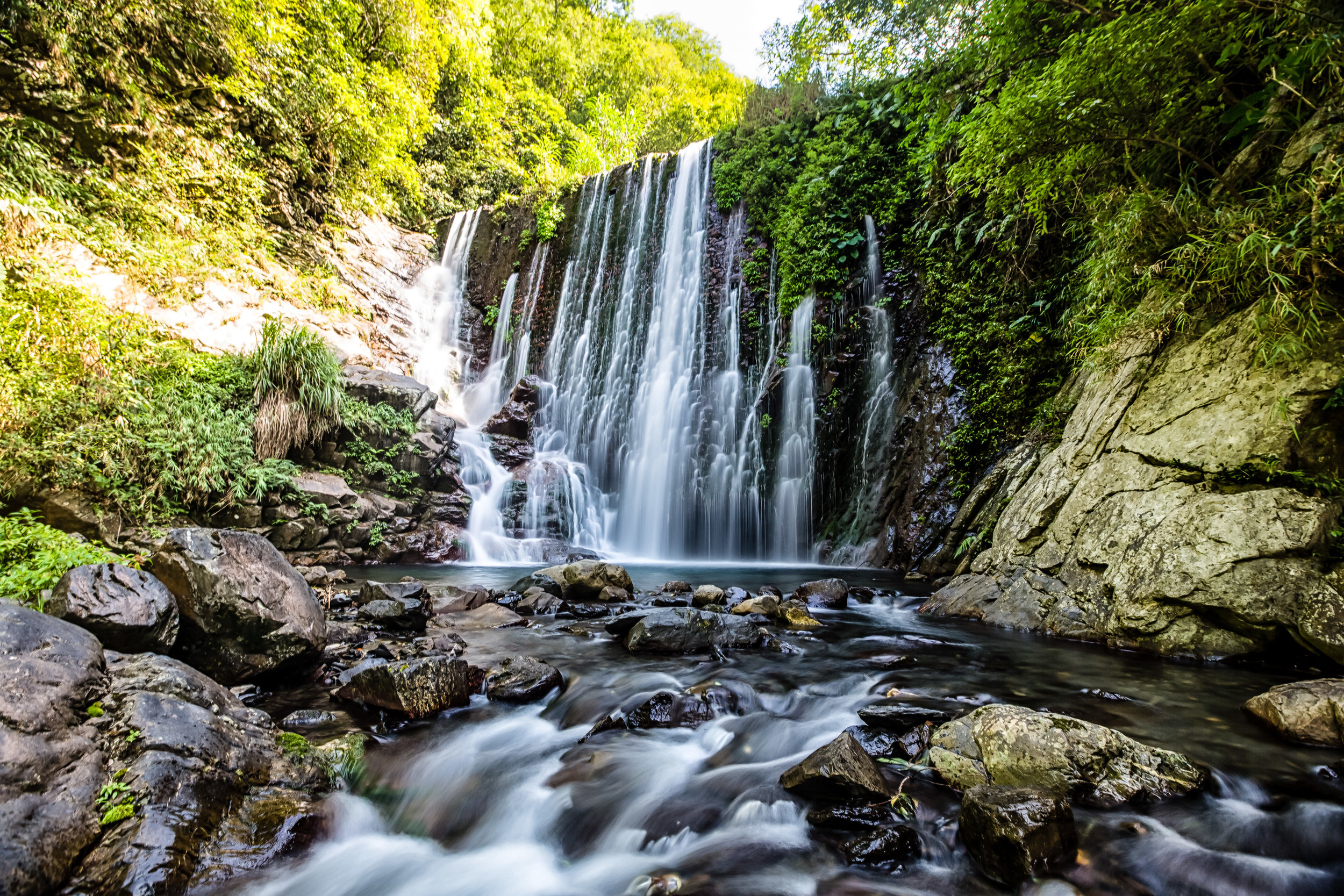
If your plan is to check out Xiaowulai, you could easily make a day trip out of the area by checking out the various waterfalls and hiking the trails that will eventually bring you to this bridge. If you’re not really into hiking though and just want to check out the suspension bridge, don’t worry - there is so much to do in this area of Taoyuan that you’ll easily be able to fill your day.
Further up the highway of course is the beautiful Lala Mountain Nature Reserve (拉拉山), Dongyanshan Forest Recreation Area (東眼山), the historic Jiaobanshan villa (角板山), Tiemu Waterfall (鐵木瀑布), Sanmin Bat Cave (三民蝙蝠洞), TUBA Church (基國派老教堂), Daxi Tea Factory (大溪老茶廠), Cihu Mausoleum and lots more.
Link: Taoyuan Blogs (桃園)
If anyone has ever told you that there isn’t anything to do in Taoyuan, I’m sorry to say that they’re full of shit - Taoyuan is awesome!
Gallery / Flickr (High Res Photos)