I’ve lived in Taiwan for well over a decade now and for almost as long as I can remember, every time I’ve travelled south along the national highway, I’ve always enjoyed the view when crossing the Da’an River (大安溪), the area that geographically separates Miaoli from Taichung.
The reason for this is quite simple, the Miaoli side has a beautiful mountain that glistens in the sun whenever you pass by. When you consider most of Taiwan’s mountains are lush with greenery, this one stands out thanks to almost red-like soil on the mountain side.
Its fair to say that I’ve probably passed by the mountain on the highway a few hundred times throughout my years living here and even though in the back of my mind I always wondered about the mountain, by the time I arrived at my destination, I had already forgotten about it.
Over the past year though, the mountain, which I’ve since learned is aptly named “Fire Mountain” (火炎山), has become a bit of a hit with young people, especially those on Instagram who hike (most of the way) to the top to get a photo of themselves at a spot that has become known as “Taiwan’s Grand Canyon” (台灣大峽谷).
In retrospect my curiosity about the mountain should have led me to finding out about it much sooner, but sometimes my curiosity about mysterious places often leads me down really deep rabbit holes, so I’ve been trying to make an effort as of late to not let my curiosity take up so much of the little free time I have.
That being said, the proverbial cat is out of the bag when it comes to this mountain and its recent popularity meant that a visit was definitely in order as I rarely miss the chance to get those super popular instagram photos (Pardon the sarcasm)
Fire Mountain (火炎山)
Situated on the geographic barrier between Taiwan’s Miaoli County and Taichung County, “Fire Mountain” or “Flame Mountain” (火炎山) has become one of the new hot spots on the country’s day-hike scene and is highly regarded for its stunning landscapes.
Once a protected nature reserve and home to several endangered local bird species, the mountain was for quite some time restricted only to researchers and bird watchers with a permit. Now it has reopened to the public and thanks to the skill of some Instagrammers, its popularity has skyrocketed making it one of the busiest trails in central Taiwan, second of course only to Yuanzui Mountain.
Stunning landscapes and Instagram photos aside, as one of Taiwan’s Top 100 Mountains (小百岳), Fire Mountain has always been a popular one among crowds attempting to complete one of Taiwan’s hiking challenges. It is also a popular stop for local birdwatchers who visit the mountain every year between April and May to observe flocks of migratory birds arriving back in Taiwan from the Philippines.
Note: To avoid a bit of confusion I think I should explain: There are two lists of ‘100 Peaks’ in Taiwan. One is a list of 100 peaks that are over 3,000 meters above sea level, known as the “Bai Yue” (台灣百岳) while the other is a list of 100 Peaks that can be climbed relatively easily known as the “Mini Bai Yue” (小百岳), this mountain is on the list of smaller peaks.
Link: 台灣小百岳列表 (Wiki)
At its highest, Fire Mountain reaches an elevation of 614 meters on its Northern Peak (北峰) while its Main Peak (主峰) is 596 meters above sea level. Formed hundreds of thousand of years ago, the geological structure of the mountain is similar to that of many of Taiwan’s mountains in that it was created by the movement of tectonic plates.
From the outset, this mountain set itself apart (from the others) in its composition from the ground up thanks to the weak cohesion of sandstone and sedimentary rock that make it less stable. Speaking plainly, this instability simply means that the physical attributes of the mountain are in a constant state of change, so whenever there is a heavy rain, typhoon or earthquake, the mountain changes a bit.
This natural effect is also the reason why the mountain has become so attractive as its jagged peaks, cliffs, valleys and slopes have all been formed by natural degradation over time.
Unfortunately (as mentioned above) due to the fragility of the mountain, it had to be closed off to the public for several decades. In 1986 (民國75年) the government designated the mountain as the “Fire Mountain Nature Reserve” (火炎山自然保護區) in order to allow for the mountain to naturally repair itself to prevent the effects of erosion, and to also allow the native Masson’s Pine Tree (馬尾松) to replenish itself.
Now that the trail has reopened, it has become a popular weekend destination for hikers and day-trippers, so the local government has made an effort to improve the safety of the trail allowing for a much better hiker experience for all. If you do plan on hiking this one (and you should), its important to remember that it is still a protected nature reserve, so try to have as little impact as you can on the natural environment and as always remember to take your trash with you.
Hiking Fire Mountain
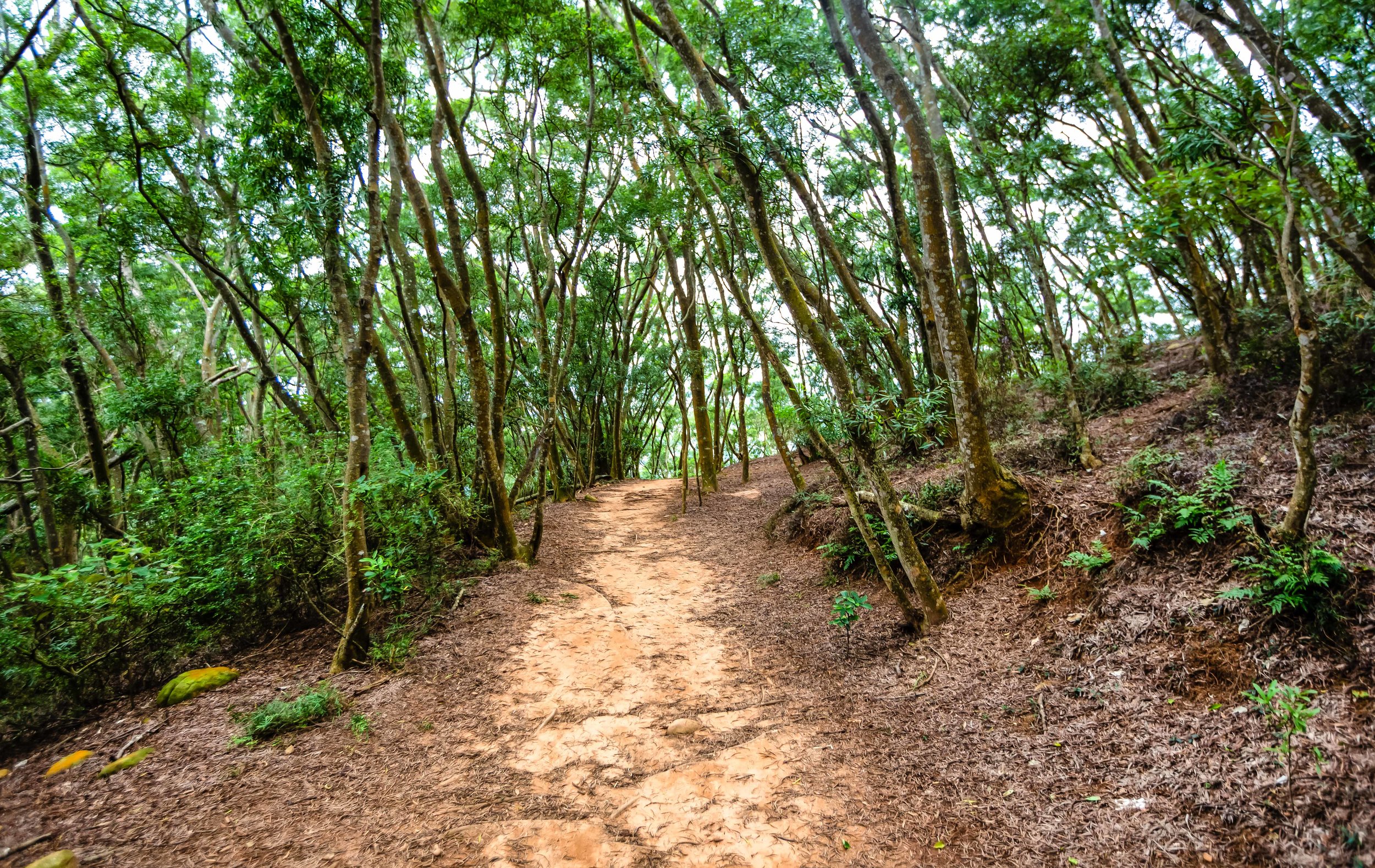
This hike is relatively easy and will only require a few hours of your time. Unlike many of the other mountains that have become popular in recent years, this one is essentially just a brisk nature walk, so you don’t need to be an experienced climber to complete the hike. With this in mind, if you’d like to bring your family or friends for an afternoon outing, this is a trail that should allow everyone to get a bit of exercise and enjoy a bit of Taiwan’s beautiful mountainous landscapes.
From the outset, the incline of the trail rises at a gradual pace which means that you won’t be starting out with a steep set of stairs like so many other trails. After about five-to-ten minutes of walking, you’ll start to be able to see the elevated highway through the trees and the path will start turning red.
As you hike you’re going to start noticing a few warning signs on the trail where there will be a beaten down path nearby - Unlike most of Taiwans trails, where hikers tie markers to trees which indicate the direction you should be heading in, this one is quite well developed and there is signage everywhere. The lack of these markers isn’t entirely a terrible thing in this case though as the warning signs you’ll see along the way (more often than not indicate) that there is a picturesque vista nearby.
So whenever you come across a warning sign, you’re likely to find an unmarked path branching off from the main trail that leads to an area where you’re able to take photos, and the higher you climb the more beautiful these vistas become.
The warning signs however are obviously there for a very important reason - The cliffs where you’re able to take these beautiful photos are often quite dangerous and while it may seem like a good idea to get a photo of yourself sitting on the edge of the cliff, you should be aware that erosion on this mountain is a real thing and that if you’re not careful, you might be involved in a landslide of your own making.
You definitely don’t want to have your dead body featured on the news and force the closure of the trail, which would ruin the experience for everyone else, so use your brain and stay safe.
Each time you approach one of the vistas, you may start thinking to yourself that you’ve arrived at the ‘famous photo spot’ but I assure you, when you reach the ‘spot’, you’re going to know. This is because there is a rather generous amount of signage that indicates that you’re approaching the ‘Grand Canyon’ and once you’ve arrived, you’ve pretty much reached your destination.


When you’re standing at the trailhead and you’re looking at the map of the trail, it provides an ‘estimate’ of how long it should take you to complete the hike. Something that you’re going to have to learn about these signs here in Taiwan is that the estimate is way off and it is never going to take nearly nearly as long to complete. Still though, these estimates are good at scaring people away.
The local authorities estimate that this mountain is going to take about 3.5-4 hours to complete, but its important to note that the vast majority of hikers aren’t coming here to "complete” the mountain, they’re only really hiking to the Grand Canyon and then heading back to the trailhead. With this in mind, you can easily shave off an extra hour or so of the estimate.
Unfortunately, if you are hiking this trail on the weekend, the time you save by not hiking to the peak may end up not being time saved at all - Hiking on the weekends mean that you’re going to have to deal with a bit more traffic on the trails. It also means that if you want to take photos at the Grand Canyon that you’re going to have to get in line with a bunch of ravenous (yet beautiful) Instagram celebrities. If you’re like me though, you may feel quite entertained by watching them take photos with all all their weird poses.
Given that the trail is so well-developed and that hiking it is rather difficult, you shouldn’t have much trouble hiking this one. If you take a look on instagram at some of the outfits many of the instagram celebrities have worn while hiking, it should offer a much better indication of just how easy this one is. Nevertheless, this is a mountain, so you’ll want to make sure you bring enough water and wear proper footwear. You’ll probably also want to bring a raincoat with you just in case it starts to rain.
Tour / Permit
It seems like there is a bit of misinformation out there about whether or not you need a permit to hike the mountain or whether you need to have a tour guide take you up the mountain.
Let me dispel both of these rumours right now.
You might have read somewhere on the internet or heard from a friend that you need a permit to hike the mountain. That’s false. You don’t need to have a permit. There are quite a few mountains in Taiwan where you’ll need a permit, but this isn’t one of them. You’re not going to encounter anyone at the trailhead checking for permits or identification. What you will find at the trailhead is simply a map of the route and several warnings about the danger of walking too close to unstable cliffs.
The reason why people claim that a permit is necessary is because years ago the mountain was a protected nature reserve for replenishing trees and protecting a few endangered local species of birds, most notably the “Grey-faced Buzzard” (灰面鵟鷹) which migrates to the Philippines during the Winter and returns in Taiwan in April each year.
Those issues seem to have been rectified with time, so they’ve reopened the trail to the public.
You might have also read online, especially on some Taiwanese tour sites that you need to take a tour to hike the mountain. That is also false.
If you see a website claiming that you need to join a tour to hike this one, they’re just spreading misinformation in order to make some money off of their paid tours. I don’t want to ruin anyone’s business, but I also don’t like people spreading false information to tourists in order to cheat them and make money.
Of course having a tour guide and travelling with a tour group could solve some of the travel issues involved with getting to the mountain, but most of these tours are more expensive than what you would pay if you followed the travel advice I’m going to provide below.
Ultimately it is up to you how you get to the trail, but you definitely don’t need a permit and its not necessary to join a tour - All you have to do is simply walk up to the trailhead and enjoy your hike.
Getting There
One of the main obstacles to climbing Fire Mountain is actually getting to Fire Mountain.
When I say that, I mean for those who don’t have their own means of transportation, be it car or scooter, getting to the trailhead can be a bit of a hassle that will probably include a train ride and a taxi ride.
If you have a car, getting to Fire Mountain is rather straight forward - Take the National Highway Number One (國道一號) and get off at the Sanyi Exit (三義交流道). From the interchange make a right turn and then at the first set of traffic lights turn left on Road 13 (台13線). Follow that road until you reach the bottom of the hill where you’ll find yourself under the highway. The trailhead is located directly next to that road.
When you want to park your car, there isn’t much choice in terms of legal parking spots, so you’ll likely have to park in the “正松泉停車場” paid parking space by the trailhead. The parking fee is only 50NT though, so it shouldn’t be much of a problem - unless of course its full.
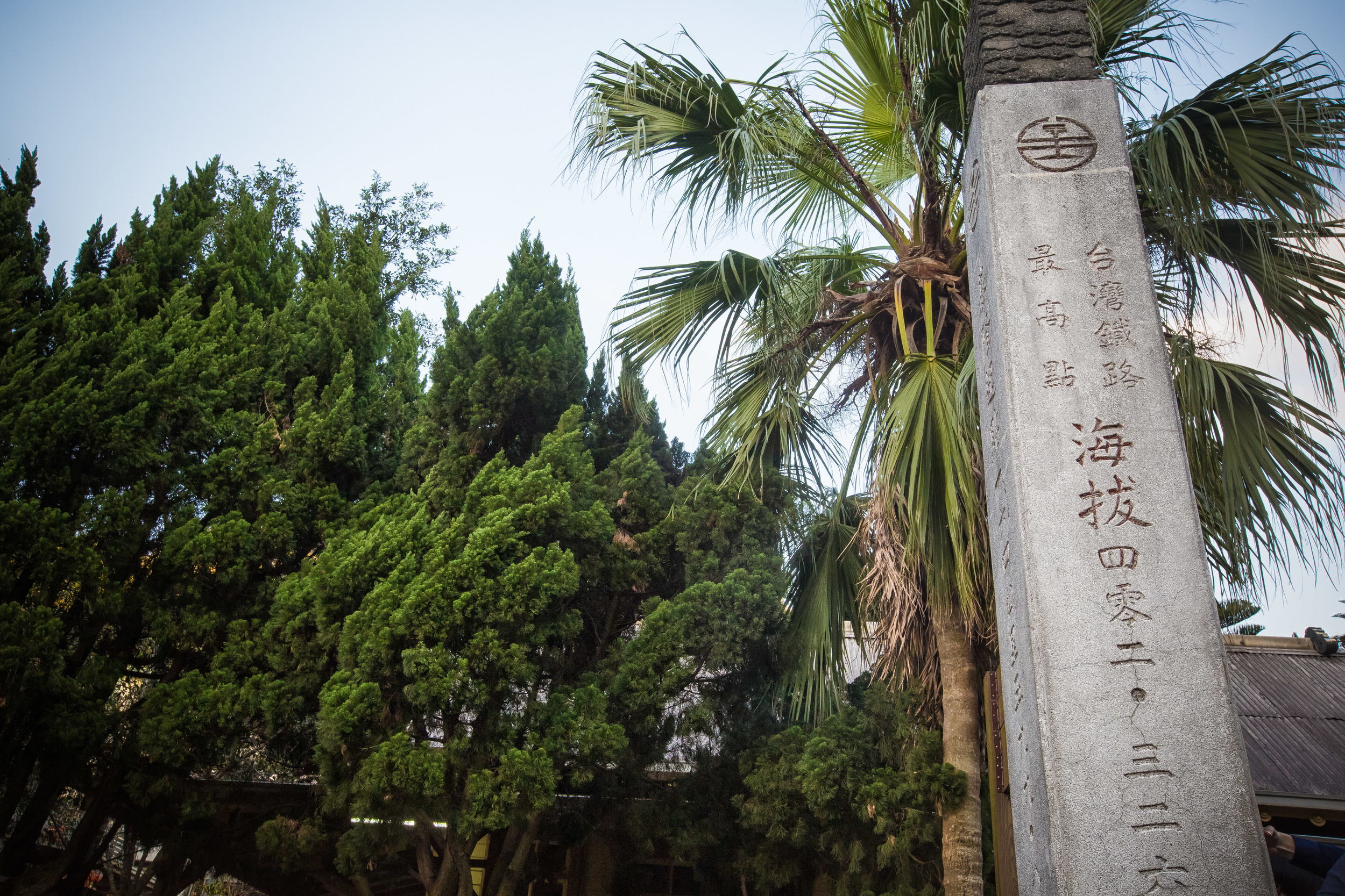
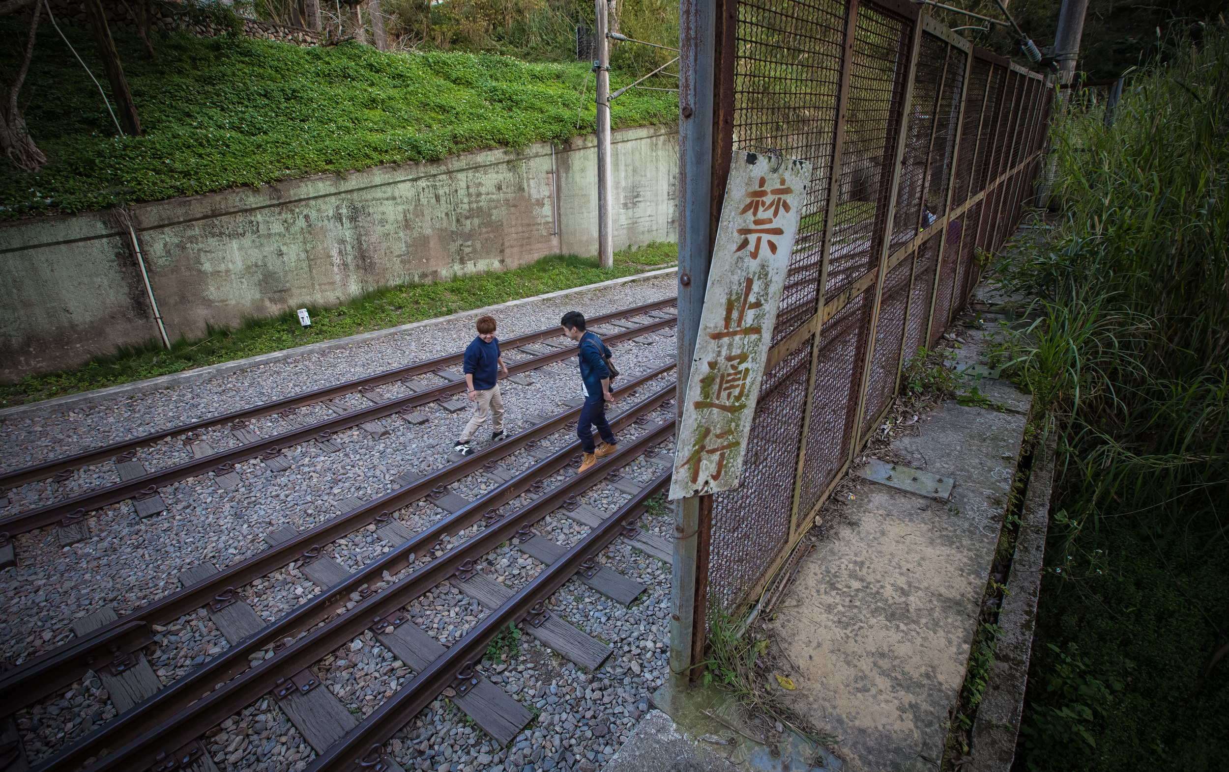
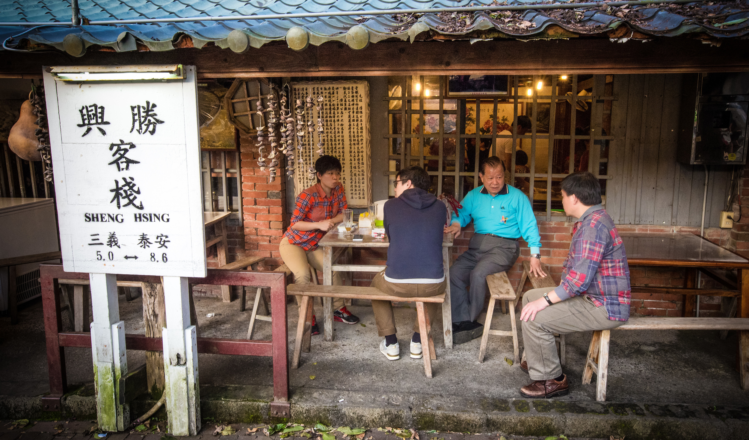
If you are relying on public transportation, the easiest way to get there is to take a train and then take a taxi from the station to the trailhead. If you are travelling from the north, I recommend getting off at Miaoli’s Sanyi Station (三義車站) and if you’re coming from the south, you could get off at Taichung’s Tai’An Station (泰安車站). The distance from both stations is more or less the same, but the trip from Sanyi is probably the most straightforward and should cost around $200NT
It is important to remember though that if you are taking a train to Sanyi or Tai’An, that at some point you’ll have to switch to a Local Train (區間車) as the Express Trains don’t stop at either of those stations. If you’re coming from the north, get off at Miaoli Station (苗栗車站) and if you’re coming from the south get off at Houli Station (后里車站) to transfer.
Once you’ve arrived and you get in the taxi, if you can’t speak Chinese you can show him this or try your best to read the pinyin: “我要去火炎山登山口” (wǒ yào qù huǒ yán shān dēng shān kǒu). Considering the popularity of the hike as of late, the driver is likely to know exactly where you want to go. You might also want to remember the drivers phone number or get a copy of his card so that you can call him to pick you up.


For most travellers this hiking trail isn’t going to be a particularly easy one to get to, but it is a fun one and if you do decide to hike it, you’re going to be rewarded with excellent views of Taiwan’s so-called “Grand Canyon” as well as the Da’an River that stretches all the way out to the ocean. The hike is relatively easy and is well-maintained, so with a bit of effort you’ll be rewarded with several picturesque vistas and you’ll be able to get one of those important instagram photos that everybody’s looking for.
Remember though, some of the cliffs are dangerous, so if you notice a warning sign, it’s best to take some precaution while at the same time enjoying the experience of hiking this beautiful trail.